
Towns & cities · North West England
Boot
Boot — village in Cumbria, England, UK.

Wikimedia Commons contributors — see linked file page for photographer and licence licence

Plan your visit
- Typical visit
- 3 h–6 h
- Nearest railway station
- Dalegarth · 0.4 km
- Paid entry
- Family-friendly
- Dog-friendly
Getting there & planning your visit
Boot is located in North West England, with the nearest railway station being Dalegarth, which is 0.4 km away. Entry to the town is free.
About
Boot is a town, city, village or settlement in the United Kingdom. Recent population estimates put it at around 15 people. Address: CA19. Wikidata describes it as: "village in Cumbria, England, UK". Coordinates: 54.3982°, -3.2700°.
Photo gallery
See it from the streetimagery from 2022
Imagery © Mapillary contributors, CC BY-SA 4.0
Official information
Eskdale Mill is a historic water-powered corn mill located in the village of Boot, showcasing the traditional craft of milling and the importance of water power in rural life. Visitors can explore original milling machinery, learn about hydro-electric generation, and enjoy interactive activities suitable for all ages.
From the Wikipedia article
Boot is a small village in Eskdale on the western side of the English Lake District. It lies within the civil parish of Eskdale, the unitary authority of Cumberland, and the ceremonial county of Cumbria. The main part of the village lies beside the Whillan Beck, whilst its church, St Catherine's, lies 0.6 miles (0.97 km) to the south on the bank of the River Esk. The Whillan Beck flows into the Esk just downstream of the village. The village can be approached by two roads, one up the valley from the coast, and the other over the Hardknott and Wrynose passes from the central Lake District. The latter is England's steepest road and is often closed in winter or during icy weather. The Ravenglass and Eskdale Railway, a seasonally operated narrow-gauge steam railway, has its upper terminus at Dalegarth station, some 5 minutes walk from the village. On the moorland around 1 mile (1.6 km) north of the village are five Bronze Age stone circles known collectively as the Burnmoor stone circles and dating from around 2000 BCE. The remains of the Hardknott Roman Fort are 3 miles (4.8 km) to the east; the fort was occupied for most of the period from the early 2nd to the late 4th centuries. In the village there is a watermill dating back to 1547 known as Eskdale Corn Mill. Since the 1970s this has been open to the public as a visitor attraction and showcases original working milling machinery driven by two overshot waterwheels. The mill underwent a £1 million refurbishment in 2019 with support from the National Lottery Heritage Fund and Copeland Community Fund. During the 19th century there was some mining of hematite iron ore at a number of sites around Boot, including at Nab Gill above the village, Ban Garth just to the west and Gill Force on the other side of the Esk. It was these mines that led to the initial construction of the railway, which at that time terminated in the village and was linked to the mines by branches or inclines, but yields proved to be disappointing…
Excerpt from Wikipedia under CC BY-SA 4.0. See the source article linked in Sources below.
- Coordinates
- 54.3982, -3.2700
- District
- Cumberland
- Parish
- Eskdale
- Postcode
- CA19
- Parliamentary constituency
- Barrow and Furness
- Phone
- 01946 723335
- Population
- 15
- Nearest railway station
- Dalegarth — 0.4 km
- Opening
- April – October: Open Sundays – Thursdays, 10.30am-4.30pm; closed most Fridays and Saturdays. November – March: Open during school holidays only, 11am-3.30pm.
- Official site
- www.eskdalemill.co.uk
Sources
- wikidata: Q893113 (CC0)
- wikipedia: Boot, Cumbria (CC BY-SA 4.0)
- commons: Boot. - geograph.org.uk - 246722.jpg (CC BY-SA 4.0)
Other places nearby

Bridge Over Whillan Beck To South West Of Corn Mill
Historic bridges · 0.1 km

Eskdale Corn Mill
Watermills · 0.1 km
Eskdale Mill
Museums · 0.1 km

Eskdale Campsite
Campsites · 0.2 km

Nab Gill Iron Mine
Viewpoints · 0.3 km

Eskdale War Memorial
Memorials & monuments · 0.7 km
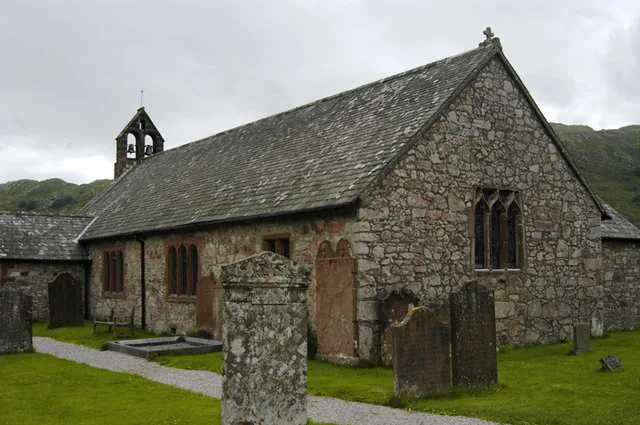
St Catherine's Church, Boot
Historic churches · 0.8 km

Gill Force
Waterfalls · 0.8 km

Dalegarth How
Mountains & hills · 0.8 km
Dalegarth How
Mountains & hills · 0.8 km

Blea Tarn Hill
Mountains & hills · 0.9 km

St Catherine's Well
Archaeological sites · 0.9 km
Boot is a small village located in North West England with a population of 15. Our guide lists nearby attractions within reach.
At a glance
- Population
- 15
- Constituency
- Barrow and Furness
- Top categories near here
Things to see in Boot
139 attractions within 12 km — showing the 24 most editorially-significant. Full guide: things to do in Boot →
 ★ Iconic📷 4
Wild swimming spots · North West England
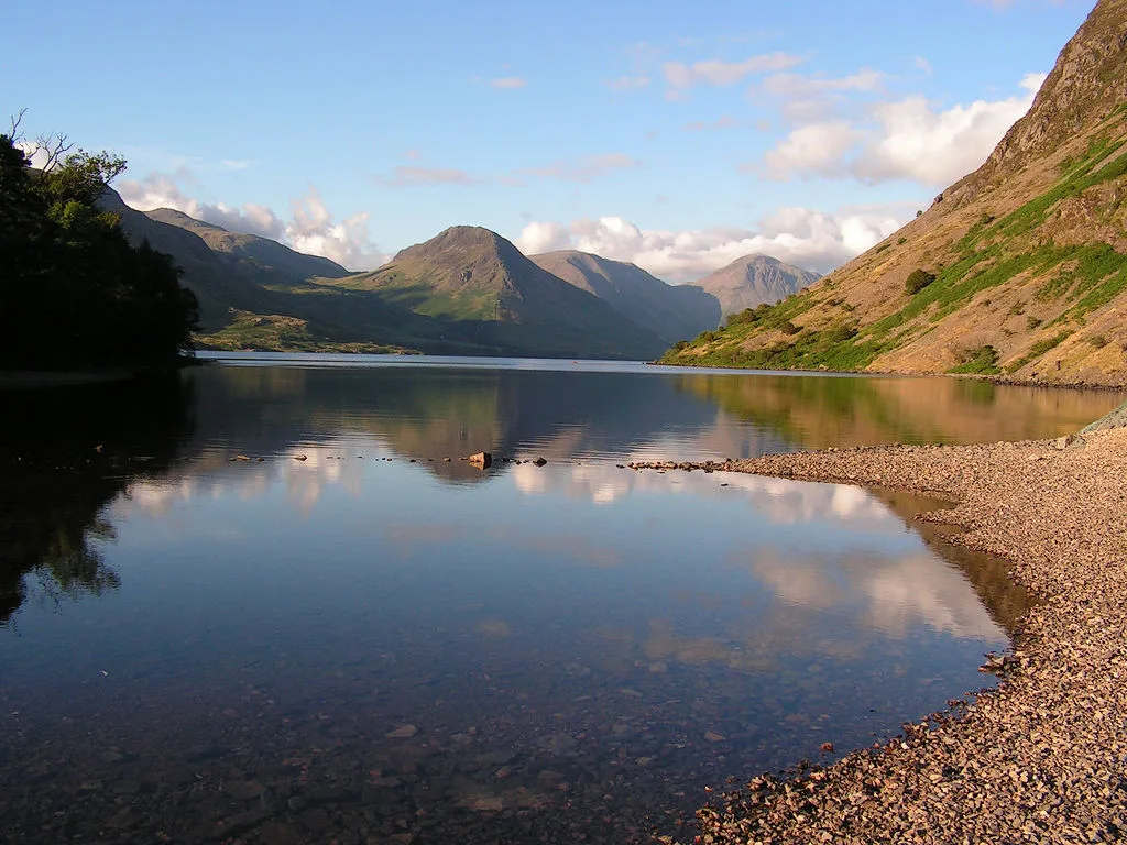
Wast Water
England's deepest lake — 79m deep, iconic view, popular wild swim.
 📷 5
📷 5Wildlife reserves · North West England
Bamse's Wood
Bamse's Wood — nature reserve in Cumbria, United Kingdom.
 📷 5
📷 5Natural landmarks · North West England
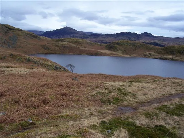
Blea Tarn
Blea Tarn — lake in Eskdale, Cumbria, United Kingdom.
 📷 3
📷 3Natural landmarks · North West England
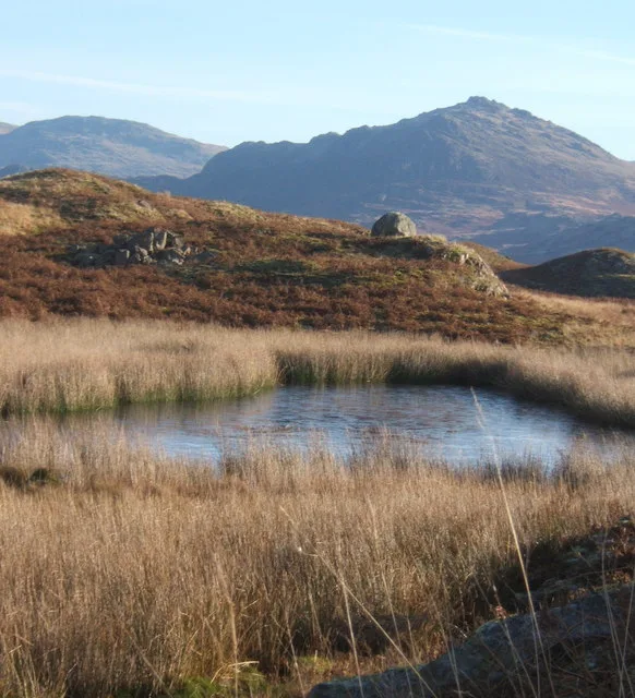
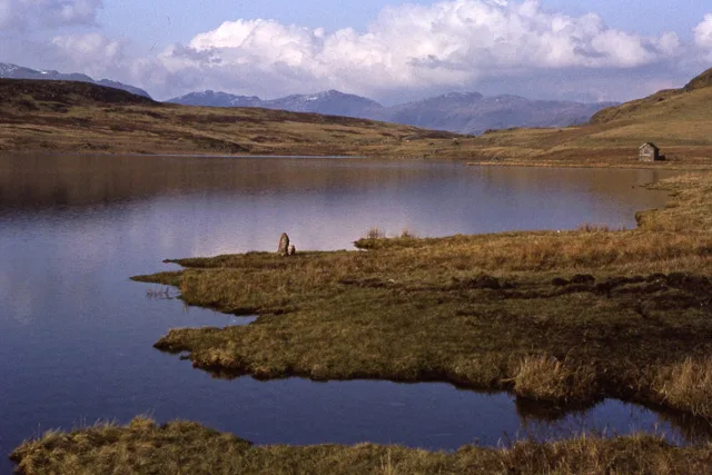
Blind Tarn
Blind Tarn — lake in Eskdale, Cumbria, England, UK.
 📷 3
📷 3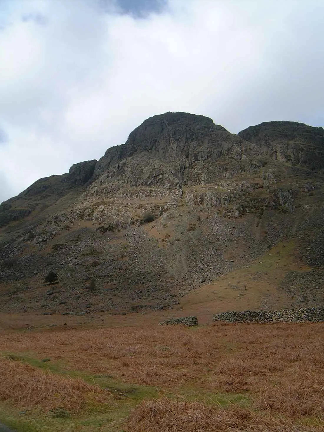 📷 3
📷 3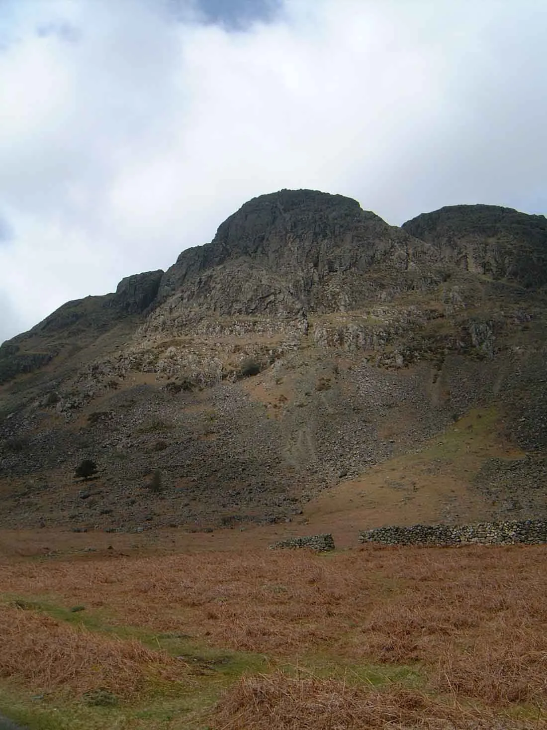 📷 3
📷 3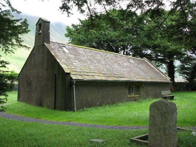 📷 3
📷 3Historic churches · North West England
Church of St Olaf
Church of St Olaf — grade II listed church in Wasdale Head, Cumbria, England, UK.
 📷 3
📷 3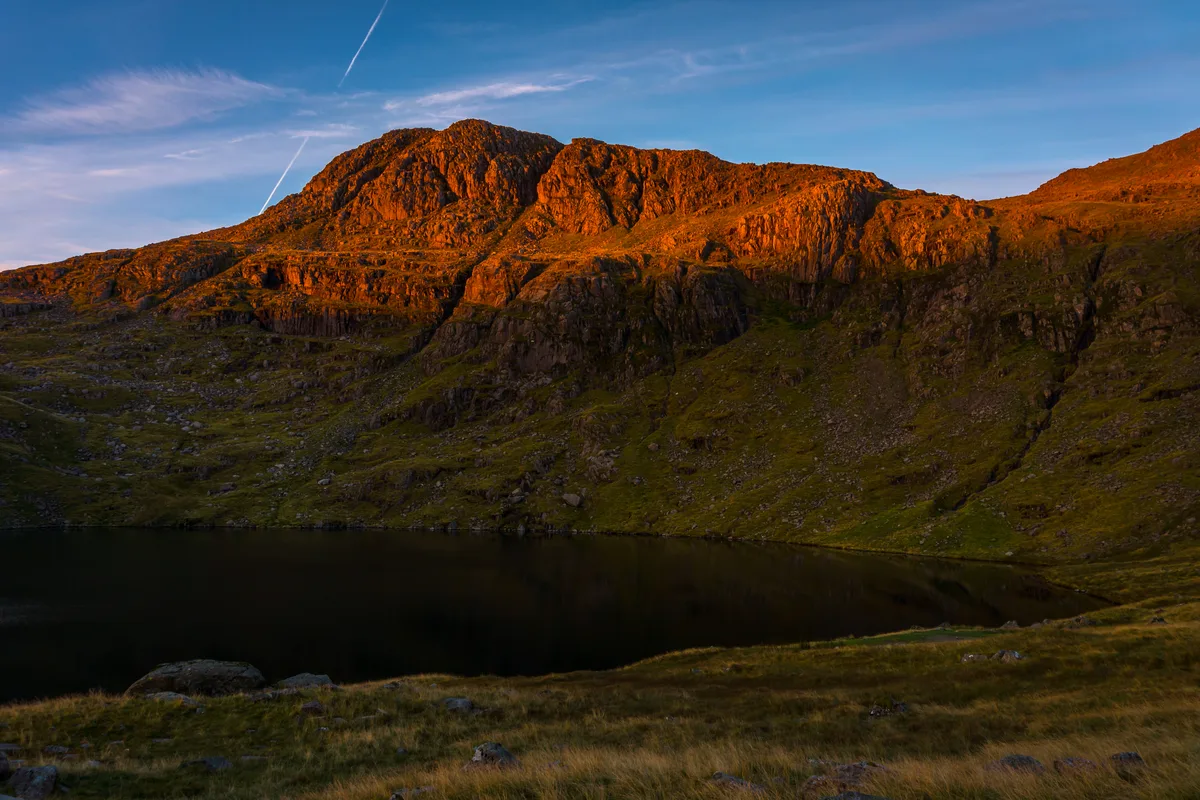 📷 3
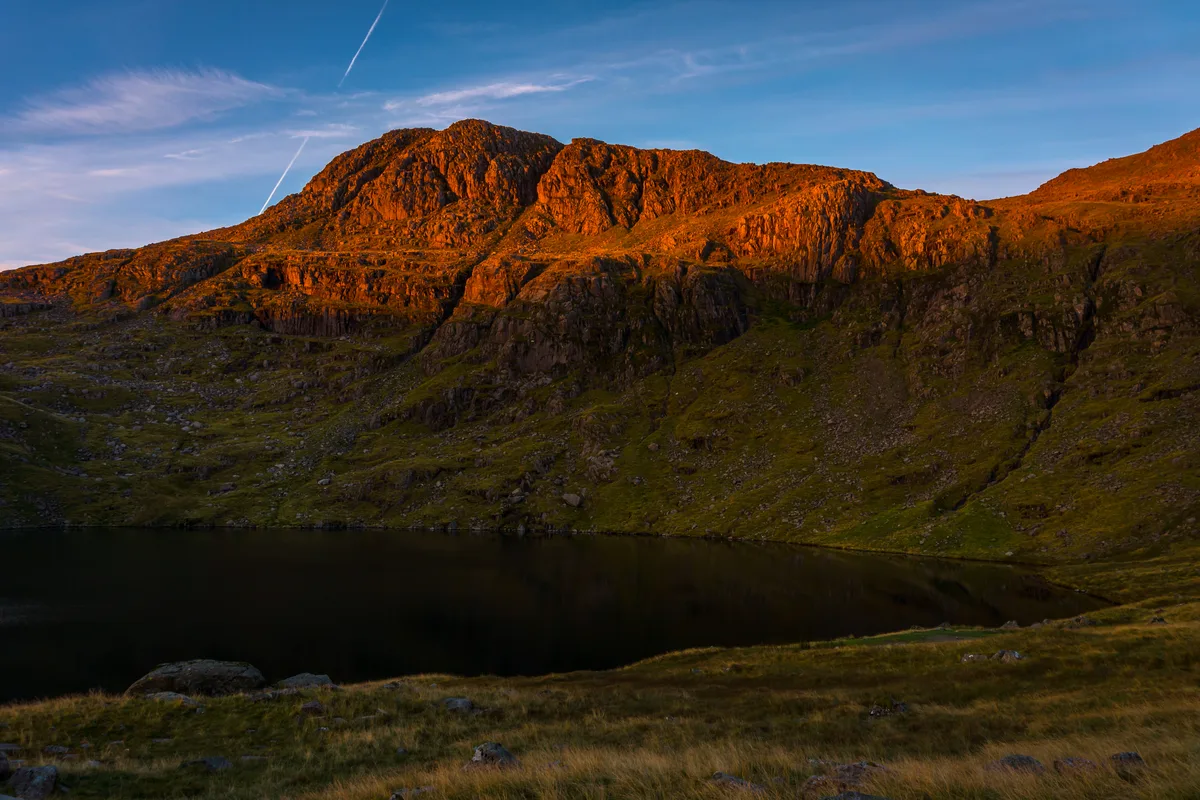
📷 3Natural landmarks · North West England
Esk Pike
Esk Pike is a natural landmark in the United Kingdom.
 📷 3
📷 3 📷 5
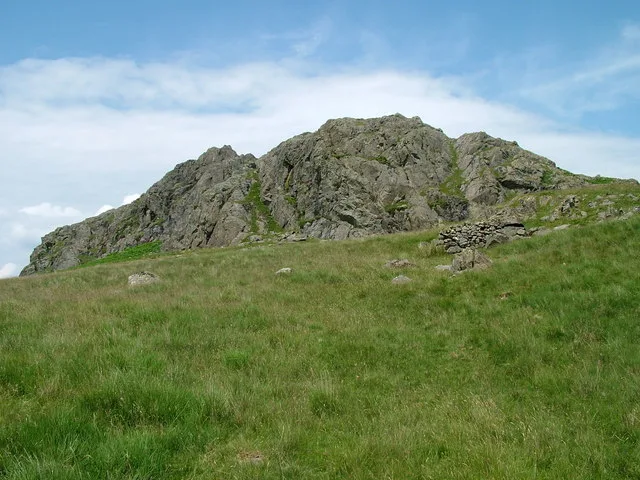
📷 5Archaeological sites · North West England
Giggle Alley
Giggle Alley — woodland in Eskdale Green, England.
 📷 3
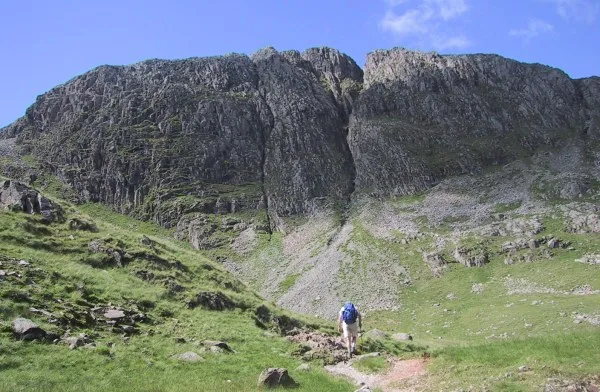
📷 3Archaeological sites · North West England
Great Crag prehistoric cairnfield and associated field system 710m south east of Birkerthwaite
Great Crag prehistoric cairnfield and associated field system 710m south east of Birkerthwaite — archaeological site in Eskdale, Copeland, England, UK.
 📷 3
📷 3Natural landmarks · North West England
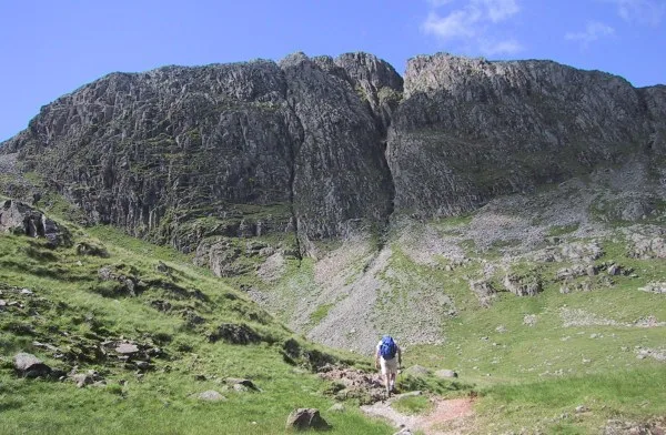
Great End
Great End — mountain in the Scafell chain, in the English Lake District.
 📷 3
📷 3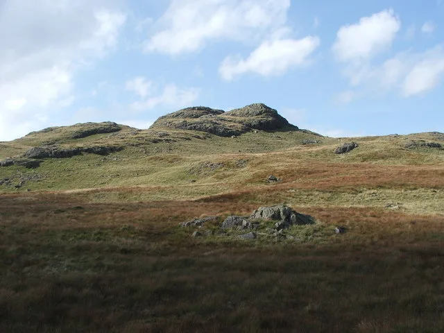 📷 3
📷 3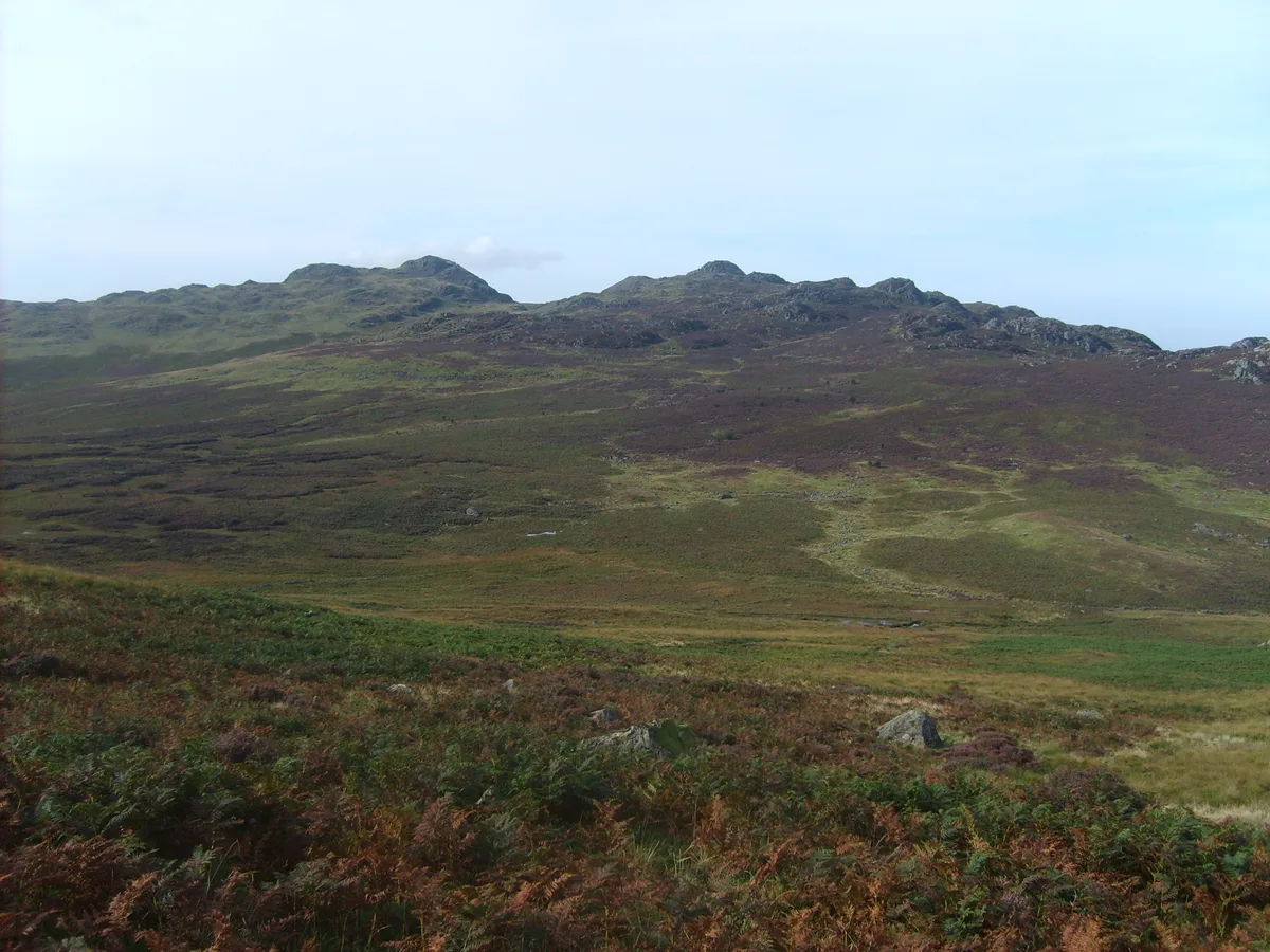 📷 3
📷 3Natural landmarks · North West England
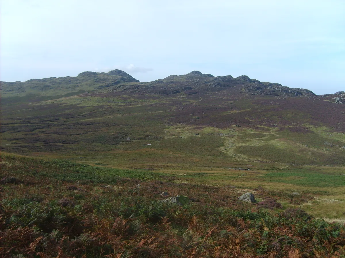
Green Crag
Green Crag — mountain in Cumbria, United Kingdom.
 📷 3
📷 3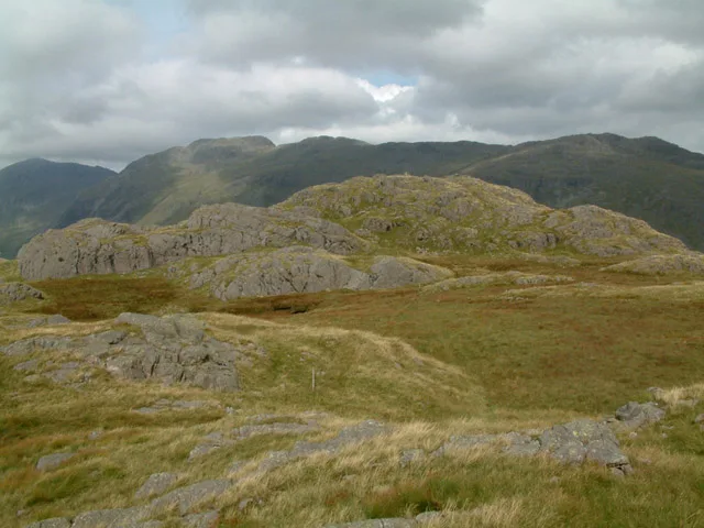 📷 3
📷 3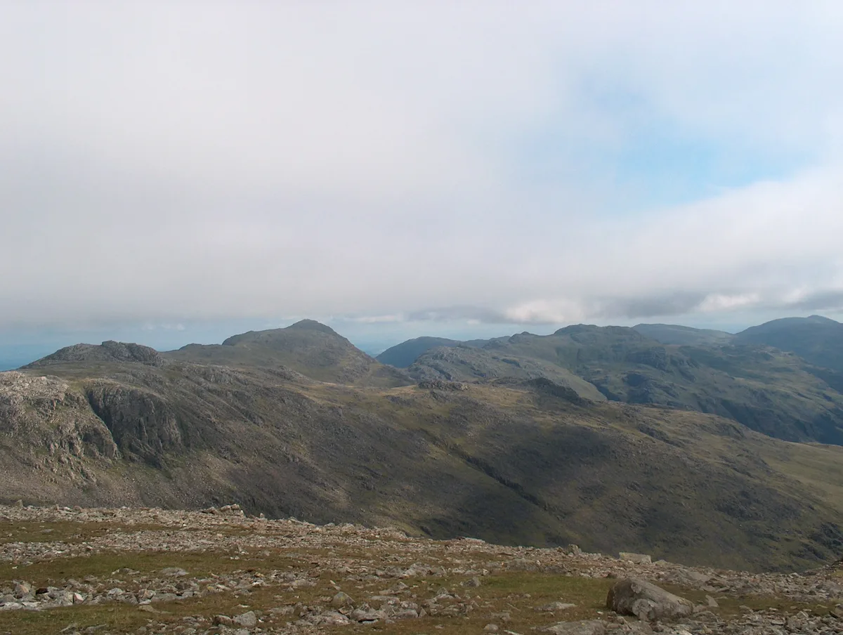 📷 3
📷 3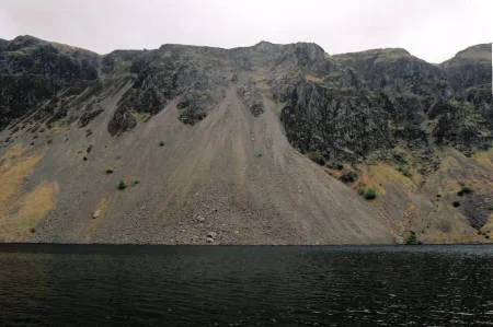 📷 3
📷 3 📷 3
📷 3Mountains & hills · North West England
Illgill Head (summit)
Illgill Head (summit) — Named summit at 608.8 m.
 📷 3
📷 3Memorials & monuments · North West England
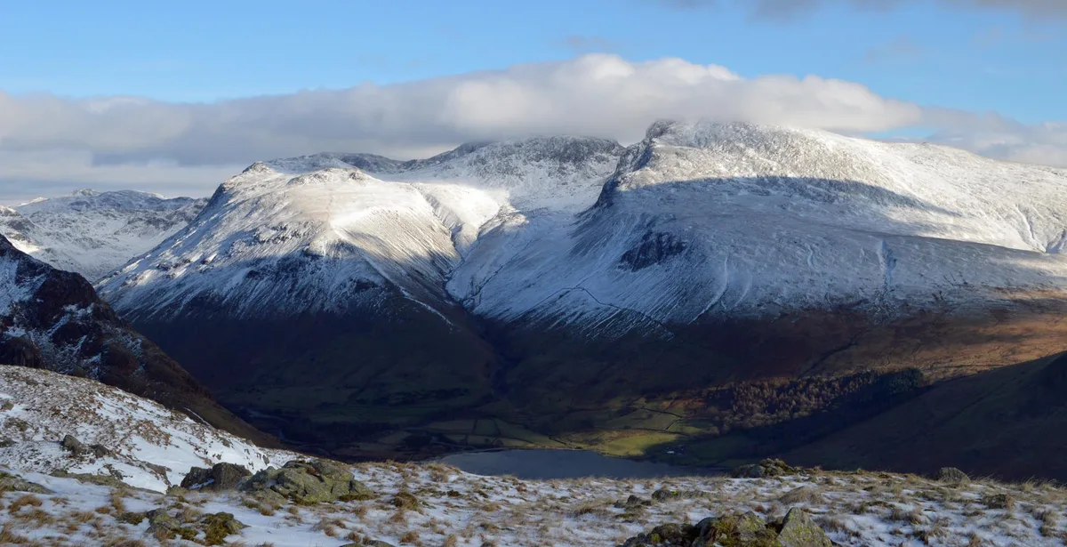
Joss Naylor Cairn
Joss Naylor Cairn is a memorial in the United Kingdom.
 📷 3
📷 3Nearby
📷 3Historic bridges · North West England
Bridge Over Whillan Beck To South West Of Corn Mill
Bridge Over Whillan Beck To South West Of Corn Mill — Grade II listed building-listed bridge in england-north-west, United Kingdom.
📷 3Watermills · North West England
Eskdale Corn Mill
Eskdale Corn Mill — Grade II* listed building-listed watermill in england-north-west, United Kingdom.
📷 3Museums · North West England
Eskdale Mill
Eskdale Mill — a museum in england-north-west, United Kingdom.
📷 5Campsites · North West England
Eskdale Campsite
Eskdale Campsite — a campsite in england north west.
📷 3Viewpoints · North West England
Nab Gill Iron Mine
Nab Gill Iron Mine is a viewpoint in the United Kingdom.
📷 3Memorials & monuments · North West England
Eskdale War Memorial
Eskdale War Memorial — Grade II listed building-listed memorial in england-north-west, United Kingdom.
Where to eat & stay near Boot
Places to stay
📷 5Campsites · North West England
Eskdale Campsite
Eskdale Campsite — a campsite in england north west.
 📷 5
📷 5Hostels · North West England
YHA Eskdale
YHA Eskdale — a hostel in england north west.
 📷 5
📷 5Campsites · North West England
Fisherground Campsite
Fisherground Campsite — a campsite in england north west.
 📷 5
📷 5Hostels · North West England
YHA Wasdale Hall
YHA Wasdale Hall — a hostel in england north west.
 📷 5
📷 5Campsites · North West England
The Barn Campsite
The Barn Campsite — a campsite in england north west.
 📷 5
📷 5Campsites · North West England
Church Stile Farm And Holiday Park
Church Stile Farm And Holiday Park — a campsite in england north west.
Places to eat & drink
 📷 5
📷 5Historic pubs · North West England
Blacksmiths Arms
Blacksmiths Arms in England North West, United Kingdom.
 📷 7
📷 7Historic pubs · North West England
Church House Public House
Church House Public House in England North West, United Kingdom.
 📷 5
📷 5Restaurants · North West England
The Terrace Coffee House and Restaurant
The Terrace Coffee House and Restaurant — a restaurant in england north west. Cuisine: sandwich;lunch.
 📷 7
📷 7Historic pubs · North West England
The Travellers Rest
The Travellers Rest in England North West, United Kingdom.
 📷 5
📷 5Historic pubs · North West England
Sun Cottage Sun Inn Public House
Sun Cottage Sun Inn Public House in England North West, United Kingdom.
 📷 7
📷 7Cafés · North West England
Grange Bridge Cottage
Grange Bridge Cottage — a café in england north east.
More towns in this region
 Flagship📷 3
Towns & cities · North West England
Manchester
Manchester — city in Greater Manchester, England.
 📷 3
📷 3Towns & cities · North West England
Alderley Edge
Alderley Edge — village and civil parish in Cheshire East, UK.
_-_geograph.org.uk_-_60497.jpg?width=1200) 📷 5
📷 5Towns & cities · North West England
Appleton Thorn
Appleton Thorn — village in Warrington, Cheshire, UK.
 📷 5
📷 5Towns & cities · North West England
Aston juxta Mondrum
Aston juxta Mondrum — village and civil parish in Cheshire East, England, UK.
Frequently asked questions
- Where is Boot?
- Boot is in North-West England, United Kingdom (postcode CA19), in the parish of Eskdale.
- What is Boot?
- Boot — village in Cumbria, England, UK.
- How do I get to Boot?
- The nearest railway station is Dalegarth, about 0.4 km away. Drivers can use postcode CA19.
- Is Boot free to visit?
- Yes, Boot is free to enter.
- How do I get to Boot?
- The nearest railway station is Dalegarth, about 0.4 km away. Drivers can navigate to postcode CA19.