Mountains & hills · North West England
Dalegarth How
Dalegarth How — mountain in england north west. Elevation: 121 m.

Mick Garratt — CC BY-SA 2.0 via Wikimedia Commons licence
Plan your visit
- Typical visit
- 3 h–8 h
- Best time of year
- Late spring – early autumn (May–Oct)
About
Dalegarth How is a mountain located in england north west. Elevation: 121 m. A named British peak recorded in OpenStreetMap. Peaks are typically named on Ordnance Survey 1:50k mapping.
Photo gallery
Place summary
Dalegarth How is a prominent mountain located in North-West England. It is part of the Lake District National Park, known for its rugged terrain and striking landscapes. The mountain offers various walking trails that cater to different skill levels, providing visitors with opportunities to explore the natural beauty of the area. The region is characterised by scenic views and diverse wildlife, making it a notable spot for outdoor enthusiasts.
AI-generated from the structured facts on this page (operator, designation, listing, era). Not a substitute for visiting.
- Coordinates
- 54.3922, -3.2622
Sources
- osm: n12601330095 (ODbL)
Other places nearby
Loading nearby places…
Nearby
📷 5Mountains & hills · North West England
Dalegarth How
Dalegarth How — a hill or mountain in england north west.
 📷 3
📷 3Archaeological sites · North West England
St Catherine's Well
St Catherine's Well — a archaeological in england-north-west, United Kingdom.
 📷 5
📷 5Waterfalls · North West England
Gill Force
Gill Force — waterfall in england north west.
 📷 5
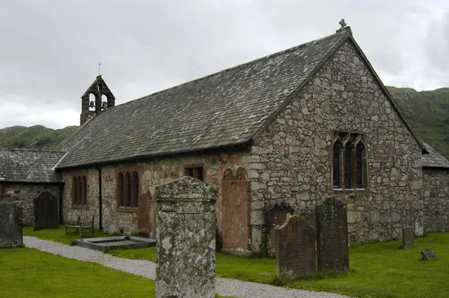
📷 5Historic churches · North West England
St Catherine's Church, Boot
St Catherine's Church, Boot — grade II listed church in Eskdale, Cumberland, Cumbria , England, UK.
 📷 5
📷 5Mountains & hills · North West England
Hodge How
Hodge How — mountain in england north west. Elevation: 101 m.
 📷 5
📷 5Mountains & hills · North West England
Gate Crag
Gate Crag — mountain in england north west. Elevation: 283 m.
Where to eat & stay near Dalegarth How
Places to stay
 📷 5
📷 5Campsites · North West England
Eskdale Campsite
Eskdale Campsite — a campsite in england north west.
 📷 5
📷 5Hostels · North West England
YHA Eskdale
YHA Eskdale — a hostel in england north west.
 📷 5
📷 5Campsites · North West England
Fisherground Campsite
Fisherground Campsite — a campsite in england north west.
 📷 5
📷 5Hostels · North West England
YHA Wasdale Hall
YHA Wasdale Hall — a hostel in england north west.
 📷 5
📷 5Campsites · North West England
The Barn Campsite
The Barn Campsite — a campsite in england north west.
 📷 5
📷 5Campsites · North West England
Turner Hall Farm Campsite
Turner Hall Farm Campsite — a campsite in england north west.
Places to eat & drink
 📷 5
📷 5Historic pubs · North West England
Blacksmiths Arms
Blacksmiths Arms in England North West, United Kingdom.
 📷 5
📷 5Historic pubs · North West England
Church House Public House
Church House Public House in England North West, United Kingdom.
 📷 5
📷 5Restaurants · North West England
The Terrace Coffee House and Restaurant
The Terrace Coffee House and Restaurant — a restaurant in england north west. Cuisine: sandwich;lunch.
 📷 5
📷 5Historic pubs · North West England
Sun Cottage Sun Inn Public House
Sun Cottage Sun Inn Public House in England North West, United Kingdom.
 📷 5
📷 5Historic pubs · North West England
The Travellers Rest
The Travellers Rest in England North West, United Kingdom.
 📷 5
📷 5Cafés · North East England
Grange Bridge Cottage
Grange Bridge Cottage — a café in england north east.
More mountains in this region
 📷 3
📷 3Mountains & hills · North West England
Allen Crags
Allen Crags — Named summit at 785 m.
 📷 3
📷 3Mountains & hills · North West England
Alum Pot
Alum Pot — Open shaft pothole in North Yorkshire.
 📷 3
📷 3Mountains & hills · North West England
Arnside Knott
Arnside Knott — Named summit at 159 m.
 📷 3
📷 3Mountains & hills · North West England
Aye Gill Pike
Aye Gill Pike — Named summit at 556.3 m.
Frequently asked questions
- Where is Dalegarth How?
- Dalegarth How is in North-West England, United Kingdom.
- What is Dalegarth How?
- Dalegarth How — mountain in england north west. Elevation: 121 m.
- How do I get to Dalegarth How?
- Its coordinates are 54.3922°, -3.2622°.