
Parks · West Midlands
Macclesfield Forest and Wildboarclough
In or near Quarnford.
Macclesfield Forest and Wildboarclough is a civil parish in the unitary authority of Cheshire East and the ceremonial county of Cheshire, England. It lies on the western fringe of the Peak District

Jonathan Clitheroe — CC BY-SA 2.0 via Wikimedia Commons licence

Plan your visit
- Typical visit
- 1 h–2 h
- Nearest railway station
- Macclesfield · 6.6 km
- Free entry
- Family-friendly
- Dog-friendly
Getting there & planning your visit
To visit Macclesfield Forest and Wildboarclough, the nearest railway station is Macclesfield, located 6.6 km away. The postcode for the area is SK11 0BE, and entry to the park is free.
About
Macclesfield Forest and Wildboarclough is a civil parish in the unitary authority of Cheshire East and the ceremonial county of Cheshire, England. It lies on the western fringe of the Peak District National park. The population of the civil parish taken at the 2011 Census was 189. The parish is small, so there is no parish council; instead, the residents hold a periodic Parish meeting. The area consists mainly of reservoirs, woodland, farmland, and moorland. There are no centres of population, only a few villages and hamlets, most notably Wildboarclough and Langley.
Photo gallery
Protected designations
- Site of Special Scientific Interest: Leek Moors SSSI
Designations sourced from Natural England open data under OGL v3.
From the Wikipedia article
Macclesfield Forest and Wildboarclough is a civil parish in the unitary authority of Cheshire East and the ceremonial county of Cheshire, England. It lies on the western fringe of the Peak District National park. The population of the civil parish taken at the 2011 Census was 189. The parish is small, so there is no parish council; instead, the residents hold a periodic Parish meeting. The area consists mainly of reservoirs, woodland, farmland, and moorland. There are no centres of population, only a few villages and hamlets, most notably Wildboarclough and Langley.
Excerpt from Wikipedia under CC BY-SA 4.0. See the source article linked in Sources below.
- Coordinates
- 53.2330, -2.0330
- District
- Cheshire East
- Parish
- Macclesfield Forest and Wildboarclough
- Postcode
- SK11 0BE
- Parliamentary constituency
- Macclesfield
- Nearest railway station
- Macclesfield — 6.6 km
Sources
- wikipedia: Macclesfield Forest and Wildboarclough (CC BY-SA 4.0)
Other places nearby
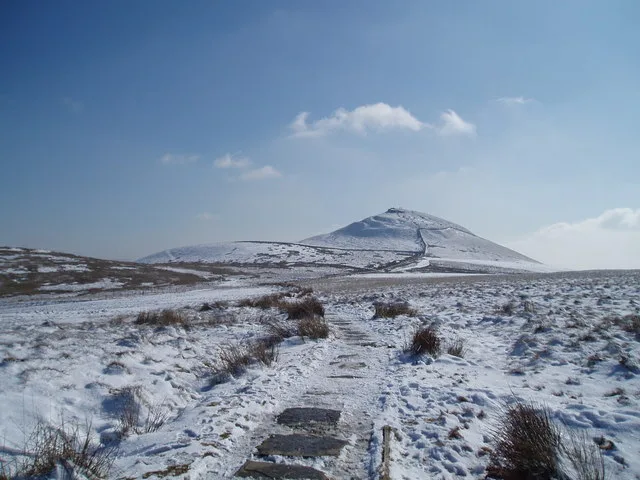
Shutlingsloe
Natural landmarks · 1.1 km
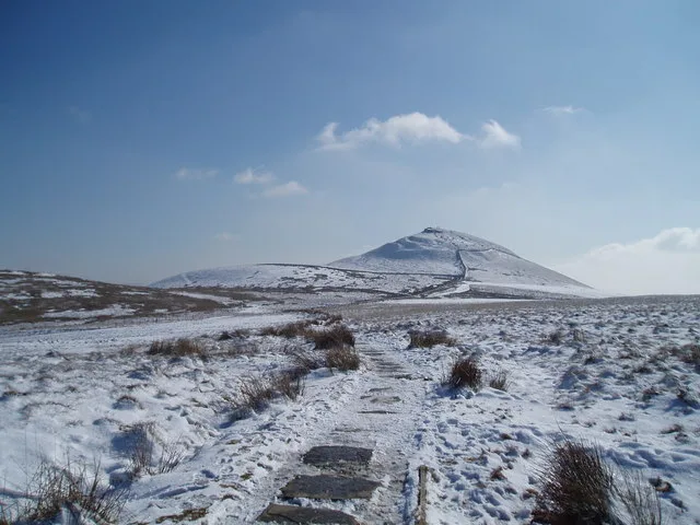
Shutlingsloe
Mountains & hills · 1.1 km

Forest Distillery
Distilleries · 1.4 km

Macclesfield Forest
National parks · 1.5 km

Forest Chapel
Historic churches · 1.5 km
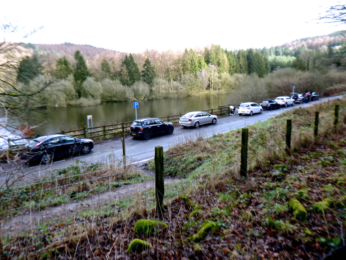
Trentabank Reservoir Nature Reserve
Wildlife reserves · 1.7 km

Trentabank Reservoir
Reservoirs & lochs · 1.8 km

Forest Bridleway
Mountain bike trails · 1.8 km
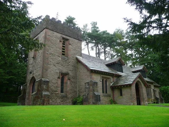
St Saviour's Church, Wildboarclough
Historic churches · 2.0 km

Grit and Gears II
Mountain bike trails · 2.2 km

Whetstone Ridge
Mountains & hills · 2.3 km

Whitehills
Mountains & hills · 2.3 km
Nearby
📷 3📷 3📷 3Distilleries · West Midlands
Forest Distillery
Forest Distillery — Whisky/spirit distillery.
📷 4National parks · North West England
Macclesfield Forest
Macclesfield Forest is an area of woodland, predominantly conifer plantation, around 3 miles (5 km) south east of Macclesfield in the civil parish of Macclesfield Forest and Wildboarclough, in Cheshir
📷 4Historic churches · West Midlands
Forest Chapel
Forest Chapel — grade II listed church in the parish of Macclesfield Forest and Wildboarclough, Cheshire East, Cheshire, England, UK.
📷 3Wildlife reserves · West Midlands
Trentabank Reservoir Nature Reserve
Trentabank Reservoir Nature Reserve — nature reserve in Macclesfield Forest, Cheshire.
Where to eat & stay near Macclesfield Forest and Wildboarclough
Places to stay
 📷 5
📷 5Campsites · West Midlands
Gradbach Scout Camp
Gradbach Scout Camp — a campsite in england west midlands.
📷 5📷 5 📷 5
📷 5Caravan parks · East Midlands
Buxton Caravan and Motorhome Club
Buxton Caravan and Motorhome Club — a caravan park in england east midlands.
 📷 5
📷 5Caravan parks · West Midlands
Stoneyfold Caravan Park
Stoneyfold Caravan Park — a caravan park in england west midlands.
 📷 5
📷 5Campsites · East Midlands
Cold Springs Farm Campsite
Cold Springs Farm Campsite — a campsite in england east midlands.
Places to eat & drink
 📷 5
📷 5Historic pubs · East Midlands
Cat and Fiddle Inn
Cat and Fiddle Inn in England South East, United Kingdom.
 📷 5
📷 5Restaurants · West Midlands
Sutton Hall
Sutton Hall — a restaurant in england west midlands.
 📷 5
📷 5Historic pubs · North West England
Lord Byron Public House
Lord Byron Public House in England North West, United Kingdom.
 📷 5
📷 5Historic pubs · North West England
The Castle, Macclesfield
The Castle, Macclesfield in England North West, United Kingdom.
 📷 5
📷 5Historic pubs · North West England
2 and 4, Market Place
2 and 4, Market Place in England North West, United Kingdom.
 📷 5
📷 5Historic pubs · North West England
Bate Hall Public House
Bate Hall Public House in England North West, United Kingdom.
More parks in this region
 📷 5
📷 5Parks · West Midlands
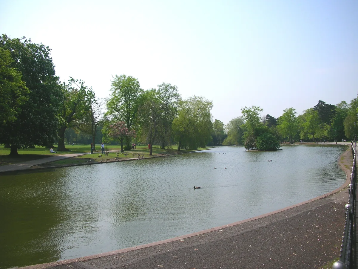
Cannon Hill Park
Cannon Hill Park — public park in Birmingham, West Midlands, England, UK.
 📷 5
📷 5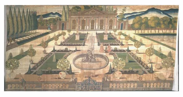 📷 3
📷 3Parks · West Midlands
Stoke Edith House
Stoke Edith House — country house in Stoke Edith, Herefordshire, England, UK.
 📷 4
📷 4Parks · West Midlands
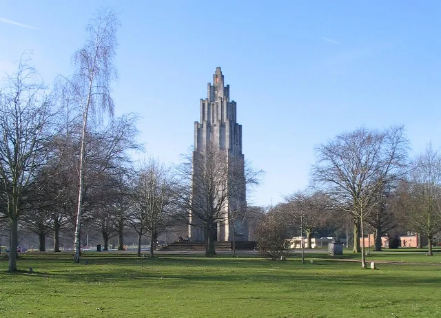
War Memorial Park
War Memorial Park is a park in the United Kingdom.
Frequently asked questions
- Where is Macclesfield Forest and Wildboarclough?
- Macclesfield Forest and Wildboarclough is in the West Midlands, United Kingdom (postcode SK11 0BE), in the parish of Macclesfield Forest and Wildboarclough.
- What is Macclesfield Forest and Wildboarclough?
- Macclesfield Forest and Wildboarclough is a civil parish in the unitary authority of Cheshire East and the ceremonial county of Cheshire, England. It lies on the western fringe of the Peak District
- How do I get to Macclesfield Forest and Wildboarclough?
- The nearest railway station is Macclesfield, about 6.6 km away. Drivers can use postcode SK11 0BE.
- Is Macclesfield Forest and Wildboarclough a protected site?
- Yes — Macclesfield Forest and Wildboarclough is part of the Leek Moors SSSI Site of Special Scientific Interest.
- Is Macclesfield Forest and Wildboarclough free to visit?
- Yes, Macclesfield Forest and Wildboarclough is free to enter.
- How do I get to Macclesfield Forest and Wildboarclough?
- The nearest railway station is Macclesfield, about 6.6 km away. Drivers can navigate to postcode SK11 0BE.