
Parks · West Midlands
Gheluvelt Park
In or near Worcester.
Gheluvelt Park — park in Worcester, England, UK.

Wikimedia Commons contributors — see linked file page for photographer and licence licence

Plan your visit
- Typical visit
- 1 h–2 h
- Nearest railway station
- Worcester Foregate Street · 1.4 km
- Free entry
- Family-friendly
- Dog-friendly
Getting there & planning your visit
Gheluvelt Park is located in Worcester, Worcestershire, with the postcode WR3 7AA. The nearest railway station is Worcester Foregate Street, which is 1.4 km away. Entry to the park is free.
About
Gheluvelt Park is a public park in the United Kingdom. It covers approximately 4 km². Heritage designation: Grade II listed park and garden. Named after Geluveld. Wikidata describes it as: "park in Worcester, England, UK". Coordinates: 52.2066°, -2.2283°.
Photo gallery
Heritage listing
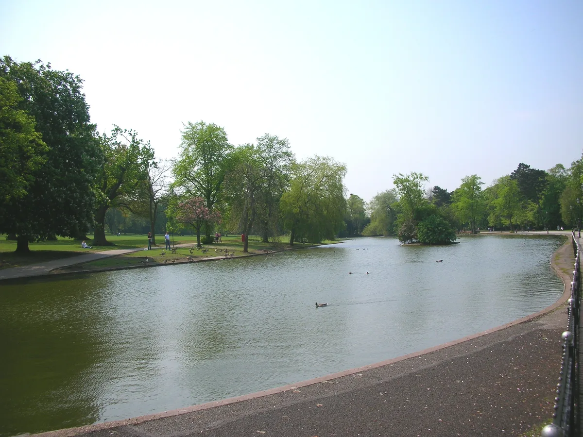
Gheluvelt Park is a public park in Worcester, England, which opened on 17 June 1922 to commemorate the Worcestershire Regiment's 2nd Battalion after their part in Battle of Gheluvelt, a World War I battle that took place on 31 October 1914 in Gheluvelt (near Ypres), Belgium. It was opened by Field Marshal John French, 1st Earl of Ypres, who stated, "on that day the 2nd Worcesters saved the British Empire." A plaque inside the park commemorates Captain Gerald Ernest Lea, who died on 15 September 1914 while commanding D. Company of the 2nd Battalion. The park is located in Worcester, along the A449 (Barbourne Road) and stretches across to the River Severn. The Barbourne Brook, which leads to the Severn, feeds a duck pond within which is a bandstand.
From the Historic England List Entry under OGL v3.
Protected designations
- Site of Special Scientific Interest: River Teme SSSI
Designations sourced from Natural England open data under OGL v3.
From the Wikipedia article
Gheluvelt Park is a public park in Worcester, England, which opened on 17 June 1922 to commemorate the Worcestershire Regiment's 2nd Battalion after their part in Battle of Gheluvelt, a World War I battle that took place on 31 October 1914 in Gheluvelt (near Ypres), Belgium. It was opened by Field Marshal John French, 1st Earl of Ypres, who stated, "on that day the 2nd Worcesters saved the British Empire." A plaque inside the park commemorates Captain Gerald Ernest Lea, who died on 15 September 1914 while commanding D. Company of the 2nd Battalion. The park is located in Worcester, along the A449 (Barbourne Road) and stretches across to the River Severn. The Barbourne Brook, which leads to the Severn, feeds a duck pond within which is a bandstand. The park contains a children's play area and a supervised paddling pool. A conservation site is managed by the Duckworth Worcestershire Trust and, following renovations to the old Victorian Pump House, the Environment Centre provides information about environmental issues as well as sustainability. The Friends of Gheluvelt Park organisation helps maintain the parks and organise events such as Carols in the Park and a St George's Day celebration. A significant area of the park, including the children's play area, was flooded by the Severn and the Barbourne Brook during the 2007 United Kingdom floods in July. Gheluvelt Park has received £850,000 from the Heritage Lottery Fund, in order to improve the park. A new play area has been created, a Splash Pad built for toddlers to early teens, the railings have been reinstated along Barbourne Road, and the bandstand has been renovated. Recently, a sculpture costing £33,000 was installed, to symbolise the fallen soldiers, and a funding application has been submitted for outdoor fitness equipment for adults, (2011), including six exercise units and also two concrete table tennis tables. Funding applications have also been made to host a community "Fitness event" in Autumn 2011.
Excerpt from Wikipedia under CC BY-SA 4.0. See the source article linked in Sources below.
- Coordinates
- 52.2066, -2.2283
- County
- Worcestershire
- District
- Worcester
- Parish
- Worcester, unparished area
- Postcode
- WR3 7AA
- Parliamentary constituency
- Worcester
- Nearest railway station
- Worcester Foregate Street — 1.4 km
Sources
- wikidata: Q15221612 (CC0)
- wikipedia: Gheluvelt Park, Worcester (CC BY-SA 4.0)
- commons: War memorial in Gheluvelt Park - geograph.org.uk - 4313226.jpg (CC BY-SA 4.0)
Featured in this guide
Other places nearby

Gheluvelt Park Band Stand, Worcester
Memorials & monuments · 0.1 km

Nos. 1-12 Gheluvelt Park, Worcester
Memorials & monuments · 0.1 km

Gheluvelt Park Arch, Gates And Railings
Memorials & monuments · 0.1 km

Louise Draper
Memorials & monuments · 0.3 km

War memorial in the churchyard of St Stephen's Church
Memorials & monuments · 0.4 km

35 The Lane
Natural landmarks · 0.4 km

The Alice Ottley School
Natural landmarks · 0.7 km

Northwick Cinema
Theatres · 0.8 km

RGS Springfield
Natural landmarks · 0.8 km

Swan Theatre Studio
Theatres · 1.1 km
Swan Theatre
Theatres · 1.1 km

Worcestershire Yeomanry Cavalry Museum
Museums · 1.2 km
Nearby
📷 3Memorials & monuments · West Midlands
Gheluvelt Park Band Stand, Worcester
Gheluvelt Park Band Stand, Worcester — Grade II listed building-listed memorial in england-west-midlands, United Kingdom.
📷 3Memorials & monuments · West Midlands
Nos. 1-12 Gheluvelt Park, Worcester
Nos. 1-12 Gheluvelt Park, Worcester — Grade II listed building-listed memorial in england-west-midlands, United Kingdom.
📷 3Memorials & monuments · West Midlands
Gheluvelt Park Arch, Gates And Railings
Gheluvelt Park Arch, Gates And Railings — Grade II listed building-listed memorial in england-west-midlands, United Kingdom.
📷 3Memorials & monuments · West Midlands
Louise Draper
Louise Draper — a memorial in england-west-midlands, United Kingdom.
📷 3Memorials & monuments · West Midlands
War memorial in the churchyard of St Stephen's Church
War memorial in the churchyard of St Stephen's Church — Grade II listed building-listed memorial in england-west-midlands, United Kingdom.
📷 3Natural landmarks · West Midlands
35 The Lane
35 The Lane — a other in england-west-midlands, United Kingdom.
Where to eat & stay near Gheluvelt Park
Places to stay
 📷 7
📷 7Hotels · West Midlands
Severn View Hotel
Severn View Hotel — a hotel in england west midlands.
 📷 7
📷 7Hotels · West Midlands
Fownes Hotel
Fownes Hotel — a hotel in england west midlands.
 📷 5
📷 5Hotels · West Midlands
Diglis House Hotel
Diglis House Hotel — a hotel in england west midlands.
 📷 3
📷 3Caravan parks · West Midlands
Peachley Leisure Touring Park
Peachley Leisure Touring Park — a caravan park in england west midlands.
 📷 5
📷 5Caravan parks · West Midlands
The Ketch Caravan Park and Mooring
The Ketch Caravan Park and Mooring — a caravan park in england west midlands.
 📷 5
📷 5Hotels · West Midlands
Stanbrook Abbey
Stanbrook Abbey — a hotel in england west midlands.
Places to eat & drink
 📷 5
📷 5Historic pubs · West Midlands
Slug and Lettuce
Slug and Lettuce — Historic pub — listed building or notable heritage status.
 📷 5
📷 5 📷 3
📷 3Historic pubs · West Midlands
King Charles House
King Charles House — Historic pub — listed building or notable heritage status.
 📷 5
📷 5 📷 5
📷 5Restaurants · West Midlands
Timberdine
Timberdine — a restaurant in england west midlands. Cuisine: american. Brand: Harvester.
 📷 7
📷 7Historic pubs · West Midlands
The Talbot Public House
The Talbot Public House in England West Midlands, United Kingdom.
More parks in this region
 📷 5
📷 5Parks · West Midlands
Cannon Hill Park
Cannon Hill Park — public park in Birmingham, West Midlands, England, UK.
 📷 3
📷 3Parks · West Midlands
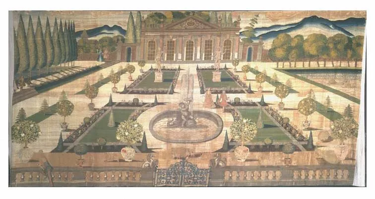
Stoke Edith House
Stoke Edith House — country house in Stoke Edith, Herefordshire, England, UK.
 📷 4
📷 4Parks · West Midlands
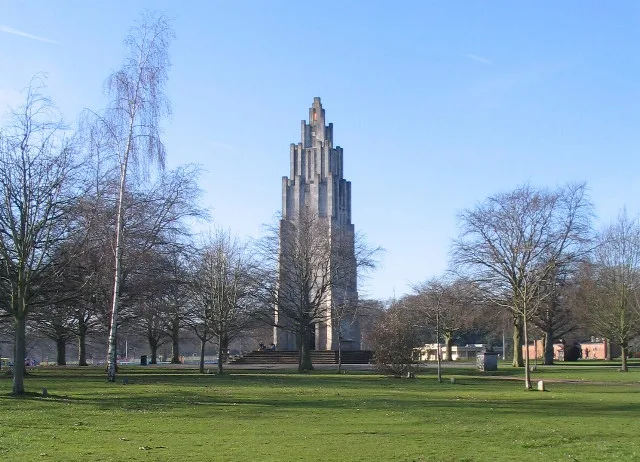
War Memorial Park
War Memorial Park is a park in the United Kingdom.
 📷 3
📷 3Parks · West Midlands
Abbey Fields
Abbey Fields — park in Kenilworth, England.
Frequently asked questions
- Where is Gheluvelt Park?
- Gheluvelt Park is in Worcestershire, the West Midlands, United Kingdom (postcode WR3 7AA), in the parish of Worcester, unparished area.
- What is Gheluvelt Park?
- Gheluvelt Park — park in Worcester, England, UK.
- How do I get to Gheluvelt Park?
- The nearest railway station is Worcester Foregate Street, about 1.4 km away. The nearest town is Worcester. Drivers can use postcode WR3 7AA.
- Is Gheluvelt Park a listed building?
- Gheluvelt Park is officially recognised as Grade II listed park and garden listed.
- Is Gheluvelt Park a protected site?
- Yes — Gheluvelt Park is part of the River Teme SSSI Site of Special Scientific Interest.
- Is Gheluvelt Park free to visit?
- Yes, Gheluvelt Park is free to enter.
- How do I get to Gheluvelt Park?
- The nearest railway station is Worcester Foregate Street, about 1.4 km away. Drivers can navigate to postcode WR3 7AA.