
Historic churches · West Midlands
St Saviour's Church, Wildboarclough
In or near Quarnford.
St Saviour's Church, Wildboarclough — grade II listed church in Wildboarclough, Cheshire East, England, UK.

Wikimedia Commons contributors — see linked file page for photographer and licence licence

Plan your visit
- Typical visit
- 30 min–1 h
- Nearest railway station
- Macclesfield · 8.1 km
- Free entry
Getting there & planning your visit
To visit St Saviour's Church in Wildboarclough, the nearest railway station is Macclesfield, located 8.1 km away. The postcode for sat-nav is SK11 0BD, and entry to the church is free.
About
St Saviour's Church, Wildboarclough is a historic church in the United Kingdom. Records date its origin to 1909. Built in the Gothic Revival style. Heritage designation: Grade II listed building. Affiliated with Anglicanism. Wikidata describes it as: "grade II listed church in Wildboarclough, Cheshire East, England, UK". Coordinates: 53.2161°, -2.0246°.
Photo gallery
Heritage listing
St Saviour's Church is in the village of Wildboarclough, Cheshire, England. It is an active Anglican parish church in the deanery of Macclesfield, the archdeaconry of Macclesfield, and the diocese of Chester. Its benefice is combined with those of St Mary the Virgin, Bosley, St Michael, North Rode, and St Michael, Wincle. The church is recorded in the National Heritage List for England as a designated Grade II listed building.
From the Historic England List Entry under OGL v3.
Official information
St Saviour's Church in Wildboarclough is a welcoming place for visitors. It offers a serene environment for reflection and worship, with regular services and community events.
Protected designations
- Site of Special Scientific Interest: Leek Moors SSSI
Designations sourced from Natural England open data under OGL v3.
From the Wikipedia article
St Saviour's Church is in the village of Wildboarclough, Cheshire, England. It is an active Anglican parish church in the deanery of Macclesfield, the archdeaconry of Macclesfield, and the diocese of Chester. Its benefice is combined with those of St Mary the Virgin, Bosley, St Michael, North Rode, and St Michael, Wincle. The church is recorded in the National Heritage List for England as a designated Grade II listed building.
Excerpt from Wikipedia under CC BY-SA 4.0. See the source article linked in Sources below.
Background
History
The church was built between 1901 and 1909 for the 16th Earl of Derby to celebrate the safe return of his sons from the Boer War. The foundation stone was laid by the Countess of Derby on 14 September 1901, and the church was consecrated in 1909.
Architecture
St Saviour's is constructed in red sandstone rubble with ashlar dressings and Kerridge stone-slate roofs. Its plan consists of a four-bay nave with a south porch, a single-bay chancel with a north vestry, and a west tower. The tower is in two stages, and is battlemented. The east window consists of three lancets. Elsewhere there are square-headed mullioned windows. In the south-facing roof are two three-light gabled dormers. Inside the church is an oak dado, above which the walls are plastered. The fixtures and fittings in the church include an ornate early 20th century stone font, with stiff-leaf capitals, and a wooden font cover with the Lamb of God as a finial. The authors of the…
Sourced from Wikipedia under CC BY-SA 4.0.
- Coordinates
- 53.2161, -2.0246
- District
- Cheshire East
- Parish
- Macclesfield Forest and Wildboarclough
- Postcode
- SK11 0BD
- Parliamentary constituency
- Macclesfield
- Phone
- 07881723003
- Established
- 1909
- Nearest railway station
- Macclesfield — 8.1 km
- Official site
- www.achurchnearyou.com
Sources
- wikidata: Q7595442 (CC0)
- wikipedia: St Saviour's Church, Wildboarclough (CC BY-SA 4.0)
- commons: St. Saviour's church, Wildboarclough - geograph.org.uk - 977326.jpg (CC BY-SA 4.0)
Other places nearby
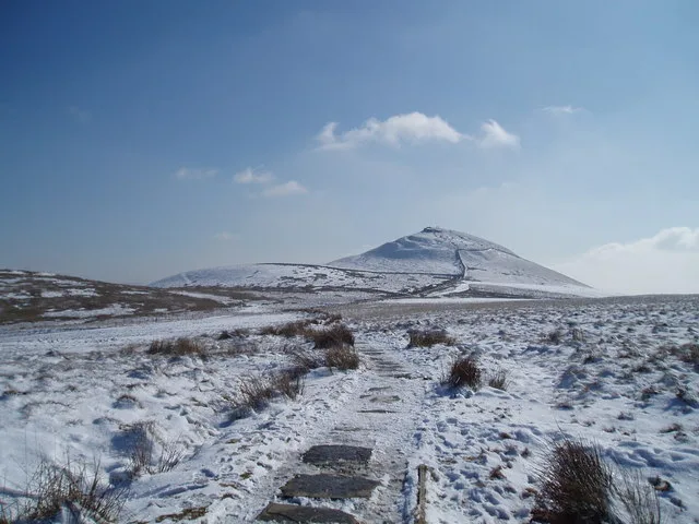
Shutlingsloe
Natural landmarks · 1.1 km
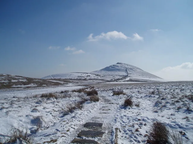
Shutlingsloe
Mountains & hills · 1.1 km

Birchenough Hill
Mountains & hills · 1.2 km
Birchenough Hill
Mountains & hills · 1.2 km

Macclesfield Forest and Wildboarclough
Parks · 2.0 km

Allgreave Bridge
Historic bridges · 2.2 km

Whetstone Ridge
Mountains & hills · 2.7 km

Roy - a Faithful Friend
Memorials & monuments · 2.7 km
_-_geograph.org.uk_-_1518946.jpg?width=1200)
Danebower Colliery ventilation chimney
Memorials & monuments · 2.7 km

Gradbach Scout Camp
Campsites · 3.0 km
The Farmhouse
Hostels · 3.0 km
The Cottage
Hostels · 3.0 km
Nearby
📷 3📷 3📷 5Mountains & hills · West Midlands
Birchenough Hill
Birchenough Hill — mountain in england west midlands. Elevation: 459 m.
📷 5Mountains & hills · West Midlands
Birchenough Hill
Birchenough Hill — a hill or mountain in england west midlands.
📷 5Parks · West Midlands
Macclesfield Forest and Wildboarclough
Macclesfield Forest and Wildboarclough is a civil parish in the unitary authority of Cheshire East and the ceremonial county of Cheshire, England. It lies on the western fringe of the Peak District
📷 3Historic bridges · West Midlands
Allgreave Bridge
Allgreave Bridge — Grade II listed building-listed bridge in england-west-midlands, United Kingdom.
Where to eat & stay near St Saviour's Church, Wildboarclough
Places to stay
📷 5Campsites · West Midlands
Gradbach Scout Camp
Gradbach Scout Camp — a campsite in england west midlands.
📷 5📷 5 📷 5
📷 5Caravan parks · West Midlands
Stoneyfold Caravan Park
Stoneyfold Caravan Park — a caravan park in england west midlands.
 📷 5
📷 5Caravan parks · East Midlands
Buxton Caravan and Motorhome Club
Buxton Caravan and Motorhome Club — a caravan park in england east midlands.
 📷 5
📷 5Caravan parks · West Midlands
Lapwing Hall Farm
Lapwing Hall Farm — a caravan park in england west midlands.
Places to eat & drink
 📷 5
📷 5Historic pubs · East Midlands
Cat and Fiddle Inn
Cat and Fiddle Inn in England South East, United Kingdom.
 📷 5
📷 5Restaurants · West Midlands
Sutton Hall
Sutton Hall — a restaurant in england west midlands.
 📷 5
📷 5Historic pubs · North West England
Lord Byron Public House
Lord Byron Public House in England North West, United Kingdom.
 📷 5
📷 5Historic pubs · North West England
The Castle, Macclesfield
The Castle, Macclesfield in England North West, United Kingdom.
 📷 5
📷 5Historic pubs · West Midlands
Ye Olde Rock Inn
Ye Olde Rock Inn in England West Midlands, United Kingdom.
 📷 5
📷 5Historic pubs · North West England
2 and 4, Market Place
2 and 4, Market Place in England North West, United Kingdom.
Other places from this era
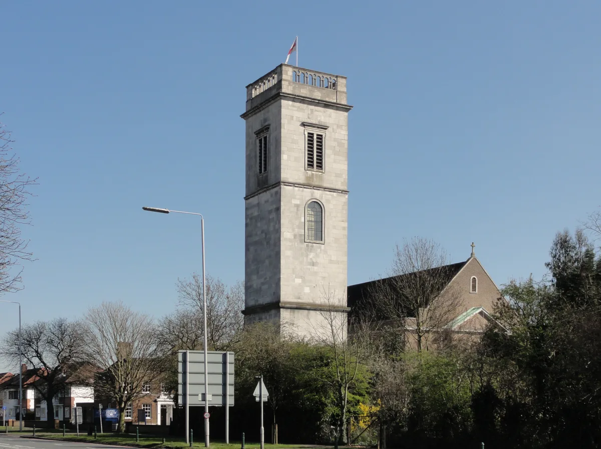 📷 5
📷 5Historic churches · London
All Hallows Twickenham
All Hallows Twickenham — church in London Borough of Richmond upon Thames, UK.
 📷 5
📷 5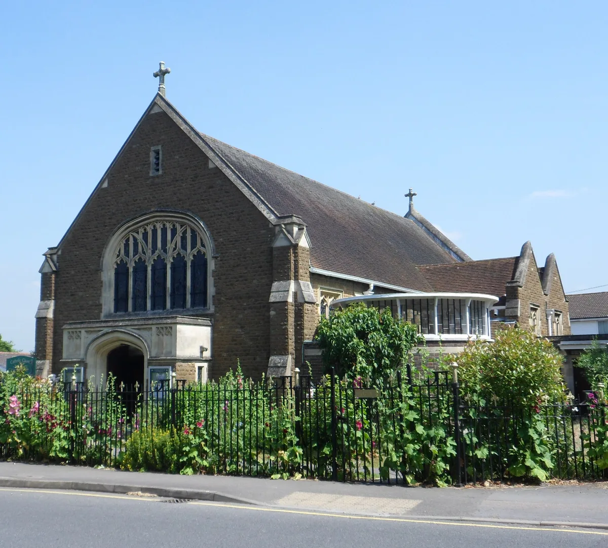 📷 5
📷 5Historic churches · London
Church of Our Lady and St Peter, Leatherhead
Church of Our Lady and St Peter, Leatherhead — church in United Kingdom.
 📷 5
📷 5Historic churches · London
First Church of Christ, Scientist, Richmond
First Church of Christ, Scientist, Richmond — church in London Borough of Richmond upon Thames, UK.
More places in this region
 📷 3
📷 3Historic churches · West Midlands
Church of All Saints
Church of All Saints — Grade I listed church in King's Bromley, Staffordshire, England, UK.
 📷 3
📷 3Historic churches · West Midlands
Church of St Leonard, Blithfield
Church of St Leonard, Blithfield — Grade I listed church, Blithfield, United Kingdom.
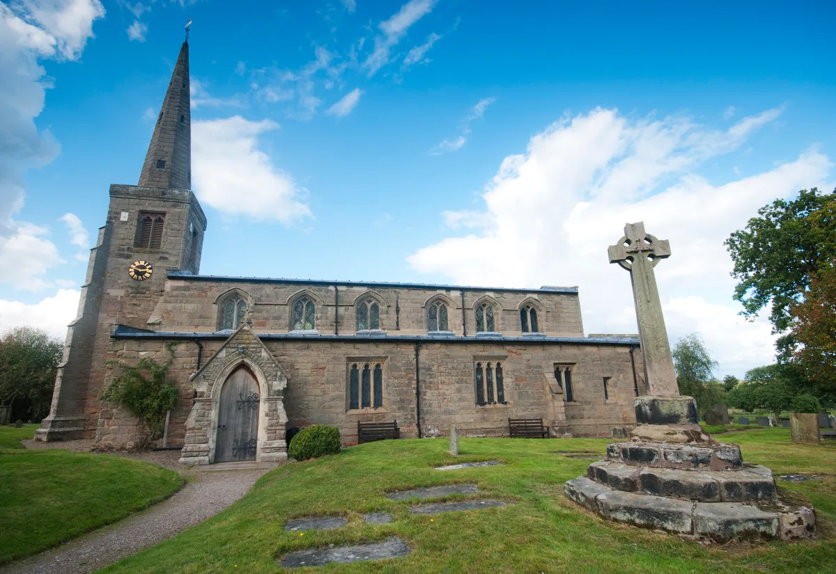 📷 3
📷 3Historic churches · West Midlands
Church of St Michael and All Angels, Hamstall Ridware
Church of St Michael and All Angels, Hamstall Ridware — church in Hamstall Ridware, Staffordshire, England, UK.
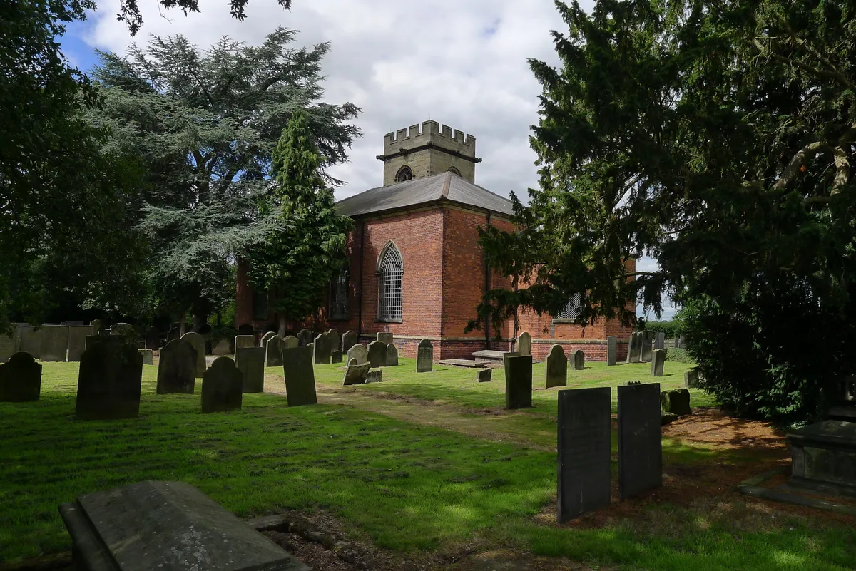 📷 5
📷 5Historic churches · West Midlands
Church of St Nicholas, Mavesyn Ridware
Church of St Nicholas, Mavesyn Ridware — church in Mavesyn Ridware, Staffordshire, England, UK.
Frequently asked questions
- Where is St Saviour's Church, Wildboarclough?
- St Saviour's Church, Wildboarclough is in the West Midlands, United Kingdom (postcode SK11 0BD), in the parish of Macclesfield Forest and Wildboarclough.
- What is St Saviour's Church, Wildboarclough?
- St Saviour's Church, Wildboarclough — grade II listed church in Wildboarclough, Cheshire East, England, UK.
- How do I get to St Saviour's Church, Wildboarclough?
- The nearest railway station is Macclesfield, about 8.1 km away. Drivers can use postcode SK11 0BD.
- When was St Saviour's Church, Wildboarclough built?
- Built or established in 1909.
- Is St Saviour's Church, Wildboarclough a listed building?
- St Saviour's Church, Wildboarclough is officially recognised as Grade II listed building listed.
- Is St Saviour's Church, Wildboarclough a protected site?
- Yes — St Saviour's Church, Wildboarclough is part of the Leek Moors SSSI Site of Special Scientific Interest.
- Is St Saviour's Church, Wildboarclough free to visit?
- Yes, St Saviour's Church, Wildboarclough is free to enter.
- How do I get to St Saviour's Church, Wildboarclough?
- Drivers can navigate to postcode SK11 0BD. It sits within the Macclesfield parliamentary constituency.