
Hostels · West Midlands
The Cottage
In or near Quarnford.
The Cottage — a hostel in england west midlands.

Philip Cornwall — CC BY-SA 2.0 via Wikimedia Commons licence

Plan your visit
- Typical visit
- 1 h–2 h
- Nearest railway station
- Hunthouse Wood · 7.8 km
About
The Cottage is a hostel located in West Midlands. Hostel listed with verified location and OSM metadata. Most British hostels offer dorm beds and private rooms; check current availability before arriving.
Photo gallery
Protected designations
- Site of Special Scientific Interest: Leek Moors SSSI
Designations sourced from Natural England open data under OGL v3.
Place summary
The Cottage is a hostel located in the West Midlands. It offers budget accommodation suitable for travellers and groups. Visitors can expect basic amenities in a communal setting, making it a practical choice for those exploring the region. The hostel's location provides access to local attractions and transport links.
AI-generated from the structured facts on this page (operator, designation, listing, era). Not a substitute for visiting.
- Coordinates
- 53.1903, -2.0098
- County
- Staffordshire
- District
- Staffordshire Moorlands
- Parish
- Quarnford
- Postcode
- SK17 0SU
- Parliamentary constituency
- Staffordshire Moorlands
- Nearest railway station
- Hunthouse Wood — 7.8 km
Sources
- osm: w158243643 (ODbL)
Other places nearby
The Farmhouse
Hostels · 0.1 km
Gradbach Scout Camp
Campsites · 0.1 km
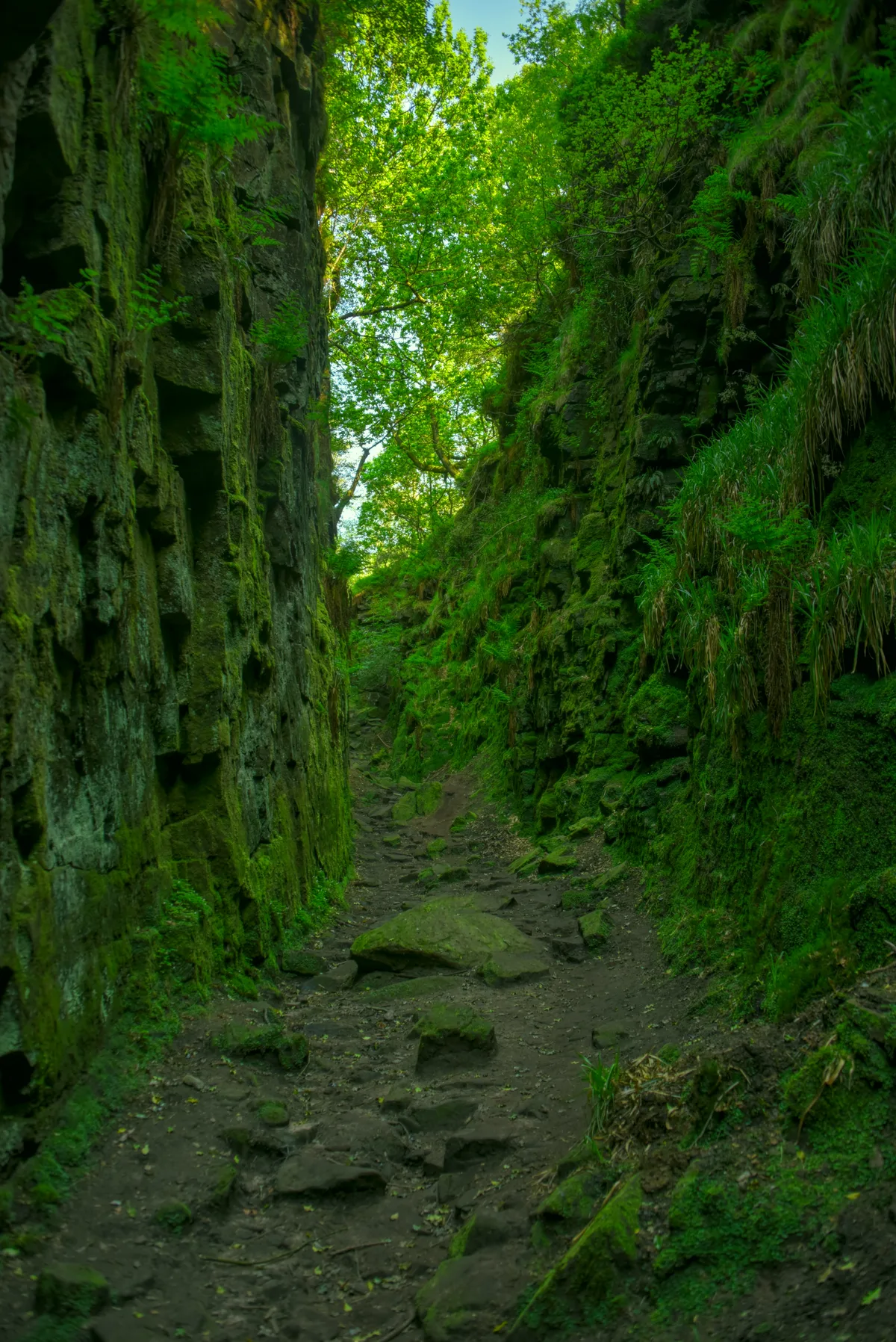
Lud's Church
Mountains & hills · 0.8 km

Gradbach Hill
Mountains & hills · 0.9 km
Gradbach Hill
Mountains & hills · 0.9 km

Back Forest Edge
Climbing & bouldering crags · 1.0 km

Birchenough Hill
Mountains & hills · 2.0 km
Birchenough Hill
Mountains & hills · 2.0 km
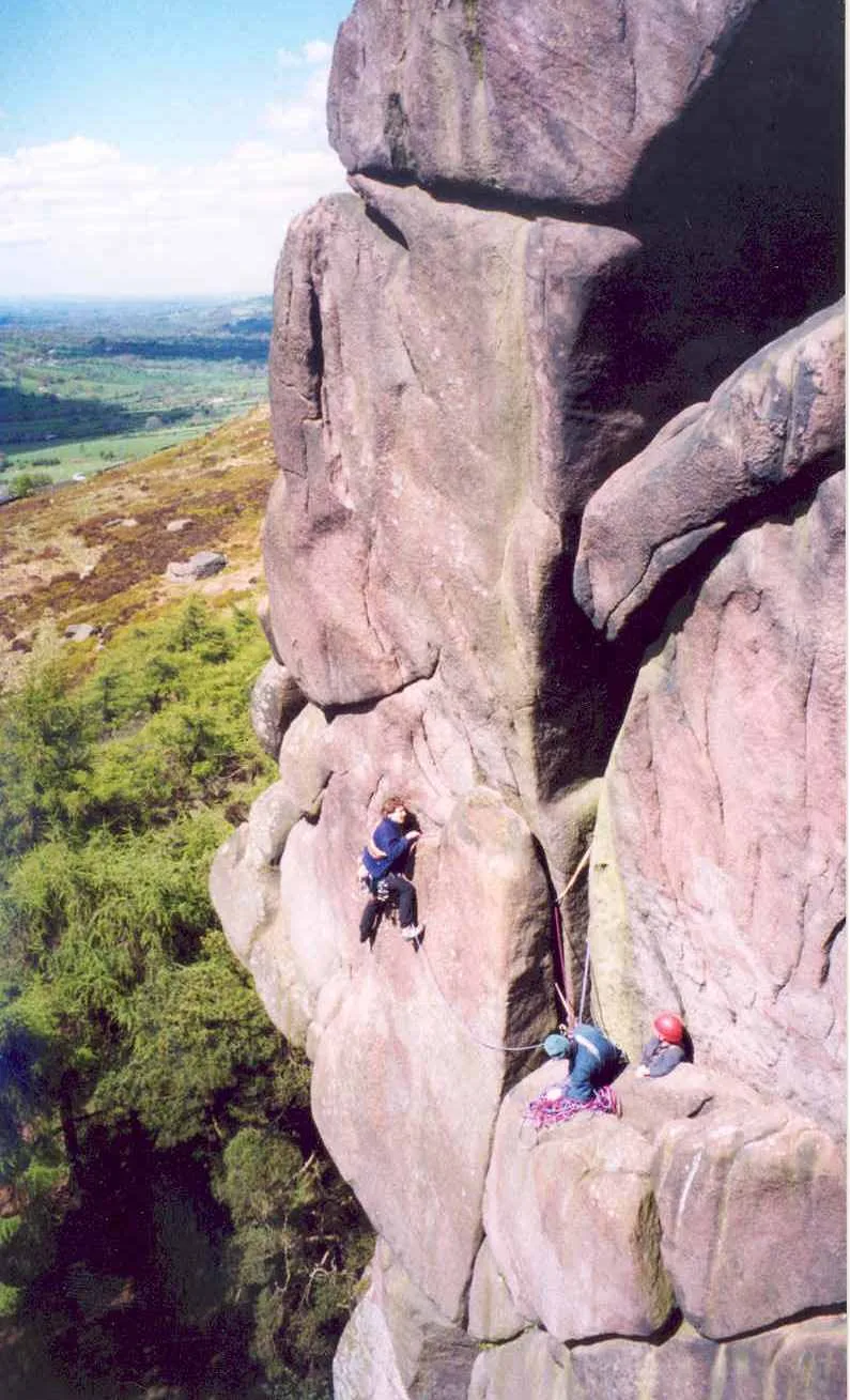
The Roaches
Mountains & hills · 2.1 km

Swythamley Hall
Historic houses · 2.5 km

Allgreave Bridge
Historic bridges · 2.7 km

Gib Torr Rocks
Natural landmarks · 2.8 km
Nearby
📷 5📷 5Campsites · North West England
Gradbach Scout Camp
Gradbach Scout Camp — a campsite in england west midlands.
📷 3Mountains & hills · North West England
Lud's Church
Lud's Church — deep chasm on the hillside above Gradbach, Staffordshire, England.
📷 5Mountains & hills · West Midlands
Gradbach Hill
Gradbach Hill — mountain in england west midlands. Elevation: 399 m.
📷 5Mountains & hills · West Midlands
Gradbach Hill
Gradbach Hill — a hill or mountain in england west midlands.
📷 5Climbing & bouldering crags · West Midlands
Back Forest Edge
Back Forest Edge — a climbing crag in england west midlands.
Where to eat & stay near The Cottage
Places to stay
📷 5📷 5Campsites · North West England
Gradbach Scout Camp
Gradbach Scout Camp — a campsite in england west midlands.
 📷 5
Caravan parks · West Midlands
Lapwing Hall Farm
Lapwing Hall Farm — a caravan park in england west midlands.
 📷 5
Hostels · West Midlands
Roaches Bunkhouse
Roaches Bunkhouse — a hostel in england east midlands.
 📷 5
Campsites · West Midlands
Camping at The Hollies
Camping at The Hollies — a campsite in england east midlands.
📷 5Caravan parks · West Midlands
Blackshaw Moor Caravan Site
Blackshaw Moor Caravan Site — a caravan park in england east midlands.
Places to eat & drink
 📷 5
Historic pubs · West Midlands
Ye Olde Rock Inn
Ye Olde Rock Inn in England West Midlands, United Kingdom.
 📷 5
Historic pubs · North West England
Cat and Fiddle Inn
Cat and Fiddle Inn in England South East, United Kingdom.
 📷 5
Restaurants · North West England
Sutton Hall
Sutton Hall — a restaurant in england west midlands.
 📷 7
Historic pubs · West Midlands
Green Dragon, Leek
Green Dragon, Leek in England North West, United Kingdom.
 📷 5
Historic pubs · West Midlands
Bird In Hand Public House
Bird In Hand Public House in England North West, United Kingdom.
 📷 5
Historic pubs · West Midlands
The Quiet Woman Public House
The Quiet Woman Public House in England North West, United Kingdom.
More places in this region
 📷 5
 📷 5
Hostels · West Midlands
Nab End YHA Camping Barn
Nab End YHA Camping Barn — a hostel in england east midlands.
 📷 5
Hostels · West Midlands
Ilam Hall Youth Hostel
Ilam Hall Youth Hostel — a hostel in england east midlands.
 📷 5
Frequently asked questions
- Where is The Cottage?
- The Cottage is in Staffordshire, the West Midlands, United Kingdom (postcode SK17 0SU), in the parish of Quarnford.
- What is The Cottage?
- The Cottage — a hostel in england west midlands.
- How do I get to The Cottage?
- The nearest railway station is Hunthouse Wood, about 7.8 km away. The nearest town is Quarnford. Drivers can use postcode SK17 0SU.
- Is The Cottage a protected site?
- Yes — The Cottage is part of the Leek Moors SSSI Site of Special Scientific Interest.
- How do I get to The Cottage?
- The nearest railway station is Hunthouse Wood, about 7.8 km away. Drivers can navigate to postcode SK17 0SU.