
Long-distance walking trails · North West England
Coast to Coast Walk
In or near Orton.
Wainwright's 192-mile route from the Lake District to North York Moors coast.

Richard Webb — CC BY-SA 2.0 via Wikimedia Commons licence

Plan your visit
- Typical visit
- 1 h–2 h
- Nearest railway station
- Warcop · 8.5 km
- Free entry
- Dog-friendly
Getting there & planning your visit
The Coast to Coast Walk is located in Westmorland and Furness, with the nearest railway station being Warcop, which is 8.5 km away. Entry to the walk is free, and there are no specific accessibility details provided. The postcode for the area is CA16 6HB.
About
Alfred Wainwright's Coast to Coast Walk is the 192-mile route from St Bees on the Cumbrian coast to Robin Hood's Bay on the North Yorkshire coast — devised by Wainwright in 1973 across the Lake District, Yorkshire Dales and North York Moors. Becoming a National Trail in 2025; one of the most popular long-distance walks in Britain.
Photo gallery
Protected designations
- Site of Special Scientific Interest: River Eden and Tributaries SSSI
- Area of Outstanding Natural Beauty: North Pennines
Designations sourced from Natural England open data under OGL v3.
From the Wikipedia article
The Coast to Coast Walk is a long-distance footpath running between the west and east coasts of Northern England, nominally 190 miles (306 km) in length. Devised by Alfred Wainwright, it passes through three contrasting national parks: the Lake District, the Yorkshire Dales, and the North York Moors. The currently measured distance is reported as 182 miles (293 km). Wainwright recommends that walkers dip their booted feet in the Irish Sea at St Bees and, at the end of the walk, in the North Sea at Robin Hood's Bay. The route has traditionally been an unofficial and largely unsignposted trail. On 12 August 2022 it was announced that the Coast to Coast Walk would become an official National Trail, following a campaign by the Wainwright Society (the designated Responsible Organisation for the trail) and Rishi Sunak, MP for Richmond and Northallerton. Work commenced to upgrade the route, and it was officially opened as a National Trail in March 2026, at a length of 190 miles (306 km). It has been referred to as the Coast to Coast Path National Trail on the National Trails website since February 2026, and has also been called the Wainwright Way.
Excerpt from Wikipedia under CC BY-SA 4.0. See the source article linked in Sources below.
Background
History
The Coast to Coast was originally described by Alfred Wainwright in his 1973 book A Coast to Coast Walk. Wainwright's book has since been revised a number of times in recent years (most recently in 2003) with updates to the recommended route. Wainwright's book describes the route in 12 stages, each of which ends at a settlement with at least some overnight accommodation nearby. If one stage is walked per day, with one or two rest days, the route makes a two-week holiday, and web logs of coast-to-coasters seem to indicate that this is the most common way of walking the route. However, Wainwright explicitly states that he did not intend people to necessarily stick to these daily stages, or…
Sourced from Wikipedia under CC BY-SA 4.0.
- Coordinates
- 54.5000, -2.5000
- District
- Westmorland and Furness
- Parish
- Asby
- Postcode
- CA16 6HB
- Parliamentary constituency
- Westmorland and Lonsdale
- Nearest railway station
- Warcop — 8.5 km
Sources
- manual: coast-to-coast-walk (manual)
- wikipedia: Coast to Coast Walk (CC BY-SA 4.0)
Featured in these 3 guides
Other places nearby
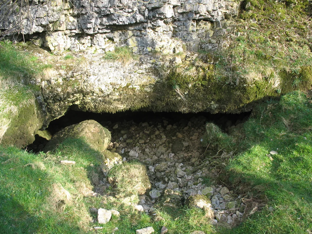
Pate Hole
Mountains & hills · 0.4 km

Romano-British enclosed hut circle settlement
Archaeological sites · 0.9 km

Romano-British enclosed hut circle settlement
Archaeological sites · 0.9 km

Great Asby
Historic churches · 1.3 km

Asby
Other places · 1.6 km

Turkeytarn Hill
Mountains & hills · 1.7 km

Great Asby
Villages · 1.7 km

Grange Scar
Mountains & hills · 2.1 km

Drybeck
Historic churches · 2.1 km
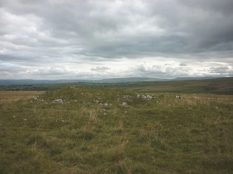
Hollin Stump round cairn
Archaeological sites · 2.5 km

Linglow Hill
Mountains & hills · 2.5 km

High Pike
Mountains & hills · 2.6 km
Nearby
📷 3Mountains & hills · North East England
Pate Hole
Pate Hole is a mountain or hill in the United Kingdom.
📷 3Archaeological sites · North West England
Romano-British enclosed hut circle settlement
Romano-British enclosed hut circle settlement — a archaeological in england-north-west, United Kingdom.
📷 5Archaeological sites · North West England
Romano-British enclosed hut circle settlement
Romano-British enclosed hut circle settlement — archaeological in england north west.
📷 4Historic churches · North East England
Great Asby
Great Asby in England North East, United Kingdom.
📷 4📷 5Mountains & hills · North East England
Turkeytarn Hill
Turkeytarn Hill — mountain in england north east. Elevation: 245.3 m.
Where to eat & stay near Coast to Coast Walk
Places to stay
 📷 5
📷 5Caravan parks · North West England
Chapel Farm Caravan Park
Chapel Farm Caravan Park — a caravan park in england north west.
 📷 5
📷 5 📷 5
📷 5Caravan parks · North East England
Wild Rose Caravan Site
Wild Rose Caravan Site — a caravan park in england north east.
 📷 5
📷 5 📷 5
📷 5Caravan parks · North East England
Midtown Farm Camping & Caravan Site
Midtown Farm Camping & Caravan Site — a caravan park in england north east.
 📷 5
📷 5Campsites · North West England
Low Greenside Farm Campsite
Low Greenside Farm Campsite — a campsite in england north west.
Places to eat & drink
 📷 5
📷 5Historic pubs · North East England
1, Scattergate
1, Scattergate in England North East, United Kingdom.
 📷 7
📷 7Cafés · North West England
The White Hare Cafe
The White Hare Cafe — a café in england north west.
 📷 5
📷 5Cafés · North West England
The Cross Keys Temperance Inn
The Cross Keys Temperance Inn — a café in england north west.
 📷 5
📷 5Cafés · North West England
Gun Dog Coffee Shop
Gun Dog Coffee Shop — a café in england north west.
 📷 5
📷 5 📷 7
📷 7Historic pubs · North West England
Two Lions public house and integral stables
Two Lions public house and integral stables in Scotland Lowlands, United Kingdom.
Other places from this era
 Flagship📷 10
Long-distance walking trails · South East England
Thames Path
184-mile National Trail along the Thames from source to the Barrier.
 📷 5
📷 5Long-distance walking trails · South East England
North Downs Way
153-mile chalk escarpment trail from Farnham to Dover.
 Flagship📷 10
Long-distance walking trails · South East England
South Downs Way
100-mile chalk-ridge trail across the South Downs National Park.
 ★ Iconic📷 4
Long-distance walking trails · South West England
Cotswold Way
102-mile National Trail along the Cotswold escarpment from Chipping Campden to Bath.
More places in this region
 📷 3
📷 3Long-distance walking trails · North West England
Woolpack walk
The Woolpack Walk is a challenge walk which starts and finishes at Woolpack Inn, Eskdale, in the Lake District of England. The route covers 30 km (18.6 mi) and takes in 2,040 m (6,693 ft) of ascent.
Frequently asked questions
- Where is Coast to Coast Walk?
- Coast to Coast Walk is in North-West England, United Kingdom (postcode CA16 6HB), in the parish of Asby.
- What is Coast to Coast Walk?
- Wainwright's 192-mile route from the Lake District to North York Moors coast.
- How do I get to Coast to Coast Walk?
- The nearest railway station is Warcop, about 8.5 km away. Drivers can use postcode CA16 6HB.
- When was Coast to Coast Walk built?
- Dates from the modern period.
- Is Coast to Coast Walk a protected site?
- Yes — Coast to Coast Walk is part of the River Eden and Tributaries SSSI Site of Special Scientific Interest and the North Pennines National Landscape (AONB).
- Is Coast to Coast Walk free to visit?
- Yes, Coast to Coast Walk is free to enter.
- How do I get to Coast to Coast Walk?
- Drivers can navigate to postcode CA16 6HB. It sits within the Westmorland and Lonsdale parliamentary constituency.