
Archaeological sites · North West England
Romano-British enclosed hut circle settlement
In or near Orton.
Romano-British enclosed hut circle settlement — a archaeological in england-north-west, United Kingdom.

David Brown — CC BY-SA 2.0 via Wikimedia Commons licence

Plan your visit
- Typical visit
- 45 min–1.5 h
- Nearest railway station
- Warcop · 9.3 km
- Free entry
- Dog-friendly
About
Romano-British enclosed hut circle settlement is a archaeological located in england-north-west, United Kingdom. Sourced from OpenStreetMap (ODbL licence); see local listings for visitor information, opening hours and admission details.
Photo gallery
Protected designations
- Site of Special Scientific Interest: River Eden and Tributaries SSSI
- Area of Outstanding Natural Beauty: North Pennines
Designations sourced from Natural England open data under OGL v3.
Place summary
The Romano-British enclosed hut circle settlement is an archaeological site located in North-West England. This settlement features circular huts indicative of Roman influence on local habitation practices. Its significance lies in its representation of domestic life during the Romano-British period.
AI-generated from the structured facts on this page (operator, designation, listing, era). Not a substitute for visiting.
- Coordinates
- 54.4930, -2.5067
- District
- Westmorland and Furness
- Parish
- Asby
- Postcode
- CA16 6HE
- Parliamentary constituency
- Westmorland and Lonsdale
- Nearest railway station
- Warcop — 9.3 km
Sources
- osm: node/434338674 (ODbL)
Other places nearby

Romano-British enclosed hut circle settlement
Archaeological sites · 0.0 km

Coast to Coast Walk
Long-distance walking trails · 0.9 km
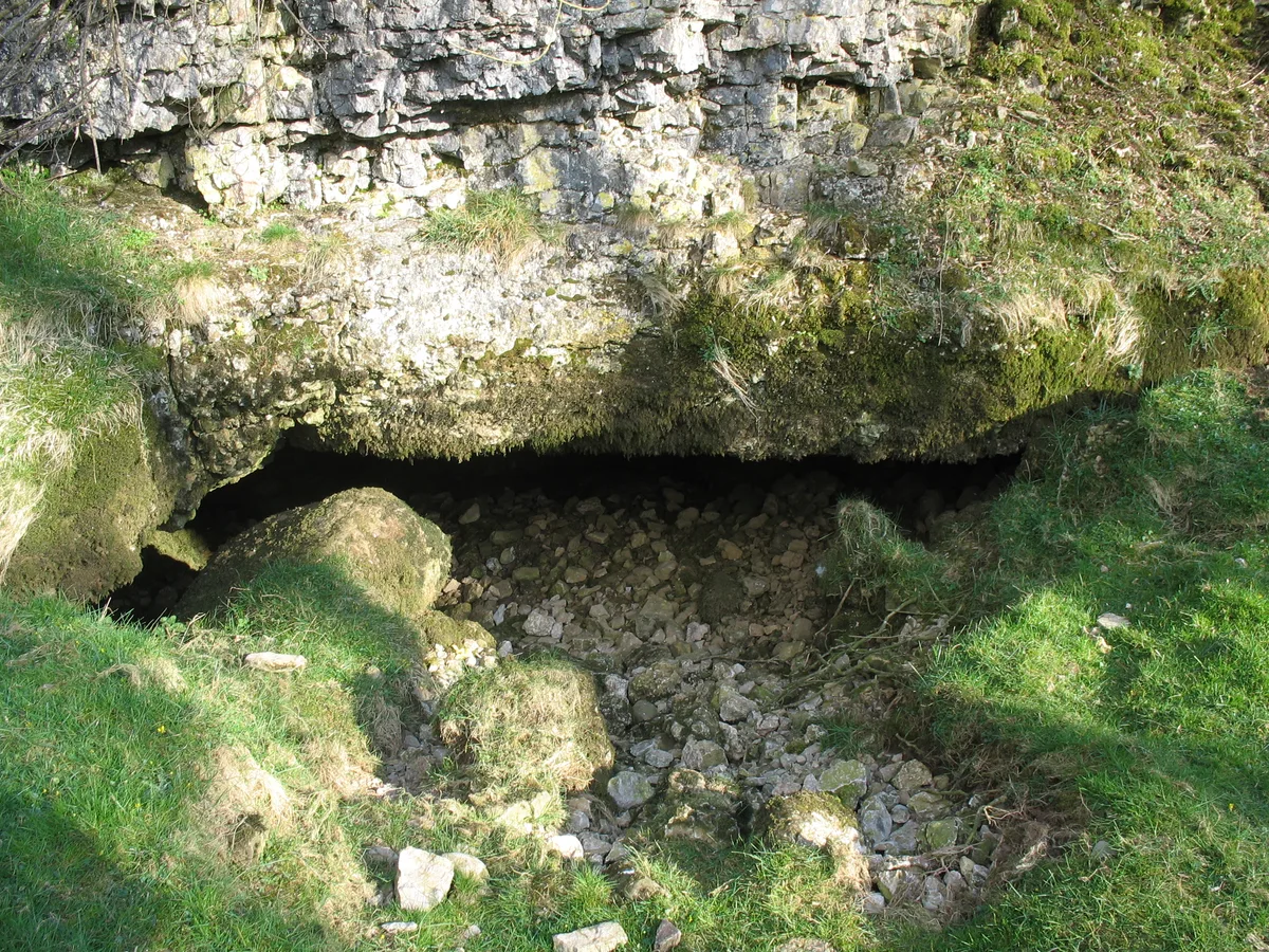
Pate Hole
Mountains & hills · 1.3 km

Grange Scar
Mountains & hills · 1.3 km

High Pike
Mountains & hills · 1.7 km

Great Asby Scar National Nature Reserve
Forests & woodlands · 1.9 km
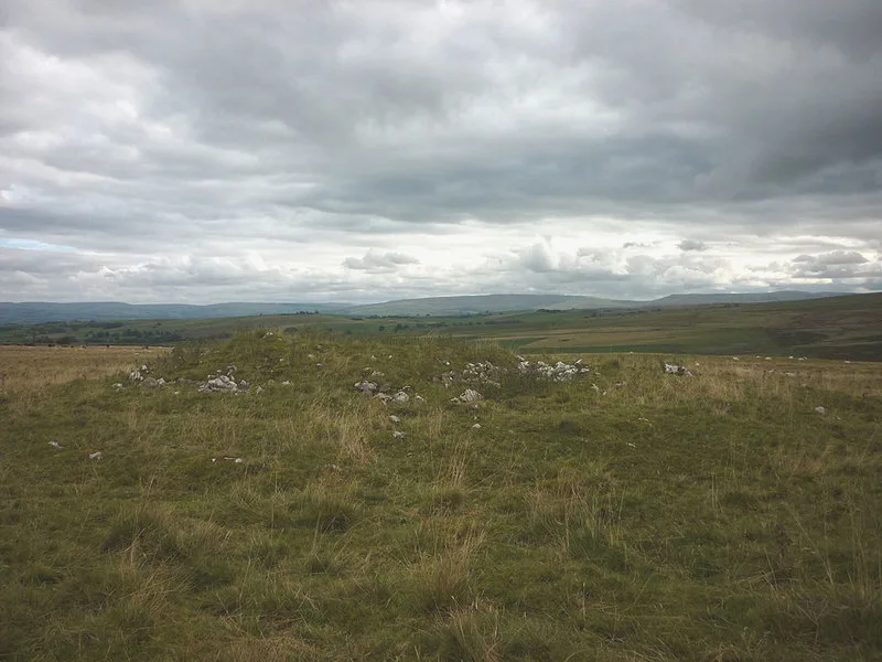
Hollin Stump round cairn
Archaeological sites · 2.2 km

Great Asby
Historic churches · 2.2 km

Linglow Hill
Mountains & hills · 2.3 km

Asby
Other places · 2.4 km

Turkeytarn Hill
Mountains & hills · 2.5 km

Great Asby
Villages · 2.6 km
Nearby
📷 5Archaeological sites · North West England
Romano-British enclosed hut circle settlement
Romano-British enclosed hut circle settlement — archaeological in england north west.
★ Iconic📷 4Long-distance walking trails · North West England
Coast to Coast Walk
Wainwright's 192-mile route from the Lake District to North York Moors coast.
📷 3Mountains & hills · North East England
Pate Hole
Pate Hole is a mountain or hill in the United Kingdom.
📷 5Mountains & hills · North West England
Grange Scar
Grange Scar — mountain in england north west. Elevation: 387.1 m.
📷 5Mountains & hills · North West England
High Pike
High Pike — mountain in england north west. Elevation: 371.9 m.
📷 3Forests & woodlands · North West England
Great Asby Scar National Nature Reserve
Great Asby Scar National Nature Reserve is a forest or woodland in the United Kingdom.
Where to eat & stay near Romano-British enclosed hut circle settlement
Places to stay
 📷 5
📷 5Caravan parks · North West England
Chapel Farm Caravan Park
Chapel Farm Caravan Park — a caravan park in england north west.
 📷 5
📷 5 📷 5
📷 5 📷 5
📷 5Caravan parks · North East England
Wild Rose Caravan Site
Wild Rose Caravan Site — a caravan park in england north east.
 📷 5
📷 5Caravan parks · North East England
Midtown Farm Camping & Caravan Site
Midtown Farm Camping & Caravan Site — a caravan park in england north east.
 📷 5
📷 5Campsites · North West England
Low Greenside Farm Campsite
Low Greenside Farm Campsite — a campsite in england north west.
Places to eat & drink
 📷 5
📷 5Historic pubs · North East England
1, Scattergate
1, Scattergate in England North East, United Kingdom.
 📷 7
📷 7Cafés · North West England
The White Hare Cafe
The White Hare Cafe — a café in england north west.
 📷 5
📷 5Cafés · North West England
The Cross Keys Temperance Inn
The Cross Keys Temperance Inn — a café in england north west.
 📷 5
📷 5Cafés · North West England
Gun Dog Coffee Shop
Gun Dog Coffee Shop — a café in england north west.
 📷 5
📷 5 📷 7
📷 7Historic pubs · North West England
Two Lions public house and integral stables
Two Lions public house and integral stables in Scotland Lowlands, United Kingdom.
More archaeological sites in this region
 📷 3
📷 3Archaeological sites · North West England
Early medieval sculptural fragments in St Mary's churchyard
Early medieval sculptural fragments in St Mary's churchyard — archaeological site in Sandbach, Cheshire East, England, UK.
 📷 3
📷 3Archaeological sites · North West England
Gaddum's Wood
Gaddum's Wood is a archaeological site in the United Kingdom.
 📷 3
📷 3Archaeological sites · North West England
Marton moated monastic grange, three fishponds, connecting channels and base of stone cross
Marton moated monastic grange, three fishponds, connecting channels and base of stone cross — archaeological site in Whitegate and Marton, Cheshire West and Chester, England, UK.
 📷 3
📷 3Archaeological sites · North West England
St Oswalds Well
St Oswalds Well — a archaeological in england-west-midlands, United Kingdom.
Frequently asked questions
- Where is Romano-British enclosed hut circle settlement?
- Romano-British enclosed hut circle settlement is in North-West England, United Kingdom (postcode CA16 6HE), in the parish of Asby.
- What is Romano-British enclosed hut circle settlement?
- Romano-British enclosed hut circle settlement — a archaeological in england-north-west, United Kingdom.
- How do I get to Romano-British enclosed hut circle settlement?
- The nearest railway station is Warcop, about 9.3 km away. Drivers can use postcode CA16 6HE.
- Is Romano-British enclosed hut circle settlement a protected site?
- Yes — Romano-British enclosed hut circle settlement is part of the River Eden and Tributaries SSSI Site of Special Scientific Interest and the North Pennines National Landscape (AONB).
- Is Romano-British enclosed hut circle settlement free to visit?
- Yes, Romano-British enclosed hut circle settlement is free to enter.
- How do I get to Romano-British enclosed hut circle settlement?
- Drivers can navigate to postcode CA16 6HE. It sits within the Westmorland and Lonsdale parliamentary constituency.