Archaeological sites · North West England
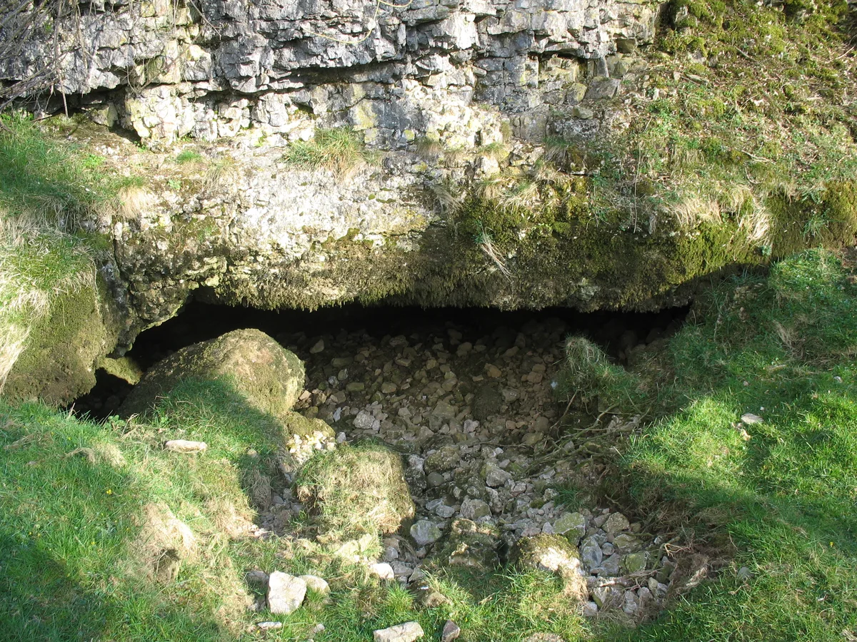
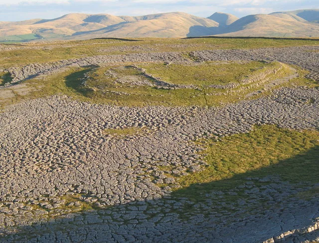
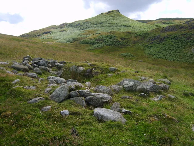
Romano-British enclosed hut circle settlement
Romano-British enclosed hut circle settlement — archaeological in england north west.

John H Darch — CC BY-SA 2.0 via Wikimedia Commons licence
Plan your visit
- Typical visit
- 45 min–1.5 h
About
Romano-British enclosed hut circle settlement is a archaeological located in england north west. A British archaeological site recorded in OpenStreetMap with at least one heritage quality signal (Wikidata link, Wikipedia article or designated operator).
Photo gallery
Place summary
The Romano-British enclosed hut circle settlement is an archaeological site located in North-West England. This settlement features a series of circular structures that date back to the Romano-British period. It provides insight into the domestic architecture and lifestyle of the inhabitants during this era. The site is significant for its historical context and contributes to the understanding of early settlements in Britain.
AI-generated from the structured facts on this page (operator, designation, listing, era). Not a substitute for visiting.
- Coordinates
- 54.4930, -2.5067
Sources
- osm: n434338674 (ODbL)
- wikidata: Q17651075 (CC0)
Other places nearby
Loading nearby places…
Nearby
 📷 3
📷 3Archaeological sites · North West England
Romano-British enclosed hut circle settlement
Romano-British enclosed hut circle settlement — a archaeological in england-north-west, United Kingdom.
 ★ Iconic📷 4
Long-distance walking trails · North West England
Coast to Coast Walk
Wainwright's 192-mile route from the Lake District to North York Moors coast.
 📷 3
📷 3Mountains & hills · North East England
Pate Hole
Pate Hole is a mountain or hill in the United Kingdom.
 📷 5
📷 5Mountains & hills · North West England
Grange Scar
Grange Scar — mountain in england north west. Elevation: 387.1 m.
 📷 5
📷 5Mountains & hills · North West England
High Pike
High Pike — mountain in england north west. Elevation: 371.9 m.
 📷 3
📷 3Forests & woodlands · North West England
Great Asby Scar National Nature Reserve
Great Asby Scar National Nature Reserve is a forest or woodland in the United Kingdom.
More archaeological sites in this region
 📷 3
📷 3Archaeological sites · North West England
Castle Folds Romano-British defended stone hut circle settlement and medieval shieling
Castle Folds Romano-British defended stone hut circle settlement and medieval shieling — Romano-British walled settlement in Asby, Westmorland and Furness, Cumbria, England, UK.
 📷 3
📷 3Archaeological sites · North West England
Chapel Hill Motte, Arkholme
Chapel Hill Motte, Arkholme — archaeological site in Arkholme-with-Cawood, Lancaster, England, UK.
 📷 3
📷 3Archaeological sites · North West England
Dike, circles and cairns on Bleaberry Haws
Dike, circles and cairns on Bleaberry Haws — Scheduled Monument in the parish of Torver, Cumbria, England, UK.
 📷 3
📷 3Archaeological sites · North West England
Fother Royd Wood
Fother Royd Wood is a archaeological site in the United Kingdom.
Frequently asked questions
- Where is Romano-British enclosed hut circle settlement?
- Romano-British enclosed hut circle settlement is in North-West England, United Kingdom.
- What is Romano-British enclosed hut circle settlement?
- Romano-British enclosed hut circle settlement — archaeological in england north west.
- How do I get to Romano-British enclosed hut circle settlement?
- Its coordinates are 54.4930°, -2.5067°.