
Hill forts · South East England
Shornemead Fort
In or near Cobham.
Shornemead Fort — fort in Shorne, Kent, England, UK.

Wikimedia Commons contributors — see linked file page for photographer and licence licence

Plan your visit
- Typical visit
- 1 h–2 h
- Nearest railway station
- Higham · 3.1 km
- Free entry
- Dog-friendly
Getting there & planning your visit
To visit Shornemead Fort, the nearest railway station is Higham, located 3.1 km away. The postcode for sat-nav is DA12 3HU. Entry to the fort is free.
About
Shornemead Fort is a hill fort in the United Kingdom. Heritage designation: scheduled monument. Managed by Royal Society for the Protection of Birds. Part of Chatham Palmerston Forts. Wikidata describes it as: "fort in Shorne, Kent, England, UK". Coordinates: 51.4465°, 0.4342°.
Photo gallery
Protected designations
- Site of Special Scientific Interest: South Thames Estuary and Marshes SSSI
- Ramsar wetland: Thames Estuary & Marshes
Designations sourced from Natural England open data under OGL v3.
From the Wikipedia article
Shornemead Fort is a now-disused artillery fort that was built in the 1860s to guard the entrance to the Thames from seaborne attack. Constructed during a period of tension with France, it stands on the south bank of the river at a point where the Thames curves sharply north and west, giving the fort long views up and downriver in both directions. It was the third fort constructed on the site since the 18th century, but its location on marshy ground led to major problems with subsidence. The fort was equipped for a time with a variety of large-calibre artillery guns which were intended to support two other nearby Thamesside forts. However, the extent of the subsidence meant that it became unsafe for the guns to be fired and the fort was disarmed by the early 20th century. Shornemead Fort was in use from its completion in 1870 to its abandonment in the 1950s. Much of it was demolished by the Army Demolition School of the Royal Engineers in the 1960s. The barracks and administrative buildings have been completely destroyed and only the front of the casemates survives along with the magazines underneath, though the latter are now flooded and inaccessible. The surviving fragments of the fort and the area around it are part of a nature reserve and can be visited by the public.
Excerpt from Wikipedia under CC BY-SA 4.0. See the source article linked in Sources below.
Background
Architecture
The third and final iteration of Shornemead Fort was constructed between 1861 and 1870 at an estimated cost of £211,063. It was substantially larger than its predecessor, replacing the vulnerable open emplacements with immensely strong casemates capable of resisting direct artillery fire. They were over 635 mm thick, with layers of steel and wood faced with granite. The original plans envisaged the roof of the fort being used to emplace fourteen guns behind shields and a masonry parapet. Two pivot guns and twenty other guns would be housed at ground level within casemates. However, subsidence caused by the marshy ground was again a problem for the fort builders. The design could not be…
Sourced from Wikipedia under CC BY-SA 4.0.
- Coordinates
- 51.4465, 0.4342
- County
- Kent
- District
- Gravesham
- Parish
- Shorne
- Postcode
- DA12 3HU
- Parliamentary constituency
- Gravesham
- Established
- 1861
- Nearest railway station
- Higham — 3.1 km
Sources
- wikidata: Q12068985 (CC0)
- wikipedia: Shornemead Fort (CC BY-SA 4.0)
- commons: Shornemead Fort exterior view 2.jpg (CC BY-SA 4.0)
Other places nearby

Barrow Hill
Mountains & hills · 1.8 km

Coalhouse Fort
Museums · 2.1 km

Coalhouse Fort
Forts · 2.1 km
East Tilbury
Museums · 2.2 km

Hans Egede
Museums · 2.2 km

Cliffe Fort
Forts · 2.4 km

St Mary's Church, Higham
Historic churches · 2.4 km

Marine Sand Unloading Pier
Piers · 2.4 km

Abbey
Abbeys & priories · 2.5 km

Bata Cinema
Theatres · 2.7 km

PLA Jetty
Piers · 2.7 km

Thames View Camping
Campsites · 3.0 km
Nearby
📷 5Mountains & hills · South East England
Barrow Hill
Barrow Hill — mountain in england london. Elevation: 5 m.
📷 5Museums · East of England
Coalhouse Fort
Coalhouse Fort is an artillery fort in the eastern English county of Essex. It was built in the 1860s to guard the lower Thames from seaborne attack. It stands at Coalhouse Point on the north bank of
📷 5📷 5Museums · East of England
East Tilbury
East Tilbury is a community in the borough of Thurrock in Essex, England. The community is in two main parts, being the older village near the banks of the River Thames, and a garden village to the no
📷 5📷 5Where to eat & stay near Shornemead Fort
Places to stay
📷 5Campsites · East of England
Thames View Camping
Thames View Camping — a campsite in england london.
 📷 5
📷 5Campsites · East of England
Condovers Scout Activity Centre
Condovers Scout Activity Centre — a campsite in england london.
 📷 5
📷 5 📷 7
📷 7 📷 5
📷 5B&Bs · South East England
Jessamine House
Jessamine House — a bed-and-breakfast in england london.
 📷 5
📷 5Places to eat & drink
 📷 7
📷 7Historic pubs · South East England
Crown & Thistle
Crown & Thistle in England South East, United Kingdom.
 📷 7
📷 7Historic pubs · South East England
Sir John Falstaff Public House
Sir John Falstaff Public House in England South East, United Kingdom.
 📷 7
📷 7Historic pubs · South East England
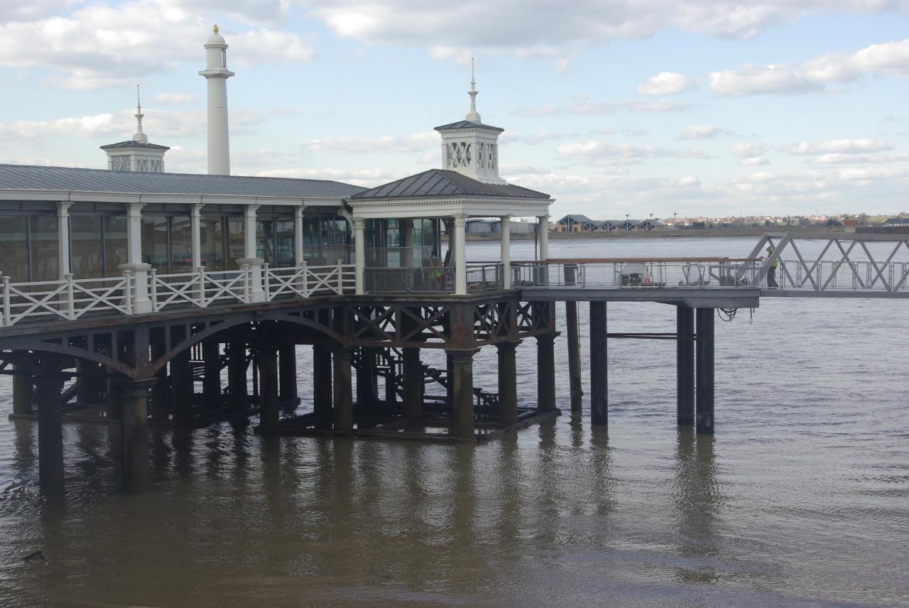
The Grapes Public House
The Grapes Public House in England South East, United Kingdom.
 📷 7
📷 7Historic pubs · South East England
The Three Daws Public House
The Three Daws Public House in England South East, United Kingdom.
 📷 5
📷 5Historic pubs · South East England
The Kent Public House
The Kent Public House in England South East, United Kingdom.
 📷 5
📷 5Historic pubs · South East England
The Railway Bell Public House
The Railway Bell Public House in England South East, United Kingdom.
More places run by Royal Society for the Protection of Birds
 📷 5
📷 5Wildlife reserves · South East England
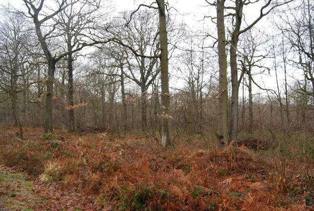
Amberley Wild Brooks
Amberley Wild Brooks — nature reserve in the United Kingdom.
 📷 5
📷 5Wildlife reserves · South East England
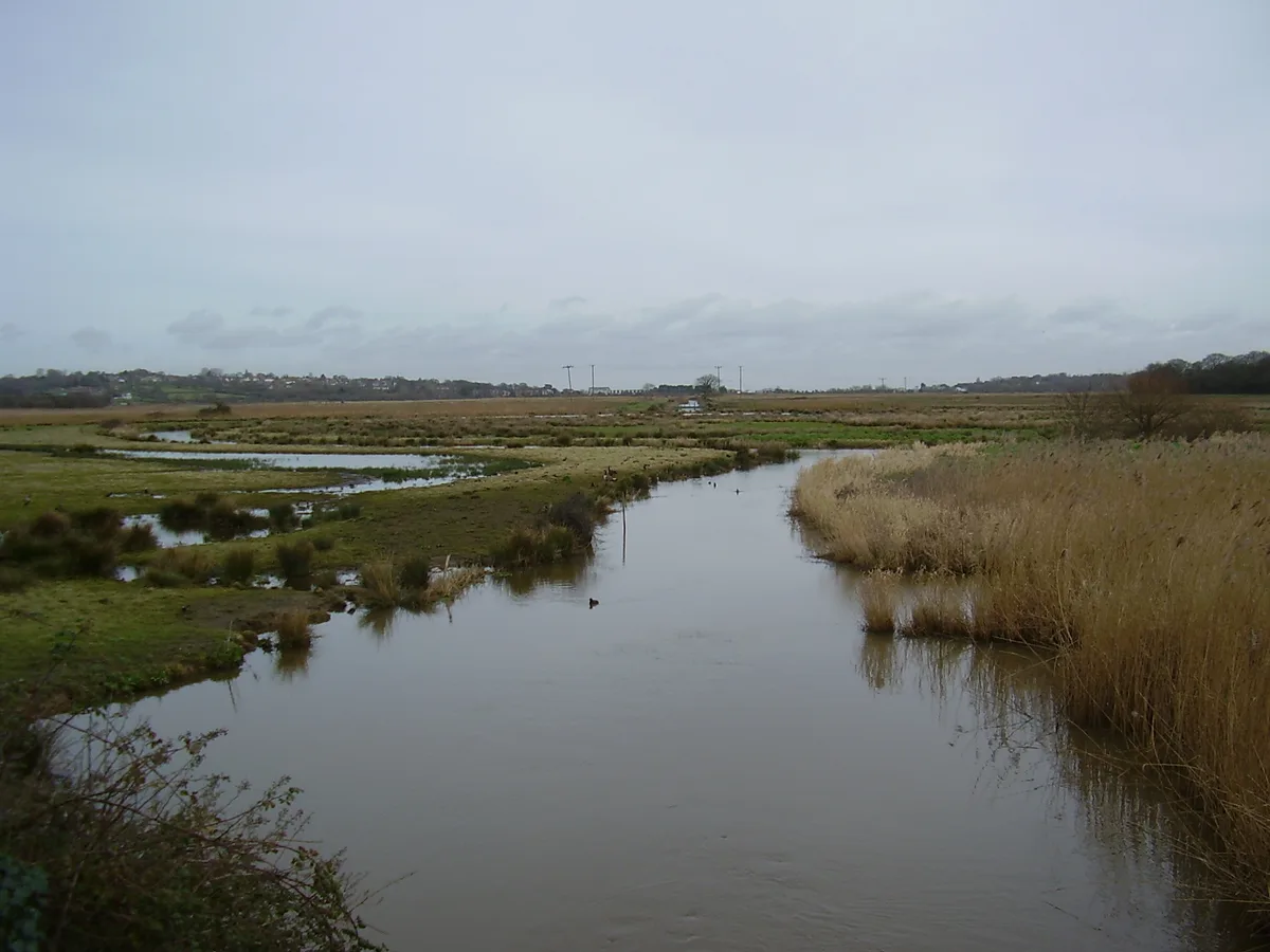
Blean Woods RSPB Reserve
Blean Woods RSPB Reserve — RSPB nature reserve in the United Kingdom.
 📷 5
📷 5Wildlife reserves · South East England
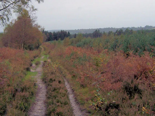
Brading Marshes RSPB reserve
Brading Marshes RSPB reserve — RSPB nature reserve on the Isle of Wight.
 📷 5
📷 5Wildlife reserves · South East England
Broadwater Warren RSPB Reserve
Broadwater Warren RSPB Reserve — RSPB nature reserve in the United Kingdom.
More places in this region
 📷 5
📷 5Hill forts · South East England
Ankerwycke Priory
Ankerwycke Priory — Benedictine nunnery with associated moat and fishponds.
 📷 5
📷 5Hill forts · South East England
Smythe's Megalith
Smythe's Megalith — neolithic monument in Kent, England.
 📷 5
📷 5Hill forts · South East England
White Horse Stone
White Horse Stone — Two megaliths near Aylesford, Kent, England.
 Flagship📷 10
Hill forts · South East England
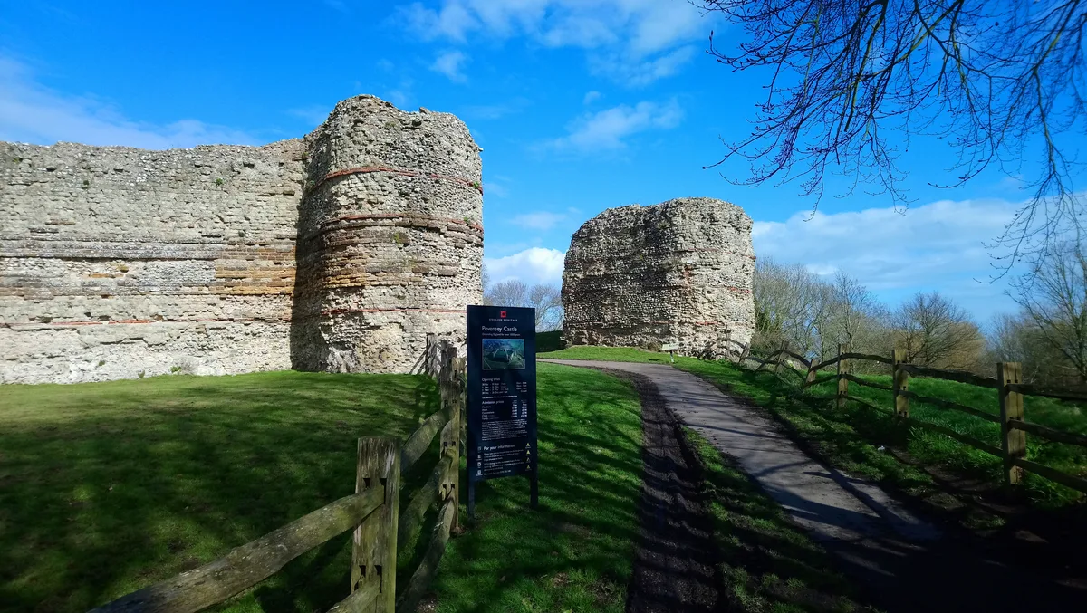
Castrum Anderitum
Castrum Anderitum — 3rd century Roman fort in the province of Britannia.
Frequently asked questions
- Where is Shornemead Fort?
- Shornemead Fort is in Kent, London, United Kingdom (postcode DA12 3HU), in the parish of Shorne.
- What is Shornemead Fort?
- Shornemead Fort — fort in Shorne, Kent, England, UK.
- How do I get to Shornemead Fort?
- The nearest railway station is Higham, about 3.1 km away. Drivers can use postcode DA12 3HU.
- When was Shornemead Fort built?
- Built or established in 1861.
- Who runs Shornemead Fort?
- Shornemead Fort is operated by Royal Society for the Protection of Birds.
- Is Shornemead Fort a listed building?
- Shornemead Fort is officially recognised as scheduled monument listed.
- Is Shornemead Fort a protected site?
- Yes — Shornemead Fort is part of the South Thames Estuary and Marshes SSSI Site of Special Scientific Interest and the Thames Estuary & Marshes Ramsar wetland.
- Is Shornemead Fort free to visit?
- Yes, Shornemead Fort is free to enter.