
Forts · East of England
Cliffe Fort
In or near Hoo St Werburgh.
Cliffe Fort is a fort in the United Kingdom.

Wikimedia Commons contributors — see linked file page for photographer and licence licence

Plan your visit
- Typical visit
- 45 min–1.5 h
- Nearest railway station
- East Tilbury · 3.8 km
Getting there & planning your visit
To visit Cliffe Fort, the nearest railway station is East Tilbury, located 3.8 km away. The postcode for sat-nav is ME3 7SZ. Entry details are not specified.
About
Cliffe Fort is a historic fort or fortified site in the United Kingdom. Records date its origin to 1861. Coordinates: 51.4636°, 0.4559°.
Photo gallery
Protected designations
- Site of Special Scientific Interest: South Thames Estuary and Marshes SSSI
- Site of Special Scientific Interest: Mucking Flats and Marshes SSSI
- Ramsar wetland: Thames Estuary & Marshes
Designations sourced from Natural England open data under OGL v3.
From the Wikipedia article
Cliffe Fort is a disused artillery fort built in the 1860s to guard the entrance to the River Thames from seaborne attack. Constructed during a period of tension with France, it stands on the south bank of the river at the entrance to Cliffe Creek in the Cliffe marshes on the Hoo Peninsula in North Kent, England. Its location on marshy ground caused problems from the start and necessitated changes to its design after the structure begin to crack and subside during construction. The fort was equipped with a variety of large-calibre artillery guns which were intended to support two other nearby Thamesside forts. A launcher for the Brennan torpedo—which has been described as the world's first practical guided missile—was installed there at the end of the 19th century but was only in active use for a few years. Cliffe Fort saw about 60 years of usage as an artillery fort, from its completion in 1870 to its disarmament in 1927. It was repurposed during World War II to serve as an anti-aircraft battery on the approaches to London. The fort's military career ended when it was sold off after the war to the owners of a neighbouring aggregates works. Today it lies derelict, overgrown and heavily flooded. It is not accessible to the public and is in a poor and slowly deteriorating condition which has led it to be listed as an "at risk" heritage asset.
Excerpt from Wikipedia under CC BY-SA 4.0. See the source article linked in Sources below.
Background
History
By the late 1850s, Britain and France were locked in an arms race. A new generation of increasingly accurate and powerful guns had been developed (of the Rifled Muzzle Loader (RML) and Rifled Breech Loader (RBL) types), mounted on fast-moving, manoeuvrable steam-powered ironclad warships such as the French La Gloire and the British . By this time Britain's coastal defences had not been substantially upgraded since the Napoleonic Wars. A number of forts built between the 16th and late 18th centuries stood in the area around Tilbury and Gravesend, west of Cliffe Fort, but like many other existing fortifications in Britain they were by now largely obsolete. The Royal Commission recommended…
Architecture
Cliffe Fort was constructed between 1861 and 1870 for an estimated cost of around £163,000. Its original plan called for 13 guns to be mounted on the fort's terreplein or roof, three more to be mounted en barbette and two for land defence. Granite-faced casemates with iron shields would house another 20 guns below. The front would form a quadrant protected by three flanking caponiers for musketry, with two bastioned fronts formed by the gorge building. In addition to the main magazine, the interior of the fort would house four shell filling rooms and four expense magazines. The entire fort would rest on a bed of concrete 7 ft thick. However, the problems of building on a marshy site next to…
Sourced from Wikipedia under CC BY-SA 4.0.
- Coordinates
- 51.4636, 0.4559
- District
- Medway
- Parish
- Cliffe and Cliffe Woods
- Postcode
- ME3 7SZ
- Parliamentary constituency
- Rochester and Strood
- Established
- 1861
- Nearest railway station
- East Tilbury — 3.8 km
Sources
- osm: w82098134 (ODbL)
- wikipedia: Cliffe Fort (CC BY-SA 4.0)
- commons: Cliffe Fort Aerial.jpg (CC BY-SA 4.0)
Other places nearby

Marine Sand Unloading Pier
Piers · 0.1 km

Hans Egede
Museums · 0.2 km

Flamingo Viewpoint
Viewpoints · 0.8 km

Coalhouse Fort
Museums · 1.6 km

Coalhouse Fort
Forts · 1.6 km

Radar Pool Viewpoint
Viewpoints · 1.6 km

The Pinnacle
Viewpoints · 1.8 km
East Tilbury
Museums · 1.8 km

Thames View Camping
Campsites · 2.1 km

Barrow Hill
Mountains & hills · 2.1 km

Bata Cinema
Theatres · 2.2 km

Shornemead Fort
Hill forts · 2.4 km
Nearby
📷 5Piers · East of England
Marine Sand Unloading Pier
Marine Sand Unloading Pier is a pier in the United Kingdom.
📷 5📷 5Viewpoints · East of England
Flamingo Viewpoint
Flamingo Viewpoint — Named viewpoint at -4.440 m elevation.
📷 5Museums · East of England
Coalhouse Fort
Coalhouse Fort is an artillery fort in the eastern English county of Essex. It was built in the 1860s to guard the lower Thames from seaborne attack. It stands at Coalhouse Point on the north bank of
📷 5📷 5Viewpoints · East of England
Radar Pool Viewpoint
Radar Pool Viewpoint — Named viewpoint at -8.0452880859375 m elevation.
Where to eat & stay near Cliffe Fort
Places to stay
📷 5Campsites · East of England
Thames View Camping
Thames View Camping — a campsite in england london.
 📷 5
📷 5Campsites · East of England
Condovers Scout Activity Centre
Condovers Scout Activity Centre — a campsite in england london.
 📷 5
📷 5 📷 5
📷 5 📷 7
📷 7 📷 5
📷 5B&Bs · South East England
Jessamine House
Jessamine House — a bed-and-breakfast in england london.
Places to eat & drink
 📷 7
📷 7Historic pubs · South East England
Sir John Falstaff Public House
Sir John Falstaff Public House in England South East, United Kingdom.
 📷 7
📷 7Historic pubs · South East England
Crown & Thistle
Crown & Thistle in England South East, United Kingdom.
 📷 7
📷 7Historic pubs · South East England
The Grapes Public House
The Grapes Public House in England South East, United Kingdom.
 📷 7
📷 7Historic pubs · South East England
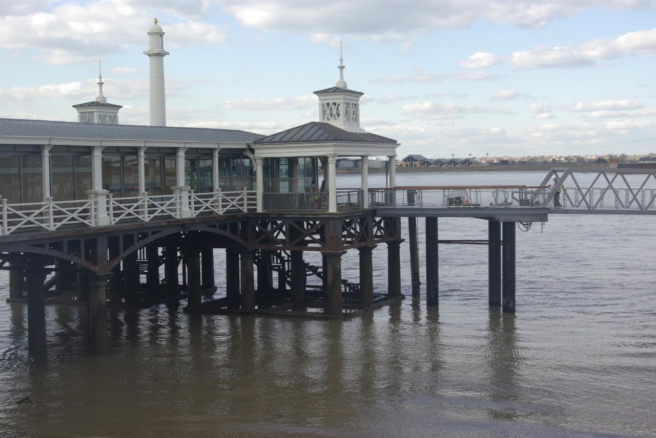
The Three Daws Public House
The Three Daws Public House in England South East, United Kingdom.
 📷 5
📷 5Historic pubs · South East England
The Kent Public House
The Kent Public House in England South East, United Kingdom.
 📷 5
📷 5Historic pubs · South East England
The Railway Bell Public House
The Railway Bell Public House in England South East, United Kingdom.
Other forts from this era
 📷 5
📷 5 📷 5
📷 5Forts · South East England
Darnet Fort
Darnet Fort is a fort in the United Kingdom.
 📷 5
📷 5 📷 5
📷 5More forts in this region
 📷 5
📷 5Forts · East of England
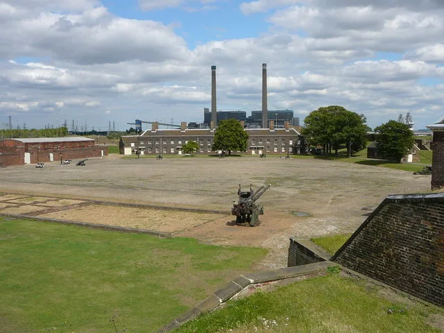
Tilbury Fort
Tilbury Fort is a fort in the United Kingdom.
 📷 5
📷 5Forts · East of England
Wallbury Fort
Wallbury Fort is a fort in the United Kingdom.
 📷 5
📷 5Forts · East of England
The maze and monument on Hilton Green
The maze and monument on Hilton Green — a martello broad in england-london, United Kingdom.
 📷 5
📷 5Forts · East of England
Obelisk at site of Republic Cottage, Stocks Bridge
Obelisk at site of Republic Cottage, Stocks Bridge — a martello broad in england-london, United Kingdom.
Frequently asked questions
- Where is Cliffe Fort?
- Cliffe Fort is in London, United Kingdom (postcode ME3 7SZ), in the parish of Cliffe and Cliffe Woods.
- What is Cliffe Fort?
- Cliffe Fort is a fort in the United Kingdom.
- How do I get to Cliffe Fort?
- The nearest railway station is East Tilbury, about 3.8 km away. Drivers can use postcode ME3 7SZ.
- When was Cliffe Fort built?
- Built or established in 1861.
- Is Cliffe Fort a protected site?
- Yes — Cliffe Fort is part of the South Thames Estuary and Marshes SSSI Site of Special Scientific Interest and the Mucking Flats and Marshes SSSI Site of Special Scientific Interest.
- How do I get to Cliffe Fort?
- The nearest railway station is East Tilbury, about 3.8 km away. Drivers can navigate to postcode ME3 7SZ.