
Hill forts · South East England
Castrum Anderitum
In or near Pevensey.
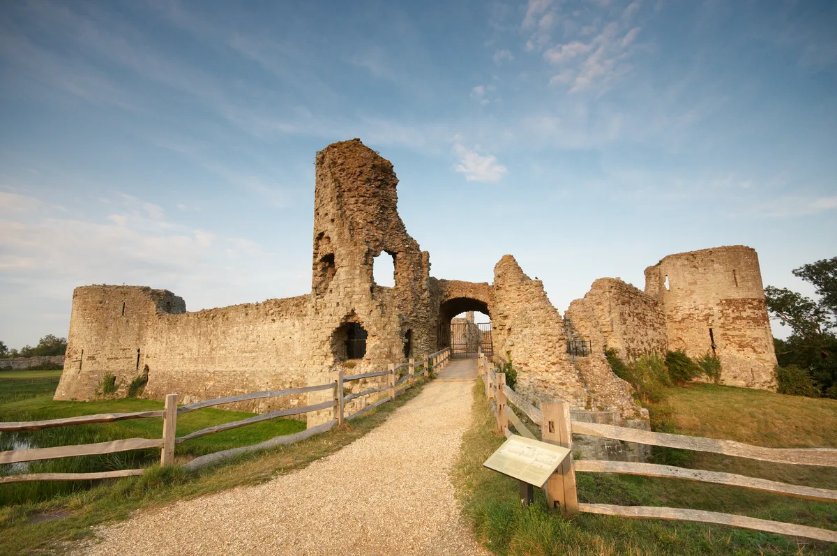
Castrum Anderitum — 3rd century Roman fort in the province of Britannia.

Wikimedia Commons contributors — see linked file page for photographer and licence licence
_(40269032085).jpg)
Plan your visit
- Typical visit
- 1 h–2 h
- Nearest railway station
- Pevensey and Westham · 0.7 km
- Free entry
- Dog-friendly
Getting there & planning your visit
Castrum Anderitum is located in East Sussex, with the postcode BN24 5LG. The nearest railway station is Pevensey and Westham, which is 0.7 km away. Entry to the site is free.
About
Castrum Anderitum is a hill fort in the United Kingdom. Records date its origin to AD 290. It covers approximately 4 km². Constructed primarily of sandstone. Part of Saxon Shore. Wikidata describes it as: "3rd century Roman fort in the province of Britannia". Coordinates: 50.8193°, 0.3329°.
Photo gallery
Protected designations
- Site of Special Scientific Interest: Pevensey Levels SSSI
- Ramsar wetland: Pevensey Levels
Designations sourced from Natural England open data under OGL v3.
From the Wikipedia article
Anderitum (also Anderida or Anderidos) was a Saxon Shore fort in the Roman province of Britannia. The ruins adjoin the west end of the village of Pevensey in East Sussex, England. The fort was built in the 290s and was abandoned after it was sacked in 471 (491 according to the disputed Anglo-Saxon Chronicles). It was re-inhabited by Saxons and in the 11th century the Normans built a castle within the east end of the fort. The site decayed to become the archetypal ruinous medieval castle, Pevensey Castle, which is surrounded by a small moat, large green, and unusually substantial Roman defensive walls on three sides. During the Second World War, the Roman fort and medieval castle were adapted for modern warfare, and pillboxes were built into the Roman walls.
Excerpt from Wikipedia under CC BY-SA 4.0. See the source article linked in Sources below.
Background
Architecture
It has been estimated that it took around 160,000 man-days to build the fort, equivalent to 285 men spending two years building it or 115 men over five years. At least four gangs of builders appear to have worked on the surviving sections of walls; each gang was given a stretch of about 20 m at a time to build but executed the work in significantly different styles, for instance using differing numbers of tiled bonding-courses or ironstone facing in particular places. This may simply indicate varying levels of availability of construction materials at the time each segment was built, leading the gangs to use whatever supplies were available at that moment. The amount of construction…
Sourced from Wikipedia under CC BY-SA 4.0.
- Coordinates
- 50.8193, 0.3329
- County
- East Sussex
- District
- Wealden
- Parish
- Pevensey
- Postcode
- BN24 5LG
- Parliamentary constituency
- Bexhill and Battle
- Established
- 290
- Nearest railway station
- Pevensey and Westham — 0.7 km
Sources
- wikidata: Q943660 (CC0)
- wikipedia: Anderitum (CC BY-SA 4.0)
- commons: Pevensey Castle (30) (40269032085).jpg (CC BY-SA 4.0)
Other places nearby

Pevensey Roman Fort
Archaeological sites · 0.0 km
Pevensey Castle
Castles · 0.0 km

Tudor Artillery Battery
Archaeological sites · 0.1 km

Pevensey Cannon
Memorials & monuments · 0.1 km

1066 Country Walk
Military museums · 0.1 km

Landings
Public art & sculpture · 0.1 km

Pevensey Court House
Museums · 0.3 km
Pevensey Courthouse Museum
Museums · 0.3 km
St. Nicolas Church, Pevensey
Historic churches · 0.3 km
St Mary's Church, Westham
Historic churches · 0.3 km
_(geograph_7216337).jpg?width=1200)
Old Oak House
Historic houses · 0.4 km
Pevensey
Towns & cities · 0.4 km
Nearby
📷 5Archaeological sites · South East England
Pevensey Roman Fort
Pevensey Roman Fort — a archaeological in england-south-east, United Kingdom.
📷 5Castles · South East England
Pevensey Castle
Pevensey Castle — medieval castle in a former Roman fort at Pevensey in East Sussex, England, UK.
📷 5Archaeological sites · South East England
Tudor Artillery Battery
Tudor Artillery Battery — a archaeological in england-south-east, United Kingdom.
📷 5Memorials & monuments · South East England
Pevensey Cannon
Pevensey Cannon — a memorial in england-south-east, United Kingdom.
📷 5Military museums · South East England
1066 Country Walk
1066 Country Walk — a military museum in england south east.
📷 5Public art & sculpture · South East England
Landings
Landings — a public art in england-south-east, United Kingdom.
Where to eat & stay near Castrum Anderitum
Places to stay
 📷 5
📷 5Caravan parks · South East England
Pevensey Bay Holiday Park
Pevensey Bay Holiday Park — a caravan park in england south east.
 📷 5
📷 5Caravan parks · South East England
Castle View Caravan Site
Castle View Caravan Site — a caravan park in england south east.
 📷 5
📷 5Caravan parks · South East England
Grey Tower Caravan Park
Grey Tower Caravan Park — a caravan park in england south east.
 📷 5
📷 5 📷 5
📷 5Caravan parks · South East England
Normans Bay Camping and Caravanning Club
Normans Bay Camping and Caravanning Club — a caravan park in england south east.
 📷 5
📷 5Caravan parks · South East England
Normans Bay Caravan Park
Normans Bay Caravan Park — a caravan park in england south east.
Places to eat & drink
 📷 5
📷 5 📷 7
📷 7Historic pubs · South East England
The Bulls Head Inn
The Bulls Head Inn in England South East, United Kingdom.
 📷 7
📷 7 📷 5
📷 5Historic pubs · South East England
The George Hotel
The George Hotel in England South East, United Kingdom.
 📷 5
📷 5Historic pubs · South East England
The Red Lion Inn
The Red Lion Inn in England South East, United Kingdom.
 📷 7
📷 7Restaurants · South East England
The Sundial Restaurant
The Sundial Restaurant — a restaurant in england south east.
Other places from this era
 Flagship📷 10
Hill forts · South East England
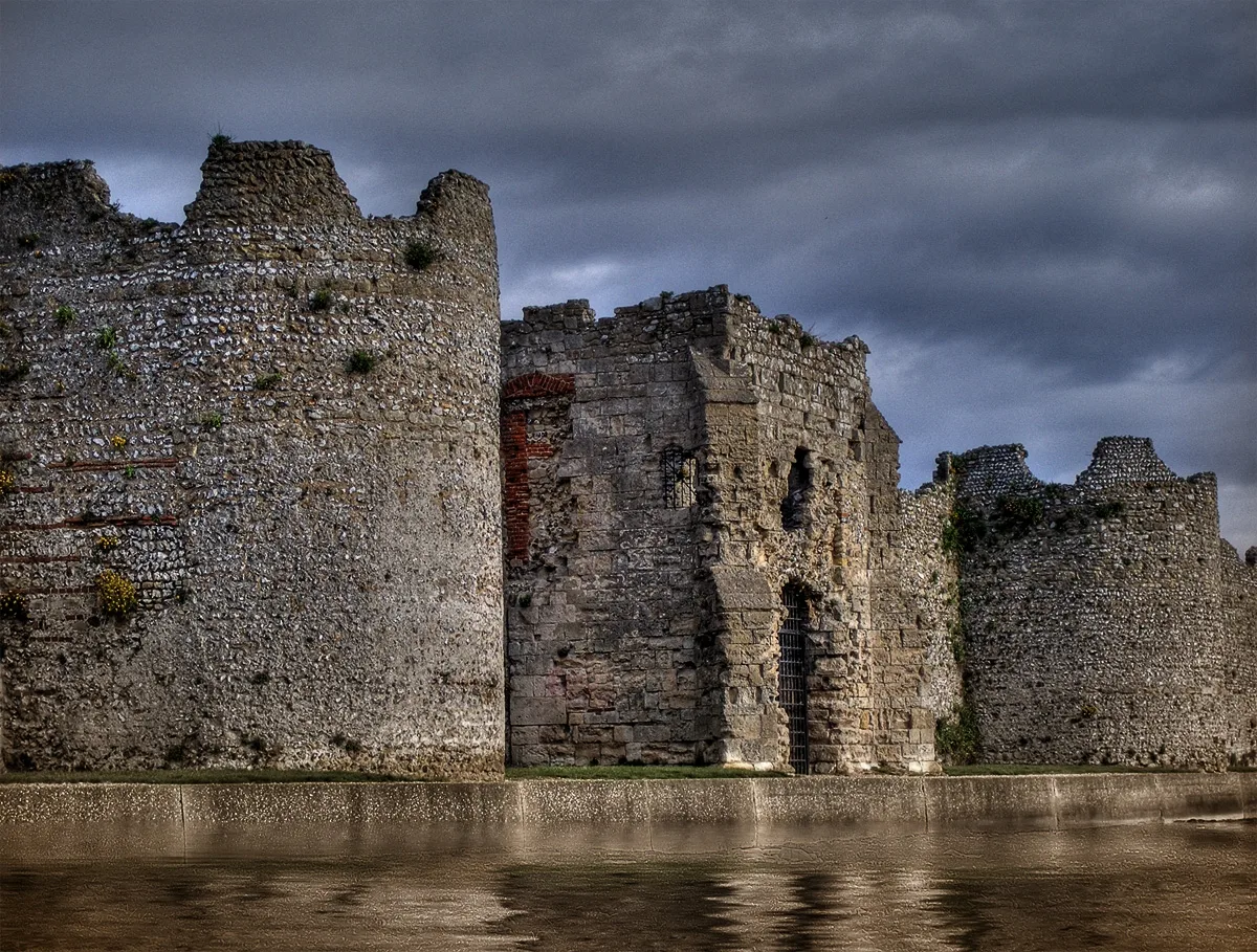
Portus Adurni
Portus Adurni is a hill fort in the United Kingdom.
 📷 5
📷 5Hill forts · South West England
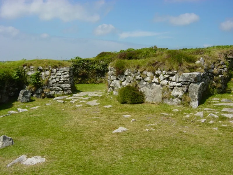
Chysauster Ancient Village
Chysauster Ancient Village — archaeological site in New Mill, Cornwall, Cornwall, England, UK.
 📷 5
📷 5Hill forts · East of England
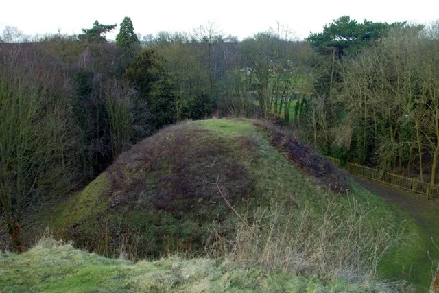
Bartlow Hills
Bartlow Hills — Roman tumuli cemetery in Bartlow (Cambridgeshire, UK).
 📷 4
📷 4Hill forts · East of England
Temple of Claudius in Colchester
Temple of Claudius in Colchester — Roman temple dedicated to deified Claudius in Colchester, United Kingdom.
More places in this region
 📷 5
📷 5Hill forts · South East England
Ankerwycke Priory
Ankerwycke Priory — Benedictine nunnery with associated moat and fishponds.
 📷 5
📷 5Hill forts · South East England
Shornemead Fort
Shornemead Fort — fort in Shorne, Kent, England, UK.
 📷 5
📷 5Hill forts · South East England
Smythe's Megalith
Smythe's Megalith — neolithic monument in Kent, England.
 📷 5
📷 5Hill forts · South East England
White Horse Stone
White Horse Stone — Two megaliths near Aylesford, Kent, England.
Frequently asked questions
- Where is Castrum Anderitum?
- Castrum Anderitum is in East Sussex, South-East England, United Kingdom (postcode BN24 5LG), in the parish of Pevensey.
- What is Castrum Anderitum?
- Castrum Anderitum — 3rd century Roman fort in the province of Britannia.
- How do I get to Castrum Anderitum?
- The nearest railway station is Pevensey and Westham, about 0.7 km away. Drivers can use postcode BN24 5LG.
- When was Castrum Anderitum built?
- Built or established in 290.
- Is Castrum Anderitum a protected site?
- Yes — Castrum Anderitum is part of the Pevensey Levels SSSI Site of Special Scientific Interest and the Pevensey Levels Ramsar wetland.
- Is Castrum Anderitum free to visit?
- Yes, Castrum Anderitum is free to enter.
- How do I get to Castrum Anderitum?
- The nearest railway station is Pevensey and Westham, about 0.7 km away. Drivers can navigate to postcode BN24 5LG.