
National parks · Yorkshire & the Humber
Malham Cove
In or near Malham.
Malham Cove is a large curved limestone formation 0.6 miles (1 km) north of the village of Malham, North Yorkshire, England. It was formed by a waterfall carrying meltwater from glaciers at the end of

Chris Tomlinson — CC BY-SA 2.0 via Wikimedia Commons licence

Plan your visit
- Typical visit
- 4 h–8 h
- Best time of year
- Spring – autumn (Apr–Oct)
- Nearest railway station
- Settle · 8.0 km
- Free entry
- Family-friendly
- Dog-friendly
About
Malham Cove is a large curved limestone formation 0.6 miles (1 km) north of the village of Malham, North Yorkshire, England. It was formed by a waterfall carrying meltwater from glaciers at the end of the last Ice Age more than 12,000 years ago. Today it is a well-known beauty spot and rock climbing crag within the Yorkshire Dales National Park. A large limestone pavement lies above the cove.
Photo gallery
Protected designations
- Site of Special Scientific Interest: Malham-Arncliffe SSSI
Designations sourced from Natural England open data under OGL v3.
From the Wikipedia article
Malham Cove is a large curved limestone formation 0.6 miles (1 km) north of the village of Malham, North Yorkshire, England. It was formed by a waterfall carrying meltwater from glaciers at the end of the last Ice Age more than 12,000 years ago. Today it is a well-known beauty spot and rock climbing crag within the Yorkshire Dales National Park. A large limestone pavement lies above the cove.
Excerpt from Wikipedia under CC BY-SA 4.0. See the source article linked in Sources below.
Background
History
The priest and noted antiquary Thomas West described the cove in 1779: "This beautiful rock is like the age-tinted wall of a prodigious castle; the stone is very white, and from the ledges hang various shrubs and vegetables, which with the tints given it by the bog water. & c. gives it a variety that I never before saw so pleasing in a plain rock." On the west side of the 80-metre (260 foot) high cliff face are about 400 irregular stone steps: these form part of the route of the Pennine Way and lead to an uneven limestone pavement at the top.
Sourced from Wikipedia under CC BY-SA 4.0.
- Coordinates
- 54.0708, -2.1586
- District
- North Yorkshire
- Parish
- Malham
- Postcode
- BD23 4DJ
- Parliamentary constituency
- Skipton and Ripon
- Nearest railway station
- Settle — 8 km
Sources
- wikipedia: Malham Cove (CC BY-SA 4.0)
Featured in these 3 guides
Other places nearby

Bombey's Barn
Historic houses · 0.2 km

Malham Cove Rising
Caves · 0.2 km

Yarnthawe Barn
Historic houses · 0.4 km

Malham Mill
Archaeological sites · 0.5 km

Riverside Campsite
Campsites · 0.6 km

Medieval settlements and lynchets extending NW from Town Head
Vineyards · 0.6 km

Town Head Barn
Natural landmarks · 0.7 km

Field Barns
Archaeological sites · 0.8 km

Hill Top Farm Bunk Barn
Hostels · 0.9 km

Youth Hostel Association Malham
Hostels · 1.0 km

The Lister Arms Hotel
Hotels · 1.1 km

Cowden
Mountains & hills · 1.1 km
Nearby
📷 3Historic houses · Yorkshire & the Humber
Bombey's Barn
Bombey's Barn — a historic house in england-north-west, United Kingdom.
📷 5Caves · Yorkshire & the Humber
Malham Cove Rising
Malham Cove Rising — a cave broad in england-north-west, United Kingdom.
📷 3Historic houses · Yorkshire & the Humber
Yarnthawe Barn
Yarnthawe Barn — a historic house in england-north-west, United Kingdom.
📷 3Archaeological sites · Yorkshire & the Humber
Malham Mill
Malham Mill — a archaeological in england-north-west, United Kingdom.
📷 5Campsites · Yorkshire & the Humber
Riverside Campsite
Riverside Campsite — a campsite in england north west.
📷 5Vineyards · Yorkshire & the Humber
Medieval settlements and lynchets extending NW from Town Head
Medieval settlements and lynchets extending NW from Town Head — a UK vineyard in england north west, producing English or Welsh wine from cool-climate grape varieties.
Where to eat & stay near Malham Cove
Places to stay
📷 5Campsites · Yorkshire & the Humber
Riverside Campsite
Riverside Campsite — a campsite in england north west.
📷 5Hostels · Yorkshire & the Humber
Hill Top Farm Bunk Barn
Hill Top Farm Bunk Barn — a hostel in england north west.
📷 5Hostels · Yorkshire & the Humber
Youth Hostel Association Malham
Youth Hostel Association Malham — a hostel in england north west.
📷 7Hotels · Yorkshire & the Humber
The Lister Arms Hotel
The Lister Arms Hotel — a hotel in england north west.
 📷 5
📷 5Campsites · Yorkshire & the Humber
Gordale Scar Campsite
Gordale Scar Campsite — a campsite in england north west.
 📷 5
📷 5Caravan parks · Yorkshire & the Humber
Hurries Farm CL
Hurries Farm CL — a caravan park in england north west.
Places to eat & drink
 📷 6
📷 6Historic pubs · North West England
Falcon Manor Hotel
Falcon Manor Hotel in England North West, United Kingdom.
 📷 5
📷 5Restaurants · Yorkshire & the Humber
The Angel Inn
The Angel Inn — a restaurant in england north west.
 📷 7
📷 7 📷 7
📷 7Cafés · Yorkshire & the Humber
The Dalesman Cafe, Tea Room and Sweet Emporium
The Dalesman Cafe, Tea Room and Sweet Emporium — a café in england north west.
 📷 5
📷 5Historic pubs · Yorkshire & the Humber
Grassington House Hotel
Grassington House Hotel in England Yorkshire, United Kingdom.
 📷 5
📷 5Restaurants · North West England
The Game Cock Inn
The Game Cock Inn — a restaurant in england north west. Cuisine: french;english.
More national parks in this region
 Flagship📷 5
National parks · Yorkshire & the Humber
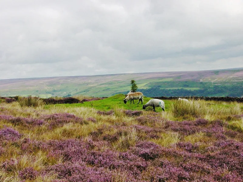
North York Moors
North York Moors is a Upland area in North Yorkshire, England.
 📷 3
📷 3National parks · Yorkshire & the Humber
Danby Lodge National Park Centre
Danby Lodge National Park Centre — a other in england-yorkshire, United Kingdom.
 📷 5
📷 5National parks · Yorkshire & the Humber
Forbidden Corner
The Forbidden Corner is a folly garden located in the Tupgill Park Estate, at Coverham in Coverdale, in the Yorkshire Dales National Park, England. It is open to the public. The folly garden is design
 Flagship📷 5
National parks · Yorkshire & the Humber
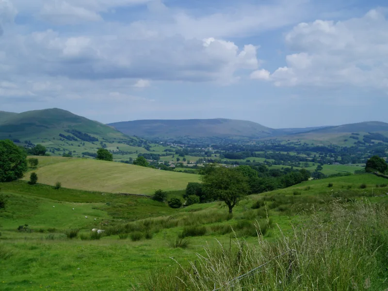
Yorkshire Dales
Yorkshire Dales is a Upland area of the Pennines in Northern England.
Frequently asked questions
- Where is Malham Cove?
- Malham Cove is in North-West England, United Kingdom (postcode BD23 4DJ), in the parish of Malham.
- What is Malham Cove?
- Malham Cove is a large curved limestone formation 0.6 miles (1 km) north of the village of Malham, North Yorkshire, England. It was formed by a waterfall carrying meltwater from glaciers at the end of
- How do I get to Malham Cove?
- The nearest railway station is Settle, about 8.0 km away. Drivers can use postcode BD23 4DJ.
- Is Malham Cove a protected site?
- Yes — Malham Cove is part of the Malham-Arncliffe SSSI Site of Special Scientific Interest.
- Is Malham Cove free to visit?
- Yes, Malham Cove is free to enter.
- How do I get to Malham Cove?
- Drivers can navigate to postcode BD23 4DJ. It sits within the Skipton and Ripon parliamentary constituency.