Archaeological sites · Northern Ireland
Drumkeeragh Forest
Drumkeeragh Forest is a archaeological site in the United Kingdom.

Wikimedia Commons contributors — see linked file page for photographer and licence licence
_-_geograph.org.uk_-_1584691.jpg)
Plan your visit
- Typical visit
- 45 min–1.5 h
- Free entry
- Dog-friendly
About
Drumkeeragh Forest is an archaeological site in the United Kingdom. Coordinates: 54.3516°, -5.9458°. This entry is part of The Great Britain Guide, a free, ad-free, open-data tourist directory.
Photo gallery
From the Wikipedia article
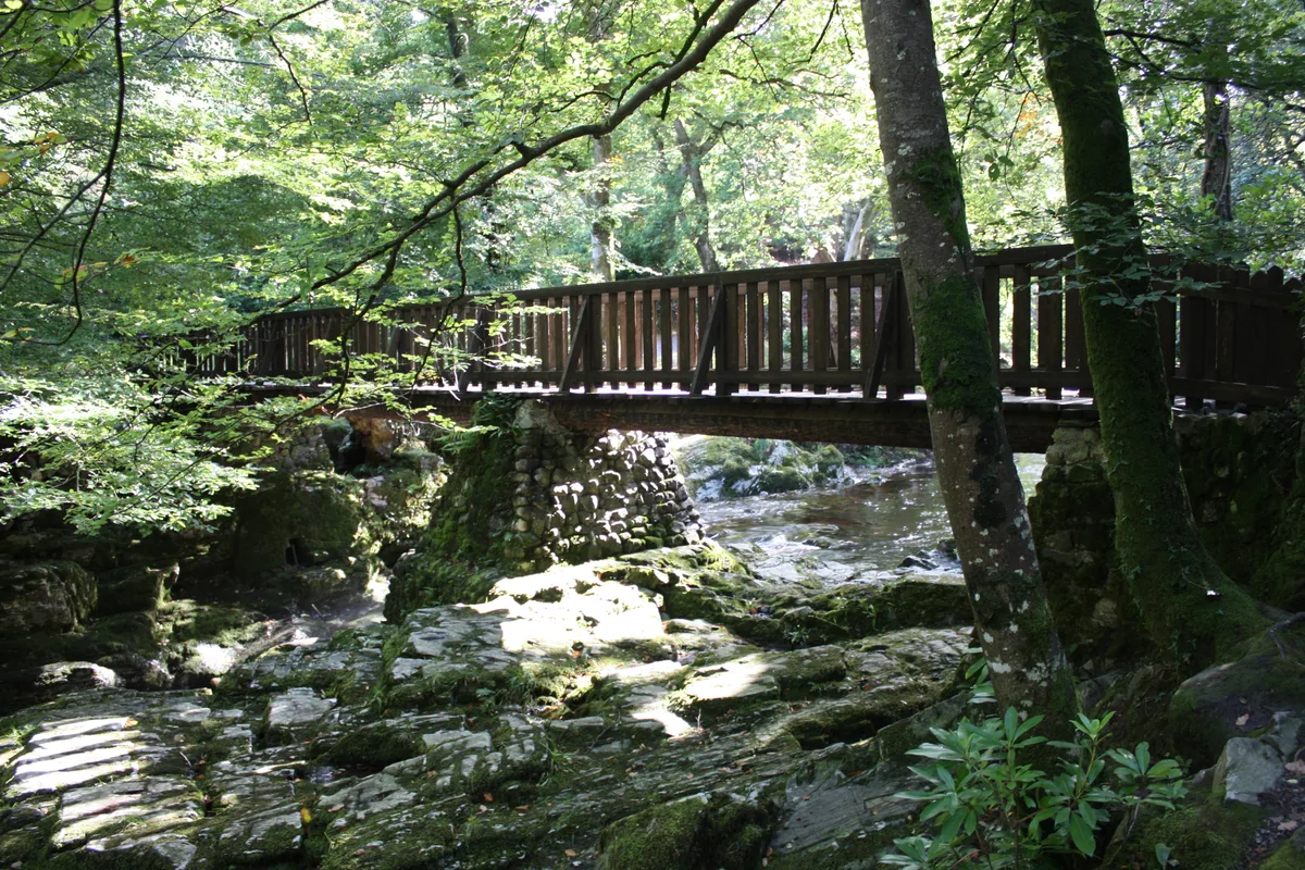
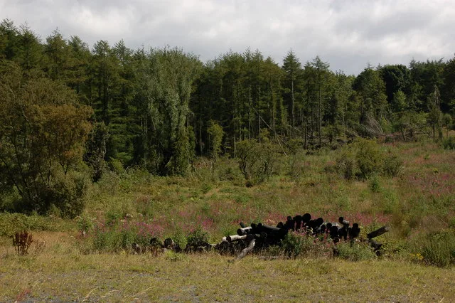
Drumkeeragh Forest is a mixed coniferous forest located on the lower slopes of Slieve Croob, near Ballynahinch, Northern Ireland. It is used for commercial felling and is managed by the Forest Service Northern Ireland. The forest is predominantly made up of sitka spruce but Norway spruce, western red cedar, European larch, Douglas fir, noble fir, and Scots, lodgepole and Corsican pines are also found there. The trees are felled for timber, with cleared sections rotating every 50 years. The high elevation (190 metres (620 ft) to 310 metres (1,020 ft)) and poor soil mean that deciduous trees used to produce timber can not grow in the forest. In the cleared areas, replanting has been carried out with wildlife conservation and landscaping in mind. Some of the replanted trees have included mountain ash and silver birch, both native broadleaf trees, which has led to a wider variety of birds in these areas.
Excerpt from Wikipedia under CC BY-SA 4.0. See the source article linked in Sources below.
Background
Visiting
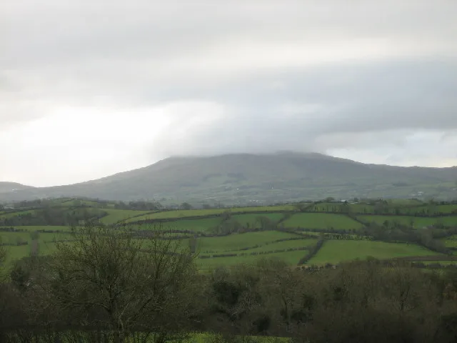
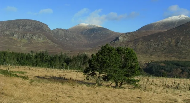
The forest can be accessed from Drumnaquoile Road where there is a small car park. There are many gravel roads through the forest. Slieve Views of Slieve Croob on the left to the Antrim Hills may be had.
Sourced from Wikipedia under CC BY-SA 4.0.
- Coordinates
- 54.3516, -5.9458
- District
- Newry, Mourne and Down
- Postcode
- BT24 8QT
- Parliamentary constituency
- South Down
Sources
- wikidata: Q22000977 (CC0)
- wikipedia: Drumkeeragh Forest (CC BY-SA 4.0)
- commons: Drumkeeragh forest (3) - geograph.org.uk - 1584691.jpg (CC BY-SA 4.0)
Other places nearby
Loading nearby places…
Nearby
Mountain bike trails · Northern Ireland
Treetop Trail
Treetop Trail — a mtb trail in northern ireland.
 📷 5
📷 5Natural landmarks · Northern Ireland
County Down
County Down in Northern Ireland, United Kingdom.
 📷 5
📷 5Natural landmarks · Northern Ireland
River Lagan
River Lagan in Northern Ireland, United Kingdom.
 📷 4
📷 4Mountains & hills · Northern Ireland
Slieve Croob
Slieve Croob — Named summit at 534 m.
 📷 4
📷 4Natural landmarks · Northern Ireland
Slieve Croob
Slieve Croob — mountain in the United Kingdom.
 📷 3
📷 3Castles · Northern Ireland
McCartan's Castle
McCartan's Castle — a castle in northern-ireland, United Kingdom.
More archaeological sites in this region
 Flagship📷 5
Archaeological sites · Northern Ireland
Tollymore Forest Park
Tollymore Forest Park — park in the United Kingdom.
 📷 3
📷 3Archaeological sites · Northern Ireland
Annalong Forest
Annalong Forest — Forest in County Down, Northern Ireland.
 📷 3
📷 3Archaeological sites · Northern Ireland
Ballysallagh Forest
Ballysallagh Forest — forest in Northern Ireland.
 📷 3
📷 3Archaeological sites · Northern Ireland
Castleward Forest
Castleward Forest — castleward Forest: Northern Ireland.
Frequently asked questions
- Where is Drumkeeragh Forest?
- Drumkeeragh Forest is in Northern Ireland, United Kingdom (postcode BT24 8QT).
- Who owns Drumkeeragh Forest?
- Drumkeeragh Forest is owned by Forest Service Northern Ireland.
- How do I get to Drumkeeragh Forest?
- Drivers can navigate to postcode BT24 8QT. It sits within the South Down parliamentary constituency.