
Natural landmarks · Northern Ireland
River Lagan
Also known as: Abhainn an Lagáin
In or near Dromara.
River Lagan in Northern Ireland, United Kingdom.

HENRY CLARK — CC BY-SA 2.0 via Wikimedia Commons licence

Plan your visit
- Typical visit
- 1 h–2 h
- Free entry
- Dog-friendly
About
River Lagan is a place of interest in Northern Ireland, United Kingdom — drawn from open-data sources for visitor reference. See the linked Wikipedia article for the full description.
Photo gallery
From the Wikipedia article
The River Lagan (from Irish Abhainn an Lagáin 'river of the low-lying district'; Ulster Scots: Lagan Wattèr) is a major river in Northern Ireland which runs 53.5 mi (86.1 km) from the Slieve Croob mountain in County Down to Belfast where it enters Belfast Lough, an inlet of the Irish Sea. The Lagan forms much of the border between County Antrim and County Down in the east of Ulster. It rises as a stream near to the summit of Slieve Croob. It runs to Belfast through Dromara, Donaghcloney and Dromore. On the lower slopes of the mountain, it combines with a branch from Legananny Mountain, just opposite Slieve Croob. The river then turns east to Magheralin into a broad plain between the plateaus of Antrim and Down. The river drains approximately 609 square km of agricultural land and flows to the Stranmillis Weir, from which point on it is estuarine. The catchment consists mainly of enriched agricultural grassland in the upper parts, with the lower section draining urban Belfast and Lisburn. There is one significant tributary, the Ravernet River, and there are several minor tributaries, including the Carryduff River, the River Farset and the Blackstaff River. Work is proceeding to restore a self-sustaining population of Atlantic salmon to the river.
Excerpt from Wikipedia under CC BY-SA 4.0. See the source article linked in Sources below.
Background
History
Ptolemy's Geography (2nd century AD) described a river called Λογια (Logia). The river name is thought to connect with Old Irish loeg ("calf") and with *laks ("salmon").
Description
The name Belfast originates from the Irish Béal Feirste, or the mouth of the Farset, the river on which the city was built and which flows into the Lagan. The Farset has been superseded by the River Lagan as the most important river. A section of the Farset is covered over by the city's High Street.
Sourced from Wikipedia under CC BY-SA 4.0.
- Coordinates
- 54.3455, -5.9744
- District
- Newry, Mourne and Down
- Postcode
- BT25 2LB
- Parliamentary constituency
- South Down
Sources
- wikidata: Q1501247 (CC0)
- wikipedia: River Lagan (CC BY-SA 4.0)
Other places nearby
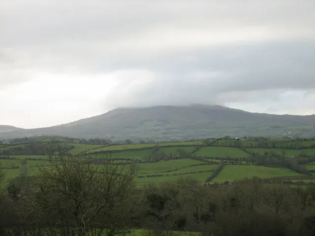
Slieve Croob
Natural landmarks · 0.6 km
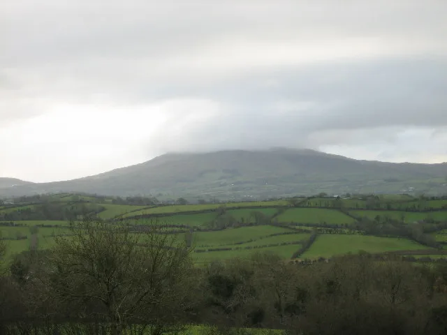
Slieve Croob
Mountains & hills · 0.6 km

Treetop Trail
Mountain bike trails · 1.3 km

Sliabh an Uisce
Mountains & hills · 1.7 km
Slievenisky
Mountains & hills · 1.7 km

Source of the River Lagan
Public art & sculpture · 1.9 km
Crocknafoyle
Mountains & hills · 1.9 km
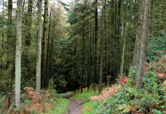
Drumkeeragh Forest
Archaeological sites · 2.0 km

Slieve Croob Camping
Campsites · 2.1 km

Cratlieve
Mountains & hills · 2.5 km
Cratlieve
Mountains & hills · 2.6 km

County Down
Natural landmarks · 2.8 km
Nearby
📷 4📷 4📷 5Mountain bike trails · Northern Ireland
Treetop Trail
Treetop Trail — a mtb trail in northern ireland.
📷 5Mountains & hills · Northern Ireland
Sliabh an Uisce
Sliabh an Uisce — a hill or mountain in northern ireland.
📷 5Mountains & hills · Northern Ireland
Slievenisky
Slievenisky — mountain in northern ireland. Elevation: 446 m.
📷 3Public art & sculpture · Northern Ireland
Source of the River Lagan
Source of the River Lagan — a public art in northern-ireland, United Kingdom.
Where to eat & stay near River Lagan
Places to stay
📷 5Campsites · Northern Ireland
Slieve Croob Camping
Slieve Croob Camping — a campsite in northern ireland.
 📷 5
📷 5Campsites · Northern Ireland
Castlewellan Touring-in-the-Trees
Castlewellan Touring-in-the-Trees — a campsite in northern ireland.
 📷 5
📷 5Campsites · Northern Ireland
Castlewellan Forest Park - Camping
Castlewellan Forest Park - Camping — a campsite in northern ireland.
 📷 5
📷 5Caravan parks · Northern Ireland
Castlewellan Forest Park - Caravan Site
Castlewellan Forest Park - Caravan Site — a caravan park in northern ireland.
 📷 5
📷 5Campsites · Northern Ireland
Tollymore Forest Park - Campsite
Tollymore Forest Park - Campsite — a campsite in northern ireland.
 📷 5
📷 5Caravan parks · Northern Ireland
Tollymore Forest
Tollymore Forest — a caravan park in northern ireland.
Places to eat & drink
 📷 3
📷 3Historic pubs · Northern Ireland
Soma Festival
The Soma Festival (Sanskrit: सोम, or sóma, meaning drink of the Gods, see Soma (drink); Irish: Féile Soma) is an annual music, arts, and cultural festival. The festival includes concerts, musical perf
More natural landmarks in this region
 Flagship📷 4
Natural landmarks · Northern Ireland
Lough Erne
Lough Erne — lake in County Fermanagh, Northern Ireland, UK.
 Flagship📷 4
Natural landmarks · Northern Ireland
Lough Neagh
Lough Neagh — large lake in Northern Ireland.
 📷 3
📷 3Natural landmarks · Northern Ireland
Ballysaggart Lough
Ballysaggart Lough — lake in the United Kingdom.
 📷 5
📷 5Natural landmarks · Northern Ireland
Belmore Mountain
Belmore Mountain — mountain in the United Kingdom.
Frequently asked questions
- Where is River Lagan?
- River Lagan is in Northern Ireland, United Kingdom (postcode BT25 2LB).
- What is River Lagan?
- River Lagan in Northern Ireland, United Kingdom.
- How do I get to River Lagan?
- Drivers can use postcode BT25 2LB.
- Is River Lagan free to visit?
- Yes, River Lagan is free to enter.
- How do I get to River Lagan?
- Drivers can navigate to postcode BT25 2LB. It sits within the South Down parliamentary constituency.