
Archaeological sites · Northern Ireland
Tollymore Forest Park
In or near Ballylough.
Tollymore Forest Park — park in the United Kingdom.

Wikimedia Commons contributors — see linked file page for photographer and licence licence
.JPG)
Plan your visit
- Typical visit
- 45 min–1.5 h
- Free entry
- Dog-friendly
Getting there & planning your visit
Tollymore Forest Park is located in Newry, Mourne and Down, Northern Ireland, with the postcode BT33 0PW. Entry to the park is free. For those traveling by train, please note that there is no nearest railway station mentioned.
About
Tollymore Forest Park is an archaeological site in the United Kingdom. Records date its origin to 1955. It covers approximately 630 km². Wikidata describes it as: "park in the United Kingdom". Coordinates: 54.2160°, -5.9170°.
Photo gallery
From the Wikipedia article
Tollymore Forest Park is a state forest park in Northern Ireland. Located at Bryansford, near the town of Newcastle in the Mourne and Slieve Croob Area of Outstanding Natural Beauty, it became the first state forest park to be established in Northern Ireland on 2 June 1955. It covers an area of 630 hectares (1,600 acres) at the foot of the Mourne Mountains and has views of the surrounding mountains and the sea at nearby Newcastle. The Shimna River flows through the park where it is crossed by 16 bridges, the earliest dating to 1726. The river is a spawning ground for salmon and trout and is an Area of Special Scientific Interest due to its geology, flora and fauna. The forest has four walking trails signposted by different coloured arrows, the longest being the "long haul trail" at 8 miles (13 km) long. It was listed in The Sunday Times top twenty British picnic sites for 2000. The Forest Park has been managed by the Forest Service since they purchased it from the Roden Estate in 1941.
Excerpt from Wikipedia under CC BY-SA 4.0. See the source article linked in Sources below.
Background
History
The name Tollymore (Tulaigh Mhór) is derived from "large hill or mound", referring to the two hills, approximately 250 m high, which are located within the forest boundary. Their official names have been recorded as Slieve Neir (possibly from Sliabh an Aoire, meaning "the mountain of the shepherd") and Slieve Snaran (from either snarvan, meaning to creep, or snarban, meaning a cataract). However, they are more commonly known as The Drinns and Curraghard, meaning "ridge" and "marshy upland" respectively. After the Norman invasion of Ulster in 1177 and the creation of the Earldom of Ulster, the Magennis clan gained power in the area. The extended Magennis families controlled most of the land…
Architecture
Tollymore features many follies whose design were influenced by Thomas Wright of Durham, a friend of James Hamilton, 1st Earl of Clanbrassil. At the entrance and exit to the park there are Gothic gate arches built by James Hamilton, 2nd Earl of Clanbrassil (Viscount Limerick). The gate and gate lodge at the exit were built in 1786 and, along with the front walling, are grade B1 listed structures. The barbican gate, also of Gothic design, is located on the main drive at the entrance to the park. It was built in 1780 and is a B+ listed building. Clanbrassil Barn, located near the exit to the park, was built in around 1757 by James Hamilton (1st Earl of Clanbrassil). The building was designed…
Sourced from Wikipedia under CC BY-SA 4.0.
- Coordinates
- 54.2160, -5.9170
- District
- Newry, Mourne and Down
- Postcode
- BT33 0PW
- Parliamentary constituency
- South Down
- Established
- 1955
Sources
- wikidata: Q7814422 (CC0)
- wikipedia: Tollymore Forest Park (CC BY-SA 4.0)
- commons: Tollymore Forest Park, September 2010 (10).JPG (CC BY-SA 4.0)
Featured in this guide
Other places nearby

1st Newcastle Scouts Camp Site
Campsites · 0.7 km

Saint Cillan's Fort
Archaeological sites · 0.9 km

Curraghard Summit
Viewpoints · 0.9 km

Curraghard
Viewpoints · 1.0 km

Bryansford
Natural landmarks · 1.1 km

Shimna River
Natural landmarks · 1.1 km

The Drinns
Viewpoints · 1.4 km

Drinnahilly
Mountains & hills · 1.5 km

Donard Park
Parks · 1.6 km

Bryansford GAC
Natural landmarks · 1.6 km

Tollymore Forest
Caravan parks · 1.7 km

Tollymore Forest Park - Campsite
Campsites · 1.7 km
Nearby
📷 5Campsites · Northern Ireland
1st Newcastle Scouts Camp Site
1st Newcastle Scouts Camp Site — a campsite in northern ireland.
📷 3Archaeological sites · Northern Ireland
Saint Cillan's Fort
Saint Cillan's Fort — a archaeological in northern-ireland, United Kingdom.
📷 3Viewpoints · Northern Ireland
Curraghard Summit
Curraghard Summit is a viewpoint in the United Kingdom.
📷 3📷 5📷 5Natural landmarks · Northern Ireland
Shimna River
Shimna River in Northern Ireland, United Kingdom.
Where to eat & stay near Tollymore Forest Park
Places to stay
📷 5Campsites · Northern Ireland
1st Newcastle Scouts Camp Site
1st Newcastle Scouts Camp Site — a campsite in northern ireland.
📷 5Caravan parks · Northern Ireland
Tollymore Forest
Tollymore Forest — a caravan park in northern ireland.
📷 5Campsites · Northern Ireland
Tollymore Forest Park - Campsite
Tollymore Forest Park - Campsite — a campsite in northern ireland.
 📷 5
📷 5Caravan parks · Northern Ireland
Sunnyholme Caravan Park
Sunnyholme Caravan Park — a caravan park in northern ireland.
 📷 5
📷 5Hostels · Northern Ireland
Hutt Backpackers Hostel
Hutt Backpackers Hostel — a hostel in northern ireland.
 📷 5
📷 5Hotels · Northern Ireland
Slieve Donard
Slieve Donard — a hotel in northern ireland. 5-star. Brand: Marine & Lawn Hotels & Resorts.
Places to eat & drink
 📷 3
📷 3Historic pubs · Northern Ireland
Soma Festival
The Soma Festival (Sanskrit: सोम, or sóma, meaning drink of the Gods, see Soma (drink); Irish: Féile Soma) is an annual music, arts, and cultural festival. The festival includes concerts, musical perf
Other archaeological sites from this era
 Flagship📷 10
Archaeological sites · South East England
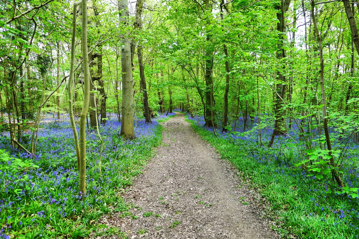
Bisham Woods
Bisham Woods — woodland in Berkshire, England.
 Flagship📷 5
Archaeological sites · East Midlands
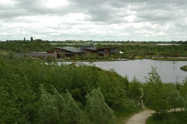
The National Forest
The National Forest — environmental project in central England.
 📷 3
📷 3Archaeological sites · West Midlands
Heart of England Forest
Heart of England Forest — UK non-governmental organization.
 📷 5
📷 5Archaeological sites · Scottish Highlands
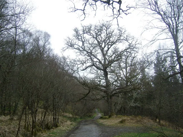
Ariundle Oakwood National Nature Reserve
Ariundle Oakwood National Nature Reserve — forested nature reserve in Highland, Scotland, UK.
More archaeological sites in this region
 📷 3
📷 3Archaeological sites · Northern Ireland
Annalong Forest
Annalong Forest — Forest in County Down, Northern Ireland.
 📷 3
📷 3Archaeological sites · Northern Ireland
Ballysallagh Forest
Ballysallagh Forest — forest in Northern Ireland.
 📷 3
📷 3Archaeological sites · Northern Ireland
Castleward Forest
Castleward Forest — castleward Forest: Northern Ireland.
 📷 4
📷 4Archaeological sites · Northern Ireland
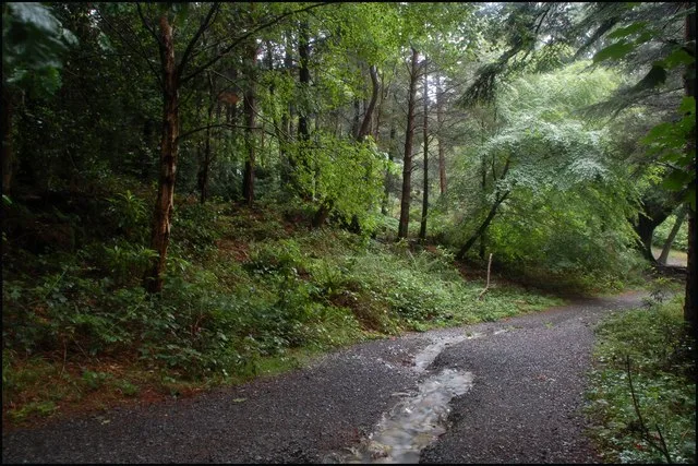
Donard Forest
Donard Forest is a archaeological site in the United Kingdom.
Frequently asked questions
- Where is Tollymore Forest Park?
- Tollymore Forest Park is in Northern Ireland, United Kingdom (postcode BT33 0PW).
- What is Tollymore Forest Park?
- Tollymore Forest Park — park in the United Kingdom.
- How do I get to Tollymore Forest Park?
- Drivers can use postcode BT33 0PW.
- When was Tollymore Forest Park built?
- Built or established in 1955.
- Who owns Tollymore Forest Park?
- Tollymore Forest Park is owned by Forest Service Northern Ireland.
- Is Tollymore Forest Park free to visit?
- Yes, Tollymore Forest Park is free to enter.
- How do I get to Tollymore Forest Park?
- Drivers can navigate to postcode BT33 0PW. It sits within the South Down parliamentary constituency.