Mountains & hills · East Midlands
Bradwell Brook
In or near Little Hucklow.
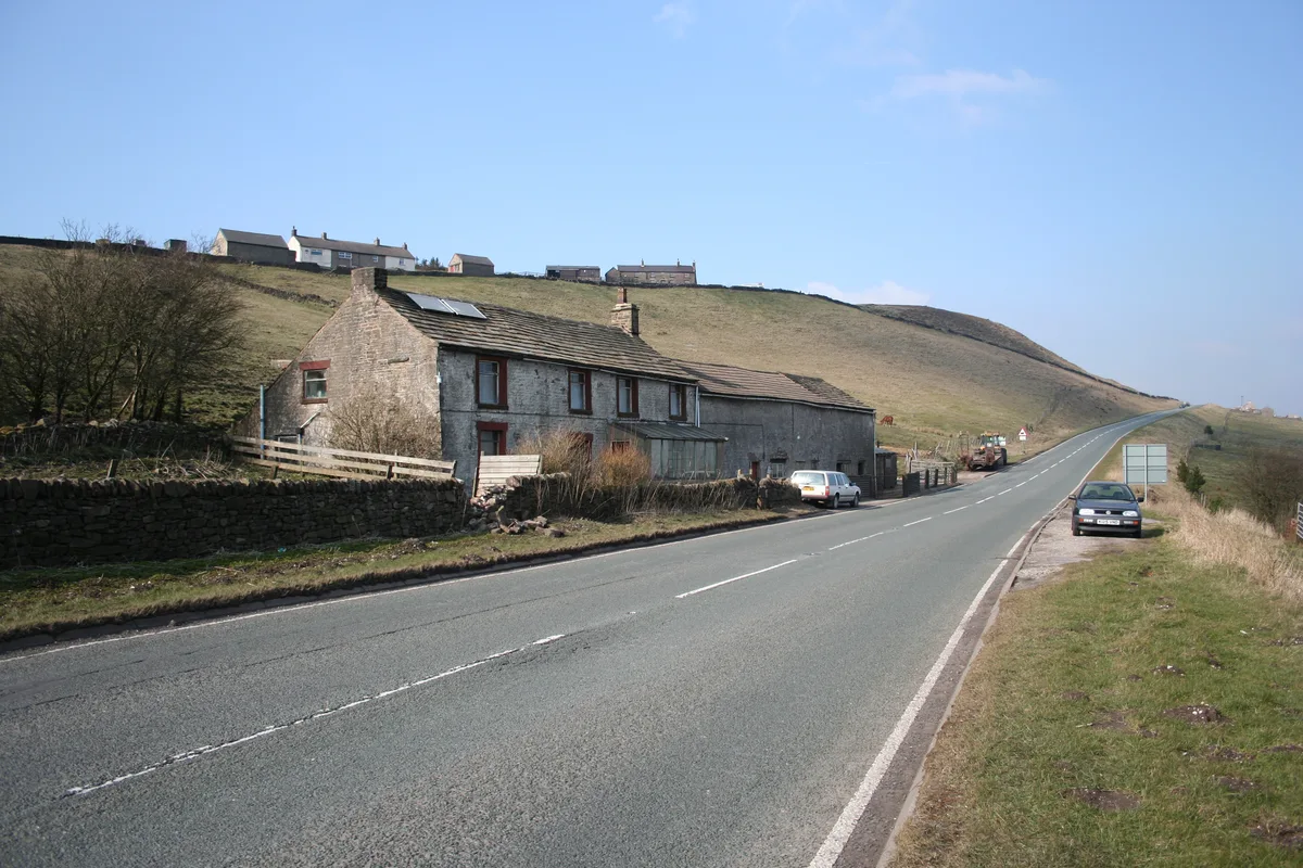
Bradwell Brook is a stream in the Derbyshire Peak District, originating in Bradwell, in a cave known as Bagshawe Resurgence.

Andrew Hill — CC BY-SA 2.0 via Wikimedia Commons licence
Plan your visit
- Typical visit
- 3 h–8 h
- Best time of year
- Late spring – early autumn (May–Oct)
- Nearest railway station
- Hope · 1.4 km
- Free entry
- Dog-friendly
About
Bradwell Brook is a stream in the Derbyshire Peak District, originating in Bradwell, in a cave known as Bagshawe Resurgence.
Photo gallery
From the Wikipedia article
Bradwell Brook is a stream in the Derbyshire Peak District, originating in Bradwell, in a cave known as Bagshawe Resurgence.
Excerpt from Wikipedia under CC BY-SA 4.0. See the source article linked in Sources below.
Background
History
Bradwell Brook flows north through Bradwell, through Brough, before meeting the River Noe south of Aston in the Hope Valley. The Roman fort of Navio is at the confluence of Bradwell Brook and River Noe. Because of its location in the valley, the brook is prone to flooding.
Sourced from Wikipedia under CC BY-SA 4.0.
- Coordinates
- 53.3339, -1.7358
- County
- Derbyshire
- District
- Derbyshire Dales
- Parish
- Bradwell
- Postcode
- S33 9JT
- Parliamentary constituency
- Derbyshire Dales
- Nearest railway station
- Hope — 1.4 km
Sources
- wikipedia: Bradwell Brook (CC BY-SA 4.0)
Other places nearby

Eden Tree Caravan Park
Caravan parks · 0.3 km

Pictorend Sough
Caves · 0.6 km

bradwell memorial hall
Memorials & monuments · 0.7 km

Navio Roman Fort
Archaeological sites · 0.9 km
Roman temple in Hope
Follies · 0.9 km

Bagshawe Resurgence
Caves · 1.0 km
Brough Bridge
Historic bridges · 1.0 km

Bagshawe Cavern
Caves · 1.2 km

Laneside Caravan Park
Campsites · 1.3 km

The Folly
Mountains & hills · 1.3 km

Hardhurst Farm
Campsites · 1.3 km

Bertons Pingles Pipe
Caves · 1.5 km
Nearby
📷 5Caravan parks · East Midlands
Eden Tree Caravan Park
Eden Tree Caravan Park — a caravan park in england east midlands.
📷 5Caves · East Midlands
Pictorend Sough
Pictorend Sough — a cave broad in england-east-midlands, United Kingdom.
📷 3Memorials & monuments · East Midlands
bradwell memorial hall
bradwell memorial hall — a memorial in england-east-midlands, United Kingdom.
📷 3Archaeological sites · East Midlands
Navio Roman Fort
Navio Roman Fort — a archaeological in england-east-midlands, United Kingdom.
📷 5Follies · East Midlands
Roman temple in Hope
Roman temple in Hope — a temple folly in england-east-midlands, United Kingdom.
📷 5Where to eat & stay near Bradwell Brook
Places to stay
📷 5Caravan parks · East Midlands
Eden Tree Caravan Park
Eden Tree Caravan Park — a caravan park in england east midlands.
📷 5Campsites · East Midlands
Laneside Caravan Park
Laneside Caravan Park — a campsite in england east midlands.
📷 5 📷 5
📷 5Caravan parks · East Midlands
Castleton Caravan and Motorhome Club Site
Castleton Caravan and Motorhome Club Site — a caravan park in england east midlands.
 📷 5
📷 5Campsites · East Midlands
Peak Park Conservation Centre
Peak Park Conservation Centre — a campsite in england east midlands.
 📷 5
📷 5Hostels · East Midlands
Technical Speleological Group
Technical Speleological Group — a hostel in england east midlands.
Places to eat & drink
 📷 7
📷 7Historic pubs · East Midlands
The Three Stags' Heads
The Three Stags' Heads in England South East, United Kingdom.
 📷 5
📷 5Historic pubs · East Midlands
The Old Nags Head
The Old Nags Head in England Yorkshire, United Kingdom.
 📷 5
📷 5Historic pubs · East Midlands
The Chequers Inn and attached outbuildings
The Chequers Inn and attached outbuildings in England East Midlands, United Kingdom.
 📷 7
📷 7Historic pubs · Yorkshire & the Humber
The Fox House
The Fox House in England Yorkshire, United Kingdom.
 📷 5
📷 5Historic pubs · East Midlands
The Eyre Arms Public House
The Eyre Arms Public House in England East Midlands, United Kingdom.
 📷 5
📷 5Historic pubs · Yorkshire & the Humber
Norfolk Arms Public House
Norfolk Arms Public House in England Yorkshire, United Kingdom.
More mountains in this region
 📷 5
📷 5Mountains & hills · East Midlands
Errwood Hall
The ruin of Errwood Hall is a popular tourist destination in the scenic Upper Goyt Valley within the Peak District of England.
 📷 3
📷 3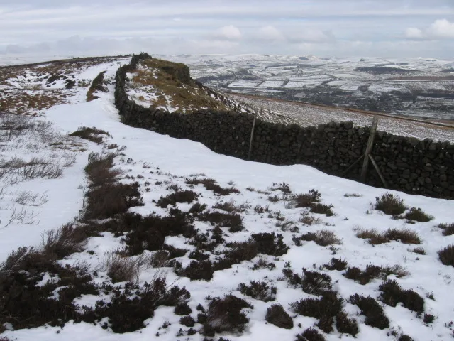 📷 3
📷 3Mountains & hills · East Midlands
Black Edge - Summit
Black Edge - Summit — Named summit at 506.7 m.
Frequently asked questions
- Where is Bradwell Brook?
- Bradwell Brook is in Derbyshire, Yorkshire, United Kingdom (postcode S33 9JT), in the parish of Bradwell.
- What is Bradwell Brook?
- Bradwell Brook is a stream in the Derbyshire Peak District, originating in Bradwell, in a cave known as Bagshawe Resurgence.
- How do I get to Bradwell Brook?
- The nearest railway station is Hope, about 1.4 km away. Drivers can use postcode S33 9JT.
- Is Bradwell Brook free to visit?
- Yes, Bradwell Brook is free to enter.
- How do I get to Bradwell Brook?
- The nearest railway station is Hope, about 1.4 km away. Drivers can navigate to postcode S33 9JT.