Mountains & hills · East Midlands
Black Edge - Summit
Black Edge - Summit — Named summit at 506.7 m.

Wikimedia Commons contributors — see linked file page for photographer and licence licence
Plan your visit
- Typical visit
- 3 h–8 h
- Best time of year
- Late spring – early autumn (May–Oct)
- Nearest railway station
- Dove Holes · 1.5 km
- Free entry
- Dog-friendly
About
Black Edge - Summit is a named summit in the United Kingdom. Wikidata describes it as: "Named summit at 506.7 m.". Coordinates: 53.2914°, -1.9072°.
Photo gallery
From the Wikipedia article
Black Edge is a summit, 507 metres (1,663 ft) high, on a sharp ridgeline above the village of Dove Holes in the Dark Peak area of the Peak District in the county of Derbyshire in England.
Excerpt from Wikipedia under CC BY-SA 4.0. See the source article linked in Sources below.
- Coordinates
- 53.2914, -1.9072
- County
- Derbyshire
- District
- High Peak
- Parish
- Chapel-en-le-Frith
- Postcode
- SK17 8DW
- Parliamentary constituency
- High Peak
- Nearest railway station
- Dove Holes — 1.5 km
Sources
- osm: n8541885813 (ODbL)
- wikipedia: Black Edge (CC BY-SA 4.0)
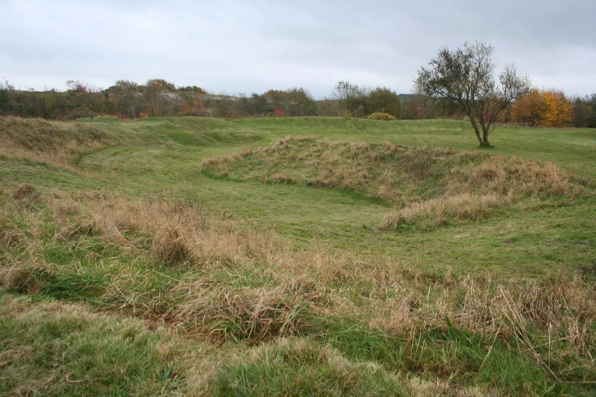
- commons: Black Edge on Combs Moss - geograph.org.uk - 1162062.jpg (CC BY-SA 4.0)
Other places nearby
Loading nearby places…
Nearby
 📷 5
📷 5Caves · East Midlands
Cowlow Pot
Cowlow Pot — a cave broad in england-east-midlands, United Kingdom.
 📷 3
📷 3Memorials & monuments · East Midlands
Dove Holes War Memorial
Dove Holes War Memorial — Grade II listed building-listed memorial in england-east-midlands, United Kingdom.
 📷 3
📷 3Towns & cities · East Midlands
Dove Holes
Dove Holes — village in Derbyshire, England.
Vineyards · East Midlands
Promontory fort on Combs Edge
Promontory fort on Combs Edge — a UK vineyard in england east midlands, producing English or Welsh wine from cool-climate grape varieties.
 📷 3
📷 3Castles · East Midlands
Castle Naze
Castle Naze — a castle in england-east-midlands, United Kingdom.
 📷 3
📷 3Hill forts · East Midlands
The Bull Ring
The Bull Ring — Neolithic henge monument.
More mountains in this region
 📷 3
📷 3Mountains & hills · East Midlands
Axe Edge Moor
Axe Edge Moor — Named summit at 551 m.
Mountains & hills · East Midlands
Beacon Hill
Beacon Hill — Named summit at 244.5 m.
Mountains & hills · East Midlands
Beacon Hill
Beacon Hill — Named summit at 105 m.
 📷 5
📷 5Mountains & hills · East Midlands
Bleaklow Head
Bleaklow Head — Named summit at 633 m.
Frequently asked questions
- Where is Black Edge - Summit?
- Black Edge - Summit is in Derbyshire, the East Midlands, United Kingdom (postcode SK17 8DW), in the parish of Chapel-en-le-Frith.
- Is Black Edge - Summit free to visit?
- Yes, Black Edge - Summit is free to enter.
- How do I get to Black Edge - Summit?
- The nearest railway station is Dove Holes, about 1.5 km away. Drivers can navigate to postcode SK17 8DW.