
Mountains & hills · East Midlands
Axe Edge Moor
In or near Harpur Hill.
Axe Edge Moor — Named summit at 551 m.

Wikimedia Commons contributors — see linked file page for photographer and licence licence

Plan your visit
- Typical visit
- 3 h–8 h
- Best time of year
- Late spring – early autumn (May–Oct)
- Nearest railway station
- Buxton Miniature Railway · 3.4 km
- Free entry
- Dog-friendly
Getting there & planning your visit
To visit Axe Edge Moor, the nearest railway station is Buxton Miniature Railway, located 3.4 km away. The postcode for navigation is SK17 6UJ, and entry is free.
About
Axe Edge Moor is a named summit in the United Kingdom. Wikidata describes it as: "Named summit at 551 m.". Coordinates: 53.2326°, -1.9490°.
Photo gallery
Protected designations
- Site of Special Scientific Interest: Leek Moors SSSI
Designations sourced from Natural England open data under OGL v3.
From the Wikipedia article
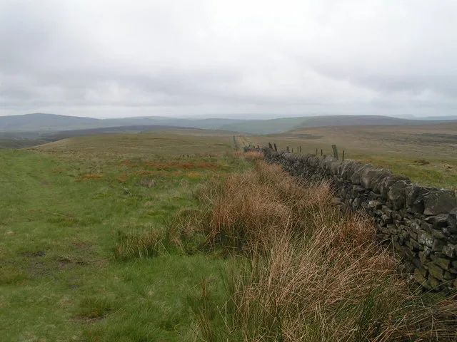
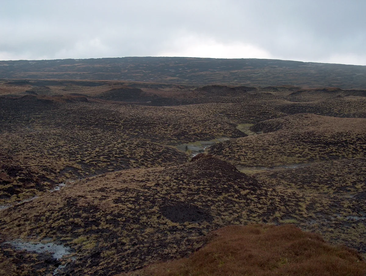
Axe Edge Moor is the major moorland southwest of Buxton in the Peak District, England. It is mainly gritstone (Namurian shale and sandstone). Its highest point (551 metres (1,808 ft)) is at grid reference SK035706. This is slightly lower than Shining Tor (which is some 5 kilometres (3.1 mi) to the northwest, across the modest dip of the incipient Goyt Valley). The moor is the source of the River Dove, River Manifold, River Dane, River Wye and River Goyt. It boasted England's second-highest public house (the Cat and Fiddle Inn), which closed in 2015 before reopening as a distillery. The moor is shared between the counties of Derbyshire, Staffordshire and Cheshire, which meet on its southwestern flank at Three Shire Heads on the Dane. The Axe Edge itself is on the southeastern edge, near the source of the Dove.
Excerpt from Wikipedia under CC BY-SA 4.0. See the source article linked in Sources below.
- Coordinates
- 53.2326, -1.9490
- County
- Derbyshire
- District
- High Peak
- Parish
- High Peak, unparished area
- Postcode
- SK17 6UJ
- Parliamentary constituency
- High Peak
- Nearest railway station
- Buxton Miniature Railway — 3.4 km
Sources
- osm: n2819460275 (ODbL)
- wikipedia: Axe Edge Moor (CC BY-SA 4.0)
- commons: Dove Head 376618 71ea2781.jpg (CC BY-SA 4.0)
Other places nearby
Cheeks Hill
Mountains & hills · 1.1 km

Axe Edge
Mountains & hills · 1.4 km
Axe Edge
Mountains & hills · 1.4 km

Five Stones
Mountains & hills · 1.4 km

Buxton Caravan and Motorhome Club
Caravan parks · 2.0 km

Thirkelow Rocks
Mountains & hills · 2.0 km

Obelisk at Dog Hole Cottage (Dog Hole Cottage not included)
Forts · 2.2 km

Buxton Pavilion Gardens
Gardens · 2.2 km

Pooles Cavern
Caves · 2.2 km

Solomon's Temple
Memorials & monuments · 2.2 km

Grin Low
Mountains & hills · 2.2 km

Grin Low
Mountains & hills · 2.2 km
Nearby
📷 3📷 5📷 5Mountains & hills · East Midlands
Axe Edge
Axe Edge — mountain in england east midlands. Elevation: 549 m.
📷 5Mountains & hills · East Midlands
Five Stones
Five Stones — mountain in england east midlands. Elevation: 529 m.
📷 5Caravan parks · East Midlands
Buxton Caravan and Motorhome Club
Buxton Caravan and Motorhome Club — a caravan park in england east midlands.
📷 5Mountains & hills · East Midlands
Thirkelow Rocks
Thirkelow Rocks — mountain in england east midlands. Elevation: 451 m.
Where to eat & stay near Axe Edge Moor
Places to stay
📷 5Caravan parks · East Midlands
Buxton Caravan and Motorhome Club
Buxton Caravan and Motorhome Club — a caravan park in england east midlands.
 📷 5
📷 5Hotels · East Midlands
Old Hall Hotel
Old Hall Hotel — a hotel in england east midlands.
 📷 5
📷 5Caravan parks · East Midlands
Lime Tree Park
Lime Tree Park — a caravan park in england east midlands.
 📷 5
📷 5Campsites · East Midlands
Cold Springs Farm Campsite
Cold Springs Farm Campsite — a campsite in england east midlands.
📷 5 📷 5
📷 5Caravan parks · East Midlands
Clover Fields Touring Caravan Park
Clover Fields Touring Caravan Park — a caravan park in england east midlands.
Places to eat & drink
 📷 5
📷 5Historic pubs · East Midlands
Cat and Fiddle Inn
Cat and Fiddle Inn in England South East, United Kingdom.
 📷 5
📷 5Historic pubs · West Midlands
Ye Olde Rock Inn
Ye Olde Rock Inn in England West Midlands, United Kingdom.
 📷 5
📷 5Restaurants · West Midlands
Sutton Hall
Sutton Hall — a restaurant in england west midlands.
 📷 5
📷 5Historic pubs · North West England
Lord Byron Public House
Lord Byron Public House in England North West, United Kingdom.
 📷 5
📷 5Historic pubs · North West England
The Castle, Macclesfield
The Castle, Macclesfield in England North West, United Kingdom.
 📷 5
📷 5Historic pubs · North West England
2 and 4, Market Place
2 and 4, Market Place in England North West, United Kingdom.
More mountains in this region
 📷 5
📷 5Mountains & hills · East Midlands
Errwood Hall
The ruin of Errwood Hall is a popular tourist destination in the scenic Upper Goyt Valley within the Peak District of England.
 📷 5
📷 5 📷 3
📷 3Mountains & hills · East Midlands
Black Edge - Summit
Black Edge - Summit — Named summit at 506.7 m.
 📷 5
📷 5Frequently asked questions
- Where is Axe Edge Moor?
- Axe Edge Moor is in Derbyshire, the East Midlands, United Kingdom (postcode SK17 6UJ), in the parish of High Peak, unparished area.
- What is Axe Edge Moor?
- Axe Edge Moor — Named summit at 551 m.
- How do I get to Axe Edge Moor?
- The nearest railway station is Buxton Miniature Railway, about 3.4 km away. Drivers can use postcode SK17 6UJ.
- Is Axe Edge Moor a protected site?
- Yes — Axe Edge Moor is part of the Leek Moors SSSI Site of Special Scientific Interest.
- Is Axe Edge Moor free to visit?
- Yes, Axe Edge Moor is free to enter.
- How do I get to Axe Edge Moor?
- The nearest railway station is Buxton Miniature Railway, about 3.4 km away. Drivers can navigate to postcode SK17 6UJ.