
Mountains & hills · East Midlands
Errwood Hall
In or near Rainow.
The ruin of Errwood Hall is a popular tourist destination in the scenic Upper Goyt Valley within the Peak District of England.

Peter McDermott — CC BY-SA 2.0 via Wikimedia Commons licence

Plan your visit
- Typical visit
- 3 h–8 h
- Best time of year
- Late spring – early autumn (May–Oct)
- Nearest railway station
- Buxton Miniature Railway · 4.8 km
- Free entry
- Dog-friendly
About
The ruin of Errwood Hall is a popular tourist destination in the scenic Upper Goyt Valley within the Peak District of England.
Photo gallery
Protected designations
- Site of Special Scientific Interest: Goyt Valley SSSI
Designations sourced from Natural England open data under OGL v3.
From the Wikipedia article
The ruin of Errwood Hall is a popular tourist destination in the scenic Upper Goyt Valley within the Peak District of England.
Excerpt from Wikipedia under CC BY-SA 4.0. See the source article linked in Sources below.
Background
History
Errwood Hall was built in the 1830s by Samuel Grimshawe, a wealthy Manchester businessman, and was occupied by the Grimshawe family for the next hundred years. The hall was the centre of a thriving estate of over 2000 acre, consisting of several farms, a school, the Cat and Fiddle Inn, a private coal mine and the hamlet of Goyt's Bridge. The family planted many specimen trees including an abundance of azaleas and rhododendrons. Samuel’s grandchildren were the last members of the family to live in the hall, which was later demolished in connection with the construction of the Fernilee Reservoir in 1934. Stones from the demolished hall were used to construct the water treatment works below…
Visiting
Of the hall, only the foundations to ground floor level, and a few sections of wall, now survive. These have been consolidated and are in the care of the Peak Park Authority. On a hilltop a few hundred metres to the west of the hall ruins is the family graveyard, restored by North West Water in the 1980s. To the north of the hall is a small shrine or chapel, erected by the Grimshawe family to the memory of Miss Dolores de Ybarguen, a Spanish aristocrat who was the teacher at the estate school and governess to the Grimshaw family and who died on a visit to Lourdes. The shrine is still regularly used for private acts of devotion, intercession and remembrance. The rhododendrons planted by the…
Sourced from Wikipedia under CC BY-SA 4.0.
- Coordinates
- 53.2695, -1.9873
- Nearest railway station
- Buxton Miniature Railway — 4.8 km
Sources
- wikipedia: Errwood Hall (CC BY-SA 4.0)
Other places nearby

Errwood Hall
Archaeological sites · 0.1 km

Errwood Reservoir
Reservoirs & lochs · 0.9 km

Foxlow Edge
Mountains & hills · 1.0 km
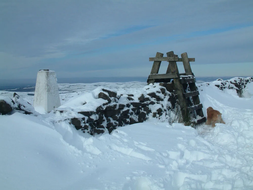
Shining Tor
Mountains & hills · 1.8 km

Cats Tor
Mountains & hills · 1.9 km

Fernilee Reservoir
Reservoirs & lochs · 2.2 km
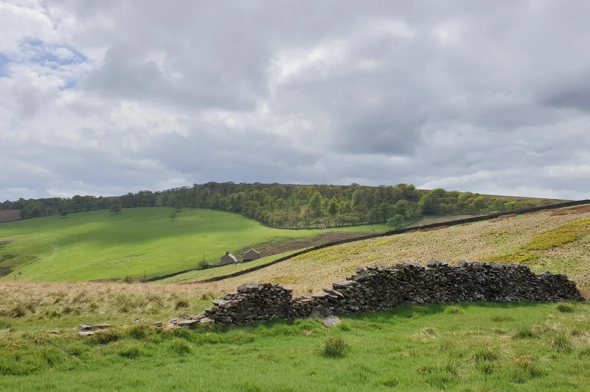
Burbage Edge
Mountains & hills · 2.5 km

3 obelisks within the gardens of Edgemoor (Edgemoor not included)
Forts · 2.9 km
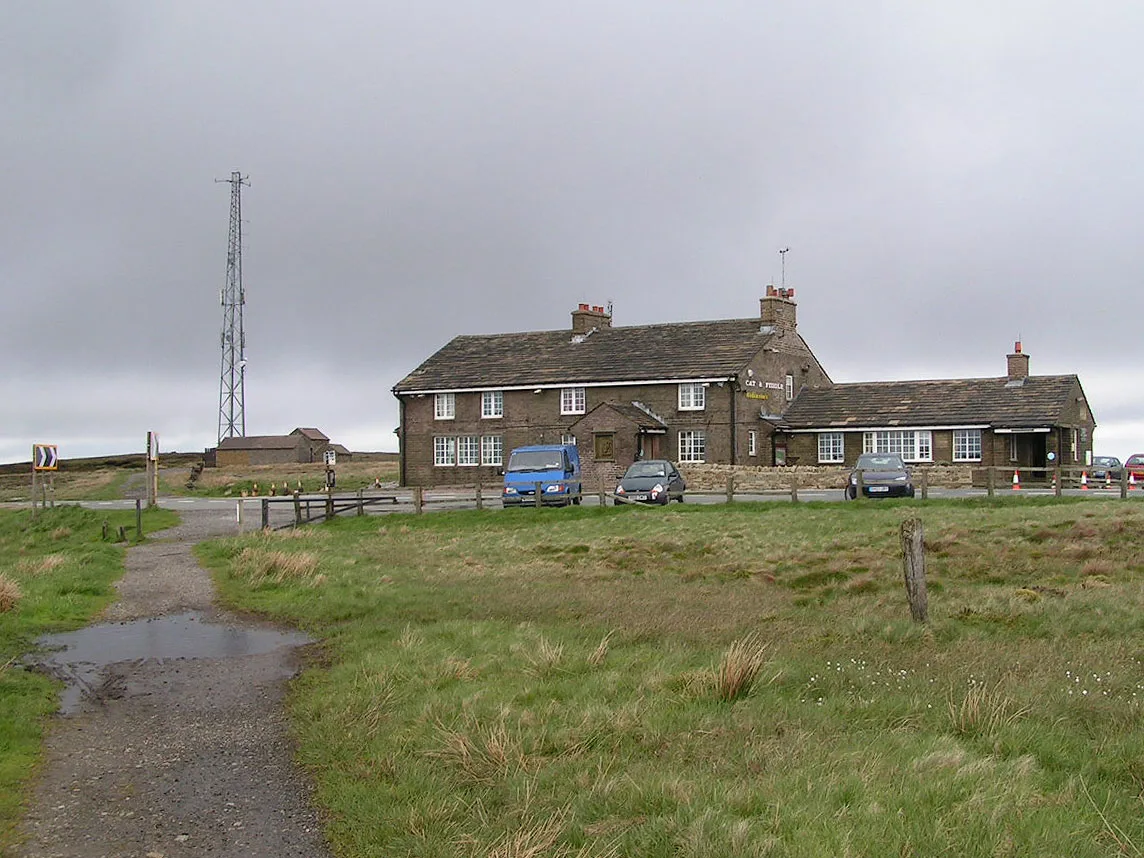
Cat & Fiddle
Distilleries · 2.9 km

Cat and Fiddle Inn
Historic pubs · 2.9 km

Combs Head - North West Top
Mountains & hills · 3.1 km
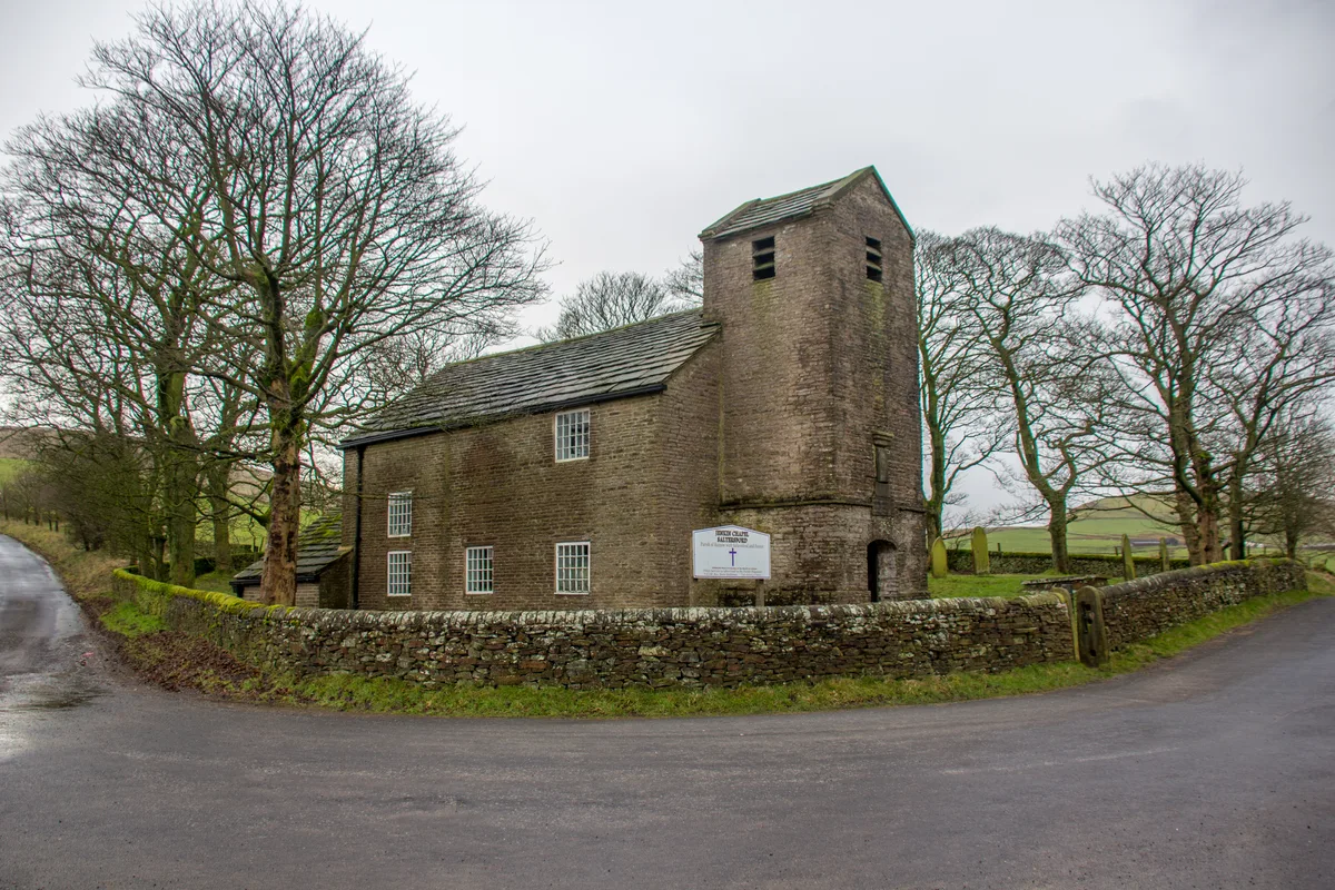
Jenkin Chapel
Historic churches · 3.2 km
Nearby
📷 5Archaeological sites · East Midlands
Errwood Hall
Errwood Hall — archaeological in england east midlands.
📷 3Reservoirs & lochs · East Midlands
Errwood Reservoir
Errwood Reservoir — reservoir in Derbyshire, England, UK.
📷 5Mountains & hills · East Midlands
Foxlow Edge
Foxlow Edge — mountain in england east midlands. Elevation: 452 m.
📷 3📷 5Mountains & hills · West Midlands
Cats Tor
Cats Tor — mountain in england west midlands. Elevation: 519 m.
📷 3Reservoirs & lochs · East Midlands
Fernilee Reservoir
Fernilee Reservoir — reservoir in Derbyshire, England, UK.
Where to eat & stay near Errwood Hall
Places to stay
 📷 5
📷 5Campsites · East Midlands
Cold Springs Farm Campsite
Cold Springs Farm Campsite — a campsite in england east midlands.
 📷 5
📷 5Caravan parks · East Midlands
Buxton Caravan and Motorhome Club
Buxton Caravan and Motorhome Club — a caravan park in england east midlands.
 📷 5
📷 5Hotels · East Midlands
Old Hall Hotel
Old Hall Hotel — a hotel in england east midlands.
 📷 5
📷 5Campsites · East Midlands
Combs Valley Campsite
Combs Valley Campsite — a campsite in england east midlands.
 📷 5
📷 5Caravan parks · East Midlands
Lime Tree Park
Lime Tree Park — a caravan park in england east midlands.
📷 5Places to eat & drink
📷 5Historic pubs · East Midlands
Cat and Fiddle Inn
Cat and Fiddle Inn in England South East, United Kingdom.
 📷 5
📷 5Restaurants · West Midlands
Sutton Hall
Sutton Hall — a restaurant in england west midlands.
 📷 5
📷 5Historic pubs · North West England
Lord Byron Public House
Lord Byron Public House in England North West, United Kingdom.
 📷 5
📷 5Historic pubs · North West England
2 and 4, Market Place
2 and 4, Market Place in England North West, United Kingdom.
 📷 7
📷 7Historic pubs · North West England
George Hotel Public House
George Hotel Public House in England North West, United Kingdom.
 📷 5
📷 5Historic pubs · North West England
The Castle, Macclesfield
The Castle, Macclesfield in England North West, United Kingdom.
More mountains in this region
 📷 3
📷 3 📷 5
📷 5 📷 3
📷 3Mountains & hills · East Midlands
Black Edge - Summit
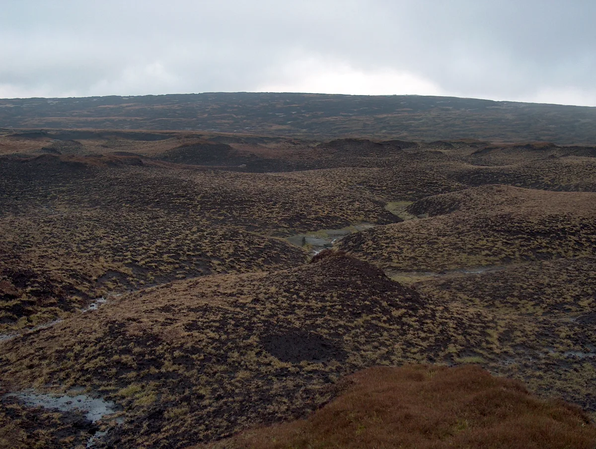
Black Edge - Summit — Named summit at 506.7 m.
 📷 5
📷 5Frequently asked questions
- Where is Errwood Hall?
- Errwood Hall is in South-East England, United Kingdom.
- What is Errwood Hall?
- The ruin of Errwood Hall is a popular tourist destination in the scenic Upper Goyt Valley within the Peak District of England.
- How do I get to Errwood Hall?
- The nearest railway station is Buxton Miniature Railway, about 4.8 km away. Its coordinates are 53.2695°, -1.9873°.
- Is Errwood Hall a protected site?
- Yes — Errwood Hall is part of the Goyt Valley SSSI Site of Special Scientific Interest.
- Is Errwood Hall free to visit?
- Yes, Errwood Hall is free to enter.
- How do I get to Errwood Hall?
- The nearest railway station is Buxton Miniature Railway, about 4.8 km away.