
Mountains & hills · East Midlands
The Wash
Also known as: Y Wash
The Wash is a mountain or hill in the United Kingdom.

Wikimedia Commons contributors — see linked file page for photographer and licence licence

Plan your visit
- Typical visit
- 3 h–8 h
- Best time of year
- Late spring – early autumn (May–Oct)
- Free entry
- Dog-friendly
About
The Wash is a named summit in the United Kingdom. Heritage designation: Ramsar site. Part of North Sea. Coordinates: 52.9167°, 0.2500°.
Photo gallery
Protected designations
- Site of Special Scientific Interest: The Wash SSSI
- Ramsar wetland: The Wash
Designations sourced from Natural England open data under OGL v3.
From the Wikipedia article
The Wash is a shallow natural rectangular bay and multiple estuary on the east coast of England in the United Kingdom. It is an inlet of the North Sea and is the largest multiple estuary system in the UK, as well as being the largest natural bay in England, and is the outflow for the rivers Witham, Welland, Nene and the Great Ouse. It is also one of the most important conservation areas in Europe, with several nature reserves within this area. The coastline is partly in Lincolnshire and partly in Norfolk. The Lincolnshire side forms part of the only coastline of the East Midlands region, whilst the Norfolk side forms the north-west corner of the East Anglian region. The coastline stretches from Gibraltar Point just south of the seaside town of Skegness to Gore Point near the village of Holme-next-the-Sea, just east of the seaside town of Hunstanton in Norfolk. These two points are over 75 miles (121 km) from each other by road, but only eleven and a half miles (18.5 km) by sea. The bay comprises multiple estuaries, marshland, deep-water channels (particularly the Boston and Lynn Deeps), and shifting shallow-water channels, all surrounded by sandbanks. There are several large settlements near its coastline, the largest is the town of King's Lynn in Norfolk, followed by the two slightly smaller towns of Boston in Lincolnshire and Wisbech in Cambridgeshire. These are the three main inland ports in the Wash area; a fourth smaller port is also available for shipping on the River Nene at Sutton Bridge, and a small marina for pleasure craft is also accessible on the tidal River Welland at Fosdyke Bridge. Nearby, on either side of the Wash at almost opposite ends to each other, are the seaside towns of Skegness which is located on the top of the Lincolnshire side just north of Gibraltar Point and Hunstanton on the top of the Norfolk side north of the nearby royal estate of Sandringham.
Excerpt from Wikipedia under CC BY-SA 4.0. See the source article linked in Sources below.
- Coordinates
- 52.9167, 0.2500
Sources
- wikidata: Q1463998 (CC0)
- wikipedia: The Wash (CC BY-SA 4.0)
- commons: Snettishamroost 2590.jpg (CC BY-SA 4.0)
Other places nearby
Loading nearby places…
Nearby
 📷 3
📷 3Natural landmarks · East Midlands
The Trap
The Trap — a natural feature in england east midlands.
 📷 5
📷 5Historic churches · East Midlands
River Nene
River Nene — a church in england-east-midlands, United Kingdom.
 📷 3
📷 3Memorials & monuments · East Midlands
War Memorial in the Churchyard of Christ Church, Gedney Dawsmere
War Memorial in the Churchyard of Christ Church, Gedney Dawsmere — Grade II listed building-listed memorial in england-east-midlands, United Kingdom.
 📷 3
📷 3Memorials & monuments · East Midlands
John Saul with Dulcie Saul
John Saul with Dulcie Saul — a memorial in england-east-midlands, United Kingdom.
 📷 3
📷 3Lighthouses · East Midlands
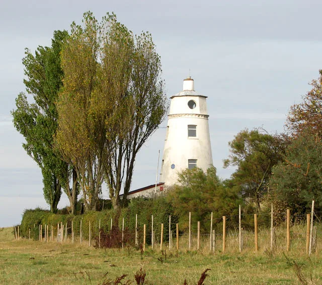
East Bank Lighthouse
East Bank Lighthouse — lighthouse in South Holland, England.
 📷 3
📷 3Natural landmarks · East Midlands
East Bank picnic site
East Bank picnic site — a other in england-east-midlands, United Kingdom.
More mountains in this region
 📷 3
📷 3Mountains & hills · East Midlands
Axe Edge Moor
Axe Edge Moor — Named summit at 551 m.
 📷 5
📷 5Mountains & hills · East Midlands
Beacon Hill
Beacon Hill — Named summit at 244.5 m.
 📷 3
📷 3Mountains & hills · East Midlands
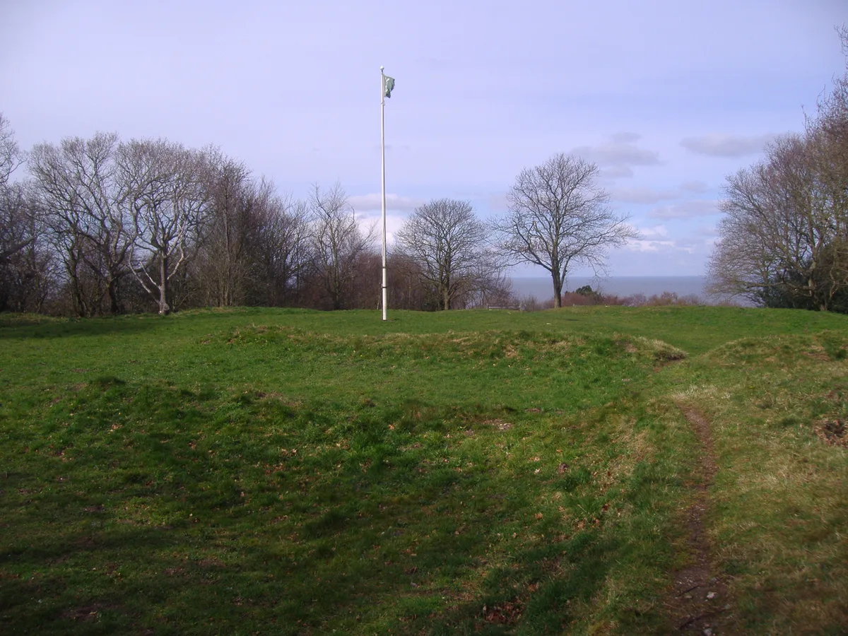
Beacon Hill
Beacon Hill — Named summit at 105 m.
 📷 3
📷 3Mountains & hills · East Midlands
Black Edge - Summit
Black Edge - Summit — Named summit at 506.7 m.
Frequently asked questions
- Where is The Wash?
- The Wash is in the East Midlands, United Kingdom.
- What is The Wash?
- The Wash is a mountain or hill in the United Kingdom.
- How do I get to The Wash?
- Its coordinates are 52.9167°, 0.2500°.
- Is The Wash a listed building?
- The Wash is officially recognised as Ramsar site listed.
- Is The Wash a protected site?
- Yes — The Wash is part of the The Wash SSSI Site of Special Scientific Interest and the The Wash Ramsar wetland.
- Is The Wash free to visit?
- Yes, The Wash is free to enter.