Natural landmarks · East Midlands
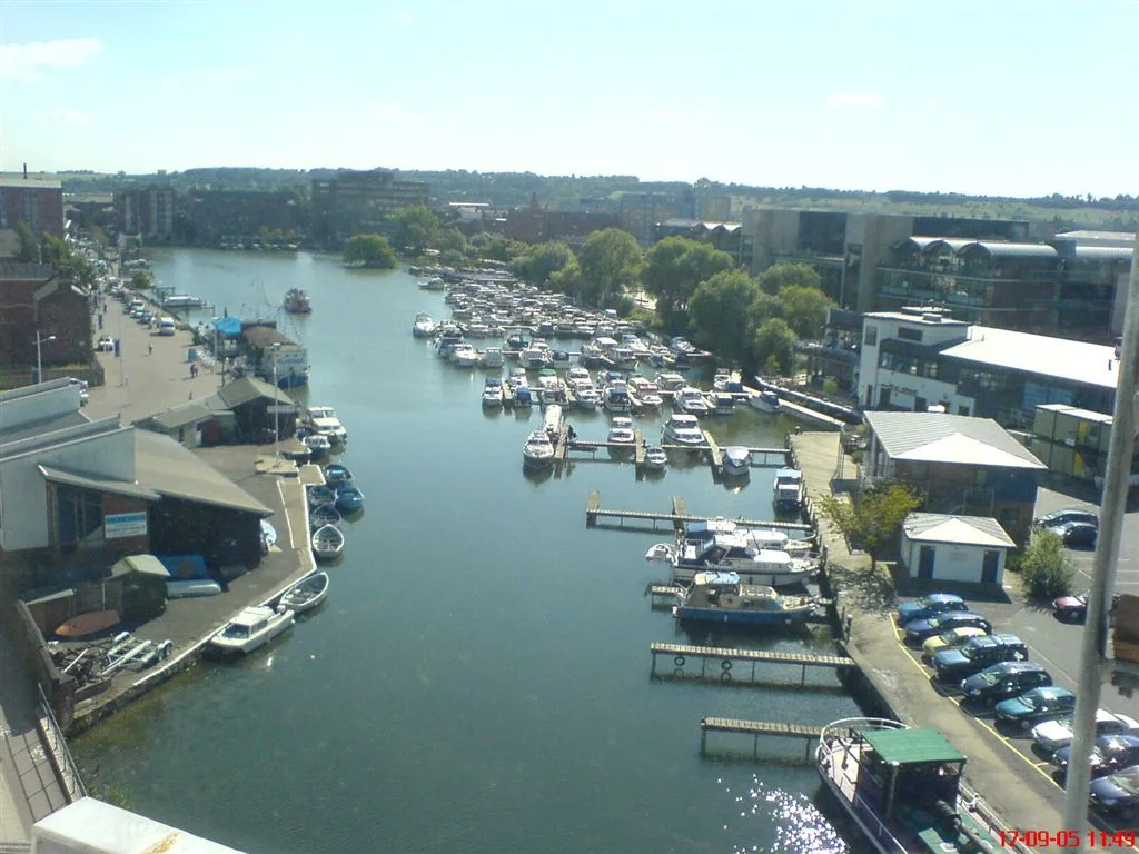
The Trap
The Trap — a natural feature in england east midlands.

Ian Paterson — CC BY-SA 2.0 via Wikimedia Commons licence
Plan your visit
- Typical visit
- 1 h–2 h
About
The Trap is a named natural feature in england east midlands, recorded in the GeoNames UK gazetteer. British landmarks of this type are typically marked on Ordnance Survey maps and recorded in the national gazetteer for cartographic and navigational reference. Coordinates and feature classification are sourced from the GeoNames open dataset.
Photo gallery
Place summary
The Trap is a natural landmark located in the East Midlands. This site is characterised by its unique geological features and is notable for its scenic views of the surrounding landscape. It is a point of interest for those exploring the natural beauty of the region. The area may also offer opportunities for walking and wildlife observation.
AI-generated from the structured facts on this page (operator, designation, listing, era). Not a substitute for visiting.
- Coordinates
- 52.9667, 0.2167
Sources
- manual: geonames-2635561 (CC BY 4.0)
Other places nearby
Loading nearby places…
Nearby
 📷 5
📷 5Mountains & hills · East Midlands
The Wash
The Wash is a mountain or hill in the United Kingdom.
 📷 3
📷 3Memorials & monuments · East Midlands
John Saul with Dulcie Saul
John Saul with Dulcie Saul — a memorial in england-east-midlands, United Kingdom.
 📷 3
📷 3Castles · East Midlands
Wrangle Hall
Wrangle Hall — a castle in england-east-midlands, United Kingdom.
 📷 3
📷 3Wildlife reserves · East Midlands
Freiston Shore RSPB reserve
Freiston Shore RSPB reserve — RSPB nature reserve in Lincolnshire.
 📷 5
📷 5Museums · East Midlands
Freiston Shore
Freiston Shore is a settlement in the Borough of Boston, in Lincolnshire, England. It is in the civil parish of Freiston, and approximately 4 miles (6 km) east from Boston.
 📷 3
📷 3Mills · East Midlands
Wrangle Mill
Wrangle Mill — mill in Wrangle, Boston, Lincolnshire, England, UK.
Where to eat & stay near The Trap
Places to stay
 📷 5
📷 5Hotels · East Midlands
Plummer's Hotel
Plummer's Hotel — a hotel in england east midlands.
 📷 5
📷 5Caravan parks · East Midlands
Green Haven Holidays
Green Haven Holidays — a caravan park in england east midlands.
 📷 5
📷 5Caravan parks · East Midlands
Manor Bungalow CL
Manor Bungalow CL — a caravan park in england east midlands.
 📷 5
📷 5Campsites · East Midlands
Pilgrims Way
Pilgrims Way — a campsite in england east midlands.
 📷 5
📷 5Caravan parks · East Midlands
Long Acres Touring Park
Long Acres Touring Park — a caravan park in england east midlands.
 📷 5
📷 5Hotels · East Midlands
The White Hart Hotel
The White Hart Hotel — a hotel in england east midlands.
Places to eat & drink
 📷 5
📷 5Restaurants · East Midlands
Captain Cod Fish and Chip Restaurant
Captain Cod Fish and Chip Restaurant — a restaurant in england east midlands.
 📷 5
📷 5Cafés · East Midlands
New Taste
New Taste — a café in england east midlands.
 📷 5
📷 5Restaurants · East Midlands
Churches
Churches — a restaurant in england east midlands.
 📷 5
📷 5Restaurants · East Midlands
The Lifeboat Inn
The Lifeboat Inn — a restaurant in england east midlands.
More natural landmarks in this region
 📷 3
📷 3Natural landmarks · East Midlands
Alderfen Broad
Alderfen Broad — lake in the United Kingdom.
 📷 3
📷 3Natural landmarks · East Midlands
Barton Broad
Barton Broad — lake in the United Kingdom.
 📷 5
📷 5Natural landmarks · East Midlands
Bleaklow
Bleaklow — mountain in Derbyshire, England, UK.
 📷 5
📷 5Natural landmarks · East Midlands
Brayford Pool
Brayford Pool — lake in the United Kingdom.
Frequently asked questions
- Where is The Trap?
- The Trap is in the East Midlands, United Kingdom.
- What is The Trap?
- The Trap — a natural feature in england east midlands.
- How do I get to The Trap?
- Its coordinates are 52.9667°, 0.2167°.