
Natural landmarks · East of England
Barton Broad
In or near Irstead.
Barton Broad — lake in the United Kingdom.

Wikimedia Commons contributors — see linked file page for photographer and licence licence

Plan your visit
- Typical visit
- 1 h–2 h
- Nearest railway station
- Wroxham BVR · 6.4 km
- Free entry
- Dog-friendly
Getting there & planning your visit
To visit Barton Broad, the nearest railway station is Wroxham BVR, located 6.4 km away. Entry is free. The postcode for sat-nav is NR12 8XS.
About
Barton Broad is a named natural landmark in the United Kingdom. Wikidata describes it as: "lake in the United Kingdom". Coordinates: 52.7386°, 1.4960°.
Photo gallery
Protected designations
- Site of Special Scientific Interest: Ant Broads and Marshes SSSI
- National Nature Reserve: ANT BROADS AND MARSHES
- Area of Outstanding Natural Beauty: Norfolk Coast
- Ramsar wetland: Broadland
Designations sourced from Natural England open data under OGL v3.
From the Wikipedia article
Barton Broad is a large lake that forms part of the River Ant which gives its name to a 164-hectare (410-acre) nature reserve north-east of Norwich in Norfolk. The reserve is owned and managed by the Norfolk Wildlife Trust. It is part of the Ant Broads and Marshes Site of Special Scientific Interest and National Nature Reserve, and part of it is in the Ant Marshes Nature Conservation Review site, Grade I. It is part of the Broadland Ramsar site and Special Protection Area, and The Broads Special Area of Conservation.
Excerpt from Wikipedia under CC BY-SA 4.0. See the source article linked in Sources below.
Background
History
During the 13th and 14th centuries, large quantities of peat were extracted in Norfolk, and most of the peat extraction was organised by the monks of St Benet's Abbey, the ruins of which are located on the bank of the River Bure, a short distance downstream from its junction with the River Ant. Barton Broad was created in this way in the Middle Ages, and the River Ant was diverted through the peat workings in around 1730, to allow navigation. The activity of the monks was forgotten, but in 1834 Samuel Woodward suggested that the broads might be artificial, rather than naturally occurring features, after studies of Barton Broad. There are several staithes connected to the broad by channels,…
Sourced from Wikipedia under CC BY-SA 4.0.
- Coordinates
- 52.7386, 1.4960
- County
- Norfolk
- District
- North Norfolk
- Parish
- Barton Turf
- Postcode
- NR12 8XS
- Parliamentary constituency
- North Norfolk
- Nearest railway station
- Wroxham BVR — 6.4 km
Sources
- wikidata: Q2886137 (CC0)
- wikipedia: Barton Broad (CC BY-SA 4.0)
- commons: Barton Broad.jpg (CC BY-SA 4.0)
Other places nearby

Barton Broad Boardwalk
Viewpoints · 0.6 km

Catfield Fen Reserve
Wildlife reserves · 0.9 km

Irstead
Towns & cities · 1.1 km
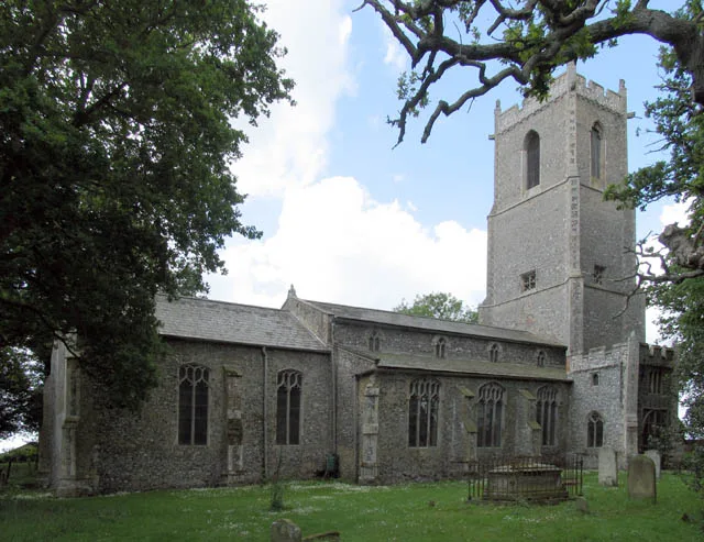
Barton Turf
Towns & cities · 1.3 km

Barton Turf Village Sign
Public art & sculpture · 1.3 km
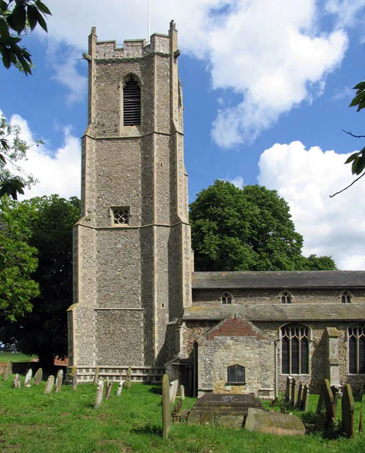
St Michael and All Angels Church
Historic churches · 1.8 km

Neatishead
Villages · 2.0 km

Alderfen Broad
Natural landmarks · 2.0 km

Catfield War Memorial
Memorials & monuments · 2.1 km

Neatishead Village Sign
Public art & sculpture · 2.1 km
Street Hill Camping
Campsites · 2.1 km

Crome's Broad
Natural landmarks · 2.2 km
Nearby
📷 3Viewpoints · East of England
Barton Broad Boardwalk
Barton Broad Boardwalk is a viewpoint in the United Kingdom.
📷 5Wildlife reserves · East of England
Catfield Fen Reserve
Catfield Fen Reserve — nature reserve in Norfolk, England, UK.
📷 5Flagship📷 5📷 3Public art & sculpture · East of England
Barton Turf Village Sign
Barton Turf Village Sign — a public art in england-east-midlands, United Kingdom.
📷 5Historic churches · East of England
St Michael and All Angels Church
St Michael and All Angels Church — Grade I listed church in Barton Turf, Norfolk, England, UK.
Where to eat & stay near Barton Broad
Places to stay
📷 5Campsites · East of England
Street Hill Camping
Street Hill Camping — a campsite in england east midlands.
 📷 5
📷 5 📷 5
📷 5Caravan parks · East of England
Bush House Farm
Bush House Farm — a caravan park in england east midlands.
 📷 5
📷 5Caravan parks · East of England
Heather House Farm
Heather House Farm — a caravan park in england east midlands.
 📷 5
📷 5Campsites · East of England
Hickling Campsite
Hickling Campsite — a campsite in england east midlands.
📷 5Caravan parks · East of England
Heath Barn Certificated Location
Heath Barn Certificated Location — a caravan park in england east midlands.
Places to eat & drink
 📷 7
📷 7Historic pubs · East of England
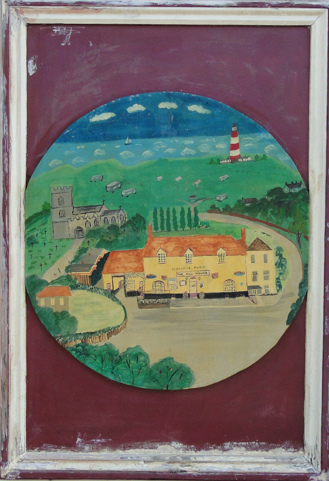
Recruiting Sergeant Inn
Recruiting Sergeant Inn in England East, United Kingdom.
 📷 5
📷 5 📷 5
📷 5 📷 5
📷 5Historic pubs · East of England
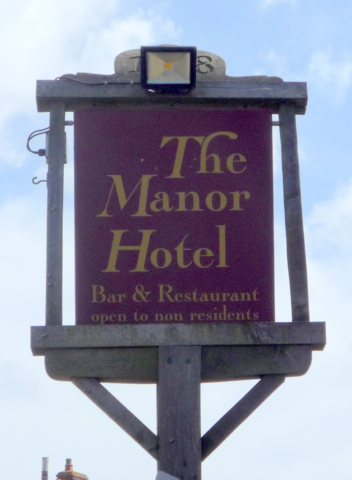
The White Swan
The White Swan in England East, United Kingdom.
 📷 5
📷 5Historic pubs · East of England
Manor Hotel, Mundesley
Manor Hotel, Mundesley in England East, United Kingdom.
 📷 5
📷 5More natural landmarks in this region
 📷 5
📷 5Natural landmarks · East of England
Orton Mere
Orton Mere — lake in Peterborough, Cambridgeshire, England, UK.
 📷 5
📷 5Natural landmarks · East of England
Magog Down
Magog Down — a other in england-london, United Kingdom.
 📷 5
📷 5Natural landmarks · East of England
Abington Pottery
Abington Pottery — a other in england-london, United Kingdom.
 📷 5
📷 5Natural landmarks · East of England
Car Dyke
Car Dyke — a other in england-london, United Kingdom.
Frequently asked questions
- Where is Barton Broad?
- Barton Broad is in Norfolk, East of England, United Kingdom (postcode NR12 8XS), in the parish of Barton Turf.
- What is Barton Broad?
- Barton Broad — lake in the United Kingdom.
- How do I get to Barton Broad?
- The nearest railway station is Wroxham BVR, about 6.4 km away. The nearest town is Irstead. Drivers can use postcode NR12 8XS.
- Who owns Barton Broad?
- Barton Broad is owned by Norfolk Wildlife Trust.
- Is Barton Broad a protected site?
- Yes — Barton Broad is part of the Ant Broads and Marshes SSSI Site of Special Scientific Interest and the ANT BROADS AND MARSHES National Nature Reserve.
- Is Barton Broad free to visit?
- Yes, Barton Broad is free to enter.
- How do I get to Barton Broad?
- The nearest railway station is Wroxham BVR, about 6.4 km away. Drivers can navigate to postcode NR12 8XS.