
Museums · East Midlands
Freiston Shore
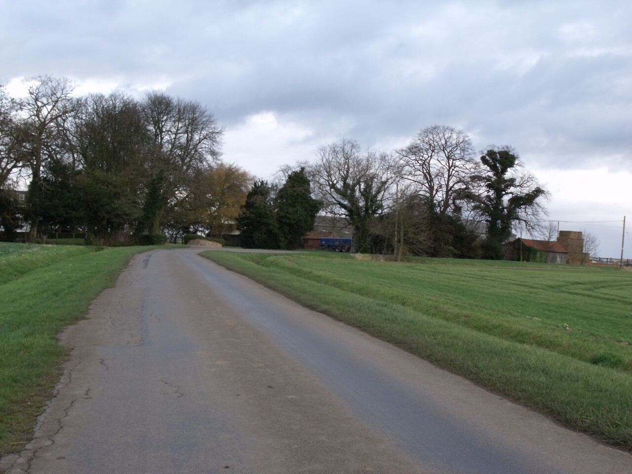
Freiston Shore is a settlement in the Borough of Boston, in Lincolnshire, England. It is in the civil parish of Freiston, and approximately 4 miles (6 km) east from Boston.

JThomas — CC BY-SA 2.0 via Wikimedia Commons licence

Plan your visit
- Typical visit
- 1.5 h–3 h
- Best time of year
- Year-round
- Nearest railway station
- Boston · 7.6 km
- Family-friendly
- Limited wheelchair access
About
Freiston Shore is a settlement in the Borough of Boston, in Lincolnshire, England. It is in the civil parish of Freiston, and approximately 4 miles (6 km) east from Boston.
Photo gallery
Protected designations
- Site of Special Scientific Interest: The Wash SSSI
- Ramsar wetland: The Wash
Designations sourced from Natural England open data under OGL v3.
From the Wikipedia article
Freiston Shore is a settlement in the Borough of Boston, in Lincolnshire, England. It is in the civil parish of Freiston, and approximately 4 miles (6 km) east from Boston.
Excerpt from Wikipedia under CC BY-SA 4.0. See the source article linked in Sources below.
Background
History
In the late 18th and early 19th centuries, Freiston's sandy shore on The Wash was developed as a sea bathing resort. By the mid-19th century there were horse races and other attractions on the beach. However, the process of coastal accretion caused a salt marsh to develop, leaving hotels without customers. Since the mid-20th century, more marsh has been enclosed behind sea banks for use as arable land. During the Second World War, defences were constructed around Freiston Shore as a part of British anti-invasion preparations of World War II. A number of pillboxes, gun emplacements and coastal lights were constructed. The remains of these fortifications can be seen today including a Ruck…
Sourced from Wikipedia under CC BY-SA 4.0.
- Coordinates
- 52.9620, 0.0790
- County
- Lincolnshire
- District
- Boston
- Parish
- Freiston
- Postcode
- PE22 0LZ
- Parliamentary constituency
- Boston and Skegness
- Nearest railway station
- Boston — 7.6 km
- Official site
- www.rspb.org.uk
Sources
- wikipedia: Freiston Shore (CC BY-SA 4.0)
Other places nearby

Freiston Shore RSPB reserve
Wildlife reserves · 0.0 km

Plummer's Hotel
Hotels · 0.2 km

Royal Artillery plinth
Memorials & monuments · 0.5 km
We'll Meet Again
Museums · 0.5 km

Freiston Mill
Mills · 0.7 km

Miramar House
Historic houses · 1.5 km

Freiston
Villages · 2.4 km

Freiston War Memorial And Railings
Memorials & monuments · 2.5 km

Butterwick Mill
Mills · 3.2 km

Church of St Guthlac
Historic churches · 3.3 km

Fishtoft Manor
Manor houses · 3.3 km

Freiston Bridge
Historic bridges · 3.3 km
Nearby
📷 3Wildlife reserves · East Midlands
Freiston Shore RSPB reserve
Freiston Shore RSPB reserve — RSPB nature reserve in Lincolnshire.
📷 5📷 3Memorials & monuments · East Midlands
Royal Artillery plinth
Royal Artillery plinth — a memorial in england-east-midlands, United Kingdom.
📷 3Museums · East Midlands
We'll Meet Again
We'll Meet Again — a museum in england-east-midlands, United Kingdom.
📷 3Mills · East Midlands
Freiston Mill
Freiston Mill — mill in Freiston, Boston, Lincolnshire, England, UK.
📷 3Historic houses · East Midlands
Miramar House
Miramar House — house in Freiston, Boston, Lincolnshire, England, UK.
Where to eat & stay near Freiston Shore
Places to stay
📷 5 📷 5
📷 5 📷 5
📷 5Hotels · East Midlands
The White Hart Hotel
The White Hart Hotel — a hotel in england east midlands.
 📷 5
📷 5Campsites · East Midlands
Meadowvale Park
Meadowvale Park — a campsite in england east midlands.
 📷 5
📷 5Caravan parks · East Midlands
Hall Hills Park
Hall Hills Park — a caravan park in england east midlands.
 📷 5
📷 5Caravan parks · East Midlands
Long Acres Touring Park
Long Acres Touring Park — a caravan park in england east midlands.
Places to eat & drink
 📷 5
📷 5Restaurants · East Midlands
Captain Cod Fish and Chip Restaurant
Captain Cod Fish and Chip Restaurant — a restaurant in england east midlands.
 📷 5
📷 5 📷 5
📷 5 📷 5
📷 5Historic pubs · East Midlands
The Old King's Head
The Old King's Head in England East, United Kingdom.
 📷 5
📷 5Historic pubs · East Midlands
Number 18, Formerly The Cock And Magpie Public House
Number 18, Formerly The Cock And Magpie Public House in England East, United Kingdom.
 📷 5
📷 5More museums in this region
 📷 5
📷 5Museums · East Midlands
Stamford Town Hall
Stamford Town Hall — building in Stamford, Lincolnshire, England, UK.
 📷 5
📷 5Museums · East Midlands
Thorney Museum
Thorney Museum — a museum in england-london, United Kingdom.
 📷 5
📷 5Museums · East Midlands
Octavia Hill Birthplace Museum
Octavia Hill Birthplace Museum — a museum in england-london, United Kingdom.
 📷 5
📷 5Museums · East Midlands
Museum of Technology
Museum of Technology — a museum in england-london, United Kingdom.
Frequently asked questions
- Where is Freiston Shore?
- Freiston Shore is in Lincolnshire, the East Midlands, United Kingdom (postcode PE22 0LZ), in the parish of Freiston.
- What is Freiston Shore?
- Freiston Shore is a settlement in the Borough of Boston, in Lincolnshire, England. It is in the civil parish of Freiston, and approximately 4 miles (6 km) east from Boston.
- How do I get to Freiston Shore?
- The nearest railway station is Boston, about 7.6 km away. Drivers can use postcode PE22 0LZ.
- Is Freiston Shore a protected site?
- Yes — Freiston Shore is part of the The Wash SSSI Site of Special Scientific Interest and the The Wash Ramsar wetland.
- How do I get to Freiston Shore?
- The nearest railway station is Boston, about 7.6 km away. Drivers can navigate to postcode PE22 0LZ.