
Mountains & hills · East Midlands
The Roaches
In or near Quarnford.
The Roaches — Named summit at 505 m.

Wikimedia Commons contributors — see linked file page for photographer and licence licence
.jpg)
Plan your visit
- Typical visit
- 3 h–8 h
- Best time of year
- Late spring – early autumn (May–Oct)
- Nearest railway station
- Hunthouse Wood · 6.9 km
- Free entry
- Dog-friendly
Getting there & planning your visit
The Roaches is located in Staffordshire, with the postcode SK17 0SY. The nearest railway station is Hunthouse Wood, which is 6.9 km away. Entry is free.
About
The Roaches is a named summit in the United Kingdom. Wikidata describes it as: "Named summit at 505 m.". Coordinates: 53.1721°, -1.9999°.
Photo gallery
Protected designations
- Site of Special Scientific Interest: Leek Moors SSSI
Designations sourced from Natural England open data under OGL v3.
From the Wikipedia article
The Roaches (from the French les roches – the rocks) is a prominent rocky ridge above Leek and Tittesworth Reservoir in the Staffordshire Peak District of England. The ridge with its rock formations rises steeply to 505 m (1,657 ft). Along with Ramshaw Rocks and Hen Cloud, from Old English Henge Clud, meaning "steep rock", they form a gritstone escarpment, which is popular with hikers, rock climbers and freerunners. It is often very busy especially at weekends. The Roaches Estate was purchased by the Peak District National Park Authority in the 1980s to safeguard the area from adverse development. From May 2013 Staffordshire Wildlife Trust took on the management of the Roaches Estate. In clear conditions, it is possible to see much of Cheshire and views stretching as far as Snowdon in Wales and Winter Hill in Lancashire. The Roaches are the most prominent part of a curving ridge which extends for several miles from Hen Cloud in the south to Back Forest and Hangingstone in the northwest. At the top there is a small pool called Doxey Pool that is, according to legend, inhabited by a water spirit. Nearby are the broad hills of Gun and Morridge.
Excerpt from Wikipedia under CC BY-SA 4.0. See the source article linked in Sources below.
Background
Description
The Winking Man rock formation (also known as the Winking Eye) is one of the buttresses at Ramshaw Rocks east of The Roaches. It can be seen from the Leek–Buxton road (A53) about 5 miles outside Leek. A slender rib of rock jutting out from the buttress is pierced by a natural hole. The silhouette of the rib against the sky looks like a face sticking out of the hillside, and to the traveller driving past in a car towards Buxton the 'eye' appears to wink, as another pinnacle of rock passes behind the face as a consequence of parallax.
Sourced from Wikipedia under CC BY-SA 4.0.
- Coordinates
- 53.1721, -1.9999
- County
- Staffordshire
- District
- Staffordshire Moorlands
- Parish
- Quarnford
- Postcode
- SK17 0SY
- Parliamentary constituency
- Staffordshire Moorlands
- Nearest railway station
- Hunthouse Wood — 6.9 km
Sources
- osm: n376013453 (ODbL)
- wikipedia: The Roaches (CC BY-SA 4.0)
- commons: Valkyrie (The Roaches).jpg (CC BY-SA 4.0)
Other places nearby

The Roaches Climbing
Climbing & bouldering crags · 1.2 km

Gradbach Hill
Mountains & hills · 1.4 km
Gradbach Hill
Mountains & hills · 1.4 km

Gib Torr Rocks
Natural landmarks · 1.8 km

Back Forest Edge
Climbing & bouldering crags · 1.9 km

Black Brook
Wildlife reserves · 2.0 km

Windygates Hall
Historic houses · 2.1 km

The Cottage
Hostels · 2.1 km
The Farmhouse
Hostels · 2.2 km
Gradbach Scout Camp
Campsites · 2.2 km
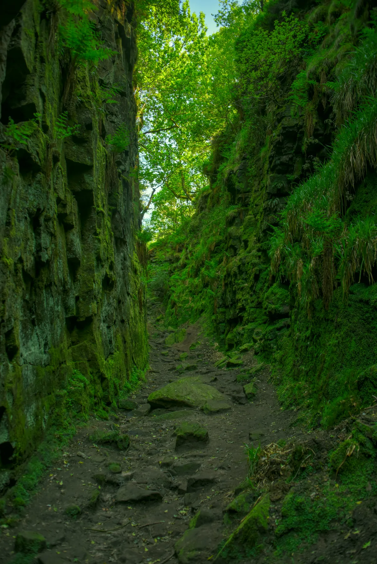
Lud's Church
Mountains & hills · 2.2 km

Ramshaw Rocks
Mountains & hills · 2.4 km
Nearby
📷 5Climbing & bouldering crags · East Midlands
The Roaches Climbing
The Roaches Climbing — a climbing crag in england east midlands.
📷 5Mountains & hills · West Midlands
Gradbach Hill
Gradbach Hill — a hill or mountain in england west midlands.
📷 5Mountains & hills · West Midlands
Gradbach Hill
Gradbach Hill — mountain in england west midlands. Elevation: 399 m.
📷 3Natural landmarks · East Midlands
Gib Torr Rocks
Gib Torr Rocks — a place in East Midlands, United Kingdom.
📷 5Climbing & bouldering crags · West Midlands
Back Forest Edge
Back Forest Edge — a climbing crag in england west midlands.
📷 5Wildlife reserves · East Midlands
Black Brook
Black Brook — nature reserve in Staffordshire, UK.
Where to eat & stay near The Roaches
Places to stay
📷 5📷 5📷 5Campsites · West Midlands
Gradbach Scout Camp
Gradbach Scout Camp — a campsite in england west midlands.
 📷 5
📷 5Caravan parks · West Midlands
Lapwing Hall Farm
Lapwing Hall Farm — a caravan park in england west midlands.
 📷 5
📷 5Hostels · East Midlands
Roaches Bunkhouse
Roaches Bunkhouse — a hostel in england east midlands.
 📷 5
📷 5Caravan parks · East Midlands
Blackshaw Moor Caravan Site
Blackshaw Moor Caravan Site — a caravan park in england east midlands.
Places to eat & drink
 📷 5
📷 5Historic pubs · West Midlands
Ye Olde Rock Inn
Ye Olde Rock Inn in England West Midlands, United Kingdom.
 📷 7
📷 7Historic pubs · West Midlands
Green Dragon, Leek
Green Dragon, Leek in England North West, United Kingdom.
 📷 5
📷 5Historic pubs · West Midlands
Bird In Hand Public House
Bird In Hand Public House in England North West, United Kingdom.
 📷 5
📷 5Historic pubs · West Midlands
The Quiet Woman Public House
The Quiet Woman Public House in England North West, United Kingdom.
 📷 5
📷 5Historic pubs · East Midlands
Cat and Fiddle Inn
Cat and Fiddle Inn in England South East, United Kingdom.
 📷 5
📷 5Restaurants · West Midlands
Sutton Hall
Sutton Hall — a restaurant in england west midlands.
More mountains in this region
 📷 5
📷 5Mountains & hills · East Midlands
Errwood Hall
The ruin of Errwood Hall is a popular tourist destination in the scenic Upper Goyt Valley within the Peak District of England.
 📷 3
📷 3 📷 5
📷 5 📷 3
📷 3Mountains & hills · East Midlands
Black Edge - Summit
Black Edge - Summit — Named summit at 506.7 m.
Frequently asked questions
- Where is The Roaches?
- The Roaches is in Staffordshire, the East Midlands, United Kingdom (postcode SK17 0SY), in the parish of Quarnford.
- What is The Roaches?
- The Roaches — Named summit at 505 m.
- How do I get to The Roaches?
- The nearest railway station is Hunthouse Wood, about 6.9 km away. The nearest town is Quarnford. Drivers can use postcode SK17 0SY.
- Is The Roaches a protected site?
- Yes — The Roaches is part of the Leek Moors SSSI Site of Special Scientific Interest.
- Is The Roaches free to visit?
- Yes, The Roaches is free to enter.
- How do I get to The Roaches?
- The nearest railway station is Hunthouse Wood, about 6.9 km away. Drivers can navigate to postcode SK17 0SY.