
Parks · West Midlands
Stoneleigh Park
In or near Ashow.
Stoneleigh Park, known between 1963 and 2013 as the National Agricultural Centre, is a business park located south-west of the village of Stoneleigh, Warwickshire, England. It is home to the NAEC Ston

Brian Snelson from Hockley, Essex, England — CC BY 2.0 via Wikimedia Commons licence
.jpg)
Plan your visit
- Typical visit
- 1 h–2 h
- Nearest railway station
- Kenilworth · 3.1 km
- Free entry
- Family-friendly
- Dog-friendly
About
Stoneleigh Park, known between 1963 and 2013 as the National Agricultural Centre, is a business park located south-west of the village of Stoneleigh, Warwickshire, England. It is home to the NAEC Stoneleigh conference and exhibition centre.
Photo gallery
From the Wikipedia article
Stoneleigh Park, known between 1963 and 2013 as the National Agricultural Centre, is a business park located south-west of the village of Stoneleigh, Warwickshire, England. It is home to the NAEC Stoneleigh conference and exhibition centre.
Excerpt from Wikipedia under CC BY-SA 4.0. See the source article linked in Sources below.
Background
History
The park was once part of the much larger Stoneleigh Abbey estate which was created in 1154 when Henry II granted land in the Forest of Arden to a group of Cistercians monks from Staffordshire. It was separated from the rest of the estate and developed only in 1963 when the Royal Agricultural Society of England decided to permanently base their previous nomadic Royal Show there, after it had been on tour annually since 1839. The popular annual Town and Country Festival started on the site in 1973. In 1978 it hosted the outdoor European Archery Championships, being the first UK venue to do so. 2003 saw the National Farmers' Union of England and Wales move their headquarters to the park. The…
Sourced from Wikipedia under CC BY-SA 4.0.
- Coordinates
- 52.3430, -1.5270
- County
- Warwickshire
- District
- Warwick
- Parish
- Stoneleigh
- Postcode
- CV8 2LG
- Parliamentary constituency
- Kenilworth and Southam
- Nearest railway station
- Kenilworth — 3.1 km
Sources
- wikipedia: Stoneleigh Park (CC BY-SA 4.0)
Other places nearby

River Sowe
Museums · 0.6 km

Stoneleigh Abbey Gatehouse
Abbeys & priories · 0.7 km
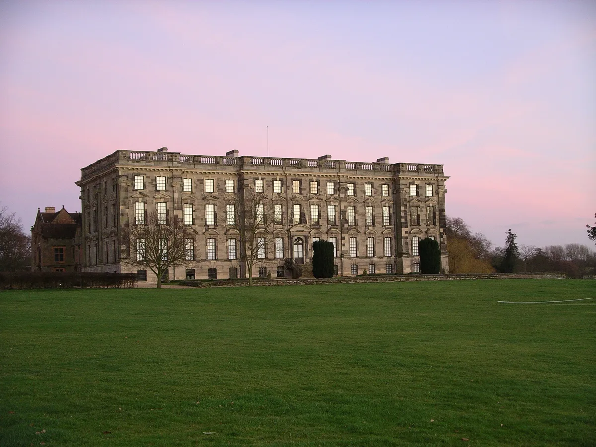
Stoneleigh Abbey
Abbeys & priories · 0.7 km

Stoneleigh Abbey
Cathedrals · 0.7 km

Stare Bridge
Historic bridges · 0.7 km

Stoneleigh Motslow Hill
Castles · 0.8 km

Mill Bridge 200 Metres South-West Of The Abbey
Historic bridges · 0.9 km

Motslow Hill Mound
Archaeological sites · 0.9 km

Stoneleigh
Villages · 1.0 km
C19 Iron Bridge And Cascade 320 Metres South-West Of Abbey
Waterfalls · 1.1 km

Church of Saint Mary, Stoneleigh
Historic churches · 1.1 km

Stoneleigh, Warwickshire
Museums · 1.3 km
Nearby
📷 5Museums · West Midlands
River Sowe
The River Sowe is a river in Warwickshire and West Midlands, England. It is a tributary of the River Avon, and flows into it just south of Stoneleigh about 5 miles (8 km) south of Coventry. The Sowe
📷 4Abbeys & priories · West Midlands
Stoneleigh Abbey Gatehouse
Stoneleigh Abbey Gatehouse — a Grade I-listed abbey in england-west-midlands, United Kingdom.
📷 3Abbeys & priories · West Midlands
Stoneleigh Abbey
Stoneleigh Abbey — country house in Stoneleigh, Warwickshire, England, UK.
Flagship📷 4Cathedrals · West Midlands
Stoneleigh Abbey
Stoneleigh Abbey is a cathedral in the United Kingdom.
📷 3Historic bridges · West Midlands
Stare Bridge
Stare Bridge is a historic bridge in the United Kingdom.
📷 5Castles · West Midlands
Stoneleigh Motslow Hill
Stoneleigh Motslow Hill — a castle in england west midlands.
Where to eat & stay near Stoneleigh Park
Places to stay
 📷 5
📷 5 📷 7
📷 7Hotels · West Midlands
The Angel Hotel
The Angel Hotel — a hotel in england west midlands.
 📷 6
📷 6Hotels · West Midlands
The Regent Hotel
The Regent Hotel — a hotel in england west midlands.
 📷 7
📷 7Hotels · West Midlands
Ramada Hotel & Suites Coventry
Ramada Hotel & Suites Coventry — a hotel in england west midlands. 4-star. Brand: Ramada.
 📷 6
📷 6Hotels · West Midlands
Telegraph Hotel
Telegraph Hotel — a hotel in england west midlands.
 📷 5
📷 5Hotels · West Midlands
Premier Inn
Premier Inn — a hotel in england west midlands.
Places to eat & drink
 📷 5
📷 5Historic pubs · West Midlands
The Coventry Cross Inn (The North East Section)
The Coventry Cross Inn (The North East Section) in England West Midlands, United Kingdom.
 📷 5
📷 5Historic pubs · West Midlands
The Famous Virgins and Castle
The Famous Virgins and Castle — Historic pub — listed building or notable heritage status.
 📷 5
📷 5Historic pubs · West Midlands
The Malt Shovel
The Malt Shovel — Historic pub — listed building or notable heritage status.
 📷 7📷 6
Restaurants · West Midlands
Harringtons on the Hill
Harringtons on the Hill — a restaurant in england west midlands.
 📷 5
📷 5Historic pubs · West Midlands
Queen & Castle
Queen & Castle — Historic pub — listed building or notable heritage status.
More parks in this region
 📷 5
📷 5Parks · West Midlands
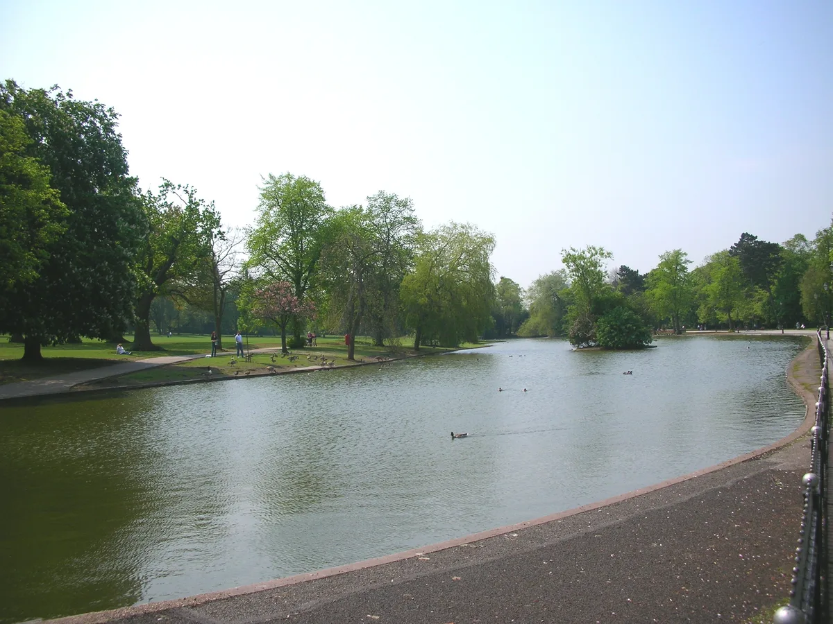
Cannon Hill Park
Cannon Hill Park — public park in Birmingham, West Midlands, England, UK.
 📷 5
📷 5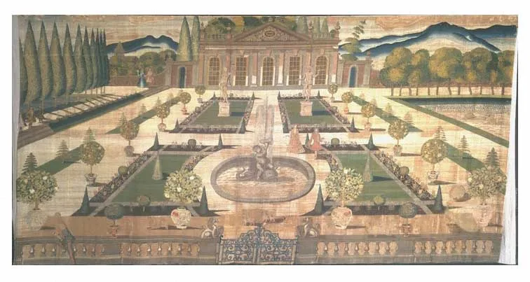 📷 3
📷 3Parks · West Midlands
Stoke Edith House
Stoke Edith House — country house in Stoke Edith, Herefordshire, England, UK.
 📷 4
📷 4Parks · West Midlands
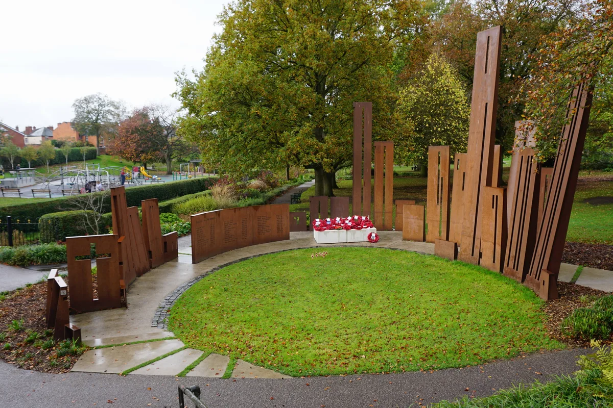
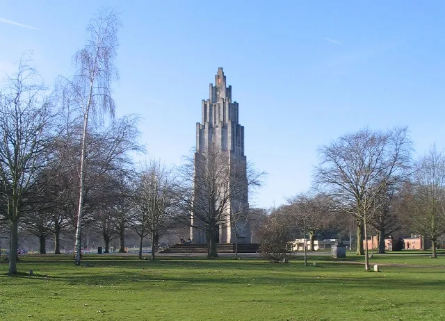
War Memorial Park
War Memorial Park is a park in the United Kingdom.
Frequently asked questions
- Where is Stoneleigh Park?
- Stoneleigh Park is in Warwickshire, the West Midlands, United Kingdom (postcode CV8 2LG), in the parish of Stoneleigh.
- What is Stoneleigh Park?
- Stoneleigh Park, known between 1963 and 2013 as the National Agricultural Centre, is a business park located south-west of the village of Stoneleigh, Warwickshire, England. It is home to the NAEC Ston
- How do I get to Stoneleigh Park?
- The nearest railway station is Kenilworth, about 3.1 km away. Drivers can use postcode CV8 2LG.
- Is Stoneleigh Park free to visit?
- Yes, Stoneleigh Park is free to enter.
- How do I get to Stoneleigh Park?
- The nearest railway station is Kenilworth, about 3.1 km away. Drivers can navigate to postcode CV8 2LG.