
Mountains & hills · South West England
Penn Moor
In or near Cornwood.
Penn Moor — a hill or mountain in england south west.

Chris Andrews — CC BY-SA 2.0 via Wikimedia Commons licence

Plan your visit
- Typical visit
- 3 h–8 h
- Best time of year
- Late spring – early autumn (May–Oct)
- Nearest railway station
- Ivybridge · 9.1 km
- Dog-friendly
About
A British hill or mountain, named on Ordnance Survey maps and walked by hill-baggers. Penn Moor is a named hill or mountain in england south west, recorded in the GeoNames UK gazetteer. British landmarks of this type are typically marked on Ordnance Survey maps and recorded in the national gazetteer for cartographic and navigational reference. Coordinates and feature classification are sourced from the GeoNames open dataset.
Photo gallery
Protected designations
- Site of Special Scientific Interest: South Dartmoor SSSI
Designations sourced from Natural England open data under OGL v3.
Place summary
Penn Moor is a mountain located in South-West England. It is characterised by its rugged terrain and scenic views, making it a notable feature of the landscape in the region. The area is popular for outdoor activities such as hiking and nature observation. Visitors can expect a variety of trails suitable for different skill levels, providing opportunities to explore the natural beauty of the moorland environment.
AI-generated from the structured facts on this page (operator, designation, listing, era). Not a substitute for visiting.
- Coordinates
- 50.4644, -3.9698
- Nearest railway station
- Ivybridge — 9.1 km
Sources
- manual: geonames-12616658 (CC BY 4.0)
Other places nearby

Hentor Warren boundary stone standing 200m south east of Hen Tor
Windmills · 1.0 km

Hentor Warren boundary stone standing on Lee Moor 860m south west of Hen Tor
Windmills · 1.5 km

Yealm Steps
Waterfalls · 1.7 km
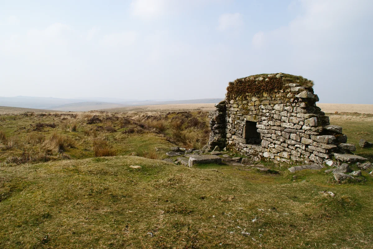
Eylesbarrow mine
Hill forts · 1.7 km
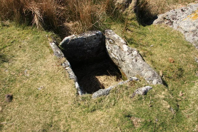
Grim's Grave cairn with a cist, Langcombe
Hill forts · 2.1 km
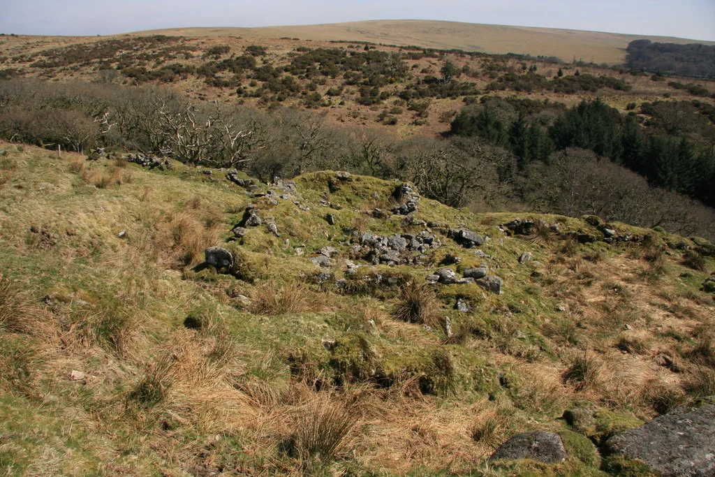
Deserted post-medieval farmstead and part of the surrounding field system at High House Waste
Archaeological sites · 2.3 km

Great Trowlesworthy Tor
Mountains & hills · 2.4 km
.jpg?width=1200)
A prehistoric settlement with cairns and a historic tin mill, streamwork and buildings lying adjacent to the Langcombe Brook
Archaeological sites · 2.4 km
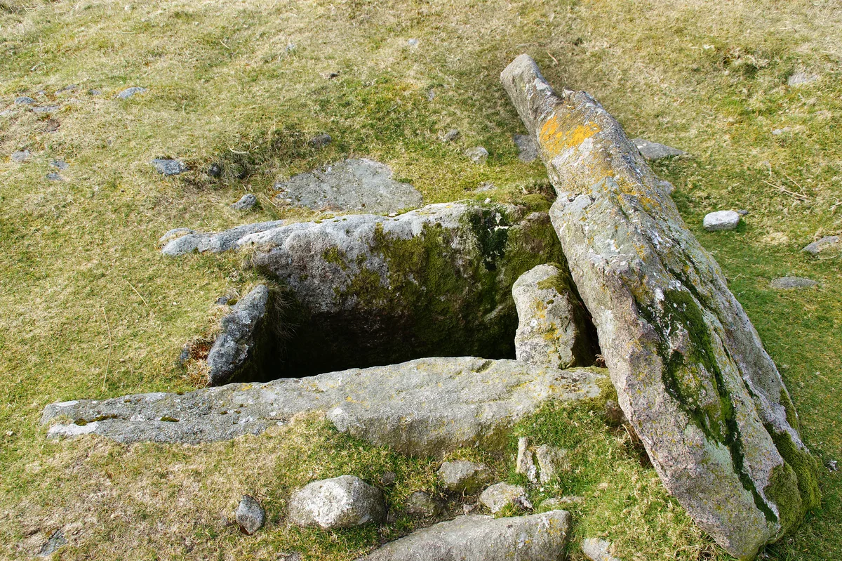
Drizzlecombe
Hill forts · 2.6 km

Giants Basin
Archaeological sites · 2.6 km

Drizzlecombe South Row
Archaeological sites · 2.6 km
Drizzlecombe Bronze Age Complex
Archaeological sites · 2.6 km
Nearby
📷 5Windmills · South West England
Hentor Warren boundary stone standing 200m south east of Hen Tor
Hentor Warren boundary stone standing 200m south east of Hen Tor — a post mill in england-south-west, United Kingdom.
📷 5Windmills · South West England
Hentor Warren boundary stone standing on Lee Moor 860m south west of Hen Tor
Hentor Warren boundary stone standing on Lee Moor 860m south west of Hen Tor — a post mill in england-south-west, United Kingdom.
📷 5Hill forts · South West England
Eylesbarrow mine
Eylesbarrow mine — tin mine on Dartmoor, Devon, England, UK.
📷 5Hill forts · South West England
Grim's Grave cairn with a cist, Langcombe
Grim's Grave cairn with a cist, Langcombe — archaeological site in Shaugh Prior, South Hams, England, UK.
📷 5Archaeological sites · South West England
Deserted post-medieval farmstead and part of the surrounding field system at High House Waste
Deserted post-medieval farmstead and part of the surrounding field system at High House Waste — archaeological site in Cornwood, South Hams, England, UK.
Where to eat & stay near Penn Moor
Places to stay
 📷 5📷 5
Hostels · South West England
Harford Bunkhouse
Harford Bunkhouse — a hostel in england south west.
 📷 5
📷 5B&Bs · South West England
Tor Royal B&B
Tor Royal B&B — a bed-and-breakfast in england south west.
 📷 5
📷 5Campsites · South West England
Plume of Feathers Campsite
Plume of Feathers Campsite — a campsite in england south west.
 📷 5
📷 5Campsites · South West England
Smithaleigh Caravan And Camping Park
Smithaleigh Caravan And Camping Park — a campsite in england south west.
 📷 5
📷 5Places to eat & drink
 📷 5
📷 5Cafés · South West England
Station House
Station House — a café in england south west.
 📷 7
📷 7Historic pubs · South West England
St Elizabeth's House
St Elizabeth's House in England South West, United Kingdom.
 📷 5
📷 5Restaurants · South West England
Toby Carvery
Toby Carvery — a restaurant in england south west. Cuisine: british. Brand: Toby Carvery.
 📷 5
📷 5Historic pubs · South West England
Church House Inn
Church House Inn in England South West, United Kingdom.
 📷 7
📷 7Historic pubs · South West England
White Hart Hotel And The Assembly Rooms
White Hart Hotel And The Assembly Rooms in England South West, United Kingdom.
 📷 5
📷 5Restaurants · South West England
Furzeleigh Mill
Furzeleigh Mill — a restaurant in england south west.
More mountains in this region
 📷 5
📷 5 📷 5
📷 5 📷 5
📷 5 📷 5
📷 5Frequently asked questions
- Where is Penn Moor?
- Penn Moor is in South-West England, United Kingdom.
- What is Penn Moor?
- Penn Moor — a hill or mountain in england south west.
- How do I get to Penn Moor?
- The nearest railway station is Ivybridge, about 9.1 km away. Its coordinates are 50.4644°, -3.9698°.
- Is Penn Moor a protected site?
- Yes — Penn Moor is part of the South Dartmoor SSSI Site of Special Scientific Interest.