
Hill forts · South West England
Eylesbarrow mine
In or near Cornwood.
Eylesbarrow mine — tin mine on Dartmoor, Devon, England, UK.

Wikimedia Commons contributors — see linked file page for photographer and licence licence

Plan your visit
- Typical visit
- 1 h–2 h
- Free entry
- Dog-friendly
About
Eylesbarrow mine is a hill fort in the United Kingdom. Heritage designation: scheduled monument. Wikidata describes it as: "tin mine on Dartmoor, Devon, England, UK". Coordinates: 50.4800°, -3.9700°.
Photo gallery
Protected designations
- Site of Special Scientific Interest: South Dartmoor SSSI
Designations sourced from Natural England open data under OGL v3.
From the Wikipedia article
Eylesbarrow mine was a tin mine on Dartmoor, Devon, England that was active during the first half of the 19th century. In its early years it was one of the largest and most prosperous of the Dartmoor tin mines, along with Whiteworks and the Birch Tor and Vitifer mines. Its name has several variant spellings, such as Eylesburrow, Ailsborough, Ellisborough, Hillsborough etc. It was also known as Wheal Ruth for a short period around 1850. The extensive remains lie to the north of the River Plym, less than 1 mile (1.6 km) north-east of Drizzlecombe, on the southern shoulder of the hill called Eylesbarrow on top of which are two prominent Bronze Age barrows.
Excerpt from Wikipedia under CC BY-SA 4.0. See the source article linked in Sources below.
Background
History
Streaming and open-cast mining for tin have taken place in this part of Dartmoor for many centuries. It is believed that the industry on the moor was at its peak as early as the 12th century. For instance, in 1168, men from the nearby village of Sheepstor are known to have been "tinners". but by this time working for tin on the moor was already in decline, probably because of the exhaustion of the easily accessible deposits. Revival came in the late 1780s, fired by the needs and innovations of the industrial revolution. but the first documentary evidence is an offer for sale of shares in a mine called "Ailsborough" in 1804, and records of tin dues paid from 1806 to 1810. By 1814 demand had…
Description
As a matter of principle a power source (such as a waterwheel) is installed as close as possible to the equipment that it drives (such as a water pump), to minimise the inevitable loss of power incurred in its transmission. When the distance between source and target is significant an efficient means of transferring the power is necessary, and in the 19th century the best method available was the flatrod system. This was used at a number of mines and consisted of a series of linked iron or wooden rods connected to a crank on a waterwheel (or steam engine). The crank converted the circular motion of the wheel into an oscillatory back-and-forth motion of the rods which, suitably supported,…
Sourced from Wikipedia under CC BY-SA 4.0.
- Coordinates
- 50.4800, -3.9700
Sources
- wikidata: Q5422916 (CC0)
- wikipedia: Eylesbarrow mine (CC BY-SA 4.0)
- commons: Eylesbarrow remains.JPG (CC BY-SA 4.0)
Other places nearby
.jpg?width=1200)
A prehistoric settlement with cairns and a historic tin mill, streamwork and buildings lying adjacent to the Langcombe Brook
Archaeological sites · 0.7 km
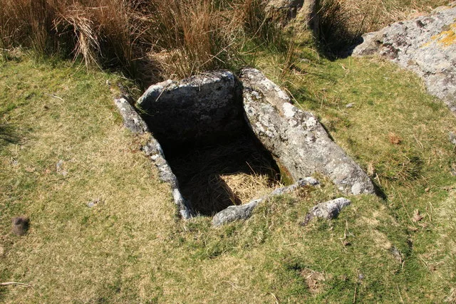
Grim's Grave cairn with a cist, Langcombe
Hill forts · 0.9 km

Blowing House (Rmns)
Archaeological sites · 1.2 km

Drizzlecombe Bronze Age Complex
Archaeological sites · 1.2 km
Giants Basin
Archaeological sites · 1.3 km
Drizzlecombe East Row
Archaeological sites · 1.3 km

Drizzlecombe South Row
Archaeological sites · 1.3 km

Platform cairn and cist 80m south east of Calveslake Tor
Archaeological sites · 1.3 km
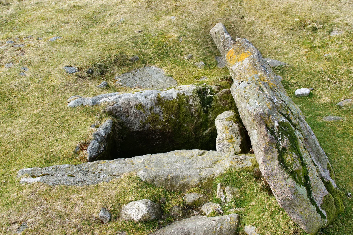
Drizzlecombe
Hill forts · 1.4 km

Hentor Warren boundary stone standing 200m south east of Hen Tor
Windmills · 1.4 km

Mill remains.
Archaeological sites · 1.6 km

Penn Moor
Mountains & hills · 1.7 km
Nearby
📷 5Archaeological sites · South West England
A prehistoric settlement with cairns and a historic tin mill, streamwork and buildings lying adjacent to the Langcombe Brook
A prehistoric settlement with cairns and a historic tin mill, streamwork and buildings lying adjacent to the Langcombe Brook — archaeological site in Shaugh Prior, South Hams, England, UK.
📷 5Hill forts · South West England
Grim's Grave cairn with a cist, Langcombe
Grim's Grave cairn with a cist, Langcombe — archaeological site in Shaugh Prior, South Hams, England, UK.
📷 3Archaeological sites · South West England
Blowing House (Rmns)
Blowing House (Rmns) — a archaeological in england-south-west, United Kingdom.
📷 3Archaeological sites · South West England
Drizzlecombe Bronze Age Complex
Drizzlecombe Bronze Age Complex — a archaeological in england-south-west, United Kingdom.
📷 3Archaeological sites · South West England
Giants Basin
Giants Basin — a archaeological in england-south-west, United Kingdom.
📷 3Archaeological sites · South West England
Drizzlecombe East Row
Drizzlecombe East Row — a archaeological in england-south-west, United Kingdom.
Where to eat & stay near Eylesbarrow mine
Places to stay
 📷 5
📷 5B&Bs · South West England
Tor Royal B&B
Tor Royal B&B — a bed-and-breakfast in england south west.
 📷 5
📷 5Campsites · South West England
Plume of Feathers Campsite
Plume of Feathers Campsite — a campsite in england south west.
 📷 5
📷 5 📷 5📷 5
Hostels · South West England
Harford Bunkhouse
Harford Bunkhouse — a hostel in england south west.
 📷 5
📷 5Campsites · South West England
Beardown Farm
Beardown Farm — a campsite in england south west.
Places to eat & drink
 📷 5
📷 5Cafés · South West England
Station House
Station House — a café in england south west.
 📷 5
📷 5Restaurants · South West England
Toby Carvery
Toby Carvery — a restaurant in england south west. Cuisine: british. Brand: Toby Carvery.
 📷 7
📷 7Historic pubs · South West England
St Elizabeth's House
St Elizabeth's House in England South West, United Kingdom.
 📷 5
📷 5Restaurants · South West England
Furzeleigh Mill
Furzeleigh Mill — a restaurant in england south west.
 📷 5
📷 5Historic pubs · South West England
Church House Inn
Church House Inn in England South West, United Kingdom.
 📷 6
📷 6Historic pubs · South West England
(White Hart Inn) Public House
(White Hart Inn) Public House in England South West, United Kingdom.
More places in this region
 Flagship📷 10
Hill forts · South West England
Maiden Castle
Maiden Castle — Iron Age hill fort in Dorset, England, UK.
 📷 5
📷 5Hill forts · South West England
All Cannings Cross
All Cannings Cross — archaeological site in All Cannings, Wiltshire, England, UK.
 📷 5
📷 5Hill forts · South West England
Aquae Sulis
Aquae Sulis — town in Roman Britain on the site of Bath, England.
 📷 5
📷 5Hill forts · South West England
Aston Valley Barrow Cemetery
Aston Valley Barrow Cemetery — group of Bronze Age burial mounds in England.
Frequently asked questions
- Where is Eylesbarrow mine?
- Eylesbarrow mine is in South-West England, United Kingdom.
- What is Eylesbarrow mine?
- Eylesbarrow mine — tin mine on Dartmoor, Devon, England, UK.
- How do I get to Eylesbarrow mine?
- Its coordinates are 50.4800°, -3.9700°.
- Who owns Eylesbarrow mine?
- Eylesbarrow mine is owned by Various, see text.
- Is Eylesbarrow mine a listed building?
- Eylesbarrow mine is officially recognised as scheduled monument listed.
- Is Eylesbarrow mine a protected site?
- Yes — Eylesbarrow mine is part of the South Dartmoor SSSI Site of Special Scientific Interest.
- Is Eylesbarrow mine free to visit?
- Yes, Eylesbarrow mine is free to enter.