
Mountains & hills · South West England
Balch Cave
In or near Coleford.
Balch Cave — Cave in Somerset, England.

Wikimedia Commons contributors — see linked file page for photographer and licence licence
.jpg)
Plan your visit
- Typical visit
- 3 h–8 h
- Best time of year
- Late spring – early autumn (May–Oct)
- Nearest railway station
- Cranmore · 4.6 km
- Free entry
- Dog-friendly
Getting there & planning your visit
To visit Balch Cave, the nearest railway station is Cranmore, located 4.6 km away. Entry to the cave is free, and it is accessible to visitors. The postcode for sat-nav is BA3 5GJ.
About
Balch Cave is a named summit in the United Kingdom. Part of Fairy Cave Quarry. Wikidata describes it as: "Cave in Somerset, England". Coordinates: 51.2259°, -2.4921°.
Photo gallery
Protected designations
- Site of Special Scientific Interest: St. Dunstan's Well Catchment SSSI
Designations sourced from Natural England open data under OGL v3.
From the Wikipedia article
Balch Cave (grid reference ST65734753) is a cave in Fairy Cave Quarry, near Stoke St Michael in the limestone of the Mendip Hills, in Somerset, England. The cave is part of the complex of passages feeding to St. Dunstan's Well Catchment Site of Special Scientific Interest and an abandoned Bristol Water abstraction point. It is named in honour of Herbert E. Balch who was famous for his exploration of the Caves of the Mendip Hills. The cave was broken into by quarry blasting in November 1961. Much of the cave has since been quarried away and by the end of the 1960s, major sections were destroyed. An exploration in December 1961 found a series of decorated rifts, mainly of sparkling flowstone, with a grotto fillet with pure white stalactites and pillars and a set of "organ pipes" about 10 feet (3 m) wide and 15 feet (5 m) high. A further visit in January 1962 explored the fourth chamber which is richly ornamented with white and cream flowstone, several narrow curtains, and miscellaneous white stalactites, and the fifth and sixth chambers with multiple Stalagmite formations. In the subsequent years continued blasting from the quarry breached the central chambers of the cave destroying some 425 feet (130 m) of passages, with rockfalls destroying many of the remaining formations, and rendering other sections of the cave inaccessible. Stabilisation work at the end of the quarry's life resulted in the destruction of a further 300 feet (91 m) of passage, including the original entrance series and Great Chamber. The Fairy Caves Management Committee administers the access to this cave on behalf of the quarry owners. The cave is closed from 1 October to 30 April to protect the hibernating bats.
Excerpt from Wikipedia under CC BY-SA 4.0. See the source article linked in Sources below.
- Coordinates
- 51.2259, -2.4921
- District
- Somerset
- Parish
- Stoke St Michael
- Postcode
- BA3 5GJ
- Parliamentary constituency
- Frome and East Somerset
- Nearest railway station
- Cranmore — 4.6 km
Sources
- wikidata: Q4850233 (CC0)
- wikipedia: Balch Cave (CC BY-SA 4.0)
- commons: Fairy Cave Quarry and cave entrance (geograph 5027685).jpg (CC BY-SA 4.0)
Other places nearby
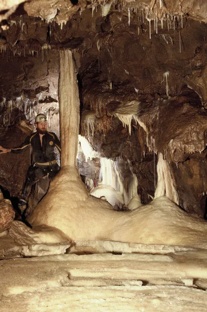
Shatter Cave
Mountains & hills · 0.0 km
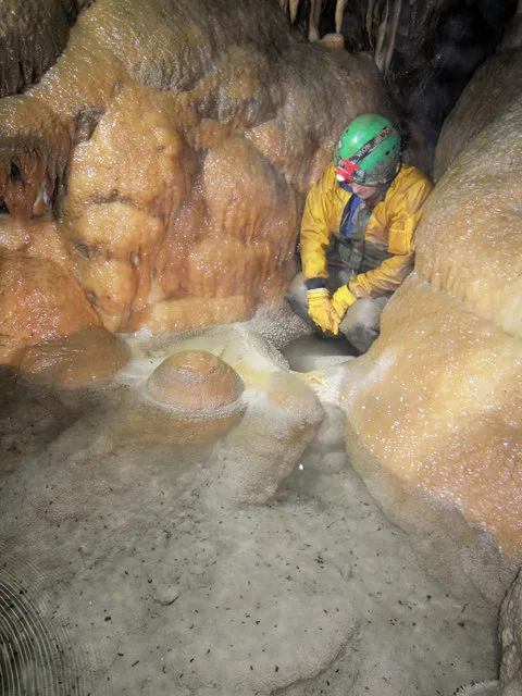
W/L Cave
Mountains & hills · 0.0 km

Withyhill Cave
Caves · 0.2 km

Hillier's Cave
Caves · 0.2 km

Fairy Cave
Caves · 0.2 km

Ten Minute Arete
Viewpoints · 0.2 km
ba35hp
Campsites · 0.6 km

Knatchbull Arms
Historic pubs · 0.9 km

Stoke Lane Slocker
Caves · 1.1 km
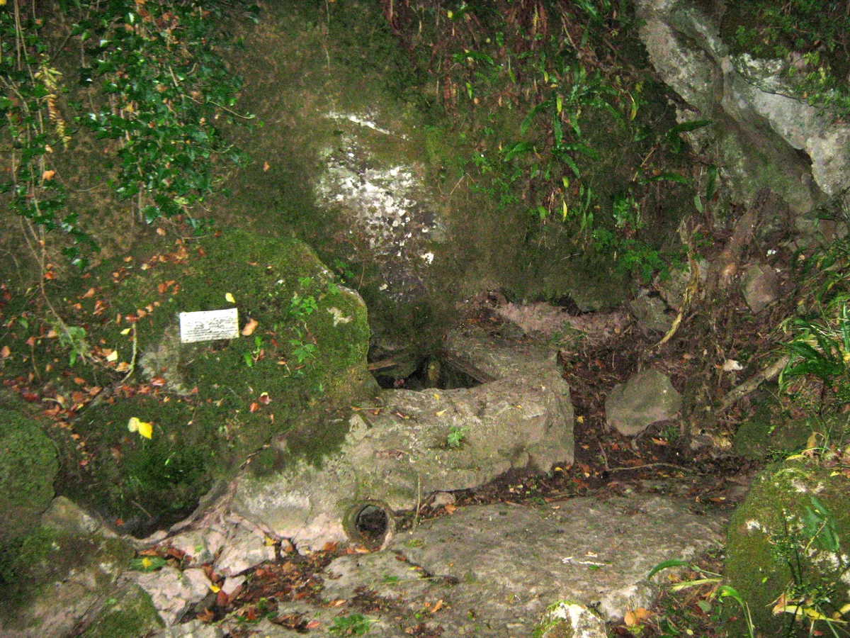
Stoke Lane Slocker
Mountains & hills · 1.1 km

Former Canal Bridge At Ngr St 6687 4880
Historic bridges · 1.7 km
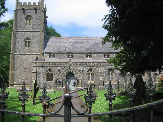
Church of St James, Ashwick
Historic churches · 2.2 km
Nearby
📷 5📷 5📷 5📷 5📷 5📷 5Viewpoints · South West England
Ten Minute Arete
Ten Minute Arete is a viewpoint in the United Kingdom.
Where to eat & stay near Balch Cave
Places to stay
📷 5 📷 5
📷 5Caravan parks · South West England
Old Down Touring Park
Old Down Touring Park — a caravan park in england south west.
 📷 5
📷 5B&Bs · South West England
The Old Priory
The Old Priory — a bed-and-breakfast in england south east.
 📷 5
📷 5Campsites · South West England
Old Mills Campsite
Old Mills Campsite — a campsite in england south west.
 📷 5
📷 5Hotels · South West England
The Radstock Hotel
The Radstock Hotel — a hotel in england south east.
 📷 5
📷 5Hotels · South West England
Ancient Gate House Hotel
Ancient Gate House Hotel — a hotel in england south west.
Places to eat & drink
📷 7Historic pubs · South West England
Knatchbull Arms
Knatchbull Arms in England South West, United Kingdom.
 📷 7
📷 7 📷 5
📷 5Historic pubs · South West England
Strode Arms Inn
Strode Arms Inn in England South West, United Kingdom.
📷 5 📷 7
📷 7Historic pubs · South West England
The Wine Vaults, Public House
The Wine Vaults, Public House in England South West, United Kingdom.
 📷 7
📷 7Historic pubs · South West England
The Jolliffe Arms And Nos 235 And 236
The Jolliffe Arms And Nos 235 And 236 in England South West, United Kingdom.
More mountains in this region
 📷 5
📷 5 📷 5
📷 5 📷 5
📷 5 📷 5
📷 5Frequently asked questions
- Where is Balch Cave?
- Balch Cave is in South-East England, United Kingdom (postcode BA3 5GJ), in the parish of Stoke St Michael.
- What is Balch Cave?
- Balch Cave — Cave in Somerset, England.
- How do I get to Balch Cave?
- The nearest railway station is Cranmore, about 4.6 km away. Drivers can use postcode BA3 5GJ.
- Is Balch Cave a protected site?
- Yes — Balch Cave is part of the St. Dunstan's Well Catchment SSSI Site of Special Scientific Interest.
- Is Balch Cave free to visit?
- Yes, Balch Cave is free to enter.
- How do I get to Balch Cave?
- The nearest railway station is Cranmore, about 4.6 km away. Drivers can navigate to postcode BA3 5GJ.