Canals · East of England
North Walsham & Dilham Canal
In or near Westwick.
North Walsham & Dilham Canal — waterway in the English county of Norfolk.

Wikimedia Commons contributors — see linked file page for photographer and licence licence
Plan your visit
- Typical visit
- 1 h–2 h
- Nearest railway station
- North Walsham · 3.0 km
- Free entry
- Dog-friendly
Getting there & planning your visit
To visit the North Walsham & Dilham Canal, the nearest railway station is North Walsham, located 3 km away. The postcode for sat-nav is NR28 9LR. Entry to the canal is free.
About
North Walsham & Dilham Canal is a canal in the United Kingdom. Wikidata describes it as: "waterway in the English county of Norfolk". Coordinates: 52.8034°, 1.4239°.
Photo gallery
Protected designations
- Area of Outstanding Natural Beauty: Norfolk Coast
Designations sourced from Natural England open data under OGL v3.
From the Wikipedia article
The North Walsham and Dilham Canal is a waterway in the English county of Norfolk. It was authorised by Parliament in 1812, but work on the construction of a canal which ran parallel to a branch of the River Ant did not start until 1825. It included six locks, which were sized to accommodate wherries, and was officially opened in August 1826. It was 8.7 miles (14.0 km) long and ran from two bone mills at Antingham to a junction with the River Ant at Smallburgh. It carried offal for the bone mills and agricultural products, as it proved cheaper to land coal on the beach at Mundesley and cart it overland than to use the canal. The venture was not a commercial success, and it was sold to various millers, who owned watermills along its length. The section above Swafield locks was abandoned in 1893, and from 1922 it was owned by the North Walsham Canal Company, set up by Edward Cubitt and George Walker, who were mill owners. The last commercial use of the canal was in 1934, and it avoided nationalisation in 1948. With the dawning of the leisure age, the canal was seen as an easy one to restore, but work to do so did not start until 2000, when the East Anglian Waterways Association (EAWA) started to run working parties for volunteers. In 2008 the North Walsham and Dilham Canal Trust was formed, and jointly run working parties with the EAWA. In 2009, part of the canal was sold to the Old Canal Company, who have worked to restore two locks and the pounds in between, in order to run Bacton Wood Mill as a watermill. Rewatering was interrupted by the Environment Agency issuing a stop notice in April 2012, but negotiations continue. The canal served six mills, located along its banks, including the two bone mills at Antingham. There has been a mill at Bacton Wood since the time of the Domesday Book in 1086, and much of the present building dates from 1747. It was the home of Sir William Cubitt, who invented the self-regulating windmill sail and the prison treadmill. Since the…
Excerpt from Wikipedia under CC BY-SA 4.0. See the source article linked in Sources below.
- Coordinates
- 52.8034, 1.4239
- County
- Norfolk
- District
- North Norfolk
- Parish
- Worstead
- Postcode
- NR28 9LR
- Parliamentary constituency
- North Norfolk
- Nearest railway station
- North Walsham — 3 km
Sources
- wikidata: Q7057177 (CC0)
- wikipedia: North Walsham and Dilham Canal (CC BY-SA 4.0)
- commons: The North Walsham and Dilham Canal, Norfolk - geograph.org.uk - 312832.jpg (CC BY-SA 4.0)
Featured in this guide
Other places nearby

Meeting Hill Village Sign
Public art & sculpture · 0.3 km

Honing War Memorial
Memorials & monuments · 1.8 km

Honing
Villages · 1.8 km

Honing Village Sign
Public art & sculpture · 1.9 km

Two Mills
Caravan parks · 1.9 km

Honing Hall
Historic houses · 2.0 km

Worstead Village Sign
Public art & sculpture · 2.1 km

Witton Village Sign
Public art & sculpture · 2.2 km

Canal Camping
Campsites · 2.3 km

The Manor House
Historic houses · 2.4 km

Geoffrey The Dyer House
Historic houses · 2.4 km

Worstead
Museums · 2.4 km
Nearby
📷 3Public art & sculpture · East of England
Meeting Hill Village Sign
Meeting Hill Village Sign — a public art in england-east-midlands, United Kingdom.
📷 3Memorials & monuments · East of England
Honing War Memorial
Honing War Memorial — Grade II listed building-listed memorial in england-east-midlands, United Kingdom.
📷 5📷 3Public art & sculpture · East of England
Honing Village Sign
Honing Village Sign — a public art in england-east-midlands, United Kingdom.
📷 5📷 3Where to eat & stay near North Walsham & Dilham Canal
Places to stay
📷 5📷 5 📷 5
📷 5Caravan parks · East of England
Alder Country Park
Alder Country Park — a caravan park in england east midlands.
 📷 5
📷 5 📷 5
📷 5Hotels · East of England
Kings Arms Hotel
Kings Arms Hotel — a hotel in england east midlands.
 📷 5
📷 5Hotels · East of England
Beechwood Hotel & Restaurant
Beechwood Hotel & Restaurant — a hotel in england east midlands.
Places to eat & drink
 📷 5
📷 5 📷 5
📷 5 📷 5
📷 5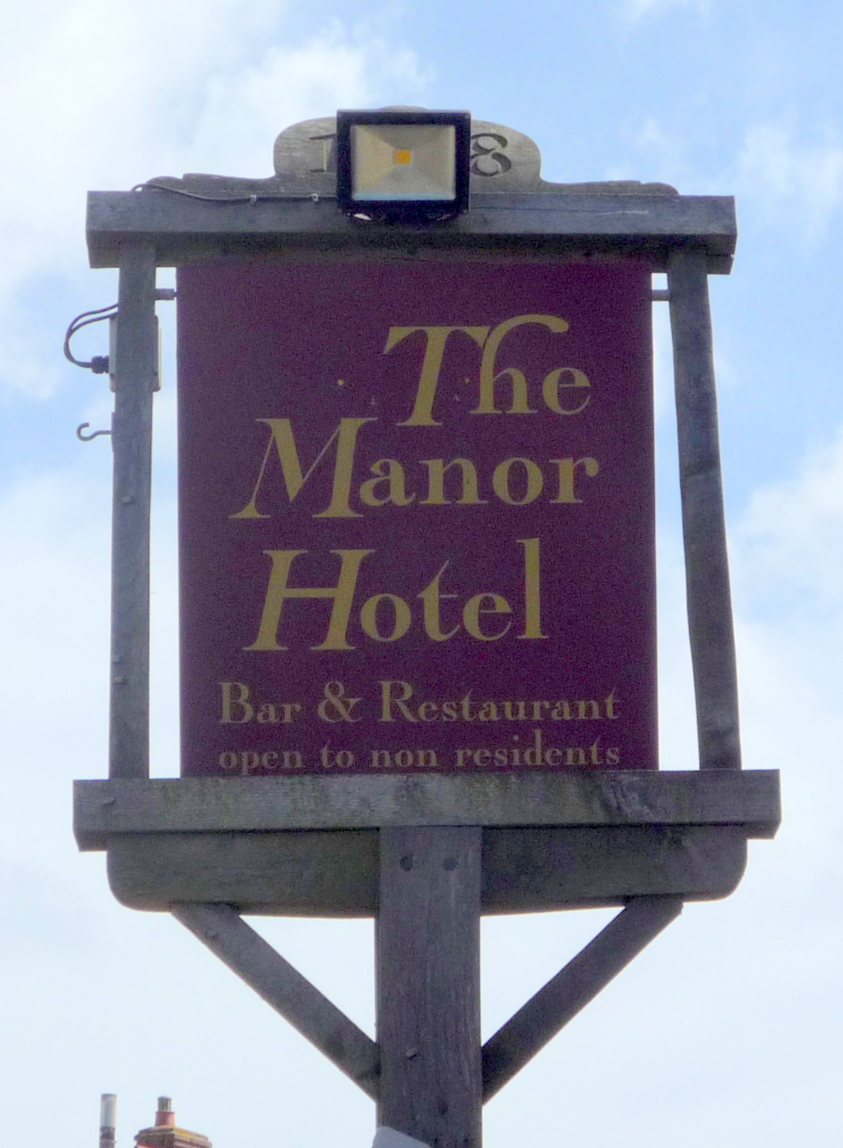 📷 5
📷 5Historic pubs · East of England
Manor Hotel, Mundesley
Manor Hotel, Mundesley in England East, United Kingdom.
 📷 5
📷 5Historic pubs · East of England
Vernon Arms
Vernon Arms in England East, United Kingdom.
 📷 7
📷 7Historic pubs · East of England
Recruiting Sergeant Inn
Recruiting Sergeant Inn in England East, United Kingdom.
More places in this region
 📷 5
📷 5 📷 5
📷 5 📷 5
📷 5Canals · East of England
Cambridgeshire Lodes
Cambridgeshire Lodes — series of man-made waterways in the county of Cambridgeshire, England.
 📷 5
📷 5Canals · East of England
Cottenham Lode
Cottenham Lode is a canal in the United Kingdom.
Frequently asked questions
- Where is North Walsham & Dilham Canal?
- North Walsham & Dilham Canal is in Norfolk, the East Midlands, United Kingdom (postcode NR28 9LR), in the parish of Worstead.
- What is North Walsham & Dilham Canal?
- North Walsham & Dilham Canal — waterway in the English county of Norfolk.
- How do I get to North Walsham & Dilham Canal?
- The nearest railway station is North Walsham, about 3.0 km away. Drivers can use postcode NR28 9LR.
- Is North Walsham & Dilham Canal a protected site?
- Yes — North Walsham & Dilham Canal is part of the Norfolk Coast National Landscape (AONB).
- Is North Walsham & Dilham Canal free to visit?
- Yes, North Walsham & Dilham Canal is free to enter.
- How do I get to North Walsham & Dilham Canal?
- The nearest railway station is North Walsham, about 3.0 km away. Drivers can navigate to postcode NR28 9LR.