
Historic houses · East of England
Honing Hall
In or near Bacton.
Honing Hall — house in Honing, Norfolk, England, UK.

Wikimedia Commons contributors — see linked file page for photographer and licence licence

Plan your visit
- Typical visit
- 1 h–2 h
- Nearest railway station
- North Walsham · 4.6 km
- Family-friendly
- Limited wheelchair access
Getting there & planning your visit
Honing Hall is located in North Norfolk, postcode NR28 9NN, and is approximately 4.6 km from the nearest railway station, North Walsham. Entry details are not specified, and accessibility is limited for wheelchair users.
About
Honing Hall is a historic house in the United Kingdom — typically a country seat, manor, or town house with notable architecture or history. Records date its origin to 1748. Heritage designation: Grade II* listed building. Wikidata describes it as: "house in Honing, Norfolk, England, UK". Coordinates: 52.8088°, 1.4517°.
Photo gallery
Protected designations
- Area of Outstanding Natural Beauty: Norfolk Coast
Designations sourced from Natural England open data under OGL v3.
From the Wikipedia article
Honing Hall is a Grade II* listed building which stands in a small estate close to the village of Honing in the English county of Norfolk within the United Kingdom. It was built in 1748 for a wealthy worsted weaver called Andrew Chamber.
Excerpt from Wikipedia under CC BY-SA 4.0. See the source article linked in Sources below.
Background
History
The present hall stands on land which was once occupied by a much earlier settlement or house which stood a short distance from where the stable block is. The remnants of this house were thought to have been finally removed just before the construction of the hall in 1748. This previous dwelling itself had replaced an earlier enclosed medieval moated dwelling which stood just inside the northern boundary of the property. This area is now an overgrown plantation but vestiges of three arms of the moat can be found and still retain water. In the centre is a raised area where once stood the medieval building. In the 1740s the property was purchased by Andrew Chamber who was a prosperous Norwich…
Description
The hall is rectangle in plan and is built over three storeys and is situated in the centre of the north end of the small estate. The south-facing façade has five bays with a pediment over the three central bays. Carved in stone set into the brick-faced pediment is a coat of arms with garlands. protruding from the front triple-bay building line, the roof is clad in black glazed Norfolk pantiles. The west-facing façade has a latter addition of a full-height bowed extension with windows which overlook the gardens on this side of the hall. This extension is attributed to the architect John Soane and was part of the alterations carried out under his instruction in 1788 and completed in 1790.…
Sourced from Wikipedia under CC BY-SA 4.0.
- Coordinates
- 52.8088, 1.4517
- County
- Norfolk
- District
- North Norfolk
- Parish
- Honing
- Postcode
- NR28 9NN
- Parliamentary constituency
- North Norfolk
- Established
- 1748
- Nearest railway station
- North Walsham — 4.6 km
Sources
- wikidata: Q17556132 (CC0)
- wikipedia: Honing Hall (CC BY-SA 4.0)
- commons: Honing Hall Norfolk 25 March 2009.JPG (CC BY-SA 4.0)
Other places nearby

Honing War Memorial
Memorials & monuments · 1.1 km

Honing Village Sign
Public art & sculpture · 1.3 km

Honing
Villages · 1.3 km

Witton Village Sign
Public art & sculpture · 1.6 km

Canal Camping
Campsites · 1.9 km

North Walsham & Dilham Canal
Canals · 2.0 km

East Ruston Village Sign
Public art & sculpture · 2.3 km

Meeting Hill Village Sign
Public art & sculpture · 2.3 km

Ridlington Village Sign
Public art & sculpture · 2.6 km
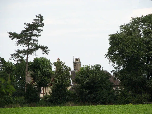
Dilham Castle
Castles · 2.9 km

Witton
Villages · 2.9 km

Commonwood
Caravan parks · 3.2 km
Nearby
📷 3Memorials & monuments · East of England
Honing War Memorial
Honing War Memorial — Grade II listed building-listed memorial in england-east-midlands, United Kingdom.
📷 3Public art & sculpture · East of England
Honing Village Sign
Honing Village Sign — a public art in england-east-midlands, United Kingdom.
📷 5📷 3Public art & sculpture · East of England
Witton Village Sign
Witton Village Sign — a public art in england-east-midlands, United Kingdom.
📷 5📷 3Canals · East of England
North Walsham & Dilham Canal
North Walsham & Dilham Canal — waterway in the English county of Norfolk.
Where to eat & stay near Honing Hall
Places to stay
📷 5📷 5 📷 5
📷 5 📷 5
📷 5 📷 5
📷 5Caravan parks · East of England
Alder Country Park
Alder Country Park — a caravan park in england east midlands.
 📷 5
📷 5Caravan parks · East of England
Bellevue C&C Quiet Site
Bellevue C&C Quiet Site — a caravan park in england east midlands.
Places to eat & drink
 📷 5
📷 5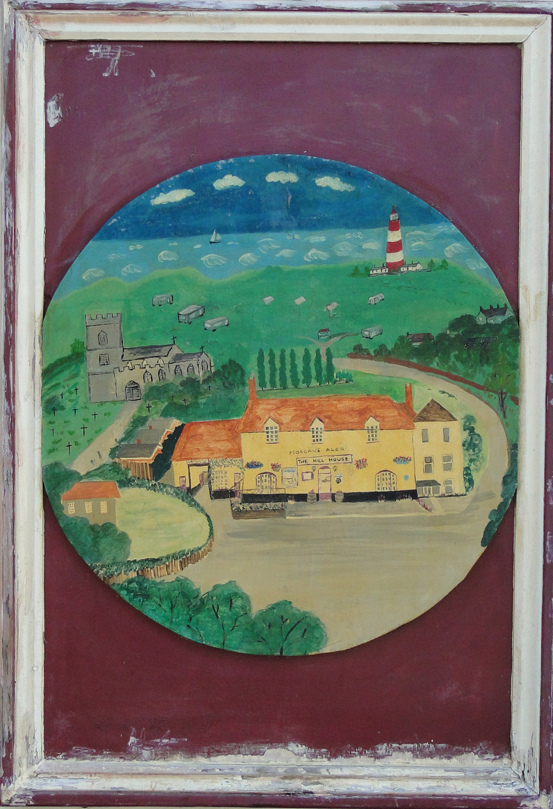 📷 5
📷 5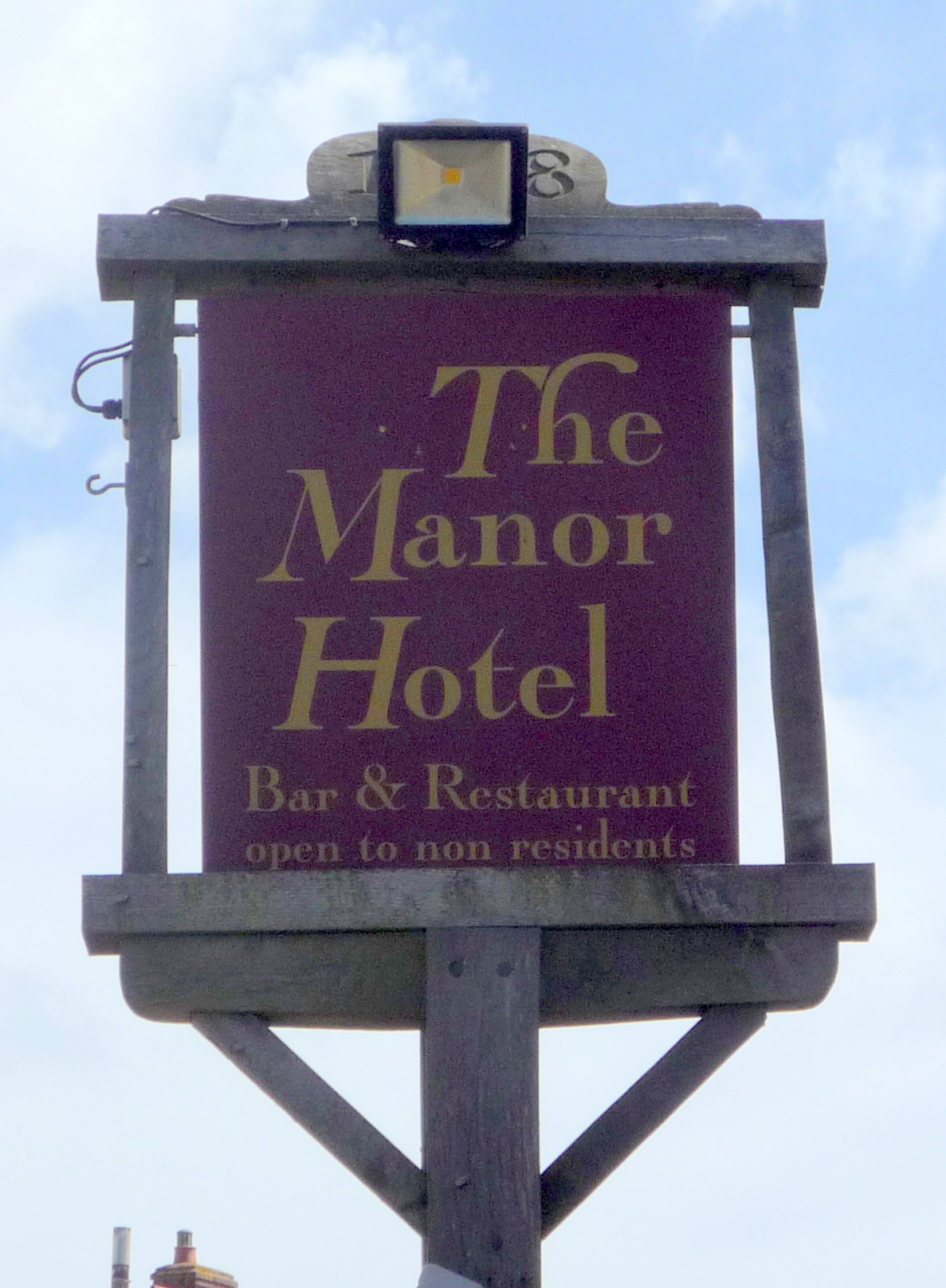 📷 5
📷 5Historic pubs · East of England
Manor Hotel, Mundesley
Manor Hotel, Mundesley in England East, United Kingdom.
 📷 5
📷 5 📷 5
📷 5Historic pubs · East of England
Vernon Arms
Vernon Arms in England East, United Kingdom.
 📷 7
📷 7Historic pubs · East of England
Recruiting Sergeant Inn
Recruiting Sergeant Inn in England East, United Kingdom.
Other historic houses from this era
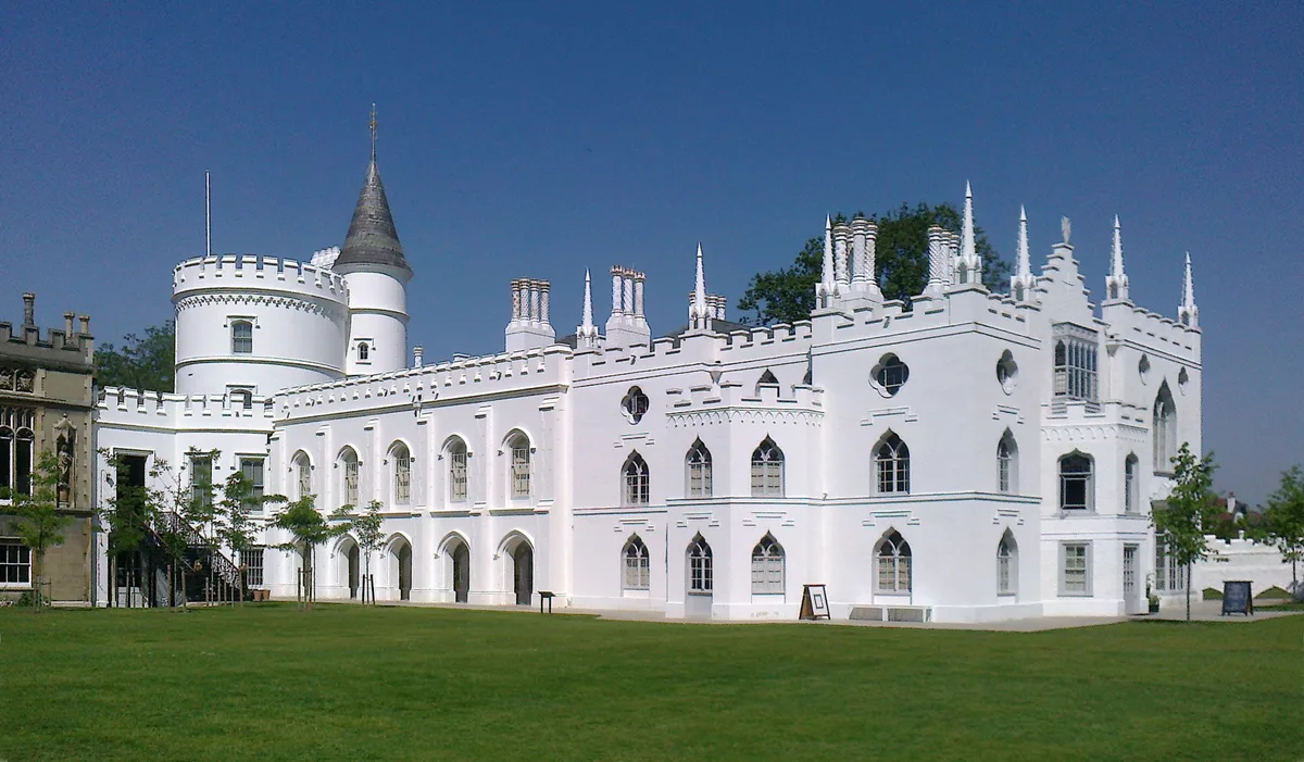 Flagship📷 10
Historic houses · London
Strawberry Hill House
Strawberry Hill House — villa and house museum in Twickenham, London, United Kingdom.
 📷 5
📷 5Historic houses · London
12, Upper Grosvenor Street W1
12, Upper Grosvenor Street W1 — House in Mayfair, London W1.
 📷 5
📷 5Historic houses · London
123 Mortlake High Street
123 Mortlake High Street — house and former town hall in Mortlake, London.
 📷 5
📷 5Historic houses · London
15, Upper Grosvenor Street W1
15, Upper Grosvenor Street W1 — building in Westminster, London, England, UK.
More historic houses in this region
 📷 5
📷 5Historic houses · East of England
41 and 41a, Broad Street
41 and 41a, Broad Street — Grade II* listed house in Ely, East Cambridgeshire, England, UK.
 📷 5
📷 5Historic houses · East of England
Abbey Gate House
Abbey Gate House — house in St Albans, Hertfordshire, England, UK.
 📷 5
📷 5Historic houses · East of England
Abbey House
Abbey House — house in Cambridge, Cambridgeshire, England, UK.
.jpg?width=1200) 📷 5
📷 5Historic houses · East of England
Amores Including Outbuildings
Amores Including Outbuildings — architectural structure in Hertford, East Hertfordshire, England, UK.
Frequently asked questions
- Where is Honing Hall?
- Honing Hall is in Norfolk, the East Midlands, United Kingdom (postcode NR28 9NN), in the parish of Honing.
- What is Honing Hall?
- Honing Hall — house in Honing, Norfolk, England, UK.
- How do I get to Honing Hall?
- The nearest railway station is North Walsham, about 4.6 km away. Drivers can use postcode NR28 9NN.
- When was Honing Hall built?
- Built or established in 1748.
- Who owns Honing Hall?
- Honing Hall is owned by | current_tenants =.
- Is Honing Hall a listed building?
- Honing Hall is officially recognised as Grade II* listed building listed.
- Is Honing Hall a protected site?
- Yes — Honing Hall is part of the Norfolk Coast National Landscape (AONB).
- How do I get to Honing Hall?
- The nearest railway station is North Walsham, about 4.6 km away. Drivers can navigate to postcode NR28 9NN.