
Historic houses · East of England
Geoffrey The Dyer House
In or near Sloley.
Geoffrey The Dyer House — house in Worstead, North Norfolk, England, UK.

Wikimedia Commons contributors — see linked file page for photographer and licence licence

Plan your visit
- Typical visit
- 1 h–2 h
- Nearest railway station
- Worstead · 0.9 km
- Family-friendly
- Limited wheelchair access
About
Geoffrey The Dyer House is a historic house in the United Kingdom — typically a country seat, manor, or town house with notable architecture or history. Heritage designation: Grade II listed building. Wikidata describes it as: "house in Worstead, North Norfolk, England, UK". Coordinates: 52.7832°, 1.4129°.
Photo gallery
Protected designations
- Area of Outstanding Natural Beauty: Norfolk Coast
Designations sourced from Natural England open data under OGL v3.
Place summary
Geoffrey The Dyer House is a Grade II listed building located in the East Midlands. It is recognised for its architectural significance and is situated within an Area of Outstanding Natural Beauty (AONB) along the Norfolk Coast.
AI-generated from the structured facts on this page (operator, designation, listing, era). Not a substitute for visiting.
- Coordinates
- 52.7832, 1.4129
- County
- Norfolk
- District
- North Norfolk
- Parish
- Worstead
- Postcode
- NR28 9AL
- Parliamentary constituency
- North Norfolk
- Nearest railway station
- Worstead — 0.9 km
Sources
- wikidata: Q26301191 (CC0)
- commons: Geoffrey the Dyer's House BandB - geograph.org.uk - 526475.jpg (CC BY-SA 4.0)
Other places nearby

The Manor House
Historic houses · 0.0 km

Worstead
Museums · 0.0 km

Worstead Village Sign
Public art & sculpture · 0.3 km

The Obelisk
Memorials & monuments · 1.0 km

Sloley Village Sign
Public art & sculpture · 1.7 km
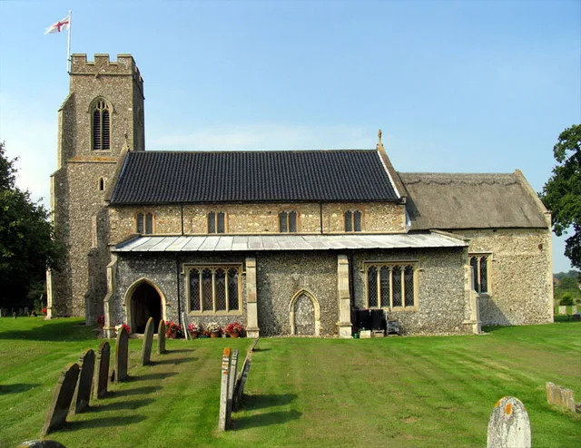
Sloley
Towns & cities · 1.8 km

Sloley War Memorial
Memorials & monuments · 2.0 km

Westwick Village Sign
Public art & sculpture · 2.2 km

Meeting Hill Village Sign
Public art & sculpture · 2.2 km

North Walsham & Dilham Canal
Canals · 2.4 km
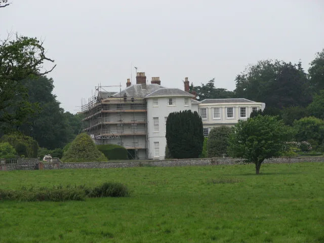
Westwick
Towns & cities · 2.5 km

Canal Camping
Campsites · 2.8 km
Nearby
📷 3Historic houses · East of England
The Manor House
The Manor House — house in Worstead, North Norfolk, England, UK.
📷 5📷 3Public art & sculpture · East of England
Worstead Village Sign
Worstead Village Sign — a public art in england-east-midlands, United Kingdom.
📷 3Memorials & monuments · East of England
The Obelisk
The Obelisk is a memorial in the United Kingdom.
📷 3Public art & sculpture · East of England
Sloley Village Sign
Sloley Village Sign — a public art in england-east-midlands, United Kingdom.
Flagship📷 5Towns & cities · East of England
Sloley
Sloley — a village located in North Norfolk, United Kingdom.
Where to eat & stay near Geoffrey The Dyer House
Places to stay
📷 5 📷 5
📷 5 📷 5
📷 5 📷 5
📷 5Hotels · East of England
Kings Arms Hotel
Kings Arms Hotel — a hotel in england east midlands.
📷 5 📷 5
📷 5Hotels · East of England
Beechwood Hotel & Restaurant
Beechwood Hotel & Restaurant — a hotel in england east midlands.
Places to eat & drink
 📷 5
📷 5 📷 5
📷 5 📷 7
📷 7Historic pubs · East of England
Recruiting Sergeant Inn
Recruiting Sergeant Inn in England East, United Kingdom.
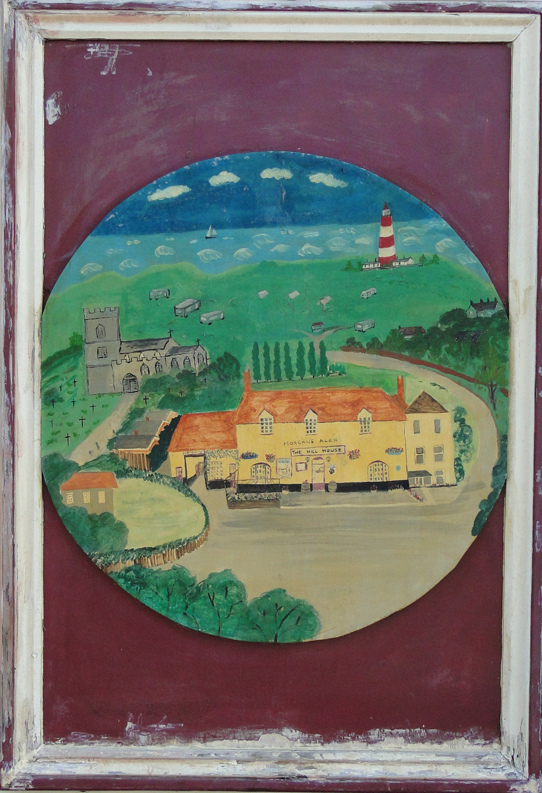 📷 5
📷 5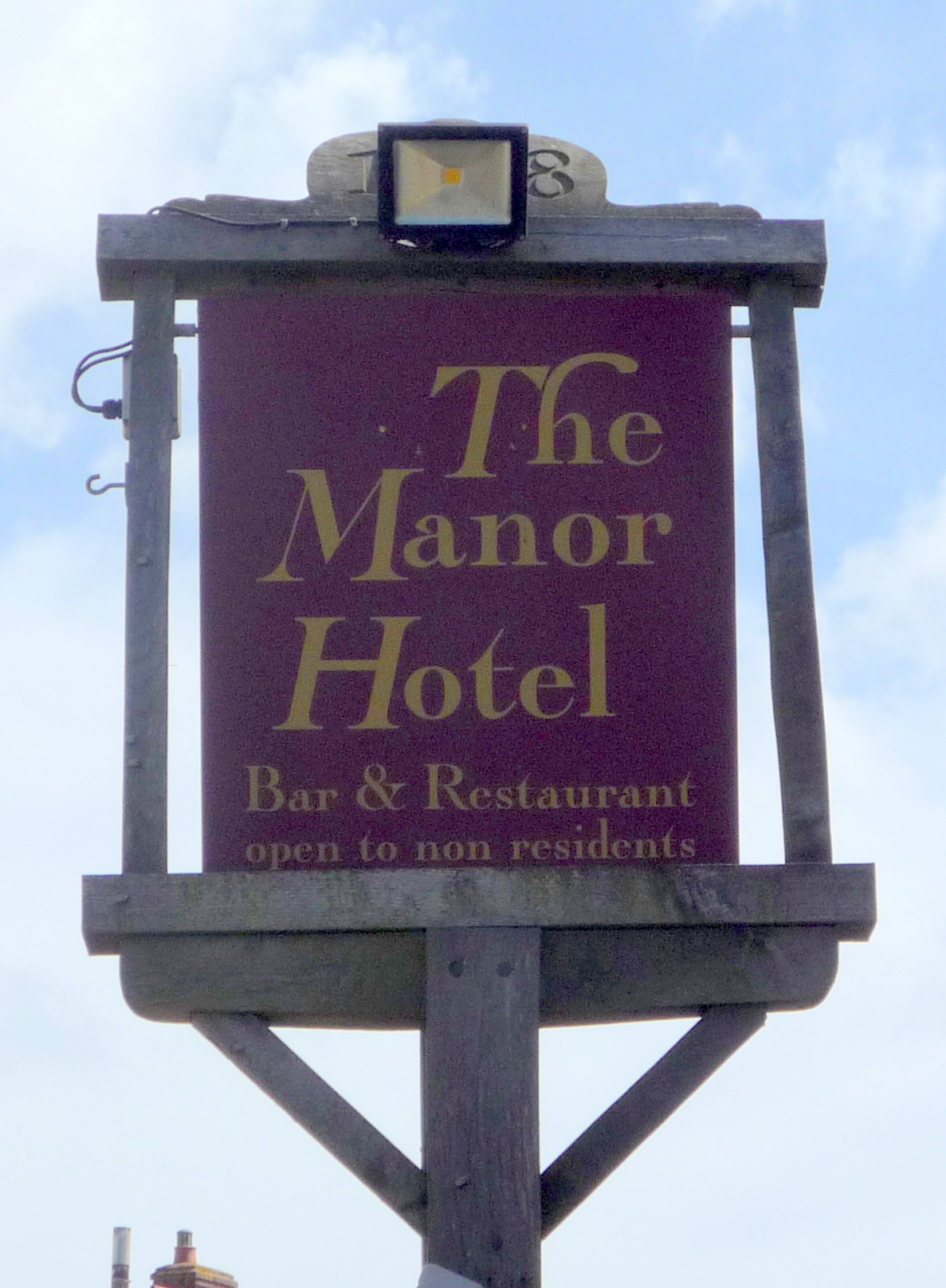 📷 5
📷 5Historic pubs · East of England
Manor Hotel, Mundesley
Manor Hotel, Mundesley in England East, United Kingdom.
 📷 5
📷 5Historic pubs · East of England
Vernon Arms
Vernon Arms in England East, United Kingdom.
More historic houses in this region
 📷 5
📷 5Historic houses · East of England
41 and 41a, Broad Street
41 and 41a, Broad Street — Grade II* listed house in Ely, East Cambridgeshire, England, UK.
 📷 5
📷 5Historic houses · East of England
Abbey Gate House
Abbey Gate House — house in St Albans, Hertfordshire, England, UK.
 📷 5
📷 5Historic houses · East of England
Abbey House
Abbey House — house in Cambridge, Cambridgeshire, England, UK.
.jpg?width=1200) 📷 5
📷 5Historic houses · East of England
Amores Including Outbuildings
Amores Including Outbuildings — architectural structure in Hertford, East Hertfordshire, England, UK.
Frequently asked questions
- Where is Geoffrey The Dyer House?
- Geoffrey The Dyer House is in Norfolk, the East Midlands, United Kingdom (postcode NR28 9AL), in the parish of Worstead.
- What is Geoffrey The Dyer House?
- Geoffrey The Dyer House — house in Worstead, North Norfolk, England, UK.
- How do I get to Geoffrey The Dyer House?
- The nearest railway station is Worstead, about 0.9 km away. Drivers can use postcode NR28 9AL.
- Is Geoffrey The Dyer House a listed building?
- Geoffrey The Dyer House is officially recognised as Grade II listed building listed.
- Is Geoffrey The Dyer House a protected site?
- Yes — Geoffrey The Dyer House is part of the Norfolk Coast National Landscape (AONB).
- How do I get to Geoffrey The Dyer House?
- The nearest railway station is Worstead, about 0.9 km away. Drivers can navigate to postcode NR28 9AL.