
Canals · East of England
Cambridgeshire Lodes
In or near Brinkley.
Cambridgeshire Lodes — series of man-made waterways in the county of Cambridgeshire, England.

Wikimedia Commons contributors — see linked file page for photographer and licence licence

Plan your visit
- Typical visit
- 1 h–2 h
- Nearest railway station
- Dullingham · 7.1 km
- Free entry
- Dog-friendly
Getting there & planning your visit
To visit the Cambridgeshire Lodes, the nearest railway station is Dullingham, which is 7.1 km away. The postcode for the location is CB21 5NF, and entry is free.
About
Cambridgeshire Lodes is a canal in the United Kingdom. Wikidata describes it as: "series of man-made waterways in the county of Cambridgeshire, England". Coordinates: 52.1470°, 0.3130°.
Photo gallery
From the Wikipedia article
The Cambridgeshire Lodes are a series of man-made waterways, believed to be Roman in origin, located in the county of Cambridgeshire, England. Bottisham, Swaffham Bulbeck, Reach, Burwell, Wicken and Monks Lodes all connect to the River Cam, while Soham and Cottenham Lodes connect to the River Great Ouse. All have been navigable historically, but some are no longer officially navigable. Bottisham Lode was navigated throughout the 19th century, and although the flood gates at its mouth were replaced in 2001, it carries a "No unauthorised vessels" notice. Swaffham Bulbeck Lode has been rendered unnavigable by the removal of the lower lock gates, and the replacement of the upper lock gates with a guillotine gate which provides little headroom. Reach Lode is quite deep, as a result of the surrounding land sinking, and the banks being built up. The lower gate of the entrance lock has been replaced by a guillotine gate, enabling boats up to 63 feet (19 m) long to use it. Burwell Lode is a tributary of Reach Lode, and is another deep lode. Barges were built and maintained at Burwell until 1936, and it was used commercially until 1963, when carriage of sugar beet ceased. Wicken Lode is another tributary of Reach Lode, and was important for the carriage of peat and sedge. It runs through Wicken Fen, one of the oldest nature reserves in England, as the National Trust bought their first part of it in 1899. Soham Lode is more recent than most, probably dating from the 1790s. It ran by Soham Mere, a large inland lake which was drained in the late 18th century. In 2007 a strategy plan considered options for the management of the lodes which included rebuilding most of them at a lower level, but concluded that maintaining the banks at the existing level was a better long-term solution.
Excerpt from Wikipedia under CC BY-SA 4.0. See the source article linked in Sources below.
Background
History
Research by the Royal Commission on Historical Monuments published in 1972 confirmed the work of Major Gordon Fowler of the Fenland Research Committee that the Cambridgeshire lodes were of Roman origin; they were excavated to provide navigation to a series of villages to the east of the River Cam, and probably also drainage of the surrounding fenland. The infrastructure was completed by the Car Dyke, which linked Waterbeach on the River Cam to the River Witham near Lincoln, some 73 mi away. The term "Lode" denoted a watercourse in Late Middle English, being derived from the Old English "lād," meaning way or course. It did not acquire its modern meaning of a vein of metal ore until the early…
Sourced from Wikipedia under CC BY-SA 4.0.
- Coordinates
- 52.1470, 0.3130
- County
- Cambridgeshire
- District
- South Cambridgeshire
- Parish
- West Wratting
- Postcode
- CB21 5NF
- Parliamentary constituency
- South Cambridgeshire
- Nearest railway station
- Dullingham — 7.1 km
Sources
- wikidata: Q5025663 (CC0)
- wikipedia: Cambridgeshire Lodes (CC BY-SA 4.0)
- commons: Wicken Lode1.JPG (CC BY-SA 4.0)
Other places nearby

Balsham War Memorial in Churchyard, Church of Holy Trinity
Memorials & monuments · 1.6 km

West Wratting
Villages · 2.4 km

Windmill At Mill Cottage
Windmills · 2.6 km

Mill Hill
Mountains & hills · 3.5 km

Brinkley Woodland Cemetery
Cemeteries · 3.6 km

Chilford Hall Vineyard and Conference Centre
Vineyards · 3.8 km

Lower Wood NR
Forests & woodlands · 4.1 km

Mutlow Hill
Archaeological sites · 4.2 km

Mutlow Hill
Archaeological sites · 4.2 km
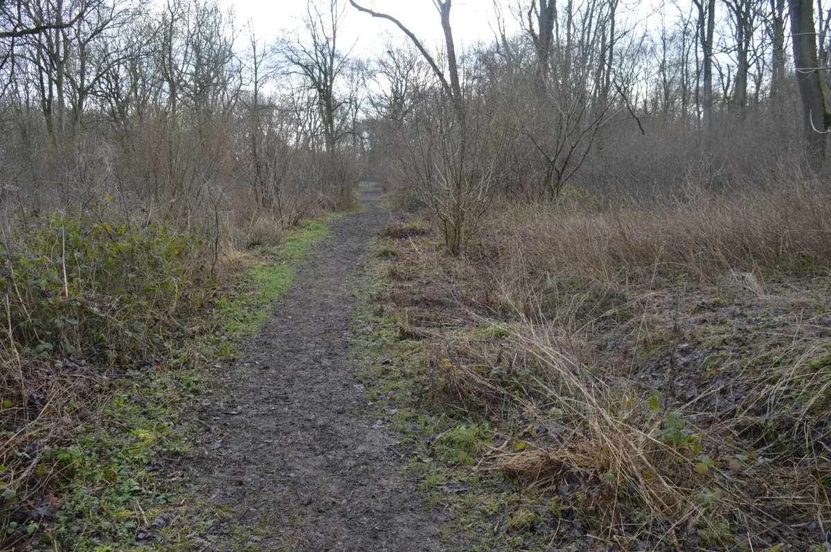
Lower Wood
Wildlife reserves · 4.3 km

Mark's Grave
Memorials & monuments · 4.3 km

West Wickham
Villages · 4.4 km
Nearby
📷 5Memorials & monuments · East of England
Balsham War Memorial in Churchyard, Church of Holy Trinity
Balsham War Memorial in Churchyard, Church of Holy Trinity — Grade II listed building-listed memorial in england-london, United Kingdom.
📷 5📷 5Windmills · East of England
Windmill At Mill Cottage
Windmill At Mill Cottage — Grade II* listed building-listed windmill in england-london, United Kingdom.
📷 5Mountains & hills · East of England
Mill Hill
Mill Hill — mountain in england london. Elevation: 124 m.
📷 5Cemeteries · East of England
Brinkley Woodland Cemetery
Brinkley Woodland Cemetery is a cemetery in the United Kingdom.
📷 5Vineyards · East of England
Chilford Hall Vineyard and Conference Centre
Chilford Hall Vineyard and Conference Centre — a vineyard in East of England, United Kingdom.
Where to eat & stay near Cambridgeshire Lodes
Places to stay
 📷 5
📷 5 📷 5
📷 5Campsites · East of England
Bounds Campsite
Bounds Campsite — a campsite in england london.
 📷 5
📷 5Caravan parks · East of England
Cambridge Cherry Hinton Caravan and Motorhome Club
Cambridge Cherry Hinton Caravan and Motorhome Club — a caravan park in england london.
 📷 5
📷 5Campsites · East of England
Ashwell House
Ashwell House — a campsite in england london.
 📷 5📷 5
Places to eat & drink
 📷 5
📷 5Historic pubs · East of England
The Kings Head Inn
The Kings Head Inn in England East, United Kingdom.
 📷 7
📷 7Historic pubs · East of England
The Robin Hood
The Robin Hood in England East, United Kingdom.
 📷 7
📷 7 📷 5
📷 5Historic pubs · East of England
Tickells Arms Public House
Tickells Arms Public House in England East, United Kingdom.
 📷 5
📷 5Historic pubs · East of England
The Grosvenor Arms Public House
The Grosvenor Arms Public House in England East, United Kingdom.
 📷 5
📷 5Historic pubs · East of England
The Bushel Public House
The Bushel Public House in England East, United Kingdom.
More places in this region
 📷 5
📷 5 📷 5
📷 5 📷 5
📷 5 📷 5
📷 5Canals · East of England
Forty Foot Drain
Forty Foot Drain — group of drainage channels in Fenland, England.
Frequently asked questions
- Where is Cambridgeshire Lodes?
- Cambridgeshire Lodes is in Cambridgeshire, East of England, United Kingdom (postcode CB21 5NF), in the parish of West Wratting.
- What is Cambridgeshire Lodes?
- Cambridgeshire Lodes — series of man-made waterways in the county of Cambridgeshire, England.
- How do I get to Cambridgeshire Lodes?
- The nearest railway station is Dullingham, about 7.1 km away. The nearest town is Brinkley. Drivers can use postcode CB21 5NF.
- Is Cambridgeshire Lodes free to visit?
- Yes, Cambridgeshire Lodes is free to enter.
- How do I get to Cambridgeshire Lodes?
- The nearest railway station is Dullingham, about 7.1 km away. Drivers can navigate to postcode CB21 5NF.