
Roman villas · North East England
Milecastle 49
In or near Greenhead.
Milecastle 49 in England North East, United Kingdom.

Russel Wills — CC BY-SA 2.0 via Wikimedia Commons licence

Plan your visit
- Typical visit
- 1 h–2 h
- Nearest railway station
- Haltwhistle · 8.8 km
About
Milecastle 49 is a place of interest in England North East, United Kingdom — drawn from open-data sources for visitor reference. See the linked Wikipedia article for the full description.
Photo gallery
See it from the streetimagery from 2022
Imagery © Mapillary contributors, CC BY-SA 4.0
Official information
Birdoswald Roman Fort is a historic site along Hadrian's Wall, showcasing the longest continuous stretch of the wall still visible today. Visitors can explore interactive displays that tell the story of Roman Britain and engage in hands-on activities related to the fort's history. The site also offers scenic views and opportunities for walking in the surrounding countryside.
Protected designations
- Site of Special Scientific Interest: River Eden and Tributaries SSSI
Designations sourced from Natural England open data under OGL v3.
From the Wikipedia article
Milecastle 49 (Harrows Scar) was a milecastle on Hadrian's Wall (grid reference NY6202866407).
Excerpt from Wikipedia under CC BY-SA 4.0. See the source article linked in Sources below.
Background
Description
Milecastle 49 is immediately west of the gorge of the River Irthing where the Wall was carried over the river by the bridge at Willowford. The scar or cliff and hence the milecastle are named after an ancient tenement called The Harrows which stood nearby. The tenement is shown on William Howard's 1603 map of the Barony of Gilsland and on an estate map of The Shaws commissioned by John Carrick around 1800. Harrows Scar measures 19.8 metres east to west by 22.9 metres north to south and no contemporary internal buildings are now visible. It is built with narrow gauge defensive walls which are bonded with the Narrow Wall curtain of Hadrian's Wall on either side. It has Type III gateways. It…
Sourced from Wikipedia under CC BY-SA 4.0.
- Coordinates
- 54.9908, -2.5950
- District
- Cumberland
- Parish
- Waterhead
- Postcode
- CA8 7DD
- Parliamentary constituency
- Carlisle
- Nearest railway station
- Haltwhistle — 8.8 km
- Opening
- Daily 10am–5pm; last entry at 4.30pm
- Official site
- www.english-heritage.org.uk
Sources
- wikidata: Q16156627 (CC0)
- wikipedia: Milecastle 49 (CC BY-SA 4.0)
Other places nearby
Milecastle
Historic houses · 0.0 km

Roman Altar
Archaeological sites · 0.2 km

Hadrian's Wall Path
Natural landmarks · 0.4 km
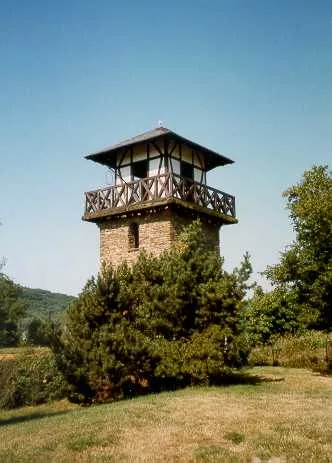
borders of the Roman Empire
UNESCO World Heritage · 0.4 km

Turret 48B (Willowford West)
Historic houses · 0.5 km
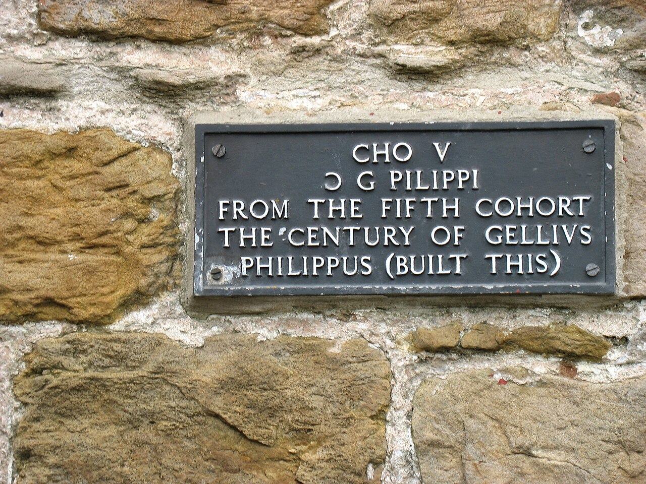
Turret 48B (Willowford West)
Archaeological sites · 0.5 km

Birdoswald Roman Fort
Forts · 0.5 km

Birdoswald Roman Fort and Study Centre
Museums · 0.5 km
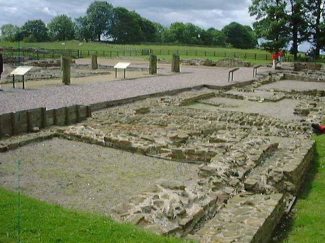
Banna
Hill forts · 0.5 km

Birdoswald
Archaeological sites · 0.5 km

Willowford Temporary Camp
Archaeological sites · 0.6 km

Willowford Roman temporary camp
Archaeological sites · 0.6 km
Nearby
📷 3Historic houses · North East England
Milecastle
Milecastle — a historic house in scotland-lowlands, United Kingdom.
📷 3Archaeological sites · North East England
Roman Altar
Roman Altar — a archaeological in scotland-lowlands, United Kingdom.
★ Iconic📷 5Natural landmarks · North West England
Hadrian's Wall Path
84-mile National Trail along the UNESCO Roman frontier — 7-day walk across Northumberland.
Flagship📷 3UNESCO World Heritage · North West England
borders of the Roman Empire
borders of the Roman Empire — world heritage site (limes in Germany and UK).
📷 3Historic houses · North East England
Turret 48B (Willowford West)
Turret 48B (Willowford West) — a historic house in scotland-lowlands, United Kingdom.
📷 5Archaeological sites · North East England
Turret 48B (Willowford West)
Turret 48B (Willowford West) — archaeological in scotland lowlands.
Where to eat & stay near Milecastle 49
Places to stay
 📷 5
📷 5Campsites · North East England
Chapel house farm walkers campsite
Chapel house farm walkers campsite — a campsite in scotland lowlands.
 📷 5
📷 5Hostels · North East England
Greenhead Hostel
Greenhead Hostel — a hostel in scotland lowlands.
 📷 5
📷 5Caravan parks · North East England
Blenkinsopp Castle Home Park
Blenkinsopp Castle Home Park — a caravan park in scotland lowlands.
 📷 5
📷 5Caravan parks · North West England
Cleugh Head Caravan Club
Cleugh Head Caravan Club — a caravan park in scotland lowlands.
 📷 5
📷 5Campsites · North West England
Camping at Banks
Camping at Banks — a campsite in scotland lowlands.
 📷 5
📷 5Campsites · North East England
Haltwhistle - Camping and Caravanning Club Site
Haltwhistle - Camping and Caravanning Club Site — a campsite in scotland lowlands.
Places to eat & drink
 📷 4
📷 4 📷 4
📷 4Historic pubs · North West England
Hallbankgate
Hallbankgate in England North East, United Kingdom.
 📷 5
📷 5Historic pubs · North West England
Graham Arms (West Of Gelt Bridge)
Graham Arms (West Of Gelt Bridge) in Scotland Lowlands, United Kingdom.
 📷 5
📷 5 📷 7
📷 7Historic pubs · North East England
Anchor Hotel
Anchor Hotel in Scotland Lowlands, United Kingdom.
 📷 5
📷 5Historic pubs · North West England
St Nicholas Arms Public House
St Nicholas Arms Public House in Scotland Lowlands, United Kingdom.
More places in this region
 📷 4
📷 4 📷 5
📷 5 📷 4
📷 4 📷 3
📷 3Roman villas · North East England
Milecastle 29
Milecastle 29 in England North East, United Kingdom.
Frequently asked questions
- Where is Milecastle 49?
- Milecastle 49 is in North-East England, United Kingdom (postcode CA8 7DD), in the parish of Waterhead.
- What is Milecastle 49?
- Milecastle 49 in England North East, United Kingdom.
- How do I get to Milecastle 49?
- The nearest railway station is Haltwhistle, about 8.8 km away. Drivers can use postcode CA8 7DD.
- Who owns Milecastle 49?
- Milecastle 49 is owned by English Heritage.
- Is Milecastle 49 a protected site?
- Yes — Milecastle 49 is part of the River Eden and Tributaries SSSI Site of Special Scientific Interest.
- How do I get to Milecastle 49?
- Drivers can navigate to postcode CA8 7DD. It sits within the Carlisle parliamentary constituency.