
Hill forts · North West England
Banna
In or near Greenhead.
Banna — Roman fort in Cumbria, England.

Wikimedia Commons contributors — see linked file page for photographer and licence licence

Plan your visit
- Typical visit
- 1 h–2 h
- Nearest railway station
- Brampton · 9.1 km
- Free entry
- Family-friendly
- Dog-friendly
- Limited wheelchair access
Getting there & planning your visit
To visit Banna, the nearest railway station is Brampton, located 9.1 km away. Entry is free, but accessibility is limited for wheelchair users. The postcode for sat-nav is CA8 7DD.
About
Banna is a hill fort in the United Kingdom. Owned by English Heritage. Managed by English Heritage. Part of Birdoswald Roman fort and the section of Hadrian's Wall and vallum between the River Irthing and the field boundaries east of milecastle 50. Wikidata describes it as: "Roman fort in Cumbria, England". Coordinates: 54.9898°, -2.6032°.
Photo gallery
See it from the streetimagery from 2022
Imagery © Mapillary contributors, CC BY-SA 4.0
Summary from the official site
Birdoswald Roman Fort is a historical site along Hadrian's Wall where visitors can explore the remains of the fort and learn about Roman Britain. The site features interactive displays, hands-on activities, and the longest visible stretch of Hadrian's Wall, making it an engaging destination for families and history enthusiasts.
Read more on the official property page.
Protected designations
- Site of Special Scientific Interest: River Eden and Tributaries SSSI
Designations sourced from Natural England open data under OGL v3.
From the Wikipedia article
Birdoswald Roman Fort was known as Banna ("peak, horn" in Celtic) in Roman times, reflecting the geography of the site on a triangular spur of land bounded by cliffs to the south and east commanding a broad meander of the River Irthing in Cumbria below. It lies towards the western end of Hadrian's Wall and is one of the best preserved of the 16 forts along the wall. It is also attached to the longest surviving stretch of Hadrian's Wall. Cumbria County Council were responsible for the management of Birdoswald fort from 1984 until the end of 2004, when English Heritage assumed responsibility.
Excerpt from Wikipedia under CC BY-SA 4.0. See the source article linked in Sources below.
Background
History
This western part of Hadrian's Wall was originally built using turf starting from 122AD. The stone fort was built some time after the wall, in the usual playing card shape, with gates to the east, west and south. It was 7.5 mi east from Camboglanna (Castlesteads) fort and 6.5 mi from Aesica (Great Chesters). The fort was occupied by Cohors I Aelia Dacorum and by other Roman auxiliaries from approximately 126AD to 400AD. The two-mile sector of Hadrian's Wall either side of Birdoswald is also of major interest. It is currently the only known sector of Hadrian's Wall in which the original turf wall was replaced, probably in the 130sAD, by a stone wall approximately further north, to line up…
Architecture
Inside were built the usual stone buildings, a central headquarters building (principia), granaries (horrea), and barracks. Unusually for an auxiliary fort, it also included an exercise building (basilica exercitatoria), perhaps reflecting the difficulties of training soldiers in the exposed site in the north of England. Geophysical surveys detected vici (civilian settlements) of different characters on the eastern, western and northern sides of the fort. A bathhouse was also located in the valley of the River Irthing.
Sourced from Wikipedia under CC BY-SA 4.0.
- Coordinates
- 54.9898, -2.6032
- District
- Cumberland
- Parish
- Waterhead
- Postcode
- CA8 7DD
- Parliamentary constituency
- Carlisle
- Phone
- 016977 47602
- Established
- 112
- Nearest railway station
- Brampton — 9.1 km
- Opening
- Daily 10am–5pm; last entry at 4.30pm
- Official site
- www.english-heritage.org.uk
Sources
- wikidata: Q2061016 (CC0)
- wikipedia: Banna (Birdoswald) (CC BY-SA 4.0)
- commons: Birdoswald Roman Fort - geograph.org.uk - 17585.jpg (CC BY-SA 4.0)
Other places nearby

Birdoswald
Archaeological sites · 0.0 km

Birdoswald Roman Fort and Study Centre
Museums · 0.0 km

Birdoswald Roman Fort
Forts · 0.1 km

Hadrian's Wall Path
Natural landmarks · 0.2 km

Birdoswald Roman fort and the section of Hadrian's Wall and vallum between the River Irthing and the field boundaries east of milecastle 50
Archaeological sites · 0.2 km

Waterhead
Archaeological sites · 0.3 km

Roman Altar
Archaeological sites · 0.3 km
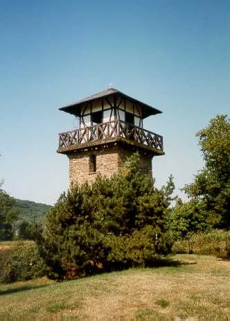
borders of the Roman Empire
UNESCO World Heritage · 0.3 km
Turret 49B
Archaeological sites · 0.4 km

Milecastle
Historic houses · 0.5 km
Milecastle 49
Roman villas · 0.5 km

Bastle at Upper Denton
Historic houses · 0.8 km
Nearby
📷 4Archaeological sites · North West England
Birdoswald
Birdoswald in England North East, United Kingdom.
📷 3Museums · North West England
Birdoswald Roman Fort and Study Centre
Birdoswald Roman Fort and Study Centre — a museum in scotland-lowlands, United Kingdom.
📷 5Forts · North West England
Birdoswald Roman Fort
Birdoswald Roman Fort is a fort in the United Kingdom.
★ Iconic📷 5Natural landmarks · North West England
Hadrian's Wall Path
84-mile National Trail along the UNESCO Roman frontier — 7-day walk across Northumberland.
📷 3Archaeological sites · North West England
Birdoswald Roman fort and the section of Hadrian's Wall and vallum between the River Irthing and the field boundaries east of milecastle 50
Birdoswald Roman fort and the section of Hadrian's Wall and vallum between the River Irthing and the field boundaries east of milecastle 50 — archaeological site in Waterhead, Carlisle, England, UK.
📷 4Archaeological sites · North West England
Waterhead
Waterhead in England North East, United Kingdom.
Where to eat & stay near Banna
Places to stay
 📷 5
📷 5Campsites · North East England
Chapel house farm walkers campsite
Chapel house farm walkers campsite — a campsite in scotland lowlands.
 📷 5
📷 5Hostels · North East England
Greenhead Hostel
Greenhead Hostel — a hostel in scotland lowlands.
 📷 5
📷 5Campsites · North West England
Camping at Banks
Camping at Banks — a campsite in scotland lowlands.
 📷 5
📷 5Caravan parks · North West England
Cleugh Head Caravan Club
Cleugh Head Caravan Club — a caravan park in scotland lowlands.
 📷 5
📷 5Caravan parks · North East England
Blenkinsopp Castle Home Park
Blenkinsopp Castle Home Park — a caravan park in scotland lowlands.
 📷 5
📷 5Places to eat & drink
 📷 4
📷 4 📷 4
📷 4Historic pubs · North West England
Hallbankgate
Hallbankgate in England North East, United Kingdom.
 📷 5
📷 5Historic pubs · North West England
Graham Arms (West Of Gelt Bridge)
Graham Arms (West Of Gelt Bridge) in Scotland Lowlands, United Kingdom.
 📷 5
📷 5 📷 7
📷 7Historic pubs · North East England
Anchor Hotel
Anchor Hotel in Scotland Lowlands, United Kingdom.
 📷 5
📷 5Historic pubs · North West England
St Nicholas Arms Public House
St Nicholas Arms Public House in Scotland Lowlands, United Kingdom.
More places run by English Heritage
 Flagship📷 10
Museums · London
Kenwood House
Kenwood House — art museum and historic house in Hampstead, London.
 📷 5
📷 5Galleries · London
Apsley House
Apsley House — London townhouse of the Dukes of Wellington.
 📷 5
📷 5Castles · London
Eynsford Castle
Eynsford Castle — castle, now ruinous, in Eynsford, Kent, England, UK.
 📷 5
📷 5Museums · London
Jewel Tower
Jewel Tower — medieval tower in Westminster, London, England, UK.
More places in this region
 📷 5
📷 5Hill forts · North West England
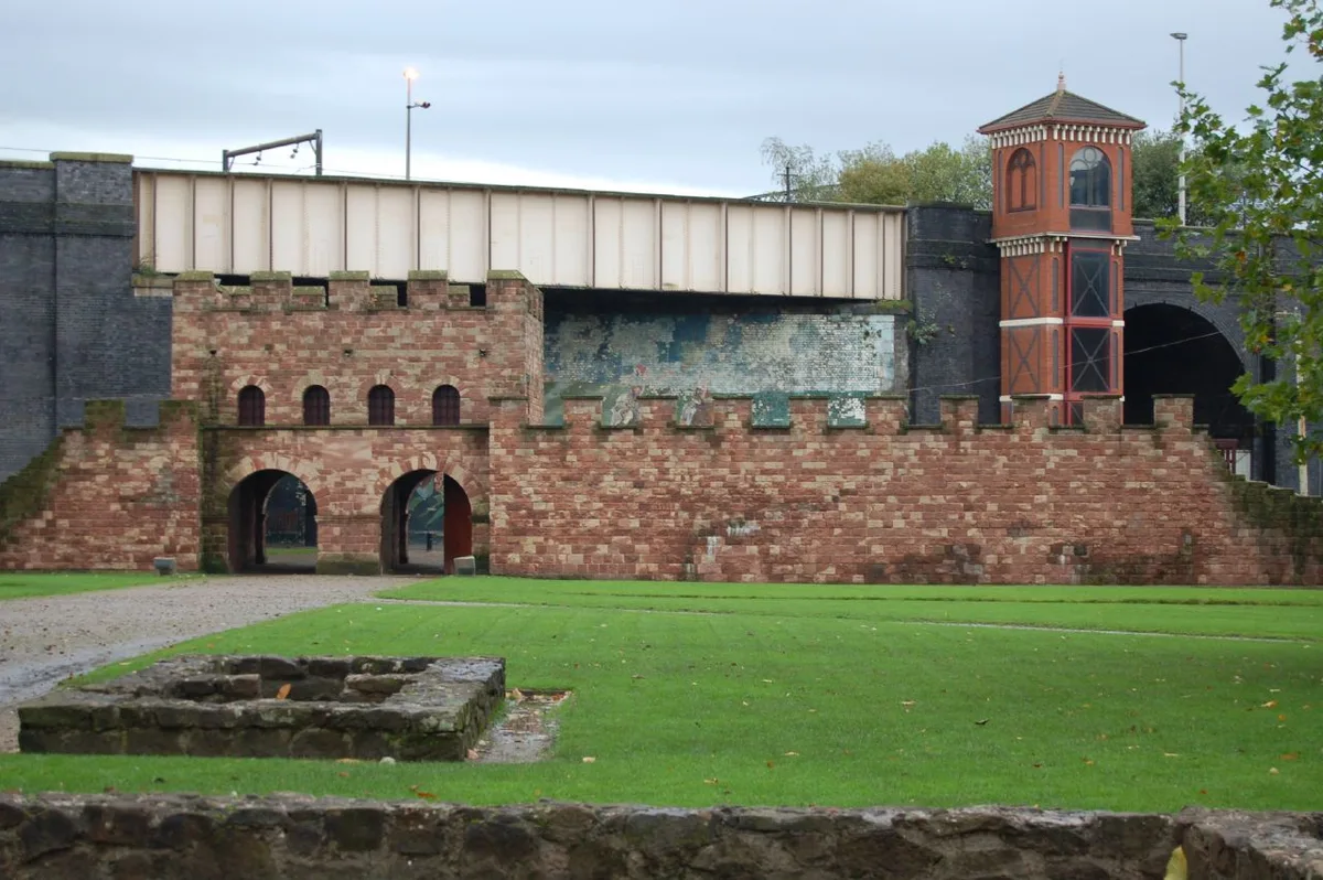
Mamucium
Mamucium — former Roman fort in the Castlefield area of Manchester in North West England.
 📷 3
📷 3Hill forts · North West England
Timperley Hall
Timperley Hall is a hill fort in the United Kingdom.
 📷 3
📷 3Hill forts · North West England
Watch Hill Castle
Watch Hill Castle — medieval castle in Bowdon, Greater Manchester, England, UK.
 📷 5
📷 5Hill forts · North West England
Buckton Castle
Buckton Castle — 12th-century castle in Mossley, Greater Manchester, England, UK.
Frequently asked questions
- Where is Banna?
- Banna is in the Scottish Lowlands, United Kingdom (postcode CA8 7DD), in the parish of Waterhead.
- What is Banna?
- Banna — Roman fort in Cumbria, England.
- How do I get to Banna?
- The nearest railway station is Brampton, about 9.1 km away. Drivers can use postcode CA8 7DD.
- When was Banna built?
- Built or established in 112.
- Who runs Banna?
- Banna is operated by English Heritage.
- Is Banna a protected site?
- Yes — Banna is part of the River Eden and Tributaries SSSI Site of Special Scientific Interest.
- Is Banna free to visit?
- Yes, Banna is free to enter.
- How do I get to Banna?
- Drivers can navigate to postcode CA8 7DD. It sits within the Carlisle parliamentary constituency.