
Wildlife reserves · East of England
Mickfield Meadow
In or near Stonham Aspal.
Mickfield Meadow — Suffolk Wildlife Trust nature reserve.

Wikimedia Commons contributors — see linked file page for photographer and licence licence

Plan your visit
- Typical visit
- 2 h–4 h
- Best time of year
- Autumn & winter (migration & wildfowl)
- Nearest railway station
- Dovebrook · 2.9 km
- Free entry
- Family-friendly
- Dog-friendly
- Limited wheelchair access
Getting there & planning your visit
Mickfield Meadow is located in Mid Suffolk, Suffolk, with the postcode IP14 5LN. The nearest railway station is Dovebrook, which is 2.9 km away. Entry is free, but wheelchair access is limited.
About
Mickfield Meadow is a wildlife reserve in the United Kingdom. Heritage designation: Site of Special Scientific Interest. Managed by Suffolk Wildlife Trust. Wikidata describes it as: "Suffolk Wildlife Trust nature reserve". Coordinates: 52.2257°, 1.1372°.
Photo gallery
Protected designations
- Site of Special Scientific Interest: Mickfield Meadow SSSI
- Area of Outstanding Natural Beauty: Suffolk Coast & Heaths
Designations sourced from Natural England open data under OGL v3.
From the Wikipedia article
Mickfield Meadow is a 1.9-hectare (4.7-acre) biological Site of Special Scientific Interest north of Mickfield in Suffolk. It is managed by the Suffolk Wildlife Trust. Fertilisers and herbicides have never been used on this meadow, and as a result it has a rich variety of flora, including fritillary. The dominant grasses are meadow foxtail, cocksfoot, false oat-grass, timothy and Yorkshire fog. There is access by walking along a field margin from Brook Lane.
Excerpt from Wikipedia under CC BY-SA 4.0. See the source article linked in Sources below.
- Coordinates
- 52.2257, 1.1372
- County
- Suffolk
- District
- Mid Suffolk
- Parish
- Mickfield
- Postcode
- IP14 5LN
- Parliamentary constituency
- Central Suffolk and North Ipswich
- Nearest railway station
- Dovebrook — 2.9 km
Sources
- wikidata: Q6838835 (CC0)
- wikipedia: Mickfield Meadow (CC BY-SA 4.0)
- commons: Entrance to Mickfield Meadow - geograph.org.uk - 320285.jpg (CC BY-SA 4.0)
Other places nearby

Mickfield
Villages · 1.6 km

Mickfield Village Sign
Public art & sculpture · 1.7 km

Church of St Andrew
Historic churches · 1.8 km

The Red Lion, Debenham
Historic pubs · 3.0 km

Ancient House
Historic houses · 3.0 km

Mid Suffolk Light Railway
Museums · 3.0 km

Debenham
Villages · 3.0 km

Debenham War Memorial
Memorials & monuments · 3.0 km

Mid Suffolk Light Railway Museum
Museums · 3.1 km

Church of St Mary Magdalene
Historic churches · 3.1 km

Debenham Village Sign
Public art & sculpture · 3.1 km

Wetheringsett War Memorial
Memorials & monuments · 3.2 km
Nearby
📷 5📷 3Public art & sculpture · East of England
Mickfield Village Sign
Mickfield Village Sign — a public art in East of England, United Kingdom.
📷 3Historic churches · East of England
Church of St Andrew
Church of St Andrew — church in Mickfield, Suffolk, England, UK.
📷 5Historic pubs · East of England
The Red Lion, Debenham
The Red Lion, Debenham in England East, United Kingdom.
📷 3Historic houses · East of England
Ancient House
Ancient House — house in Debenham, Suffolk, England, UK.
📷 3Museums · East of England
Mid Suffolk Light Railway
Mid Suffolk Light Railway — a museum in East of England, United Kingdom.
Where to eat & stay near Mickfield Meadow
Places to stay
 📷 5
📷 5 📷 5
📷 5Campsites · East of England
Broughton Hall Caravan Club CL
Broughton Hall Caravan Club CL — a campsite in england east.
 📷 7
📷 7Hotels · East of England
Limes Hotel
Limes Hotel — a hotel in england east.
 📷 5
📷 5Campsites · East of England
Swattesfield Campsite
Swattesfield Campsite — a campsite in england east.
 📷 5
📷 5Caravan parks · East of England
Atherlington Hall
Atherlington Hall — a caravan park in england east.
 📷 7
📷 7Places to eat & drink
📷 5Historic pubs · East of England
The Red Lion, Debenham
The Red Lion, Debenham in England East, United Kingdom.
 📷 5
📷 5 📷 7
📷 7Historic pubs · East of England
The Greyhound, Gosbeck
The Greyhound, Gosbeck in England East, United Kingdom.
 📷 7
📷 7 📷 5
📷 5Historic pubs · East of England
New Bell Public House
New Bell Public House in England East, United Kingdom.
 📷 5
📷 5Historic pubs · East of England
The Swan Inn, Worlingworth
The Swan Inn, Worlingworth in England East, United Kingdom.
More places run by Suffolk Wildlife Trust
 Flagship📷 3
Wildlife reserves · East of England
Alde Mudflats
Alde Mudflats — Suffolk Wildlife Trust nature reserve.
 📷 5
📷 5Wildlife reserves · East of England
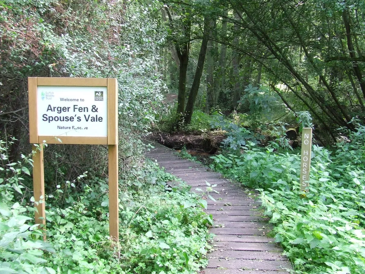
Arger Fen
Arger Fen — Suffolk Wildlife Trust nature reserve.
 Flagship📷 5
Wildlife reserves · East of England
Black Bourn Valley
Black Bourn Valley — Suffolk Wildlife Trust nature reserve.
 📷 3
📷 3Wildlife reserves · East of England
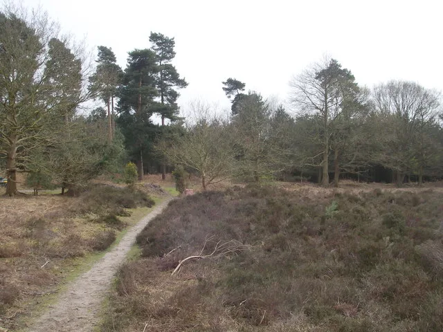
Blaxhall Common
Blaxhall Common — Suffolk Wildlife Trust nature reserve.
More places in this region
 Flagship📷 10
Wildlife reserves · East of England
Amwell Quarry
Amwell Quarry — nature reserve in United Kingdom.
 Flagship📷 10
Wildlife reserves · East of England
Aubrey Buxton Nature Reserve
Aubrey Buxton Nature Reserve — Essex Wildlife Trust Nature reserve.
 Flagship📷 10
Wildlife reserves · East of England
Canvey Wick
Canvey Wick — nature reserve in Essex, United Kingdom.
 Flagship📷 10
Wildlife reserves · East of England
Crowsheath Wood
Crowsheath Wood — Essex Wildlife Trust Nature reserve.
Frequently asked questions
- Where is Mickfield Meadow?
- Mickfield Meadow is in Suffolk, East of England, United Kingdom (postcode IP14 5LN), in the parish of Mickfield.
- What is Mickfield Meadow?
- Mickfield Meadow — Suffolk Wildlife Trust nature reserve.
- How do I get to Mickfield Meadow?
- The nearest railway station is Dovebrook, about 2.9 km away. The nearest town is Stonham Aspal. Drivers can use postcode IP14 5LN.
- Who runs Mickfield Meadow?
- Mickfield Meadow is operated by Suffolk Wildlife Trust.
- Is Mickfield Meadow a listed building?
- Mickfield Meadow is officially recognised as Site of Special Scientific Interest listed.
- Is Mickfield Meadow a protected site?
- Yes — Mickfield Meadow is part of the Mickfield Meadow SSSI Site of Special Scientific Interest and the Suffolk Coast & Heaths National Landscape (AONB).
- Is Mickfield Meadow free to visit?
- Yes, Mickfield Meadow is free to enter.
- How do I get to Mickfield Meadow?
- The nearest railway station is Dovebrook, about 2.9 km away. Drivers can navigate to postcode IP14 5LN.