
Wildlife reserves · East of England
Arger Fen
In or near Assington.
Arger Fen — Suffolk Wildlife Trust nature reserve.

Wikimedia Commons contributors — see linked file page for photographer and licence licence

Plan your visit
- Typical visit
- 2 h–4 h
- Best time of year
- Autumn & winter (migration & wildfowl)
- Nearest railway station
- Bures · 3.7 km
- Free entry
- Family-friendly
- Dog-friendly
- Limited wheelchair access
Getting there & planning your visit
To visit Arger Fen, the nearest railway station is Bures, located 3.7 km away. Entry to the wildlife reserve is free, but wheelchair accessibility is limited. The postcode for sat-nav is CO8 5BN.
About
Arger Fen is a wildlife reserve in the United Kingdom. It covers approximately 110 km². Heritage designation: Site of Special Scientific Interest. Managed by Suffolk Wildlife Trust. Address: CO8 5BN. Wikidata describes it as: "Suffolk Wildlife Trust nature reserve". Coordinates: 51.9860°, 0.8180°.
Photo gallery
Summary from the official site
Arger Fen & Spouse's Vale Nature Reserve is a diverse landscape featuring ancient and naturally regenerating woodlands, wet meadows, and fen. Visitors can explore the rich wildlife, including rare species like the hazel dormouse and barbastelle bat, while enjoying the beautiful scenery and various walking trails.
Read more on the official property page.
Protected designations
- Site of Special Scientific Interest: Arger Fen SSSI
- Area of Outstanding Natural Beauty: Dedham Vale
Designations sourced from Natural England open data under OGL v3.
From the Wikipedia article
Arger Fen is a 49.7-hectare (123-acre) biological Site of Special Scientific Interest (SSSI) south-east of Sudbury in Suffolk, England. The site occupies two separate areas. The 17.6-hectare (43-acre) Arger Fen Local Nature Reserve is part of the larger eastern block, and contains part of the 21-hectare (52-acre) Tiger Hill Local Nature Reserve, along with part of the 110-hectare (270-acre) Arger Fen and Spouse's Vale, a nature reserve managed by the Suffolk Wildlife Trust. The site lies in the Dedham Vale Area of Outstanding Natural Beauty, The site is made up of a mix of woodland and meadow habitats with much of the woodland believed to be ancient in origin. The underlying geology is a mixture of sand and gravel banks and clay soils, producing a mix of habitat types, including wet fen type habitats at lower levels and dry grasslands on acidic soils on hill tops. It is one of only two known areas of ancient woodland in Eastern England which feature wild cherry (Prunus avium). Badgers are found on the reserve in a number of active setts. Other rare fauna include the hazel dormouse and barbastelle bat. In 2012 the reserve, which has ash trees at least 300 years old, was identified as a site of ash dieback and in 2013 it became a research site for Forestry Commission scientists studying genetic resistance to the Chalara fungus which causes the disease. There are onsite car parking facilities as well as two-way marked trails, including areas of board walk. The trust has attempted to encourage the growth of the dormouse population, partly by expanding the area of land it owns at Arger Fen.
Excerpt from Wikipedia under CC BY-SA 4.0. See the source article linked in Sources below.
- Coordinates
- 51.9860, 0.8180
- County
- Suffolk
- District
- Babergh
- Parish
- Nayland-with-Wissington
- Postcode
- CO8 5BN
- Parliamentary constituency
- South Suffolk
- Phone
- 01473 890089
- Nearest railway station
- Bures — 3.7 km
- Opening
- Open at all times
- Official site
- www.suffolkwildlifetrust.org
Sources
- wikidata: Q4789523 (CC0)
- wikipedia: Arger Fen (CC BY-SA 4.0)
- commons: Arger Fen.jpg (CC BY-SA 4.0)
Featured in these 3 guides
Other places nearby

Little Ropers Woodland Camping
Campsites · 1.4 km

Honey Hall
Historic houses · 2.0 km

Chapel of St Stephen
Chapels · 2.2 km

Edmund King & Martyr
Memorials & monuments · 2.2 km

Leavenheath Village Sign
Public art & sculpture · 2.3 km

Assington
Towns & cities · 2.3 km

Smallbridge Hall
Historic houses · 2.7 km

Rushbanks Campsite
Campsites · 2.8 km

Wissington
Villages · 3.0 km

Wormingford
Towns & cities · 3.1 km

Bures St Mary
Other places · 3.2 km

Bures St Mary War Memorial
Memorials & monuments · 3.3 km
Nearby
📷 5Campsites · East of England
Little Ropers Woodland Camping
Little Ropers Woodland Camping — a campsite in england east.
📷 3Historic houses · East of England
Honey Hall
Honey Hall — house in Leavenheath, Babergh, England, UK.
📷 3Chapels · East of England
Chapel of St Stephen
Chapel of St Stephen — Grade I listed chapel in Babergh, Suffolk, England, UK.
📷 3Memorials & monuments · East of England
Edmund King & Martyr
Edmund King & Martyr — a memorial in East of England, United Kingdom.
📷 3Public art & sculpture · East of England
Leavenheath Village Sign
Leavenheath Village Sign — a public art in East of England, United Kingdom.
📷 5Towns & cities · East of England
Assington
Assington — village in Babergh, Suffolk, United Kingdom.
Where to eat & stay near Arger Fen
Places to stay
📷 5Campsites · East of England
Little Ropers Woodland Camping
Little Ropers Woodland Camping — a campsite in england east.
📷 5Campsites · East of England
Rushbanks Campsite
Rushbanks Campsite — a campsite in england east.
 📷 5
📷 5B&Bs · East of England
Poplar Farmhouse
Poplar Farmhouse — a bed-and-breakfast in england east.
 📷 5
📷 5 📷 5
📷 5Caravan parks · East of England
Polstead Camping & Caravan Site
Polstead Camping & Caravan Site — a caravan park in england east.
 📷 5
📷 5Campsites · East of England
White Horse Inn Camp Site
White Horse Inn Camp Site — a campsite in england east.
Places to eat & drink
 📷 5
📷 5 📷 5
📷 5Historic pubs · East of England
The Anchor Public House
The Anchor Public House in England East, United Kingdom.
 📷 7
📷 7Restaurants · East of England
The Angel Inn
The Angel Inn — a restaurant in england east.
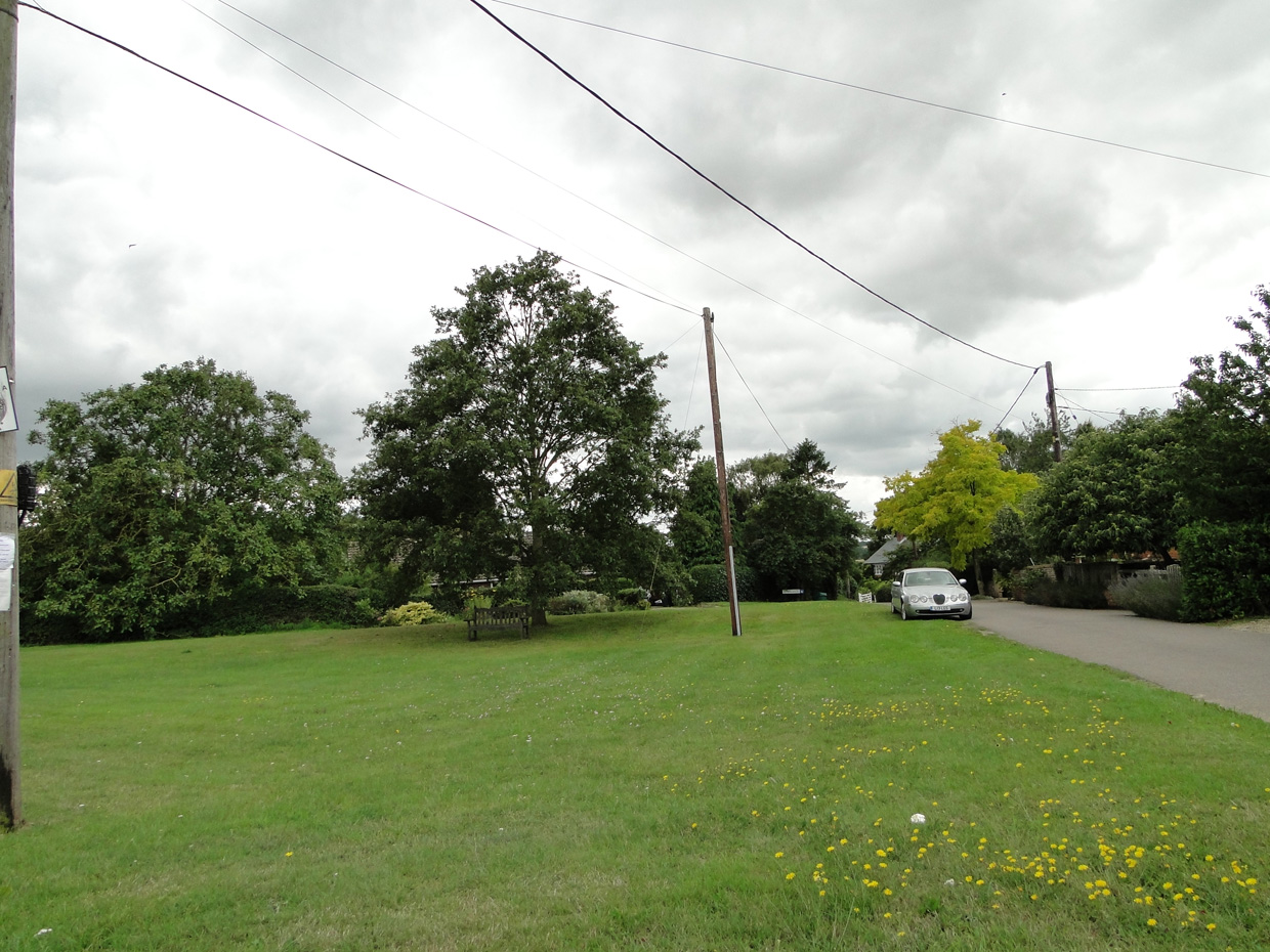 📷 5
📷 5 📷 7
📷 7 📷 7
📷 7More places run by Suffolk Wildlife Trust
 Flagship📷 3
Wildlife reserves · East of England
Alde Mudflats
Alde Mudflats — Suffolk Wildlife Trust nature reserve.
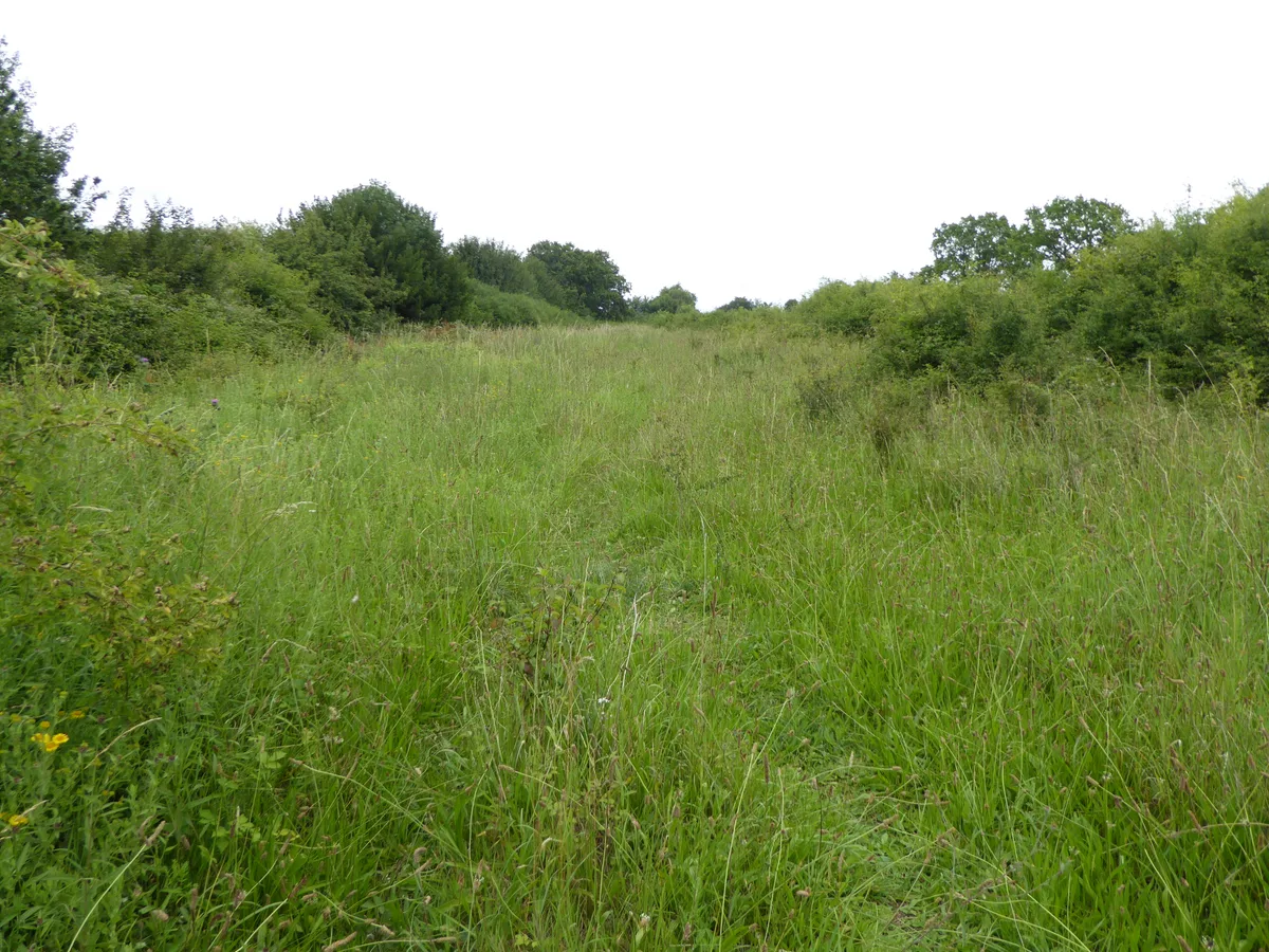 Flagship📷 5
Wildlife reserves · East of England
Black Bourn Valley
Black Bourn Valley — Suffolk Wildlife Trust nature reserve.
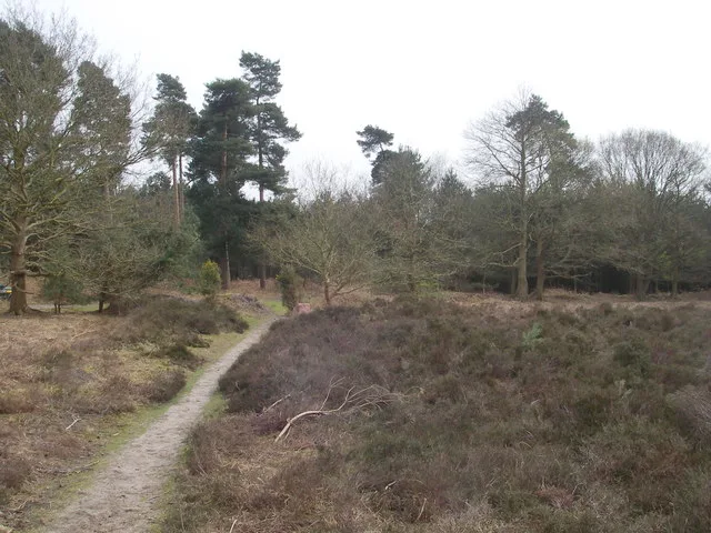 📷 3
📷 3Wildlife reserves · East of England
Blaxhall Common
Blaxhall Common — Suffolk Wildlife Trust nature reserve.
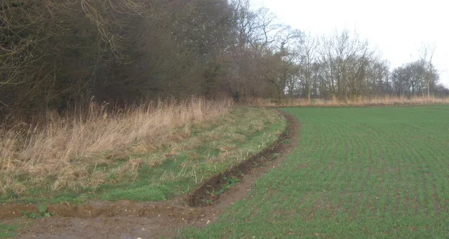 Flagship📷 3
Wildlife reserves · East of England
Bonny Wood
Bonny Wood — Suffolk Wildlife Trust nature reserve.
More places in this region
 Flagship📷 10
Wildlife reserves · East of England
Amwell Quarry
Amwell Quarry — nature reserve in United Kingdom.
 Flagship📷 10
Wildlife reserves · East of England
Aubrey Buxton Nature Reserve
Aubrey Buxton Nature Reserve — Essex Wildlife Trust Nature reserve.
 Flagship📷 10
Wildlife reserves · East of England
Canvey Wick
Canvey Wick — nature reserve in Essex, United Kingdom.
 Flagship📷 10
Wildlife reserves · East of England
Crowsheath Wood
Crowsheath Wood — Essex Wildlife Trust Nature reserve.
Frequently asked questions
- Where is Arger Fen?
- Arger Fen is in Suffolk, East of England, United Kingdom (postcode CO8 5BN), in the parish of Nayland-with-Wissington.
- What is Arger Fen?
- Arger Fen — Suffolk Wildlife Trust nature reserve.
- How do I get to Arger Fen?
- The nearest railway station is Bures, about 3.7 km away. The nearest town is Assington. Drivers can use postcode CO8 5BN.
- Who runs Arger Fen?
- Arger Fen is operated by Suffolk Wildlife Trust.
- Is Arger Fen a listed building?
- Arger Fen is officially recognised as Site of Special Scientific Interest listed.
- Is Arger Fen a protected site?
- Yes — Arger Fen is part of the Arger Fen SSSI Site of Special Scientific Interest and the Dedham Vale National Landscape (AONB).
- Is Arger Fen free to visit?
- Yes, Arger Fen is free to enter.
- How do I get to Arger Fen?
- The nearest railway station is Bures, about 3.7 km away. Drivers can navigate to postcode CO8 5BN.