
Wildlife reserves · East of England
Canvey Wick
In or near St Mary Hoo.
Canvey Wick — nature reserve in Essex, United Kingdom.

Wikimedia Commons contributors — see linked file page for photographer and licence licence

Plan your visit
- Typical visit
- 2 h–4 h
- Best time of year
- Autumn & winter (migration & wildfowl)
- Nearest railway station
- Benfleet · 3.0 km
- Free entry
- Dog-friendly
Getting there & planning your visit
Canvey Wick is located in Castle Point, Essex, with the postcode SS8 0PY. The nearest railway station is Benfleet, which is 3 km away. Entry to the wildlife reserve is free.
About
Canvey Wick is a wildlife reserve in the United Kingdom. It covers approximately 93 km². Heritage designation: Site of Special Scientific Interest. Managed by Royal Society for the Protection of Birds. Wikidata describes it as: "nature reserve in Essex, United Kingdom". Coordinates: 51.5225°, 0.5362°.
Photo gallery
Protected designations
- Site of Special Scientific Interest: Canvey Wick SSSI
- Site of Special Scientific Interest: Holehaven Creek SSSI
Designations sourced from Natural England open data under OGL v3.
From the Wikipedia article
Canvey Wick is a 93.2-hectare (230-acre) Site of Special Scientific Interest at the south-west corner of Canvey Island in Essex. It is owned by The Land Trust and 18.5 hectares (46 acres) is managed by the Royal Society for the Protection of Birds and Buglife as a nature reserve, who are working to bring more of the area under management and to improve public access.
Excerpt from Wikipedia under CC BY-SA 4.0. See the source article linked in Sources below.
Background
Description
Canvey Wick is in the southwest corner of Canvey Island, it is an open area situated between Holehaven Creek to the south and the grazing marshes of West Canvey Marsh to the north. The site was earmarked for the construction of an oil refinery for Occidental Petroleum, but the oil price crisis of 1973 meant that the refinery never opened.
Sourced from Wikipedia under CC BY-SA 4.0.
- Coordinates
- 51.5225, 0.5362
- County
- Essex
- District
- Castle Point
- Parish
- Canvey Island
- Postcode
- SS8 0PY
- Parliamentary constituency
- Castle Point
- Nearest railway station
- Benfleet — 3 km
Sources
- wikidata: Q22000544 (CC0)
- wikipedia: Canvey Wick (CC BY-SA 4.0)
- commons: Occidental jetty and reed beds at Canvey Wick.jpg (CC BY-SA 4.0)
Other places nearby

Canvey Wick
Forests & woodlands · 0.0 km

Willows Cemetery
Cemeteries · 0.6 km

Hole Haven
Natural landmarks · 1.2 km

Dutch Cottage Museum
Museums · 1.4 km

Coryton
Villages · 1.5 km

Coryton 2
Piers · 1.5 km

West Canvey Marshes RSPB reserve
Wildlife reserves · 1.6 km

Holehaven Pier
Piers · 1.6 km

Coryton 1
Piers · 1.6 km

Horseshoes Bay
Natural landmarks · 1.6 km

The Lobster Smack Public House
Historic pubs · 1.7 km

Canvey Island Heritage Centre Museum
Museums · 1.8 km
Nearby
📷 5Forests & woodlands · East of England
Canvey Wick
Canvey Wick is a forest or woodland in the United Kingdom.
📷 5Cemeteries · East of England
Willows Cemetery
Willows Cemetery is a cemetery in the United Kingdom.
📷 5📷 5Museums · East of England
Dutch Cottage Museum
Dutch Cottage Museum — a museum in england-london, United Kingdom.
📷 5📷 5Where to eat & stay near Canvey Wick
Places to stay
 📷 5
📷 5Campsites · East of England
Thorney Bay Camp
Thorney Bay Camp — a campsite in england london.

 📷 5
📷 5 📷 5
📷 5Caravan parks · South East England
Haven Kent Coast (Allhallows) Leisure Park
Haven Kent Coast (Allhallows) Leisure Park — a caravan park in england south east.
 📷 5
📷 5Campsites · East of England
Thames View Camping
Thames View Camping — a campsite in england london.
 📷 5
📷 5Places to eat & drink
📷 5Historic pubs · East of England
The Lobster Smack Public House
The Lobster Smack Public House in England South East, United Kingdom.
 📷 5
📷 5Historic pubs · East of England
The Half Crown Inn
The Half Crown Inn in England South East, United Kingdom.
 📷 5
📷 5Historic pubs · East of England
The Anchor Inn And Building Attached To Right
The Anchor Inn And Building Attached To Right in England South East, United Kingdom.
 📷 5
📷 5Cafés · East of England
Labworth Café
Labworth Café — a café in england london.
 📷 5
📷 5Historic pubs · East of England
White Lion Public House
White Lion Public House in England South East, United Kingdom.
 📷 5
📷 5More places run by Royal Society for the Protection of Birds
 📷 5
📷 5Hill forts · South East England
Shornemead Fort
Shornemead Fort — fort in Shorne, Kent, England, UK.
 📷 5
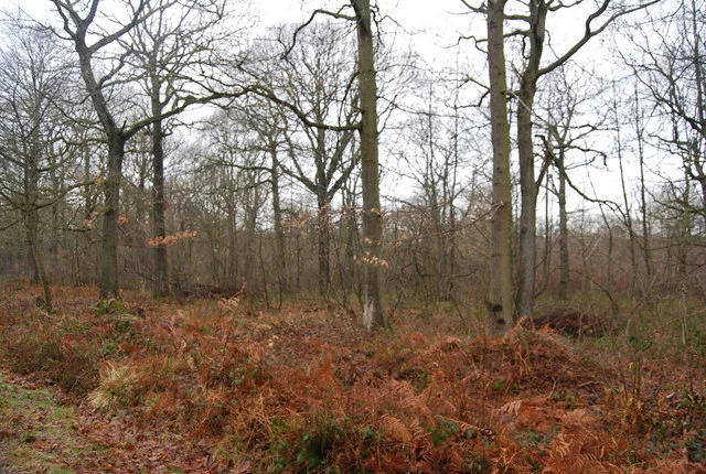
📷 5Wildlife reserves · South East England
Amberley Wild Brooks
Amberley Wild Brooks — nature reserve in the United Kingdom.
 📷 5
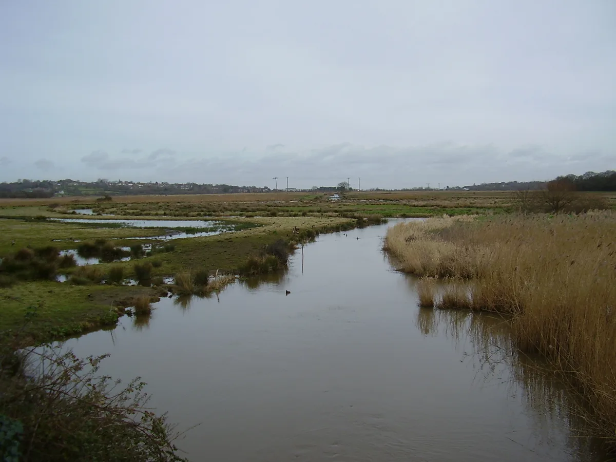
📷 5Wildlife reserves · South East England
Blean Woods RSPB Reserve
Blean Woods RSPB Reserve — RSPB nature reserve in the United Kingdom.
 📷 5
📷 5Wildlife reserves · South East England
Brading Marshes RSPB reserve
Brading Marshes RSPB reserve — RSPB nature reserve on the Isle of Wight.
More places in this region
 Flagship📷 10
Wildlife reserves · East of England
Amwell Quarry
Amwell Quarry — nature reserve in United Kingdom.
 Flagship📷 10
Wildlife reserves · East of England
Aubrey Buxton Nature Reserve
Aubrey Buxton Nature Reserve — Essex Wildlife Trust Nature reserve.
 Flagship📷 10
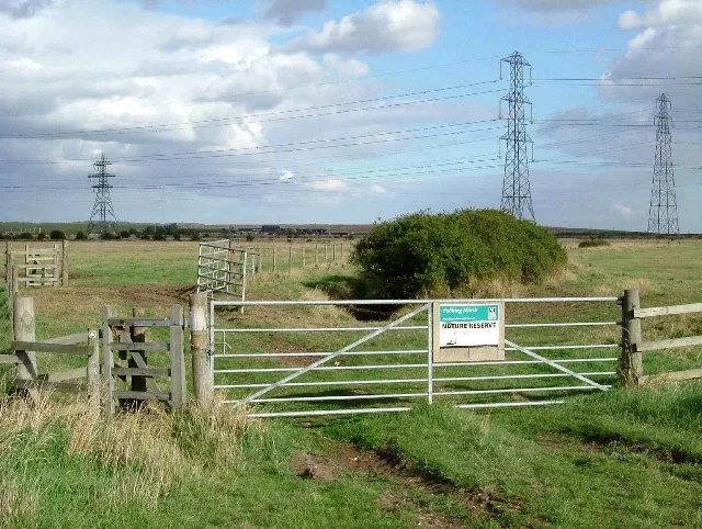
Wildlife reserves · East of England
Crowsheath Wood
Crowsheath Wood — Essex Wildlife Trust Nature reserve.
 Flagship📷 5
Wildlife reserves · East of England
Fobbing Marsh
Fobbing Marsh — Essex Wildlife Trust Nature reserve.
Frequently asked questions
- Where is Canvey Wick?
- Canvey Wick is in Essex, London, United Kingdom (postcode SS8 0PY), in the parish of Canvey Island.
- What is Canvey Wick?
- Canvey Wick — nature reserve in Essex, United Kingdom.
- How do I get to Canvey Wick?
- The nearest railway station is Benfleet, about 3.0 km away. Drivers can use postcode SS8 0PY.
- Who runs Canvey Wick?
- Canvey Wick is operated by Royal Society for the Protection of Birds.
- Is Canvey Wick a listed building?
- Canvey Wick is officially recognised as Site of Special Scientific Interest listed.
- Is Canvey Wick a protected site?
- Yes — Canvey Wick is part of the Canvey Wick SSSI Site of Special Scientific Interest and the Holehaven Creek SSSI Site of Special Scientific Interest.
- Is Canvey Wick free to visit?
- Yes, Canvey Wick is free to enter.
- How do I get to Canvey Wick?
- The nearest railway station is Benfleet, about 3.0 km away. Drivers can navigate to postcode SS8 0PY.