
Archaeological sites · East of England
Maulden Wood
In or near Maulden.
Maulden Wood — woodland in Bedfordshire, England.

Wikimedia Commons contributors — see linked file page for photographer and licence licence

Plan your visit
- Typical visit
- 45 min–1.5 h
- Nearest railway station
- Flitwick · 5.2 km
- Free entry
- Dog-friendly
Getting there & planning your visit
To visit Maulden Wood, the nearest railway station is Flitwick, located 5.2 km away. The postcode for navigation is MK45 2AP. Entry to the site is free.
About
Maulden Wood is an archaeological site in the United Kingdom. Heritage designation: Site of Special Scientific Interest. Wikidata describes it as: "woodland in Bedfordshire, England". Coordinates: 52.0386°, -0.4439°.
Photo gallery
Protected designations
- Site of Special Scientific Interest: Maulden Wood and Pennyfather's Hill SSSI
Designations sourced from Natural England open data under OGL v3.
From the Wikipedia article
Maulden Wood is a woodland situated in Bedfordshire, England, near the village of Maulden, on the greensand ridge that stretches from Leighton Buzzard to Gamlingay. It includes Maulden Wood and Pennyfather's Hill, a 148.8 hectare, biological Site of Special Scientific Interest (SSSI).
Excerpt from Wikipedia under CC BY-SA 4.0. See the source article linked in Sources below.
Background
History
The north of Maulden Wood includes several Roman and Iron Age archaeological sites along Limbersey Lane and on the site of Limbersey Farm. There are also sites within the wood of medieval origin, especially on the north end of the wood, and on the west (Maulden) end of the wood. The north end of the lay by on the A6 is the site of the 1961 A6 murder.
Description
Maulden Wood is classed as a semi-natural broadleaf woodland, on acidic grassland and includes some conifer plantations. Paths through the lead can be reached from Maulden Church, through Church Field, and from the A6 road layby through the wood. There are grasslands in the centre of the wood. They are managed by the Greensand Trust and Forestry England.
Visiting
Maulden Wood is open to the public all year round. It is accessed from the Deadman's Hill layby on the A6 adjacent to the wood. and from Maulden Church Meadow.
Sourced from Wikipedia under CC BY-SA 4.0.
- Coordinates
- 52.0386, -0.4439
- District
- Central Bedfordshire
- Parish
- Maulden
- Postcode
- MK45 2AP
- Parliamentary constituency
- Mid Bedfordshire
- Nearest railway station
- Flitwick — 5.2 km
Sources
- wikidata: Q6792446 (CC0)
- wikipedia: Maulden Wood (CC BY-SA 4.0)
- commons: Maulden Wood, Beds - geograph.org.uk - 64552.jpg (CC BY-SA 4.0)
Other places nearby

Ailesbury Mausoleum
Memorials & monuments · 1.3 km

The Flying Horse Public House
Historic pubs · 1.8 km

The Green Man
Restaurants · 1.9 km

Maulden
Towns & cities · 2.0 km

War Memorial, St Mary's Churchyard
Memorials & monuments · 2.3 km
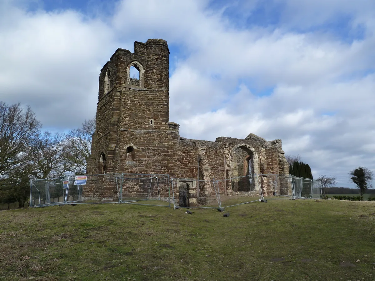
St Marys Church, Clophill
Historic churches · 2.3 km

Kings Wood
Forests & woodlands · 2.5 km
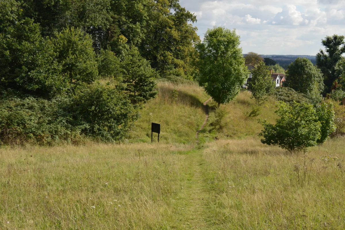
Cut-throat Meadow
Wildlife reserves · 2.9 km

Haynes Church End
Towns & cities · 2.9 km

Newbury Manor
Manor houses · 2.9 km

Obelisk At South End Of Long Drive
Forts · 3.0 km

Houghton House
Historic houses · 3.0 km
Nearby
📷 5Memorials & monuments · East of England
Ailesbury Mausoleum
Ailesbury Mausoleum is a memorial in the United Kingdom.
📷 5Historic pubs · East of England
The Flying Horse Public House
The Flying Horse Public House in England East, United Kingdom.
📷 5📷 5Towns & cities · East of England
Maulden
Maulden — village and civil parish in Bedfordshire, UK.
📷 5Memorials & monuments · East of England
War Memorial, St Mary's Churchyard
War Memorial, St Mary's Churchyard — Grade II listed building-listed memorial in england-london, United Kingdom.
📷 5Historic churches · East of England
St Marys Church, Clophill
St Marys Church, Clophill — church in Clophill, Bedfordshire, England, UK.
Where to eat & stay near Maulden Wood
Places to stay
 📷 5
📷 5Hotels · East of England
The White Hart
The White Hart — a hotel in england london.
 📷 5
📷 5Campsites · East of England
Belvedere Camping
Belvedere Camping — a campsite in england west midlands.
 📷 5
📷 5 📷 7
📷 7B&Bs · East of England
Old Warden Guest House
Old Warden Guest House — a bed-and-breakfast in england london.
 📷 5
📷 5Campsites · East of England
Lower Woodend Farm
Lower Woodend Farm — a campsite in england west midlands.
 📷 5
📷 5Campsites · East of England
The Rose and Crown
The Rose and Crown — a campsite in england west midlands.
Places to eat & drink
📷 5Historic pubs · East of England
The Flying Horse Public House
The Flying Horse Public House in England East, United Kingdom.
📷 5📷 5 📷 5
📷 5Historic pubs · East of England
The White Hart Public House
The White Hart Public House in England East, United Kingdom.
 📷 5
📷 5 📷 5
📷 5More archaeological sites in this region
 Flagship📷 10
Archaeological sites · East of England
Nunn Wood
Nunn Wood — woods in Essex, England, a Site of Special Scientific Interest.
 📷 5
📷 5Archaeological sites · East of England
A Bronze Age post alignment and timber platform at Flag Fen and associated Bronze Age and later field systems and settlement to
A Bronze Age post alignment and timber platform at Flag Fen and associated Bronze Age and later field systems and settlement to — archaeological site in Thorney, City of Peterborough, England, UK.
 📷 5
📷 5Archaeological sites · East of England
Causewayed enclosure 900m west of Great Wilbraham parish church
Causewayed enclosure 900m west of Great Wilbraham parish church — archaeological site in Great Wilbraham, South Cambridgeshire, England, UK.
 📷 5
📷 5Archaeological sites · East of England
Dray's Ditches
Dray's Ditches — archaeological site in Streatley, Central Bedfordshire, England, UK.
Frequently asked questions
- Where is Maulden Wood?
- Maulden Wood is in London, United Kingdom (postcode MK45 2AP), in the parish of Maulden.
- What is Maulden Wood?
- Maulden Wood — woodland in Bedfordshire, England.
- How do I get to Maulden Wood?
- The nearest railway station is Flitwick, about 5.2 km away. Drivers can use postcode MK45 2AP.
- Is Maulden Wood a listed building?
- Maulden Wood is officially recognised as Site of Special Scientific Interest listed.
- Is Maulden Wood a protected site?
- Yes — Maulden Wood is part of the Maulden Wood and Pennyfather's Hill SSSI Site of Special Scientific Interest.
- Is Maulden Wood free to visit?
- Yes, Maulden Wood is free to enter.
- How do I get to Maulden Wood?
- The nearest railway station is Flitwick, about 5.2 km away. Drivers can navigate to postcode MK45 2AP.