
Wildlife reserves · East of England
Cut-throat Meadow
In or near Maulden.
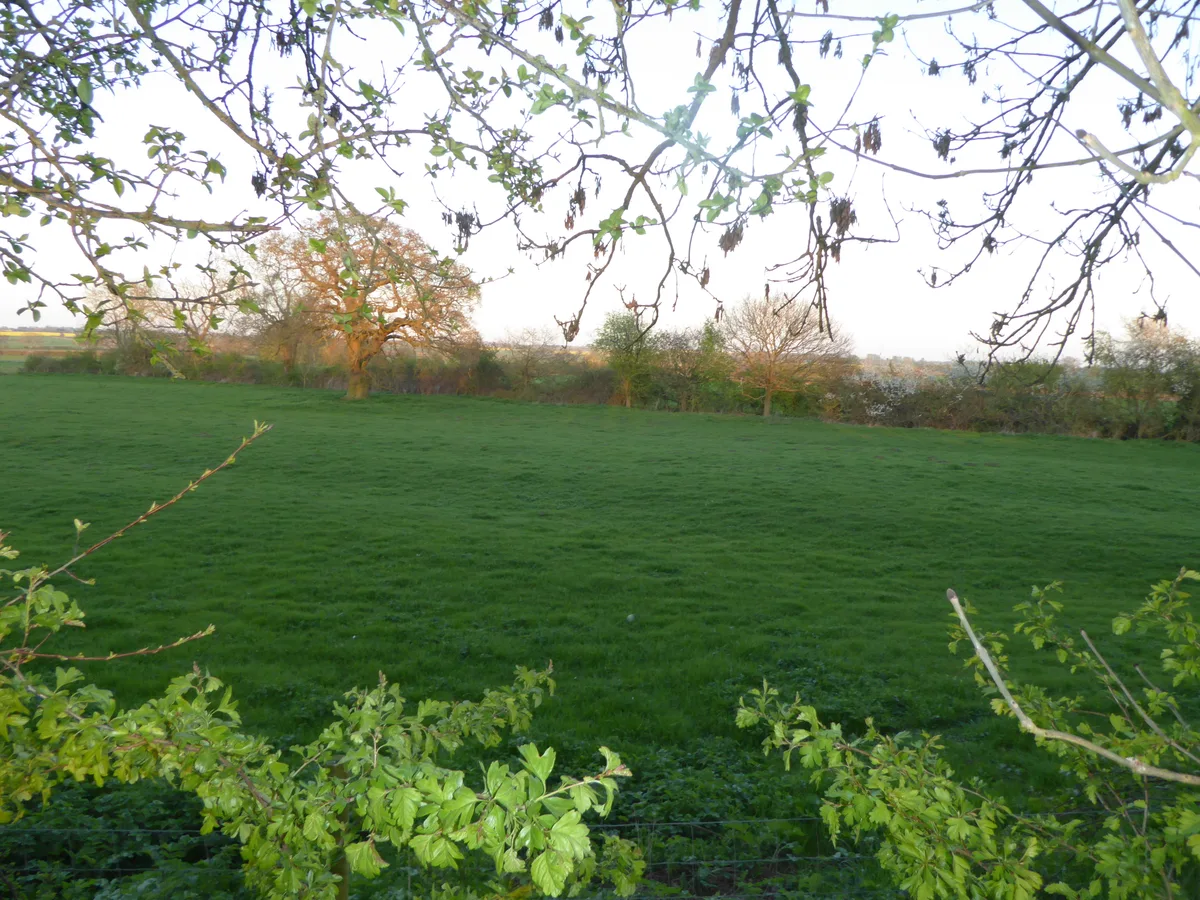
Cut-throat Meadow — nature reserve in the United Kingdom.

Wikimedia Commons contributors — see linked file page for photographer and licence licence

Plan your visit
- Typical visit
- 2 h–4 h
- Best time of year
- Autumn & winter (migration & wildfowl)
- Nearest railway station
- Flitwick · 3.2 km
- Free entry
- Family-friendly
- Dog-friendly
- Limited wheelchair access
Getting there & planning your visit
To visit Cut-throat Meadow, the nearest railway station is Flitwick, which is 3.2 km away. Entry is free, but please note that wheelchair accessibility is limited. The postcode for sat-nav is MK45 2ES.
About
Cut-throat Meadow is a wildlife reserve in the United Kingdom. Managed by Wildlife Trust for Bedfordshire, Cambridgeshire and Northamptonshire. Wikidata describes it as: "nature reserve in the United Kingdom". Coordinates: 52.0320°, -0.4847°.
Photo gallery
From the Wikipedia article
Cut-throat Meadow is a 1.5 hectare nature reserve in Ampthill in Bedfordshire. It is managed by the Wildlife Trust for Bedfordshire, Cambridgeshire and Northamptonshire. The reserve is in three separate areas off Ailesbury Road. There is a steeply sloping meadow area at the corner of Ailesbury Road and Church Street, a steeply sloping wood at the corner of Ailesbury Road and Snow Hill, and a pond between Rushbrook Close and Manton Close. Meadow saxifrage and field woodrush flower in the spring in the meadow area, and invertebrates include grasshoppers and bush crickets. The main trees in the wood are beech and scots pine, with an understorey of hawthorn, yew and hazel. The pond has reedmace and celery-leaved buttercup, and there are water boatmen and pond skaters on the surface.
Excerpt from Wikipedia under CC BY-SA 4.0. See the source article linked in Sources below.
- Coordinates
- 52.0320, -0.4847
- District
- Central Bedfordshire
- Parish
- Ampthill
- Postcode
- MK45 2ES
- Parliamentary constituency
- Mid Bedfordshire
- Nearest railway station
- Flitwick — 3.2 km
Sources
- wikidata: Q5196605 (CC0)
- wikipedia: Cut-throat Meadow (CC BY-SA 4.0)
- commons: Cut-Throat Meadow 3.JPG (CC BY-SA 4.0)
Other places nearby

The Cupcake Bar
Cafés · 0.5 km

Pump and signpost in Market Place
Historic houses · 0.6 km
The White Hart
Hotels · 0.6 km

Zonita Cinema
Theatres · 0.6 km

Kinema
Theatres · 0.7 km

Ampthill
Museums · 0.8 km

Maulden
Towns & cities · 1.0 km

The Alemeda Memorial, Ampthill
Memorials & monuments · 1.2 km
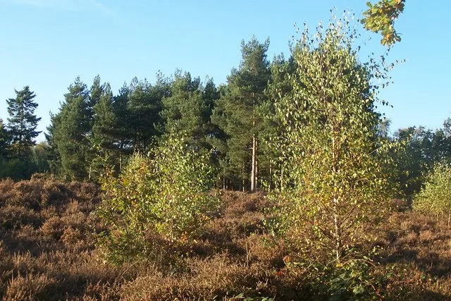
Cooper's Hill
Wildlife reserves · 1.3 km

Dillingham Park
Stadiums · 1.3 km

Houghton House
Historic houses · 1.3 km

Ampthill Camp Memorial Cross
Memorials & monuments · 1.5 km
Nearby
📷 5📷 5Historic houses · East of England
Pump and signpost in Market Place
Pump and signpost in Market Place — a Grade II-listed historic house in england-london, United Kingdom.
📷 5Hotels · East of England
The White Hart
The White Hart — a hotel in england london.
📷 3📷 4📷 5Museums · East of England
Ampthill
Ampthill () is a town and civil parish in the Central Bedfordshire district of Bedfordshire, England. It lies between Bedford and Luton. At the 2021 census it had a population of 8,825.
Where to eat & stay near Cut-throat Meadow
Places to stay
📷 5Hotels · East of England
The White Hart
The White Hart — a hotel in england london.
 📷 5
📷 5Campsites · East of England
Belvedere Camping
Belvedere Camping — a campsite in england west midlands.
 📷 5
📷 5Campsites · East of England
The Rose and Crown
The Rose and Crown — a campsite in england west midlands.
 📷 5
📷 5Campsites · East of England
Lower Woodend Farm
Lower Woodend Farm — a campsite in england west midlands.
 📷 5
📷 5 📷 7
📷 7Hotels · South East England
The Woburn Inn
The Woburn Inn — a hotel in england west midlands.
Places to eat & drink
📷 5 📷 5
📷 5Historic pubs · East of England
The Flying Horse Public House
The Flying Horse Public House in England East, United Kingdom.
 📷 5
📷 5 📷 5
📷 5 📷 5
📷 5Historic pubs · East of England
The Old Sun Public House
The Old Sun Public House in England East, United Kingdom.
 📷 5
📷 5Historic pubs · East of England
The White Hart Public House
The White Hart Public House in England East, United Kingdom.
More places run by Wildlife Trust for Bedfordshire, Cambridgeshire and Northamptonshire
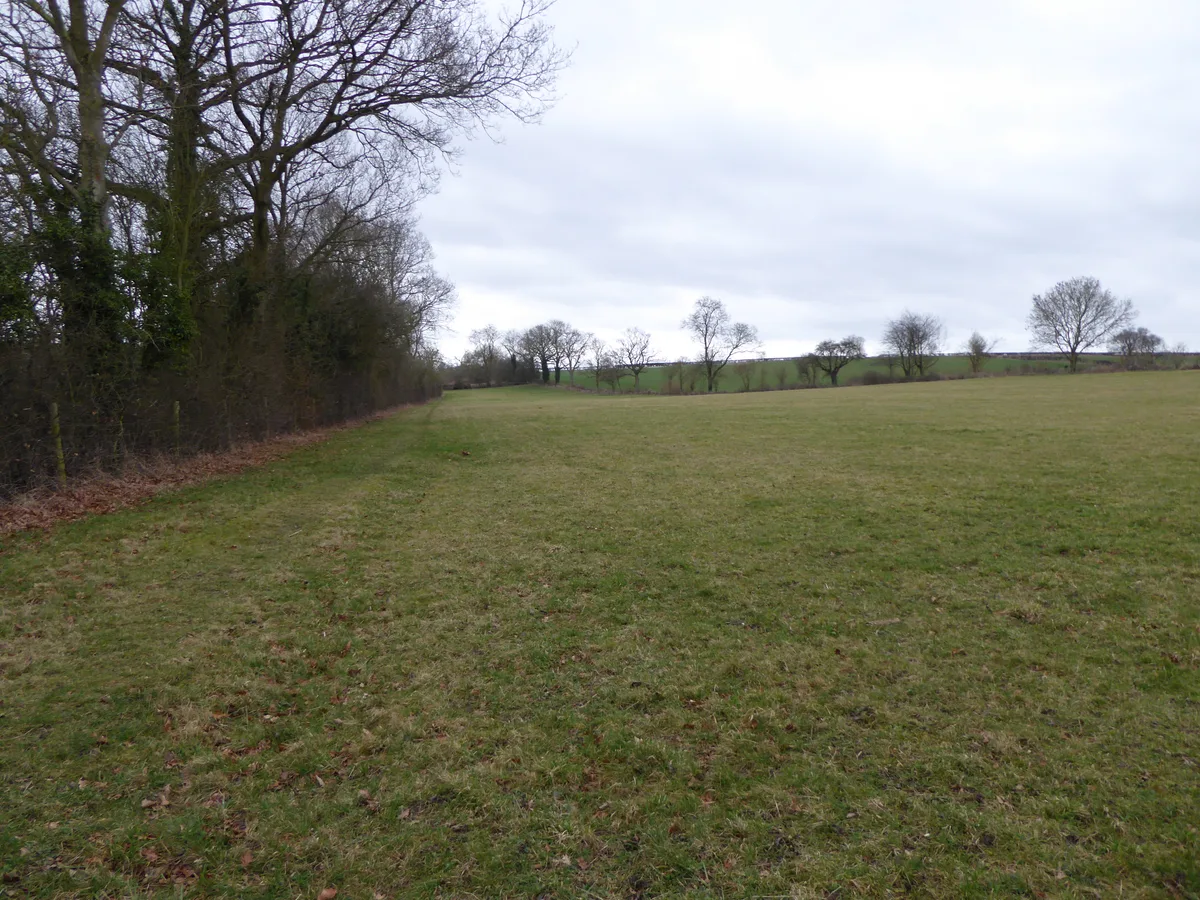 📷 5
📷 5Wildlife reserves · South East England
Boddington Meadow
Boddington Meadow — nature reserve in the United Kingdom.
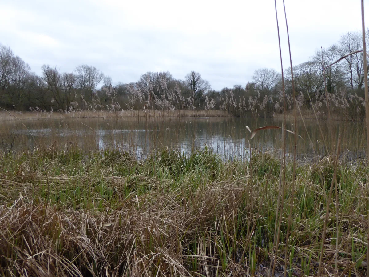 📷 3
📷 3Wildlife reserves · South East England
Byfield Pool
Byfield Pool — nature reserve in the United Kingdom.
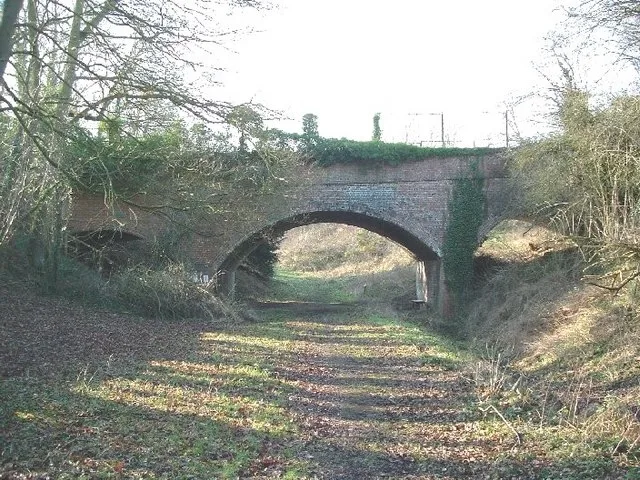 📷 5
📷 5Wildlife reserves · South East England
Farthinghoe Nature Reserve
Farthinghoe Nature Reserve — nature reserve in the United Kingdom.
 📷 3
📷 3Wildlife reserves · South East England
Grafton Regis Meadow
Grafton Regis Meadow — nature reserve in the United Kingdom.
More places in this region
 Flagship📷 10
Wildlife reserves · East of England
Amwell Quarry
Amwell Quarry — nature reserve in United Kingdom.
 Flagship📷 10
Wildlife reserves · East of England
Aubrey Buxton Nature Reserve
Aubrey Buxton Nature Reserve — Essex Wildlife Trust Nature reserve.
 Flagship📷 10
Wildlife reserves · East of England
Canvey Wick
Canvey Wick — nature reserve in Essex, United Kingdom.
 Flagship📷 10
Wildlife reserves · East of England
Crowsheath Wood
Crowsheath Wood — Essex Wildlife Trust Nature reserve.
Frequently asked questions
- Where is Cut-throat Meadow?
- Cut-throat Meadow is in East of England, United Kingdom (postcode MK45 2ES), in the parish of Ampthill.
- What is Cut-throat Meadow?
- Cut-throat Meadow — nature reserve in the United Kingdom.
- How do I get to Cut-throat Meadow?
- The nearest railway station is Flitwick, about 3.2 km away. The nearest town is Maulden. Drivers can use postcode MK45 2ES.
- Who runs Cut-throat Meadow?
- Cut-throat Meadow is operated by Wildlife Trust for Bedfordshire, Cambridgeshire and Northamptonshire.
- Is Cut-throat Meadow free to visit?
- Yes, Cut-throat Meadow is free to enter.
- How do I get to Cut-throat Meadow?
- The nearest railway station is Flitwick, about 3.2 km away. Drivers can navigate to postcode MK45 2ES.
- Are dogs allowed at Cut-throat Meadow?
- Most wildlife reserves allow dogs on lead only, with restrictions during ground-nesting bird season (March-July). Check signage at the reserve.