
Memorials & monuments · East of England
Ailesbury Mausoleum
In or near Maulden.
Ailesbury Mausoleum is a memorial in the United Kingdom.

Wikimedia Commons contributors — see linked file page for photographer and licence licence

Plan your visit
- Typical visit
- 15 min–45 min
- Nearest railway station
- Flitwick · 3.9 km
- Free entry
- Dog-friendly
Getting there & planning your visit
To visit Ailesbury Mausoleum, the nearest railway station is Flitwick, located 3.9 km away. The postcode for sat-nav is MK45 2AU, and entry to the mausoleum is free.
About
Ailesbury Mausoleum is a public memorial or monument in the United Kingdom. Coordinates: 52.0309°, -0.4588°. This entry is part of The Great Britain Guide, a free, ad-free, open-data tourist directory.
Photo gallery
Protected designations
- Site of Special Scientific Interest: Maulden Church Meadow SSSI
Designations sourced from Natural England open data under OGL v3.
From the Wikipedia article
The Ailesbury Mausoleum situated in the churchyard of St Mary's Church, Maulden, in Bedfordshire, is a Grade II listed structure built in 1656 by Thomas Bruce, 1st Earl of Elgin (1599–1663) (father by his 1st wife of Robert Bruce, 2nd Earl of Elgin, 1st Earl of Ailesbury (1626-1685)), of nearby Houghton House in the parish of Maulden, for the purpose of housing the coffin and "splendid monument" of his second wife, Lady Diana Cecil (d. 1654), a daughter of William Cecil, 2nd Earl of Exeter and widow of Henry de Vere, 18th Earl of Oxford. In the opinion of the architectural historian Sir Howard Colvin (1991) it is one of the first two free-standing mausoleums ever built in England, together with the Cabell Mausoleum at Buckfastleigh in Devon.
Excerpt from Wikipedia under CC BY-SA 4.0. See the source article linked in Sources below.
Background
History
It was customary before the use of mausoleums in England for prominent gentry and nobility to be buried within the parish churches of which they owned the advowson, or which served the parish within which was situated the manor of which they were lords and in which was situated their manor house and principal seat. In the early mediaeval era exceptionally wealthy such persons desired to be buried within abbeys or monasteries founded by themselves or their ancestors (usually for the express purpose of funding monks or nuns to pray continually for the rapid transition of their souls and those of their ancestors through the uncertain stage of Purgatory and rapidly onwards to eternal rest in…
Sourced from Wikipedia under CC BY-SA 4.0.
- Coordinates
- 52.0309, -0.4588
- District
- Central Bedfordshire
- Parish
- Maulden
- Postcode
- MK45 2AU
- Parliamentary constituency
- Mid Bedfordshire
- Nearest railway station
- Flitwick — 3.9 km
Sources
- osm: n4685238546 (ODbL)
- wikipedia: Ailesbury Mausoleum (CC BY-SA 4.0)
- commons: Ailesbury Mausoleum 04.jpg (CC BY-SA 4.0)
Other places nearby

Maulden
Towns & cities · 0.8 km
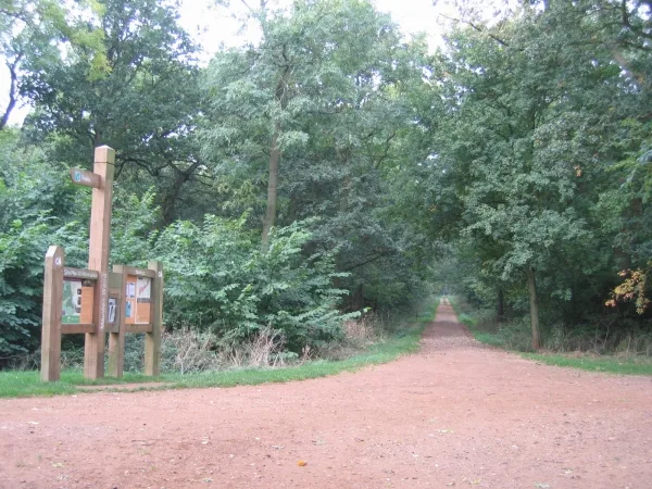
Maulden Wood
Archaeological sites · 1.3 km
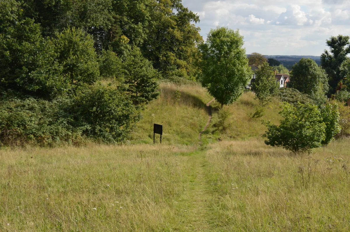
Cut-throat Meadow
Wildlife reserves · 1.8 km

De Grey Mausoleum
Memorials & monuments · 2.2 km

The De Grey Mausoleum
Follies · 2.2 km

Ampthill
Museums · 2.2 km

Flitton
Villages · 2.2 km

The Cupcake Bar
Cafés · 2.3 km

Kings Wood
Forests & woodlands · 2.3 km

Pump and signpost in Market Place
Historic houses · 2.3 km
The White Hart
Hotels · 2.3 km

Kinema
Theatres · 2.3 km
Nearby
📷 5Towns & cities · East of England
Maulden
Maulden — village and civil parish in Bedfordshire, UK.
📷 5Archaeological sites · East of England
Maulden Wood
Maulden Wood — woodland in Bedfordshire, England.
📷 5Wildlife reserves · East of England
Cut-throat Meadow
Cut-throat Meadow — nature reserve in the United Kingdom.
📷 5Memorials & monuments · East of England
De Grey Mausoleum
De Grey Mausoleum — a monument in england london.
📷 5Follies · East of England
The De Grey Mausoleum
The De Grey Mausoleum is a folly in the United Kingdom.
📷 5Museums · East of England
Ampthill
Ampthill () is a town and civil parish in the Central Bedfordshire district of Bedfordshire, England. It lies between Bedford and Luton. At the 2021 census it had a population of 8,825.
Where to eat & stay near Ailesbury Mausoleum
Places to stay
📷 5Hotels · East of England
The White Hart
The White Hart — a hotel in england london.
 📷 5
📷 5Campsites · East of England
Belvedere Camping
Belvedere Camping — a campsite in england west midlands.
 📷 5
📷 5 📷 5
📷 5Campsites · East of England
The Rose and Crown
The Rose and Crown — a campsite in england west midlands.
 📷 5
📷 5Campsites · East of England
Lower Woodend Farm
Lower Woodend Farm — a campsite in england west midlands.
 📷 7
📷 7B&Bs · East of England
Old Warden Guest House
Old Warden Guest House — a bed-and-breakfast in england london.
Places to eat & drink
📷 5 📷 5
📷 5Historic pubs · East of England
The Flying Horse Public House
The Flying Horse Public House in England East, United Kingdom.
 📷 5
📷 5 📷 5
📷 5 📷 5
📷 5Historic pubs · East of England
The White Hart Public House
The White Hart Public House in England East, United Kingdom.
 📷 5
📷 5Historic pubs · East of England
The Old Sun Public House
The Old Sun Public House in England East, United Kingdom.
More memorials in this region
 📷 5
📷 5Memorials & monuments · East of England
386th B.G.(M), 9th Air Force USAAF Memorial
386th B.G.(M), 9th Air Force USAAF Memorial is a memorial in the United Kingdom.
 📷 5
📷 5Memorials & monuments · East of England
Archie F. Daniels Memorial
Archie F. Daniels Memorial is a memorial in the United Kingdom.
 📷 5
📷 5Memorials & monuments · East of England
Barnwell War Memorial
Barnwell War Memorial is a memorial in the United Kingdom.
 📷 5
📷 5Memorials & monuments · East of England
Battle of Benfleet
Battle of Benfleet is a memorial in the United Kingdom.
Frequently asked questions
- Where is Ailesbury Mausoleum?
- Ailesbury Mausoleum is in London, United Kingdom (postcode MK45 2AU), in the parish of Maulden.
- What is Ailesbury Mausoleum?
- Ailesbury Mausoleum is a memorial in the United Kingdom.
- How do I get to Ailesbury Mausoleum?
- The nearest railway station is Flitwick, about 3.9 km away. Drivers can use postcode MK45 2AU.
- Is Ailesbury Mausoleum a protected site?
- Yes — Ailesbury Mausoleum is part of the Maulden Church Meadow SSSI Site of Special Scientific Interest.
- Is Ailesbury Mausoleum free to visit?
- Yes, Ailesbury Mausoleum is free to enter.
- How do I get to Ailesbury Mausoleum?
- The nearest railway station is Flitwick, about 3.9 km away. Drivers can navigate to postcode MK45 2AU.