
Historic houses · North West England
Lydiate Hall
In or near Haskayne.
Lydiate Hall — building in Lydiate, Sefton, Merseyside, England, UK.

Wikimedia Commons contributors — see linked file page for photographer and licence licence

Plan your visit
- Typical visit
- 1 h–2 h
- Nearest railway station
- Maghull North · 3.7 km
- Family-friendly
- Limited wheelchair access
Getting there & planning your visit
To visit Lydiate Hall, the nearest railway station is Maghull North, located 3.7 km away. The postcode for sat-nav is L31 4HH. Accessibility is limited for wheelchair users.
About
Lydiate Hall is a historic house in the United Kingdom — typically a country seat, manor, or town house with notable architecture or history. Heritage designation: Grade II listed building. Wikidata describes it as: "building in Lydiate, Sefton, Merseyside, England, UK". Coordinates: 53.5388°, -2.9631°.
Photo gallery
Protected designations
- Ramsar wetland: Ribble & Alt Estuaries
Designations sourced from Natural England open data under OGL v3.
From the Wikipedia article
Lydiate Hall was a 16th-century hall in Lydiate, Merseyside, England. The hall was a black-and-white half-timbered house, and was similar in design to Speke Hall. The hall was accompanied by a private chapel. It was a known Catholic house during the time of Elizabeth I of England, and the building contained at least three priest holes. The hall became a ruin in the early 20th century, and is now part of the grounds of Lydiate Hall Farm on Southport Road, Lydiate. It is now part of a conservation area, along with the nearby Scotch Piper Inn and St Catherine's Chapel. Its ruins were Grade II listed in 1968.
Excerpt from Wikipedia under CC BY-SA 4.0. See the source article linked in Sources below.
Background
Architecture
The building was constructed in the 15th and 16th century, and was altered in the 19th century. The founders were Laurence Ireland and his wife Katherine Blundell. Ireland is believed to been responsible for the later extensions to the house sometime around 1451. The hall and its chapel were inherited by Edward Ireland in 1609. The building was originally a quadrangle plan with an enclosed courtyard, with the front being the oldest portion of stone construction and surrounded by a moat. During the late 18th century, then owner Henry Blundell authorised significant demolition of the hall, particularly the areas that were considered picturesque and in turn removing all trace of the principle…
Sourced from Wikipedia under CC BY-SA 4.0.
- Coordinates
- 53.5388, -2.9631
- District
- Sefton
- Parish
- Lydiate
- Postcode
- L31 4HH
- Parliamentary constituency
- Sefton Central
- Nearest railway station
- Maghull North — 3.7 km
- Official site
- www.visitsouthport.com
Sources
- wikidata: Q15979167 (CC0)
- wikipedia: Lydiate Hall (CC BY-SA 4.0)
- commons: Lydiate Hall 2.JPG (CC BY-SA 4.0)
Other places nearby

St Catherine's Chapel, Lydiate
Chapels · 0.3 km
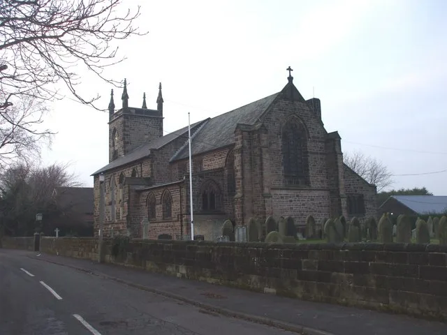
St Thomas' Church, Lydiate
Historic churches · 0.6 km

Lydiate Hill Bridge
Historic bridges · 0.8 km

Lydiate
Villages · 1.1 km

Lydiate Bridge
Historic bridges · 1.1 km

Farmer Ted's Farm Park
Theme parks · 1.5 km

Maghull
Museums · 2.7 km
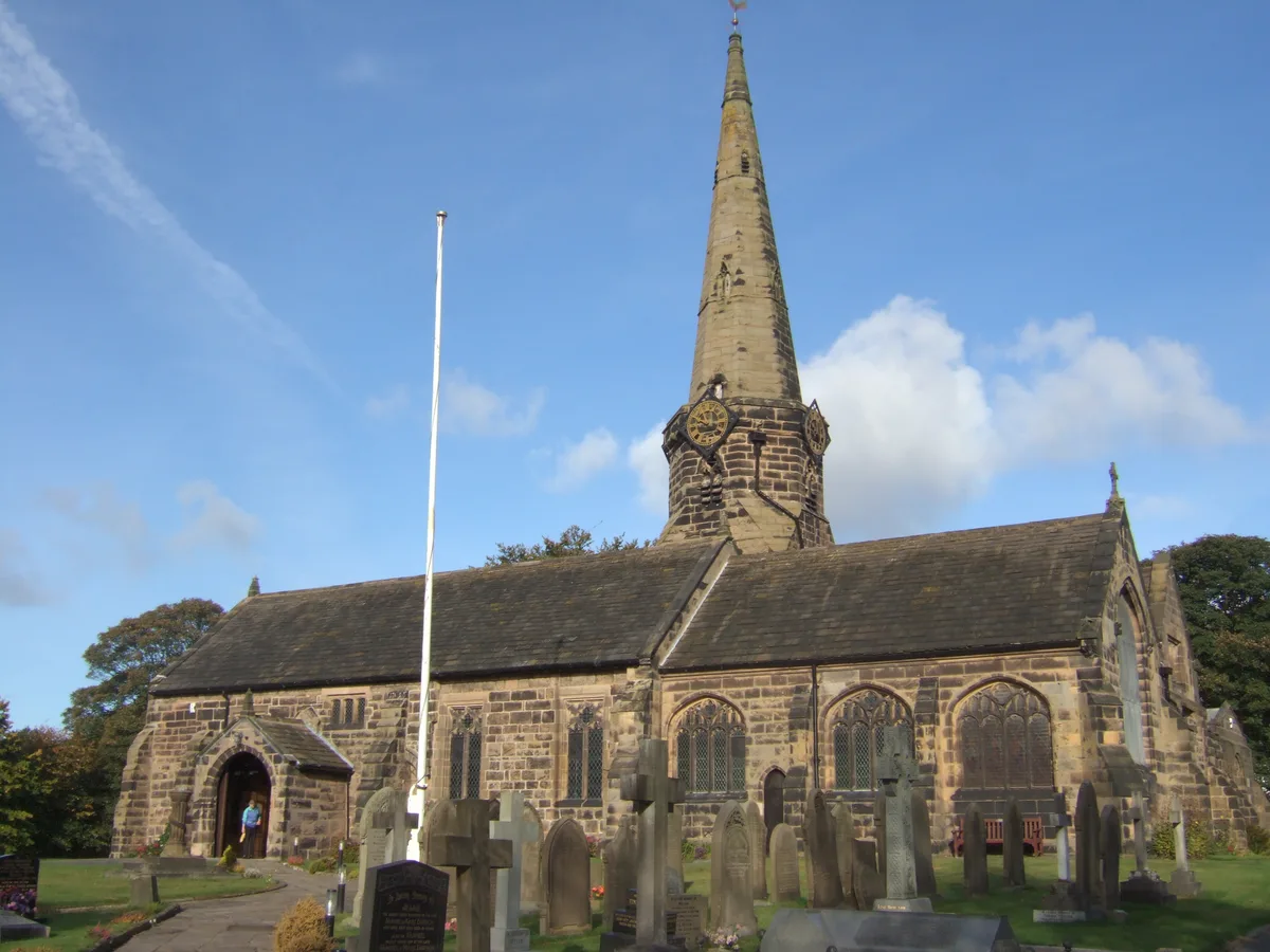
St Michael's Church, Aughton
Historic churches · 2.9 km

Haskayne
Towns & cities · 2.9 km

Astra Entertainment Centre
Theatres · 3.1 km

Hidden Corner Camp Site
Campsites · 3.1 km

Clieves Hills
Mountains & hills · 3.2 km
Nearby
📷 5Chapels · North West England
St Catherine's Chapel, Lydiate
St Catherine's Chapel, Lydiate — ruined chapel in Merseyside.
📷 5Historic churches · North West England
St Thomas' Church, Lydiate
St Thomas' Church, Lydiate — grade II listed church in Lydiate, Sefton, Merseyside, England, UK.
📷 3Historic bridges · North West England
Lydiate Hill Bridge
Lydiate Hill Bridge — Grade II listed building-listed bridge in england-north-west, United Kingdom.
📷 5📷 3Historic bridges · North West England
Lydiate Bridge
Lydiate Bridge — Grade II listed building-listed bridge in england-north-west, United Kingdom.
📷 3Theme parks · North West England
Farmer Ted's Farm Park
Farmer Ted's Farm Park — a theme park in North West England, United Kingdom.
Where to eat & stay near Lydiate Hall
Places to stay
📷 5Campsites · North West England
Hidden Corner Camp Site
Hidden Corner Camp Site — a campsite in england north west.
 📷 5
📷 5Caravan parks · North West England
Tristram's Farmhouse
Tristram's Farmhouse — a caravan park in england north west.
 📷 5
📷 5Caravan parks · North West England
Plex Moss Caravan Park
Plex Moss Caravan Park — a caravan park in england north west.
 📷 5
📷 5Caravan parks · North West England
Willowbank Caravan Park
Willowbank Caravan Park — a caravan park in england north west.
 📷 5
📷 5 📷 5
📷 5Caravan parks · North West England
Abbey Farm Holiday Park
Abbey Farm Holiday Park — a caravan park in england north west.
Places to eat & drink
 📷 7
📷 7Historic pubs · North West England
Buck I' Th' Vine Inn
Buck I' Th' Vine Inn in England North West, United Kingdom.
 📷 7
📷 7Historic pubs · North West England
The Windmill Public House
The Windmill Public House in England North West, United Kingdom.
 📷 5
📷 5Historic pubs · North West England
The Hare And Hounds Public House
The Hare And Hounds Public House in Wales North, United Kingdom.
 📷 5
📷 5Historic pubs · North West England
Former bank and residence
Former bank and residence in Wales North, United Kingdom.
 📷 5
📷 5Historic pubs · North West England
The Old Toby Public House
The Old Toby Public House in England North West, United Kingdom.
 📷 5
📷 5Historic pubs · North West England
Throstles Nest Hotel, Scotland Road
Throstles Nest Hotel, Scotland Road in Wales North, United Kingdom.
More historic houses in this region
 📷 3
📷 3Historic houses · North West England
116 Hospital Street, Nantwich
116 Hospital Street, Nantwich — substantial townhouse in Nantwich, Cheshire, England, UK.
 📷 3
📷 3Historic houses · North West England
140–142 Hospital Street, Nantwich
140–142 Hospital Street, Nantwich — grade II listed building in Nantwich, Cheshire East, Cheshire, England, UK.
 📷 3
📷 3Historic houses · North West England
46 High Street, Nantwich
46 High Street, Nantwich — house in Nantwich, Cheshire, England, UK.
 📷 3
📷 3Historic houses · North West England
64, St Ann's Road
64, St Ann's Road — Grade II* listed house in Middlewich, Cheshire East, England, UK.
Frequently asked questions
- Where is Lydiate Hall?
- Lydiate Hall is in North-West England, United Kingdom (postcode L31 4HH), in the parish of Lydiate.
- What is Lydiate Hall?
- Lydiate Hall — building in Lydiate, Sefton, Merseyside, England, UK.
- How do I get to Lydiate Hall?
- The nearest railway station is Maghull North, about 3.7 km away. The nearest town is Haskayne. Drivers can use postcode L31 4HH.
- Is Lydiate Hall a listed building?
- Lydiate Hall is officially recognised as Grade II listed building listed.
- Is Lydiate Hall a protected site?
- Yes — Lydiate Hall is part of the Ribble & Alt Estuaries Ramsar wetland.
- How do I get to Lydiate Hall?
- The nearest railway station is Maghull North, about 3.7 km away. Drivers can navigate to postcode L31 4HH.