
Historic houses · North West England
140–142 Hospital Street, Nantwich
In or near Aston juxta Mondrum.
140–142 Hospital Street, Nantwich — grade II listed building in Nantwich, Cheshire East, Cheshire, England, UK.

Wikimedia Commons contributors — see linked file page for photographer and licence licence

Plan your visit
- Typical visit
- 1 h–2 h
- Nearest railway station
- Nantwich · 0.3 km
- Free entry
- Family-friendly
- Limited wheelchair access
Getting there & planning your visit
To visit 140–142 Hospital Street in Nantwich, the nearest railway station is Nantwich, located 0.3 km away. The postcode for sat-nav is CW5 5RY. Accessibility is limited for wheelchair users.
About
140–142 Hospital Street, Nantwich is a historic house in the United Kingdom — typically a country seat, manor, or town house with notable architecture or history. Heritage designation: Grade II listed building. Wikidata describes it as: "grade II listed building in Nantwich, Cheshire East, Cheshire, England, UK". Coordinates: 53.0656°, -2.5153°.
Photo gallery
Official information
Nantwich Museum showcases the rich history of Nantwich, from its Roman origins to its salt-making heritage and Civil War narratives. The museum features various exhibits and rotating art displays, all housed in a former Victorian library.
From the Wikipedia article
140–142 Hospital Street, sometimes known as Hospital House, is a substantial townhouse in Nantwich, Cheshire, England, located on the south side of Hospital Street (at SJ6557452166). The building is listed at grade II. It was built in the late 16th century by John Crewe, a tanner, whose sons Randolph and Thomas both served as the Speaker of the House of Commons. The original timber-framed, close-studded façade has been concealed by alterations during the late 17th century; these include the addition of small-paned casement windows, some of which contain old heraldic stained glass. The building was further altered and extended in the 18th century, with the addition of two Gothic-style entrances. Later occupants include the architect, Thomas Bower, and the building remains in residential use. The present building is believed to stand on the site of the medieval Hospital of St Nicholas, which gives Hospital Street its name. Stone remains discovered in the garden have been associated with the hospital.
Excerpt from Wikipedia under CC BY-SA 4.0. See the source article linked in Sources below.
Background
History
]] The present building dates originally from the late 16th century, and was built by John Crewe (c. 1524–98), who is said to have been a tanner. The Crewes claimed descent from the de Crewe family, who owned the manor of Crewe (now Crewe Green) in the 13th century. Two of the couple's sons achieved national prominence in the legal profession and parliament. Randolph Crewe became a judge, member of parliament (MP), parliamentary Speaker and, briefly, Lord Chief Justice; he made a fortune from a successful practice in chancery and other London courts, and built the Jacobean mansion, Crewe Hall, in nearby Crewe Green. Thomas Crewe also became a lawyer, MP and Speaker. John Crewe died in 1598…
Description
140–142 Hospital Street is one of a group of houses dating from the 15th and 16th centuries at the end of Hospital Street, which include Churche's Mansion, number 116 and The Rookery (number 125). It has three bays to the main front face and two storeys with attics. An 18th-century extension on the east (left) side is in painted brick and faces onto a passageway; the rear of the building also dates from the 18th century. This entrance is flanked by 17th-century casement windows; there are three casement windows on the first floor and three gabled dormer windows with casements, dating from the late 17th century. All the casements have a lattice of small panes, headed by a circular pattern.…
Sourced from Wikipedia under CC BY-SA 4.0.
- Coordinates
- 53.0656, -2.5153
- District
- Cheshire East
- Parish
- Nantwich
- Postcode
- CW5 5RY
- Parliamentary constituency
- Crewe and Nantwich
- Phone
- 01270 627104
- Nearest railway station
- Nantwich — 0.3 km
- Opening
- Tuesday to Saturday 10am–4pm; closed Sundays, Mondays and Bank Holidays
- Official site
- nantwichmuseum.org.uk
Sources
- wikidata: Q4549630 (CC0)
- wikipedia: 140–142 Hospital Street, Nantwich (CC BY-SA 4.0)
- commons: 140-142 Hospital St Nantwich.jpg (CC BY-SA 4.0)
Other places nearby

The Rookery, Nantwich
Historic houses · 0.0 km

Combermere House, Nantwich
Historic houses · 0.0 km

116 Hospital Street, Nantwich
Historic houses · 0.1 km

Sweetbriar Hall
Historic houses · 0.2 km

Wesleyan Methodist Church, Nantwich
Historic churches · 0.3 km

Dysart Buildings, Nantwich
Historic houses · 0.3 km

Congregational Chapel, Nantwich
Historic houses · 0.3 km

Nantwich Millennium Clock
Public art & sculpture · 0.4 km
Nantwich Museum
Museums · 0.4 km
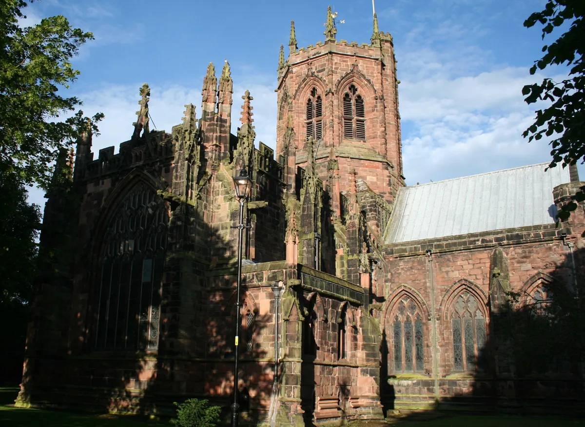
St Mary's Church, Nantwich
Historic churches · 0.4 km

Lamb Hotel
Historic pubs · 0.4 km

Nantwich Players
Theatres · 0.4 km
Nearby
📷 3Historic houses · North West England
The Rookery, Nantwich
The Rookery, Nantwich — Grade II listed house in Nantwich, Cheshire, England, UK.
📷 3Historic houses · North West England
Combermere House, Nantwich
Combermere House, Nantwich — Grade II listed house in Nantwich, Cheshire, England, UK.
📷 3Historic houses · North West England
116 Hospital Street, Nantwich
116 Hospital Street, Nantwich — substantial townhouse in Nantwich, Cheshire, England, UK.
📷 3Historic houses · North West England
Sweetbriar Hall
Sweetbriar Hall — Grade II listed house in Nantwich, Cheshire, England, UK.
📷 5Historic churches · North West England
Wesleyan Methodist Church, Nantwich
Wesleyan Methodist Church, Nantwich — a church in england-west-midlands, United Kingdom.
📷 3Historic houses · North West England
Dysart Buildings, Nantwich
Dysart Buildings, Nantwich — 18th-century terrace in Nantwich, England.
Where to eat & stay near 140–142 Hospital Street, Nantwich
Places to stay
 📷 5
📷 5Hotels · North West England
Crown Hotel, Bar & Grill
Crown Hotel, Bar & Grill — a hotel in england west midlands.
 📷 5
📷 5 📷 5
📷 5Hotels · North West England
The Waverley Hotel
The Waverley Hotel — a hotel in england west midlands.
 📷 5
📷 5 📷 5
📷 5
Campsites · North West England
Marbury Camp and Lodge
Marbury Camp and Lodge — a campsite in wales north.
Places to eat & drink
📷 5 📷 5
📷 5Restaurants · North West England
The Cheshire Cat
The Cheshire Cat — a restaurant in england west midlands.
 📷 5
📷 5 📷 5
📷 5Historic pubs · North West England
The Commercial Hotel
The Commercial Hotel in England North West, United Kingdom.
 📷 5
📷 5Historic pubs · North West England
Old Hall Hotel, Sandbach
Old Hall Hotel, Sandbach in England North West, United Kingdom.
 📷 7
📷 7Historic pubs · North West England
The Black Bear Public House
The Black Bear Public House in Wales North, United Kingdom.
More historic houses in this region
📷 3Historic houses · North West England
116 Hospital Street, Nantwich
116 Hospital Street, Nantwich — substantial townhouse in Nantwich, Cheshire, England, UK.
 📷 3
📷 3Historic houses · North West England
46 High Street, Nantwich
46 High Street, Nantwich — house in Nantwich, Cheshire, England, UK.
 📷 3
📷 3Historic houses · North West England
64, St Ann's Road
64, St Ann's Road — Grade II* listed house in Middlewich, Cheshire East, England, UK.
 📷 3
📷 3Historic houses · North West England
83 Welsh Row, Nantwich
83 Welsh Row, Nantwich — house in Nantwich, Cheshire East, England, UK.
Frequently asked questions
- Where is 140–142 Hospital Street, Nantwich?
- 140–142 Hospital Street, Nantwich is in the West Midlands, United Kingdom (postcode CW5 5RY), in the parish of Nantwich.
- What is 140–142 Hospital Street, Nantwich?
- 140–142 Hospital Street, Nantwich — grade II listed building in Nantwich, Cheshire East, Cheshire, England, UK.
- How do I get to 140–142 Hospital Street, Nantwich?
- The nearest railway station is Nantwich, about 0.3 km away. Drivers can use postcode CW5 5RY.
- Is 140–142 Hospital Street, Nantwich a listed building?
- 140–142 Hospital Street, Nantwich is officially recognised as Grade II listed building listed.
- How do I get to 140–142 Hospital Street, Nantwich?
- The nearest railway station is Nantwich, about 0.3 km away. Drivers can navigate to postcode CW5 5RY.