
Historic churches · North West England
St Thomas' Church, Lydiate
In or near Haskayne.
St Thomas' Church, Lydiate — grade II listed church in Lydiate, Sefton, Merseyside, England, UK.

Wikimedia Commons contributors — see linked file page for photographer and licence licence

Plan your visit
- Typical visit
- 30 min–1 h
- Nearest railway station
- Town Green · 3.8 km
- Free entry
Getting there & planning your visit
To visit St Thomas' Church in Lydiate, the nearest railway station is Town Green, located 3.8 km away. The postcode for sat-nav is L31 4DP, and entry to the church is free.
About
St Thomas' Church, Lydiate is a historic church in the United Kingdom. Records date its origin to 1912. Built in the Gothic Revival style. Heritage designation: Grade II listed building. Affiliated with Anglicanism. Wikidata describes it as: "grade II listed church in Lydiate, Sefton, Merseyside, England, UK". Coordinates: 53.5443°, -2.9624°.
Photo gallery
Heritage listing
St Thomas' Church is in Church Lane, Lydiate, Sefton, Merseyside, England. It is an active Anglican parish church in the deanery of Ormskirk, the archdeaconry of Wigan and West Lancashire, and the diocese of Liverpool. Its benefice has been combined with that of St Cuthbert, Halsall. The church is recorded in the National Heritage List for England as a designated Grade II listed building.
From the Historic England List Entry under OGL v3.
Protected designations
- Ramsar wetland: Ribble & Alt Estuaries
Designations sourced from Natural England open data under OGL v3.
From the Wikipedia article
St Thomas' Church is in Church Lane, Lydiate, Sefton, Merseyside, England. It is an active Anglican parish church in the deanery of Ormskirk, the archdeaconry of Wigan and West Lancashire, and the diocese of Liverpool. Its benefice has been combined with that of St Cuthbert, Halsall. The church is recorded in the National Heritage List for England as a designated Grade II listed building.
Excerpt from Wikipedia under CC BY-SA 4.0. See the source article linked in Sources below.
Background
History
The church was built between 1839 and 1841, and designed probably by A. H. Holme (the builders being S. Holme and Son). At this time it was a chapel of ease to St Cuthbert, Halsall, and it became a separate parish in its own right in 1871. Additions were made to the church in 1912, including the chancel, a south chapel and a north vestry, by the Lancaster architects Austin and Paley. These additions cost £6,000 ().
Architecture
St Thomas' is constructed in stone with a slate roof. Its plan consists of a four-bay nave, a chancel with a south chapel and a north vestry, and a west tower. The tower has pointed doorways on the west and south sides, a north lancet window, a clock face on the south side, and a plain parapet with corner pinnacles. The windows in the nave are lancets. The east window has three lights with Perpendicular tracery. There are two-light windows elsewhere in the chancel and chapel, and three-light windows in the vestry. Inside the church is a west gallery carried on two octagonal iron columns. The nave has a flat ceiling and the chancel a waggon roof. In the chancel is a recess for a sedilia, and…
Sourced from Wikipedia under CC BY-SA 4.0.
- Coordinates
- 53.5443, -2.9624
- District
- Sefton
- Parish
- Lydiate
- Postcode
- L31 4DP
- Parliamentary constituency
- Sefton Central
- Established
- 1912
- Nearest railway station
- Town Green — 3.8 km
- Official site
- www.st-thomas-church.org
Sources
- wikidata: Q7595534 (CC0)
- wikipedia: St Thomas' Church, Lydiate (CC BY-SA 4.0)
- commons: St Thomas's Church, Lydiate - geograph.org.uk - 1102943.jpg (CC BY-SA 4.0)
Other places nearby

Lydiate Hall
Historic houses · 0.6 km

St Catherine's Chapel, Lydiate
Chapels · 0.8 km

Farmer Ted's Farm Park
Theme parks · 1.1 km

Lydiate Hill Bridge
Historic bridges · 1.2 km

Lydiate
Villages · 1.6 km

Lydiate Bridge
Historic bridges · 1.7 km

Haskayne
Towns & cities · 2.3 km

Clieves Hills
Mountains & hills · 2.8 km
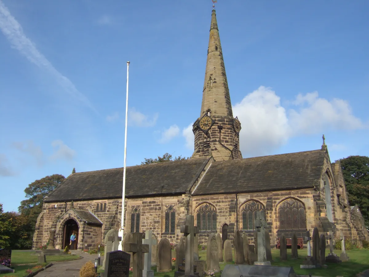
St Michael's Church, Aughton
Historic churches · 2.8 km

Harkers Bridge (Number 23) Leeds And Liverpool Canal Harkers Bridge (Number 23)
Historic bridges · 3.0 km

Maghull
Museums · 3.2 km
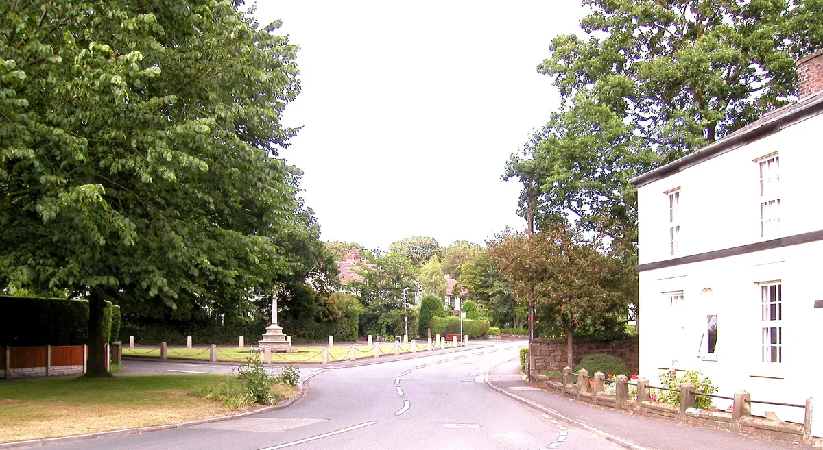
Aughton
Towns & cities · 3.3 km
Nearby
📷 5Historic houses · North West England
Lydiate Hall
Lydiate Hall — building in Lydiate, Sefton, Merseyside, England, UK.
📷 5Chapels · North West England
St Catherine's Chapel, Lydiate
St Catherine's Chapel, Lydiate — ruined chapel in Merseyside.
📷 3Theme parks · North West England
Farmer Ted's Farm Park
Farmer Ted's Farm Park — a theme park in North West England, United Kingdom.
📷 3Historic bridges · North West England
Lydiate Hill Bridge
Lydiate Hill Bridge — Grade II listed building-listed bridge in england-north-west, United Kingdom.
📷 5📷 3Historic bridges · North West England
Lydiate Bridge
Lydiate Bridge — Grade II listed building-listed bridge in england-north-west, United Kingdom.
Where to eat & stay near St Thomas' Church, Lydiate
Places to stay
 📷 5
📷 5Campsites · North West England
Hidden Corner Camp Site
Hidden Corner Camp Site — a campsite in england north west.
 📷 5
📷 5Caravan parks · North West England
Tristram's Farmhouse
Tristram's Farmhouse — a caravan park in england north west.
 📷 5
📷 5Caravan parks · North West England
Plex Moss Caravan Park
Plex Moss Caravan Park — a caravan park in england north west.
 📷 5
📷 5 📷 5
📷 5Caravan parks · North West England
Willowbank Caravan Park
Willowbank Caravan Park — a caravan park in england north west.
 📷 5
📷 5Caravan parks · North West England
Abbey Farm Holiday Park
Abbey Farm Holiday Park — a caravan park in england north west.
Places to eat & drink
 📷 7
📷 7Historic pubs · North West England
Buck I' Th' Vine Inn
Buck I' Th' Vine Inn in England North West, United Kingdom.
 📷 7
📷 7Historic pubs · North West England
The Windmill Public House
The Windmill Public House in England North West, United Kingdom.
 📷 5
📷 5Historic pubs · North West England
The Old Toby Public House
The Old Toby Public House in England North West, United Kingdom.
 📷 7
📷 7Cafés · North West England
Claude's of Churchtown
Claude's of Churchtown — a café in england north west.
 📷 5
📷 5Historic pubs · North West England
The Hare And Hounds Public House
The Hare And Hounds Public House in Wales North, United Kingdom.
 📷 5
📷 5Historic pubs · North West England
Former bank and residence
Former bank and residence in Wales North, United Kingdom.
Other places from this era
 📷 5
📷 5Historic churches · London
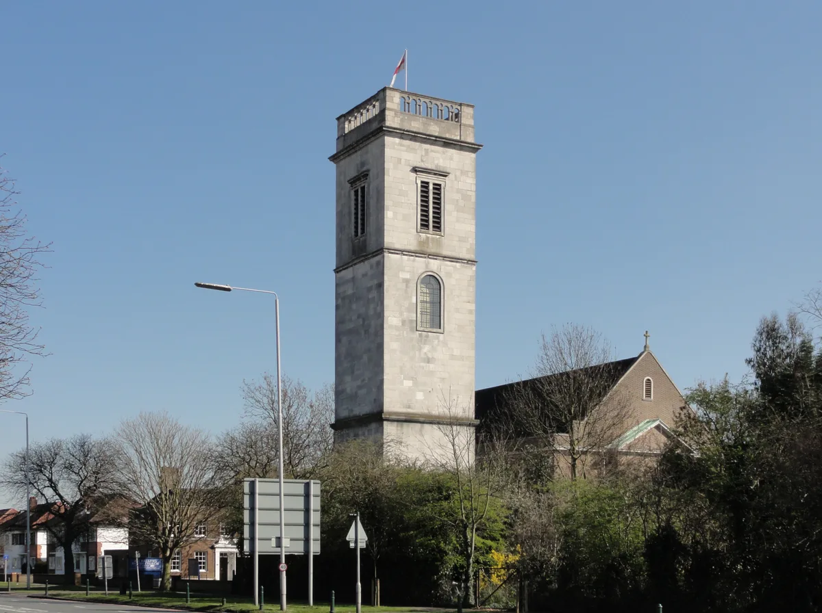
All Hallows Twickenham
All Hallows Twickenham — church in London Borough of Richmond upon Thames, UK.
 📷 5
📷 5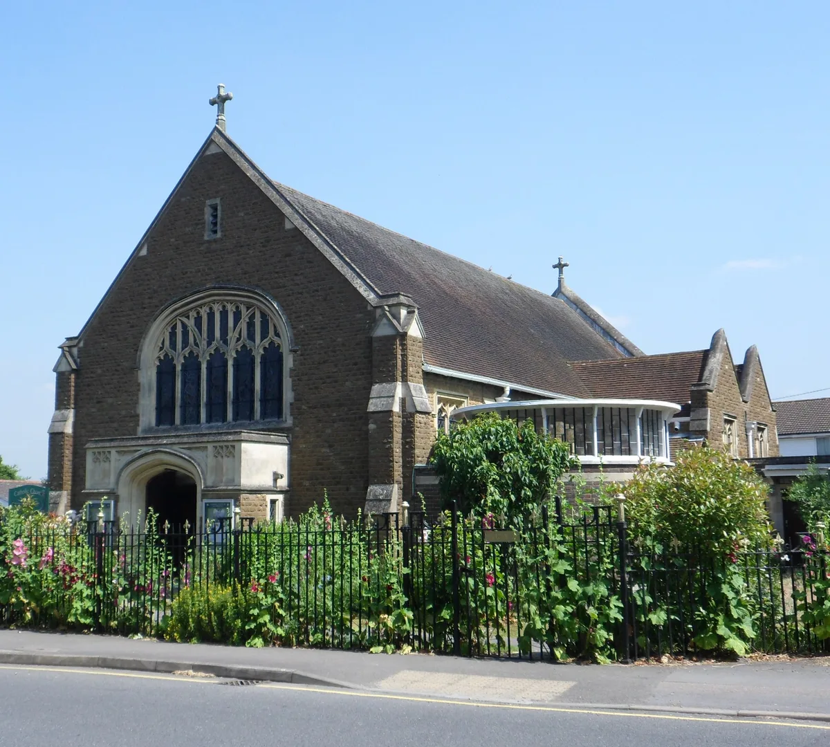 📷 5
📷 5Historic churches · London
Church of Our Lady and St Peter, Leatherhead
Church of Our Lady and St Peter, Leatherhead — church in United Kingdom.
 📷 5
📷 5Historic churches · London
First Church of Christ, Scientist, Richmond
First Church of Christ, Scientist, Richmond — church in London Borough of Richmond upon Thames, UK.
More places in this region
 📷 3
📷 3Historic churches · North West England
All Saints Chapel, Somerford
All Saints Chapel, Somerford — church in Cheshire East, Cheshire, England, UK.
 📷 3
📷 3Historic churches · North West England
All Saints Church, Church Lawton
All Saints Church, Church Lawton — Grade II* listed church in Church Lawton, Cheshire East, Cheshire, England, UK.
 📷 3
📷 3Historic churches · North West England
All Saints Church, Scholar Green
All Saints Church, Scholar Green — church in Cheshire East, Cheshire, England, UK.
 📷 3
📷 3Historic churches · North West England
All Saints Church, Siddington
All Saints Church, Siddington — church in Cheshire East, Cheshire, England, UK.
Frequently asked questions
- Where is St Thomas' Church, Lydiate?
- St Thomas' Church, Lydiate is in North-West England, United Kingdom (postcode L31 4DP), in the parish of Lydiate.
- What is St Thomas' Church, Lydiate?
- St Thomas' Church, Lydiate — grade II listed church in Lydiate, Sefton, Merseyside, England, UK.
- How do I get to St Thomas' Church, Lydiate?
- The nearest railway station is Town Green, about 3.8 km away. The nearest town is Haskayne. Drivers can use postcode L31 4DP.
- When was St Thomas' Church, Lydiate built?
- Built or established in 1912.
- Is St Thomas' Church, Lydiate a listed building?
- St Thomas' Church, Lydiate is officially recognised as Grade II listed building listed.
- Is St Thomas' Church, Lydiate a protected site?
- Yes — St Thomas' Church, Lydiate is part of the Ribble & Alt Estuaries Ramsar wetland.
- Is St Thomas' Church, Lydiate free to visit?
- Yes, St Thomas' Church, Lydiate is free to enter.
- How do I get to St Thomas' Church, Lydiate?
- The nearest railway station is Town Green, about 3.8 km away. Drivers can navigate to postcode L31 4DP.