
Historic bridges · North West England
Lydiate Hill Bridge
In or near Aughton.
Lydiate Hill Bridge — Grade II listed building-listed bridge in england-north-west, United Kingdom.

Gary Rogers — CC BY-SA 2.0 via Wikimedia Commons licence

Plan your visit
- Typical visit
- 15 min–30 min
- Nearest railway station
- Maghull North · 3.0 km
- Free entry
- Dog-friendly
Getting there & planning your visit
Lydiate Hill Bridge is located in Sefton, with the postcode L31 4DL. The nearest railway station is Maghull North, which is approximately 3 km away. Entry to the bridge is free.
About
Lydiate Hill Bridge is a Grade II listed building-listed bridge in england-north-west, United Kingdom, registered on the National Heritage List for England (NHLE entry 1075839). Listed status protects buildings and structures of special architectural or historic interest. See the linked Wikipedia article for further details.
Photo gallery
Heritage listing
Details This list entry was subject to a Minor Amendment on 16/11/2015 SD 30 SE 7/94 LYDIATE, LEEDS AND LIVERPOOL CANAL, Lydiate Hill Bridge, approximately 340 metres east of Southport Road (Formerly listed as Lydiate Hill bridge appox 40 m. from road, SOUTHPORT ROAD (east side)) G.V. II Accommodation bridge over Leeds and Liverpool Canal. c.1770. Stone. Elliptical arch with flat band over, and parapet. Retaining walls swept forward and returned. Listing NGR: SD3693304727 Legacy The contents of this record have been generated from a legacy data system. Legacy System number: 216493 Legacy System: LBS
From the Historic England List Entry under OGL v3.
Protected designations
- Ramsar wetland: Ribble & Alt Estuaries
Designations sourced from Natural England open data under OGL v3.
Place summary
Lydiate Hill Bridge is a Grade II listed bridge located in North-West England. Its designation highlights its historical significance and architectural merit.
AI-generated from the structured facts on this page (operator, designation, listing, era). Not a substitute for visiting.
- Coordinates
- 53.5354, -2.9530
- District
- Sefton
- Parish
- Lydiate
- Postcode
- L31 4DL
- Parliamentary constituency
- Sefton Central
- Nearest railway station
- Maghull North — 3 km
Sources
- wikidata: Q26339736 (CC0)
Other places nearby

Lydiate
Villages · 0.6 km

St Catherine's Chapel, Lydiate
Chapels · 0.6 km

Lydiate Bridge
Historic bridges · 0.8 km

Lydiate Hall
Historic houses · 0.8 km
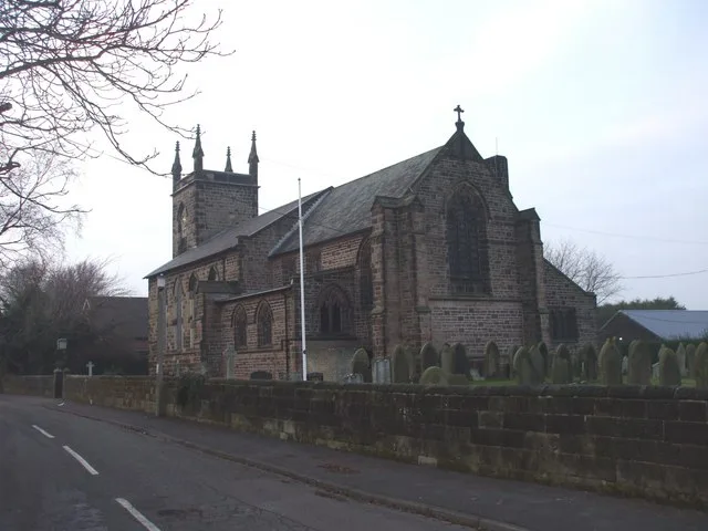
St Thomas' Church, Lydiate
Historic churches · 1.2 km

Maghull
Museums · 2.1 km

Farmer Ted's Farm Park
Theme parks · 2.2 km
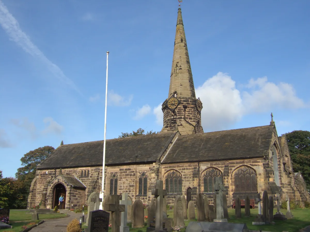
St Michael's Church, Aughton
Historic churches · 2.3 km

Hidden Corner Camp Site
Campsites · 2.4 km

Astra Entertainment Centre
Theatres · 2.5 km
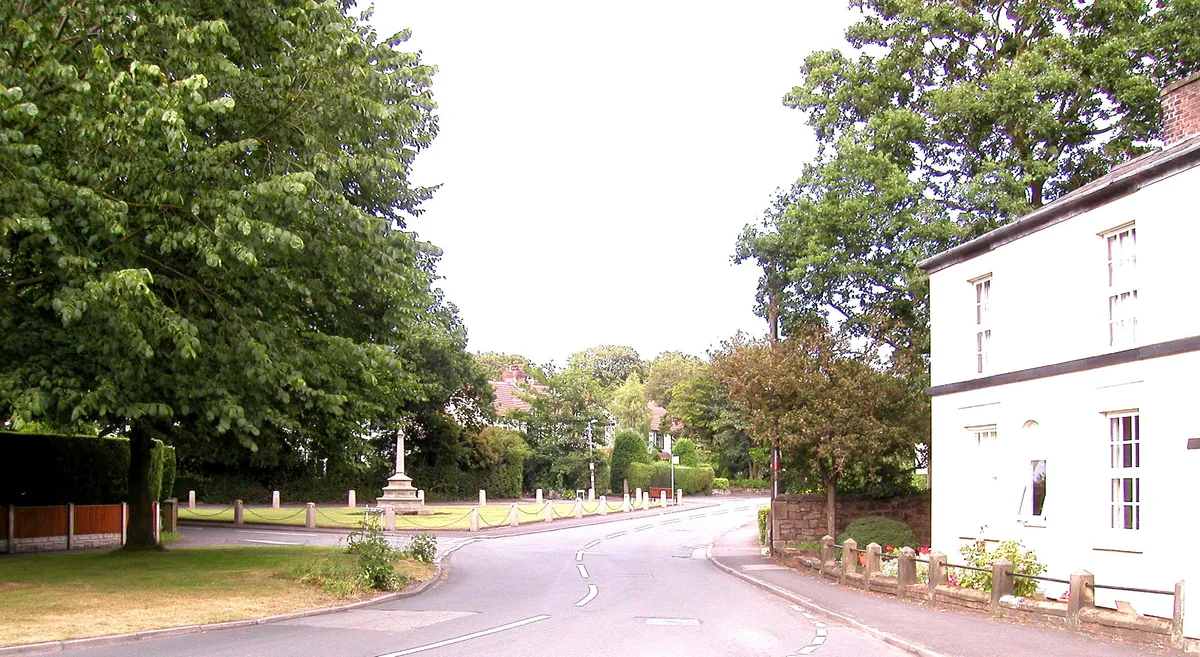
Aughton
Towns & cities · 2.8 km

Maghull Chapel
Chapels · 2.9 km
Nearby
📷 5📷 5Chapels · North West England
St Catherine's Chapel, Lydiate
St Catherine's Chapel, Lydiate — ruined chapel in Merseyside.
📷 3Historic bridges · North West England
Lydiate Bridge
Lydiate Bridge — Grade II listed building-listed bridge in england-north-west, United Kingdom.
📷 5Historic houses · North West England
Lydiate Hall
Lydiate Hall — building in Lydiate, Sefton, Merseyside, England, UK.
📷 5Historic churches · North West England
St Thomas' Church, Lydiate
St Thomas' Church, Lydiate — grade II listed church in Lydiate, Sefton, Merseyside, England, UK.
📷 5Where to eat & stay near Lydiate Hill Bridge
Places to stay
📷 5Campsites · North West England
Hidden Corner Camp Site
Hidden Corner Camp Site — a campsite in england north west.
 📷 5
📷 5Caravan parks · North West England
Tristram's Farmhouse
Tristram's Farmhouse — a caravan park in england north west.
 📷 5
📷 5Caravan parks · North West England
Plex Moss Caravan Park
Plex Moss Caravan Park — a caravan park in england north west.
 📷 5
📷 5 📷 5
📷 5Caravan parks · North West England
Abbey Farm Holiday Park
Abbey Farm Holiday Park — a caravan park in england north west.
 📷 5
📷 5Caravan parks · North West England
Willowbank Caravan Park
Willowbank Caravan Park — a caravan park in england north west.
Places to eat & drink
 📷 7
📷 7Historic pubs · North West England
Buck I' Th' Vine Inn
Buck I' Th' Vine Inn in England North West, United Kingdom.
 📷 7
📷 7Historic pubs · North West England
The Windmill Public House
The Windmill Public House in England North West, United Kingdom.
 📷 5
📷 5Historic pubs · North West England
The Hare And Hounds Public House
The Hare And Hounds Public House in Wales North, United Kingdom.
 📷 5
📷 5Historic pubs · North West England
The Old Toby Public House
The Old Toby Public House in England North West, United Kingdom.
 📷 5
📷 5Historic pubs · North West England
Former bank and residence
Former bank and residence in Wales North, United Kingdom.
 📷 5
📷 5Historic pubs · North West England
Throstles Nest Hotel, Scotland Road
Throstles Nest Hotel, Scotland Road in Wales North, United Kingdom.
More bridges in this region
 📷 3
📷 3Historic bridges · North West England
Albert Bridge
Albert Bridge is a historic bridge in the United Kingdom.
 📷 3
📷 3Historic bridges · North West England
Arpley New Bridge
Arpley New Bridge is a historic bridge in the United Kingdom.
 📷 3
📷 3Historic bridges · North West England
Arpley Railway Bridge
Arpley Railway Bridge is a historic bridge in the United Kingdom.
 📷 5
📷 5Historic bridges · North West England
Barton Road Bridge
Barton Road Bridge is a historic bridge in the United Kingdom.
Frequently asked questions
- Where is Lydiate Hill Bridge?
- Lydiate Hill Bridge is in North-West England, United Kingdom (postcode L31 4DL), in the parish of Lydiate.
- What is Lydiate Hill Bridge?
- Lydiate Hill Bridge — Grade II listed building-listed bridge in england-north-west, United Kingdom.
- How do I get to Lydiate Hill Bridge?
- The nearest railway station is Maghull North, about 3.0 km away. Drivers can use postcode L31 4DL.
- Is Lydiate Hill Bridge a listed building?
- Lydiate Hill Bridge is officially recognised as Grade II listed building listed.
- Is Lydiate Hill Bridge a protected site?
- Yes — Lydiate Hill Bridge is part of the Ribble & Alt Estuaries Ramsar wetland.
- Is Lydiate Hill Bridge free to visit?
- Yes, Lydiate Hill Bridge is free to enter.
- How do I get to Lydiate Hill Bridge?
- The nearest railway station is Maghull North, about 3.0 km away. Drivers can navigate to postcode L31 4DL.