
Mountains & hills · South West England
Kimmeridge Bay
In or near Kimmeridge.
Kimmeridge Bay — bay in Dorset, England, UK.

Wikimedia Commons contributors — see linked file page for photographer and licence licence

Plan your visit
- Typical visit
- 3 h–8 h
- Best time of year
- Late spring – early autumn (May–Oct)
- Nearest railway station
- Norden · 7.9 km
- Free entry
- Dog-friendly
Getting there & planning your visit
To visit Kimmeridge Bay, the nearest railway station is Norden, located 7.9 km away. The postcode for Kimmeridge Bay is BH20 5PF, which you can use for sat-nav coordinates. Entry to Kimmeridge Bay is free.
About
Kimmeridge Bay is a named summit in the United Kingdom. Part of English Channel. Wikidata describes it as: "bay in Dorset, England, UK". Coordinates: 50.6000°, -2.1500°.
Photo gallery
Protected designations
- Site of Special Scientific Interest: South Dorset Coast SSSI
- Area of Outstanding Natural Beauty: Dorset
Designations sourced from Natural England open data under OGL v3.
From the Wikipedia article
Kimmeridge Bay ( ) is a bay on the Isle of Purbeck, a peninsula on the English Channel coast in Dorset, England, close to and southeast of the village of Kimmeridge, on the Smedmore Estate. The area is renowned for its fossils, with The Etches Collection in the village of Kimmeridge displaying fossils found by Steve Etches in the area over a 30-year period. It is a popular place to access the coast for tourists. To the east are the Kimmeridge Ledges, where fossils can be found in the flat clay beds.
Excerpt from Wikipedia under CC BY-SA 4.0. See the source article linked in Sources below.
Background
Description
Kimmeridge Bay forms part of the Jurassic Coast, a World Heritage Site. The coast is also part of a Site of Special Scientific Interest, and the whole area is part of the Dorset National Landscape. Kimmeridge is the type locality for Kimmeridge clay, the geological formation that covers most of the area. Within the clay are bands of bituminous shale. An oil well has operated on the shore of Kimmeridge Bay since 1959. The bay is roughly semi-circular, facing southwest. It is backed by low cliffs of Kimmeridge clay, and beneath the cliffs is a large wave-cut platform and a rocky shore with rock pools and attendant ecology. Kimmeridge Bay is a surfer and diver area. The Purbeck Marine Wildlife…
Sourced from Wikipedia under CC BY-SA 4.0.
- Coordinates
- 50.6000, -2.1500
- District
- Dorset
- Parish
- Kimmeridge
- Postcode
- BH20 5PF
- Parliamentary constituency
- South Dorset
- Nearest railway station
- Norden — 7.9 km
Sources
- wikidata: Q24640086 (CC0)
- wikipedia: Kimmeridge Bay (CC BY-SA 4.0)
- commons: Kimmeridge Bay - geograph.org.uk - 1411653.jpg (CC BY-SA 4.0)
Featured in this guide
Other places nearby
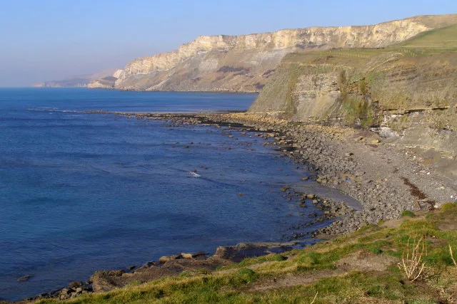
Hobarrow Bay
Mountains & hills · 1.2 km
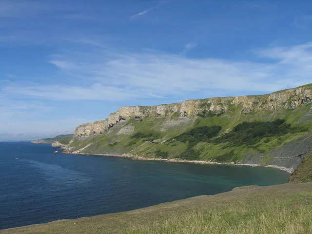
Brandy Bay
Mountains & hills · 1.6 km

Old Site of Clavel Tower
Archaeological sites · 1.6 km

Hen Cliff
Natural landmarks · 1.6 km

Clavell Tower
Follies · 1.6 km

Fine Foundation Marine Centre
Natural landmarks · 1.7 km

Tyneham Cap
Mountains & hills · 1.9 km

Tyneham Cap
Mountains & hills · 2.0 km

Gad Cliff
Natural landmarks · 2.3 km
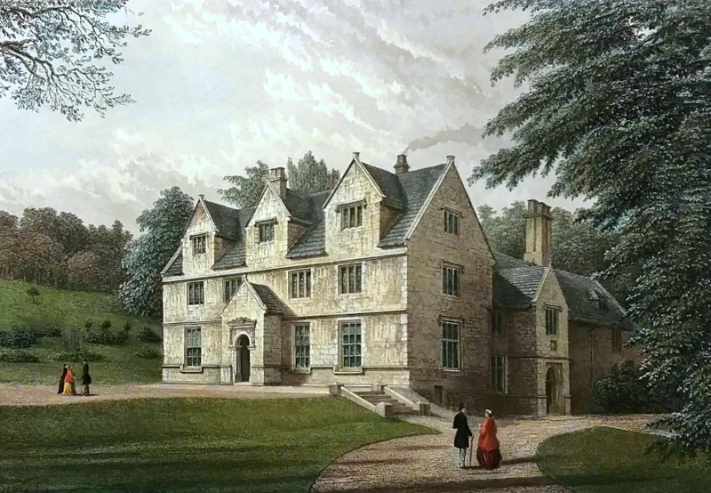
Tyneham House
Stately homes · 2.4 km
Gold Down
Mountains & hills · 2.5 km

Tyneham
Museums · 2.8 km
Nearby
📷 5📷 5📷 5Archaeological sites · South West England
Old Site of Clavel Tower
Old Site of Clavel Tower — a archaeological in england-south-east, United Kingdom.
📷 5📷 5📷 5Natural landmarks · South West England
Fine Foundation Marine Centre
Fine Foundation Marine Centre — a other in england-south-east, United Kingdom.
Where to eat & stay near Kimmeridge Bay
Places to stay
 📷 5
📷 5Campsites · South West England
Steaple Leaze Farm Campsite.
Steaple Leaze Farm Campsite. — a campsite in england south east.
 📷 5
📷 5Campsites · South West England
East Creech Farm Campsite
East Creech Farm Campsite — a campsite in england south east.
 📷 5
📷 5Campsites · South West England
Church Farm Campsite
Church Farm Campsite — a campsite in england south east.
 📷 5
📷 5Campsites · South West England
Bucknowle Farm campsite
Bucknowle Farm campsite — a campsite in england south east.
 📷 7
📷 7Hotels · South West England
Kingston Country Courtyard
Kingston Country Courtyard — a hotel in england south east.
 📷 5
📷 5Campsites · South West England
Corfe Castle Camping and Caravanning Club Site
Corfe Castle Camping and Caravanning Club Site — a campsite in england south east.
Places to eat & drink
 📷 7
📷 7Historic pubs · South West England
The Scott Arms, Including Outbuilding On Left
The Scott Arms, Including Outbuilding On Left in England South West, United Kingdom.
 📷 7
📷 7Historic pubs · South West England
Square and Compass
Square and Compass in England South West, United Kingdom.
 ★ Iconic📷 3
Historic pubs · South West England
The Square and Compass
Dorset's served-through-a-hatch family pub since 1907 — fossils, cider, pumpkin festival.
 📷 7
📷 7Historic pubs · South West England
The Old Granary
The Old Granary in England South West, United Kingdom.
 📷 7
📷 7Historic pubs · South West England
No 46 (The Pure Drop Public House)
No 46 (The Pure Drop Public House) in England South West, United Kingdom.
 📷 7
📷 7Historic pubs · South West England
Black Bear Hotel
Black Bear Hotel in England South West, United Kingdom.
More mountains in this region
 📷 5
📷 5 📷 5
📷 5 📷 5
📷 5 📷 5
📷 5Frequently asked questions
- Where is Kimmeridge Bay?
- Kimmeridge Bay is in South-West England, United Kingdom (postcode BH20 5PF), in the parish of Kimmeridge.
- What is Kimmeridge Bay?
- Kimmeridge Bay — bay in Dorset, England, UK.
- How do I get to Kimmeridge Bay?
- The nearest railway station is Norden, about 7.9 km away. The nearest town is Kimmeridge. Drivers can use postcode BH20 5PF.
- Is Kimmeridge Bay a protected site?
- Yes — Kimmeridge Bay is part of the South Dorset Coast SSSI Site of Special Scientific Interest and the Dorset National Landscape (AONB).
- Is Kimmeridge Bay free to visit?
- Yes, Kimmeridge Bay is free to enter.
- How do I get to Kimmeridge Bay?
- The nearest railway station is Norden, about 7.9 km away. Drivers can navigate to postcode BH20 5PF.