
Towns & cities · Scottish Highlands
John o'Groats
The north-eastern tip of mainland Scotland.

Bill Henderson — CC BY-SA 2.0 via Wikimedia Commons licence

Plan your visit
- Typical visit
- 3 h–6 h
About
John o'Groats is the village on the north-eastern tip of mainland Scotland, 874 road miles from Land's End and the traditional finishing point of end-to-end charity walks, runs and cycles. It is named after Jan de Groot, a 15th-century Dutch ferryman. The Pentland Firth crossing to Orkney is 11 km away; on a clear day the islands of Stroma, Hoy and Mainland Orkney are visible from the harbour wall.
Photo gallery
From the Wikipedia article
John o' Groats (Scottish Gaelic: Taigh Iain Ghròta) is a village 2+1⁄2 miles (4 kilometres) northeast of Canisbay, in the historic county of Caithness, Scotland. It lies on Scotland's north-eastern tip and is popular with tourists. The northernmost point of mainland Scotland is nearby Dunnet Head and the northeastern corner is nearby Duncansby Head. John o' Groats is sited 690 mi (1,110 km) from London, 280 mi (450 km) from Edinburgh, 6 mi (10 km) from the Orkney Isles and 2,200 mi (3,500 km) from the North Pole; it is 4+1⁄4 mi (7 km) from the uninhabited Island of Stroma. In summer, a ferry operates between John o' Groats and Burwick on South Ronaldsay in Orkney.
Excerpt from Wikipedia under CC BY-SA 4.0. See the source article linked in Sources below.
- Coordinates
- 58.6403, -3.0703
Sources
- manual: john-o-groats (manual)
- wikipedia: John o' Groats (CC BY-SA 4.0)
Featured in these 4 guides
Itinerary
The North Coast 500: Scotland's classic road trip
516 miles around the Highland coast — Britain's answer to Route 66.
Itinerary
Britain's historic spa towns
Bath, Buxton, Cheltenham, Tunbridge Wells, Royal Leamington Spa.
Itinerary
Britain's biggest summer festivals
Glastonbury, Edinburgh Fringe, Hay-on-Wye, Latitude.
Itinerary
Britain's biggest Bonfire Night events
Lewes, Ottery St Mary, and the original Bonfire Society towns.
Other places nearby
Loading nearby places…
Nearby
 📷 3
📷 3Archaeological sites · Scottish Highlands
Skitten Broch
Skitten Broch — archaeological site in Highland, Scotland, UK.
📷 3Memorials & monuments · Scottish Highlands
Skitten Airfield War Memorial
Skitten Airfield War Memorial — a memorial in scotland-highlands, United Kingdom.
 📷 3
📷 3Lighthouses · Scottish Highlands
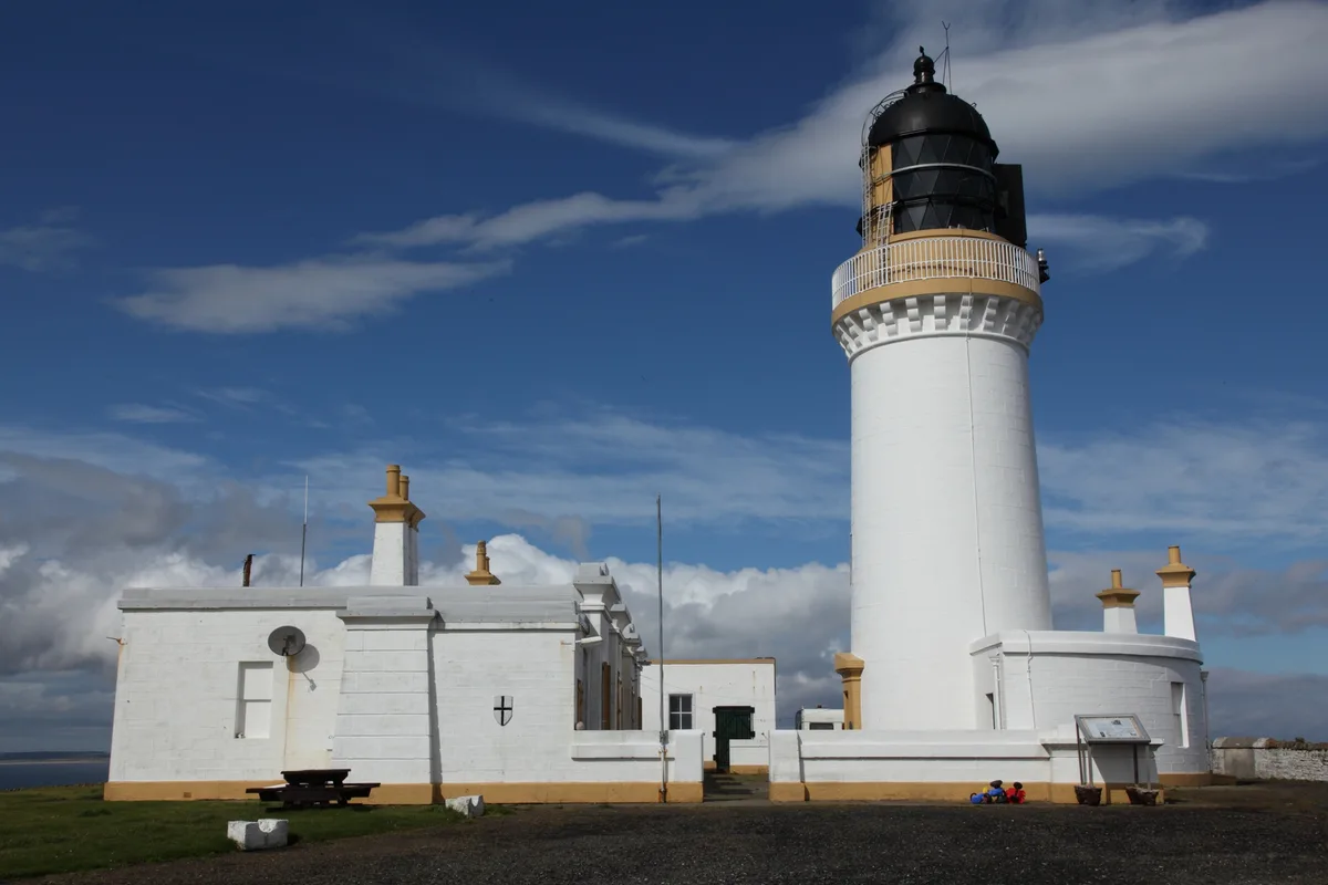
Noss Head Lighthouse
Noss Head Lighthouse — lighthouse near Wick in Caithness in the Highland council area of Scotland.
 📷 3
📷 3Maritime museums · Scottish Highlands
RNLB Thomas McCunn
RNLB Thomas McCunn in Scotland Highlands, United Kingdom.
 📷 3
📷 3Castles · Scottish Highlands
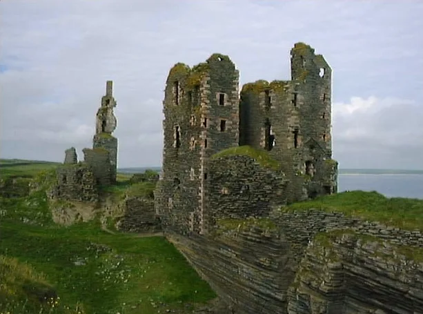
Castle Sinclair Girnigoe
Castle Sinclair Girnigoe — castle in Highland, Scotland, UK.
 📷 3
📷 3Castles · Scottish Highlands
Ackergil Tower
Ackergil Tower — a castle in scotland-highlands, United Kingdom.
More towns in this region
 📷 3
📷 3Towns & cities · Scottish Highlands
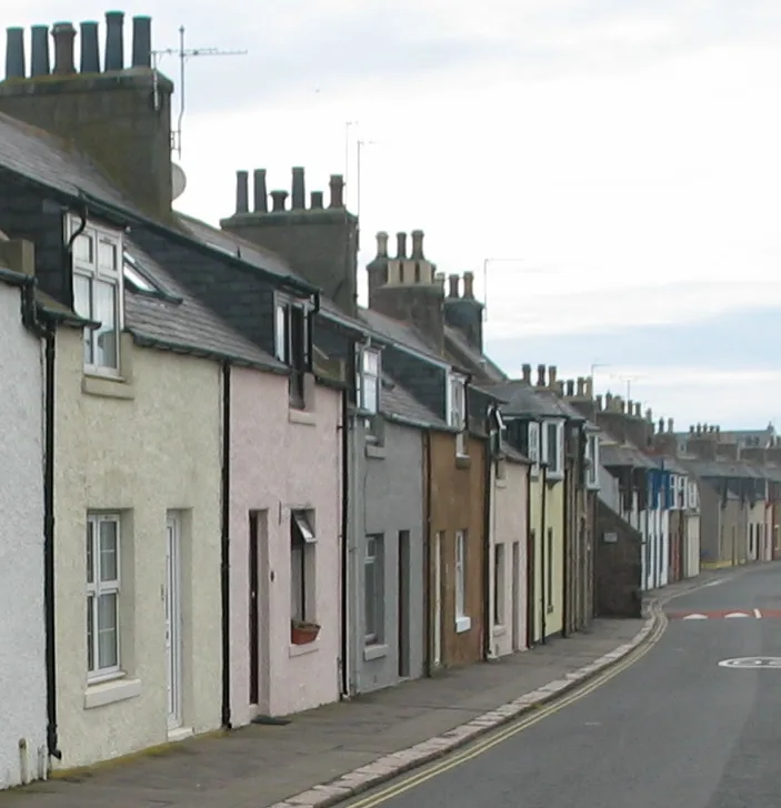
Cruden Bay
Cruden Bay — village in Aberdeenshire, Scotland, UK.
 📷 3
📷 3Towns & cities · Scottish Highlands
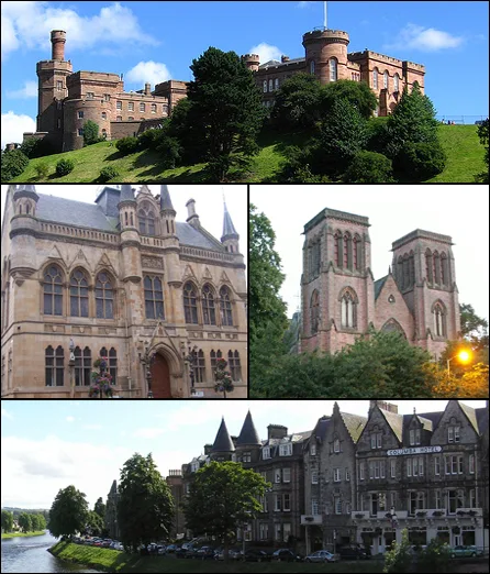
Inverness
Inverness — city in the Highlands of Scotland, United Kingdom.
 📷 3
📷 3Towns & cities · Scottish Highlands
Kyle of Lochalsh
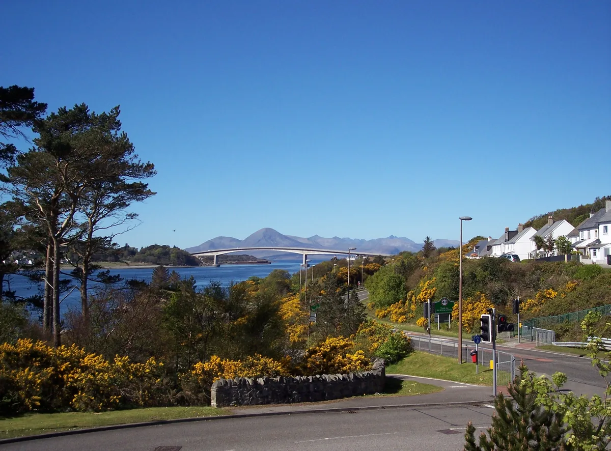
Kyle of Lochalsh — village in Highland, Scotland, UK.
 📷 3
📷 3Towns & cities · Scottish Highlands
Aberchirder
Aberchirder — village in Aberdeenshire, Scotland, UK.
Frequently asked questions
- Where is John o'Groats?
- John o'Groats is in Scottish Highlands, in the United Kingdom — coordinates 58.6403°, -3.0703°.