
Islands · Scottish Islands
Muckle Skerry
Muckle Skerry — largest of the Pentland Skerries that lie off the north coast of Scotland, uk.

Wikimedia Commons contributors — see linked file page for photographer and licence licence

Plan your visit
- Typical visit
- 4 h–12 h
- Dog-friendly
About
Muckle Skerry is a island in the United Kingdom. Part of Orkney Islands. Wikidata describes it as: "largest of the Pentland Skerries that lie off the north coast of Scotland, uk". Coordinates: 58.6886°, -2.9244°.
Photo gallery
From the Wikipedia article
Muckle Skerry is the largest of the Pentland Skerries, a group of uninhabited islets that lie off the north coast of Scotland in the Pentland Firth. It is home to the Pentland Skerries Lighthouse, in the north of the island. The skerry is approximately 1 km (0.6 mi) by 0.6 km (0.4 mi), with an area of 40 ha (100 acres). It is surrounded by low cliffs, with caves and geos. There is a small landing point in Scartan Bay, to the east, with a track to the lighthouse. There is also a small burial ground. Together with Swona, it forms the Pentland Firth Islands SSSI.
Excerpt from Wikipedia under CC BY-SA 4.0. See the source article linked in Sources below.
- Coordinates
- 58.6886, -2.9244
- Address
- Muckle Skerry<br>Pentland Skerries<br>Orkney<br>Scotland<br>United Kingdom
Sources
- wikidata: Q2400160 (CC0)
- wikipedia: Muckle Skerry (CC BY-SA 4.0)
- commons: Muckle Skerry from the air - geograph.org.uk - 861336.jpg (CC BY-SA 4.0)
Other places nearby
Loading nearby places…
Nearby
 📷 2
📷 2Lighthouses · Scottish Islands
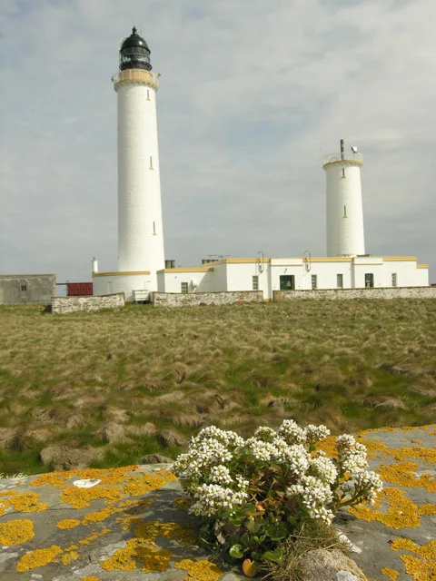
Pentland Skerries Low Light
Pentland Skerries Low Light — lighthouse in Orkney Islands, Scotland, UK.
 📷 2
📷 2Lighthouses · Scottish Islands
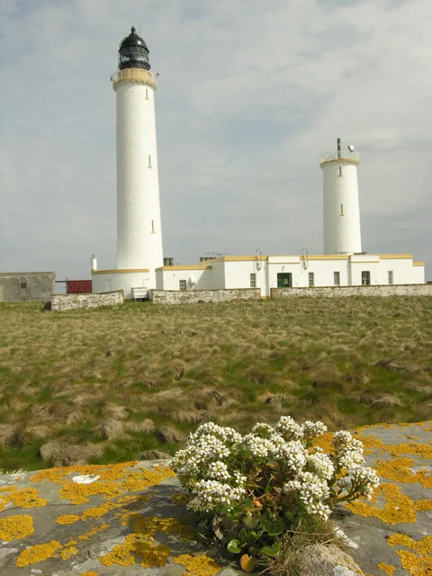
Pentland Skerries High Light
Pentland Skerries High Light — lighthouse in Orkney Islands, Scotland, UK.
Lighthouses · Scottish Islands
Pentland Skerries
Pentland Skerries in Orkney + Shetland, United Kingdom.
 📷 3
📷 3Archaeological sites · Scottish Islands
Tomb of the Otters
Tomb of the Otters — a archaeological in scotland-islands, United Kingdom.
 📷 3
📷 3Museums · Scottish Islands
Tomb of the Eagles Visitor's Centre
Tomb of the Eagles Visitor's Centre — a museum in scotland-islands, United Kingdom.
 📷 3
📷 3Mountains & hills · Scottish Islands
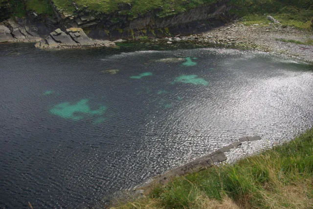
Ham Geo
Ham Geo — bay in Orkney Islands, Scotland, UK.
More places in this region
 📷 3
📷 3Islands · Scottish Islands
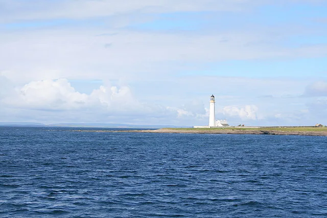
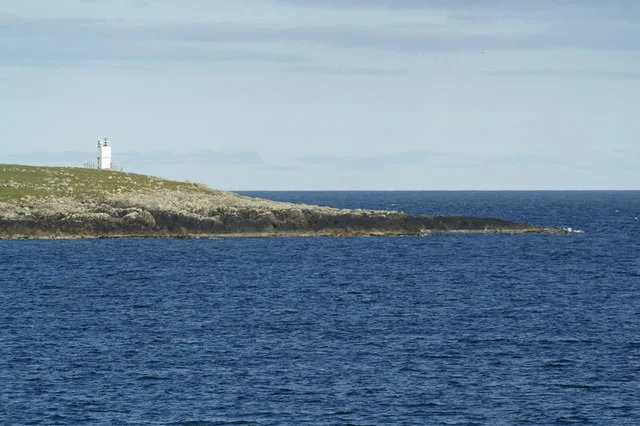
Auskerry
Auskerry — small island in eastern Orkney, Scotland, UK.
 📷 3
📷 3Islands · Scottish Islands
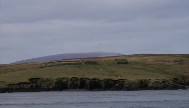
Balta
Balta — island of the Shetland Islands, Scotland, UK, east of Unst.
 📷 3
📷 3Islands · Scottish Islands
Bigga
Bigga — an uninhabited island in the Yell Sound between the Mainland and Yell in Shetland, Scotland.
 📷 3
📷 3Islands · Scottish Islands
Bressay
Bressay — populated island in the Shetland Islands, Scotland, UK.
Frequently asked questions
- Where is Muckle Skerry?
- Muckle Skerry is in Scottish Islands, in the United Kingdom — coordinates 58.6886°, -2.9244°.