
Natural landmarks · East of England
Horsey Windpump
In or near Martham.
Horsey Windpump — a other in england-east-midlands, United Kingdom.

Michael Garlick — CC BY-SA 2.0 via Wikimedia Commons licence

Plan your visit
- Typical visit
- 1 h–2 h
- Free entry
- Family-friendly
- Dog-friendly
About
Horsey Windpump is a other located in england-east-midlands, United Kingdom. Sourced from OpenStreetMap (ODbL licence); see local listings for visitor information, opening hours and admission details.
Photo gallery
See it from the streetimagery from 2022
Imagery © Mapillary contributors, CC BY-SA 4.0
Heritage listing
Details TG 42 SE HORSEY HORSEY ROAD 7/21 Horsey Drainage Mill 16.4.55 (formerly listed as Horsey Draining Pump) II* Draining windpump. Mid C19, rebuilt 1897 and 1912 (by Dan England), restored 1961. Tapering brick tower and weatherboarded timber boat-shaped cap. 4 storeys. Segmental-headed double doors to north. Casement under segmental arch to second floor. Square-headed ground floor window to south. Similar windows to ground and first floors of east side and to top floor of west side. Cap with fan cradle, 8-vaned fantail, petticoat and 4 stocks and sails. Interior. Upright shaft, spur wheel, pitwheel and scoop wheel shaft to ground floor. (External scoop wheel replaced with engine in attached outbuilding.) Windshaft, brakewheel and wallower in cap. Listing NGR: TG4573322146 Legacy The contents of this record have been generated from a legacy data system. Legacy System number: 223656 Legacy System: LBS
From the Historic England List Entry under OGL v3.
Protected designations
- Site of Special Scientific Interest: Upper Thurne Broads and Marshes SSSI
- Area of Outstanding Natural Beauty: Norfolk Coast
- Ramsar wetland: Broadland
Designations sourced from Natural England open data under OGL v3.
Place summary
Horsey Windpump is located in the East Midlands, NR29. This iconic drainage windpump is a notable structure within the Broads National Park, serving as a reminder of the region's historical reliance on wind power for land drainage.
AI-generated from the structured facts on this page (operator, designation, listing, era). Not a substitute for visiting.
- Coordinates
- 52.7411, 1.6390
- County
- Norfolk
- District
- North Norfolk
- Parish
- Horsey
- Postcode
- NR29 4EE
- Parliamentary constituency
- North Norfolk
- Official site
- www.nationaltrust.org.uk
Sources
- osm: way/390517553 (ODbL)
Other places nearby

Horsey Mere
Viewpoints · 0.3 km

Horsey Mere viewing area
Natural landmarks · 0.3 km
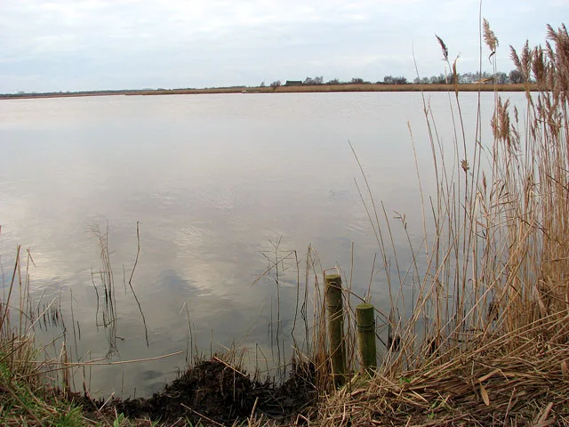
Horsey Mere
Natural landmarks · 0.8 km

Horsey, Norfolk
Museums · 0.9 km

Brograve Mill
Gardens · 1.7 km
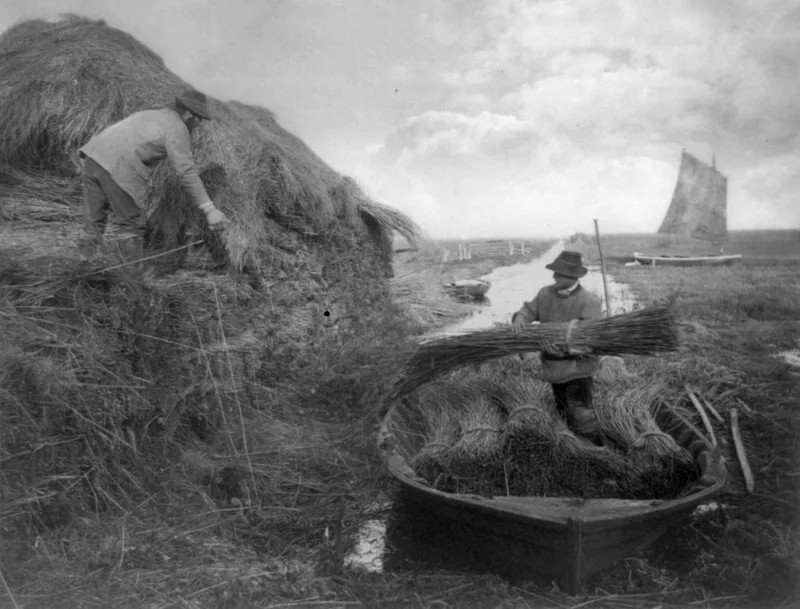
The Broads
National parks · 1.9 km
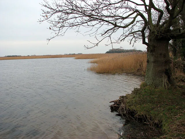
Martham Broad
Natural landmarks · 1.9 km
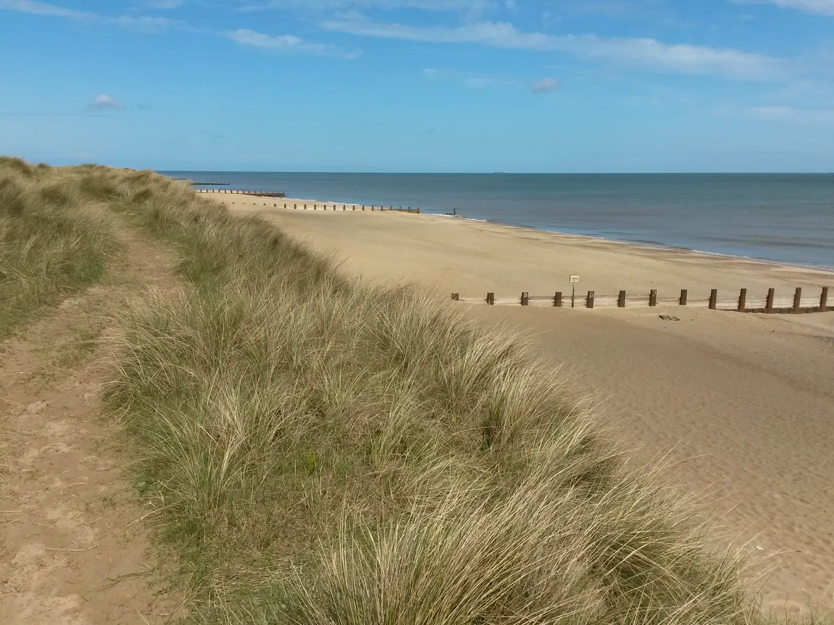
Horsey Beach
Beaches · 1.9 km

Stubb Mill
Windmills · 2.0 km

Stubb Mill Raptor Watchpoint
Viewpoints · 2.0 km

Horsey - Seal viewing
Natural landmarks · 2.0 km

Horsey
Villages · 2.1 km
Nearby
📷 4Viewpoints · East of England
Horsey Mere
Horsey Mere is a viewpoint in the United Kingdom.
📷 3Natural landmarks · East of England
Horsey Mere viewing area
Horsey Mere viewing area — a other in england-east-midlands, United Kingdom.
📷 4📷 5Museums · East of England
Horsey, Norfolk
Horsey is a village and civil parish in the English county of Norfolk, within The Broads National Park. Horsey is located 9.9 miles (15.9 km) north of Great Yarmouth and 17 miles (27 km) north-east of
📷 5Gardens · East of England
Brograve Mill
Brograve Mill — a garden in england-east-midlands, United Kingdom.
Flagship📷 5National parks · East of England
The Broads
The Broads is a Network of rivers and lakes in East Anglia.
Where to eat & stay near Horsey Windpump
Places to stay
 📷 5
📷 5Campsites · East of England
Waxham Sands Holiday Park
Waxham Sands Holiday Park — a campsite in england east midlands.
 📷 5
📷 5Campsites · East of England
Walnut Farm
Walnut Farm — a campsite in england east midlands.
 📷 5
📷 5 📷 5
📷 5 📷 5
📷 5Caravan parks · East of England
Norfolk Broads Caravan Park
Norfolk Broads Caravan Park — a caravan park in england east midlands.
 📷 5
📷 5Places to eat & drink
 📷 5
📷 5 📷 5
📷 5 📷 5
📷 5Historic pubs · East of England
Two Necked Swan Public House
Two Necked Swan Public House in England East, United Kingdom.
 📷 5
📷 5Historic pubs · East of England
St Johns Head Public House
St Johns Head Public House in England East, United Kingdom.
 📷 5
📷 5Historic pubs · East of England
Dukes Head Public House
Dukes Head Public House in England East, United Kingdom.
 📷 5
📷 5Historic pubs · East of England
Peggottys Public House
Peggottys Public House in England East, United Kingdom.
More natural landmarks in this region
 📷 5
📷 5Natural landmarks · East of England
Orton Mere
Orton Mere — lake in Peterborough, Cambridgeshire, England, UK.
 📷 5
📷 5Natural landmarks · East of England
Magog Down
Magog Down — a other in england-london, United Kingdom.
 📷 5
📷 5Natural landmarks · East of England
Abington Pottery
Abington Pottery — a other in england-london, United Kingdom.
 📷 5
📷 5Natural landmarks · East of England
Car Dyke
Car Dyke — a other in england-london, United Kingdom.
Frequently asked questions
- Where is Horsey Windpump?
- Horsey Windpump is in Norfolk, East of England, United Kingdom (postcode NR29 4EE), in the parish of Horsey.
- What is Horsey Windpump?
- Horsey Windpump — a other in england-east-midlands, United Kingdom.
- How do I get to Horsey Windpump?
- The nearest town is Martham. Drivers can use postcode NR29 4EE.
- Is Horsey Windpump a listed building?
- Horsey Windpump is officially recognised as Grade II* listed building listed.
- Is Horsey Windpump a protected site?
- Yes — Horsey Windpump is part of the Upper Thurne Broads and Marshes SSSI Site of Special Scientific Interest and the Norfolk Coast National Landscape (AONB).
- Is Horsey Windpump free to visit?
- Yes, Horsey Windpump is free to enter.
- How do I get to Horsey Windpump?
- Drivers can navigate to postcode NR29 4EE. It sits within the North Norfolk parliamentary constituency.