
Viewpoints · East of England
Horsey Mere
In or near Martham.
Horsey Mere is a viewpoint in the United Kingdom.

Evelyn Simak — CC BY-SA 2.0 via Wikimedia Commons licence

Plan your visit
- Typical visit
- 20 min–45 min
- Best time of year
- Clear days year-round
- Free entry
- Dog-friendly
- Limited wheelchair access
About
Horsey Mere is a named viewpoint in Norfolk, the East Midlands, marked on Ordnance Survey maps for its outlook. The site is within the Norfolk Coast National Landscape (AONB), and is a designated Site of Special Scientific Interest. It sits within the North Norfolk parliamentary constituency. Postcode area NR29.
Photo gallery
Protected designations
- Site of Special Scientific Interest: Upper Thurne Broads and Marshes SSSI
- Area of Outstanding Natural Beauty: Norfolk Coast
- Ramsar wetland: Broadland
Designations sourced from Natural England open data under OGL v3.
From the Wikipedia article
Horsey Mere is one of the Norfolk Broads in the east of England; it is one of the more northerly broads close to the North Sea coast. It is reached by Hickling Broad and the River Thurne. The nearest settlements are Horsey and West Somerton. Horsey Mere is part of Upper Thurne Broads and Marshes, a Site of Special Scientific Interest. The mere is owned by the National Trust, as is Horsey Windpump. The mere has a catchment area of 82 hectares (200 acres), a maximum depth of 1.5 metres (4 ft 11 in), and a surface area of 33 hectares (82 acres). The volume of water held in the mere is approximately 491,313 cubic metres (17,350,600 cu ft).
Excerpt from Wikipedia under CC BY-SA 4.0. See the source article linked in Sources below.
- Coordinates
- 52.7418, 1.6353
- County
- Norfolk
- District
- North Norfolk
- Parish
- Horsey
- Postcode
- NR29 4EE
- Parliamentary constituency
- North Norfolk
- Official site
- www.nationaltrust.org.uk
Sources
- osm: n324579172 (ODbL)
- wikipedia: Horsey Mere (CC BY-SA 4.0)
Other places nearby

Horsey Mere viewing area
Natural landmarks · 0.0 km

Horsey Windpump
Natural landmarks · 0.3 km
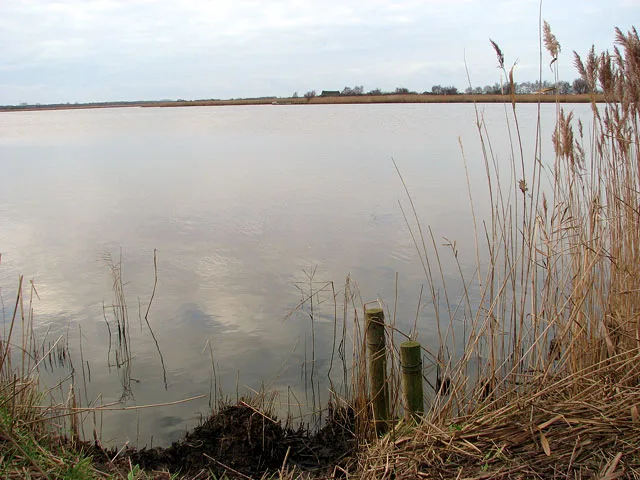
Horsey Mere
Natural landmarks · 0.6 km

Horsey, Norfolk
Museums · 0.8 km

Brograve Mill
Gardens · 1.5 km

Stubb Mill
Windmills · 1.7 km

Stubb Mill Raptor Watchpoint
Viewpoints · 1.7 km
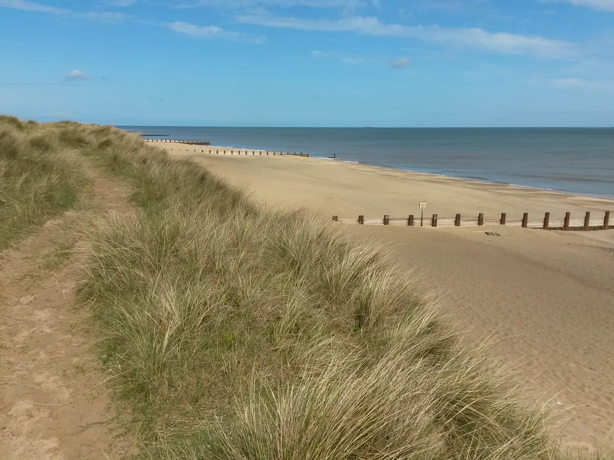
Horsey Beach
Beaches · 2.0 km
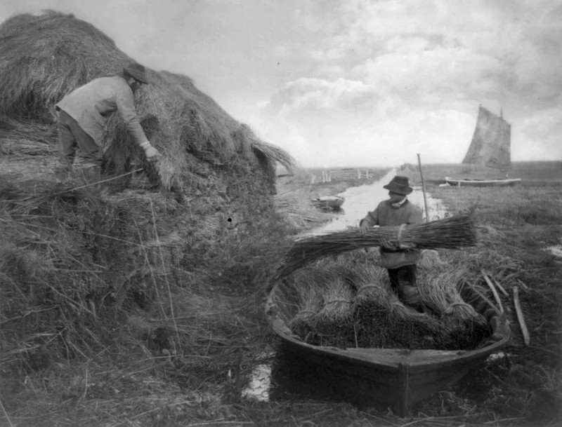
The Broads
National parks · 2.0 km
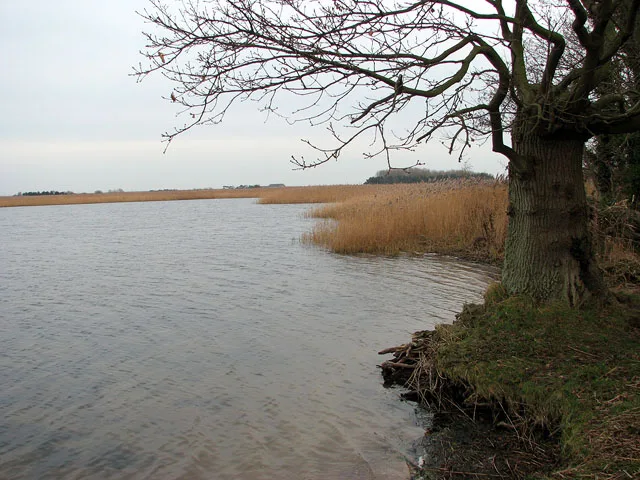
Martham Broad
Natural landmarks · 2.0 km

Horsey - Seal viewing
Natural landmarks · 2.2 km

Horsey
Villages · 2.3 km
Nearby
📷 3Natural landmarks · East of England
Horsey Mere viewing area
Horsey Mere viewing area — a place in East of England, United Kingdom.
📷 3Natural landmarks · East of England
Horsey Windpump
Horsey Windpump — a place in East of England, United Kingdom.
📷 4📷 5Museums · East of England
Horsey, Norfolk
Horsey is a village and civil parish in the English county of Norfolk, within The Broads National Park. Horsey is located 9.9 miles (15.9 km) north of Great Yarmouth and 17 miles (27 km) north-east of
📷 5Gardens · East of England
Brograve Mill
Brograve Mill — a garden in england-east-midlands, United Kingdom.
📷 3Where to eat & stay near Horsey Mere
Places to stay
 📷 5
📷 5Campsites · East of England
Waxham Sands Holiday Park
Waxham Sands Holiday Park — a campsite in england east midlands.
 📷 5
📷 5Campsites · East of England
Walnut Farm
Walnut Farm — a campsite in england east midlands.
 📷 5
📷 5 📷 5
📷 5 📷 5
📷 5Caravan parks · East of England
Norfolk Broads Caravan Park
Norfolk Broads Caravan Park — a caravan park in england east midlands.
 📷 5
📷 5Places to eat & drink
 📷 5
📷 5 📷 5
📷 5 📷 5
📷 5Historic pubs · East of England
Two Necked Swan Public House
Two Necked Swan Public House in England East, United Kingdom.
 📷 5
📷 5Historic pubs · East of England
St Johns Head Public House
St Johns Head Public House in England East, United Kingdom.
 📷 5
📷 5Historic pubs · East of England
Dukes Head Public House
Dukes Head Public House in England East, United Kingdom.
 📷 5
📷 5More viewpoints in this region
 📷 5
📷 5 📷 5
📷 5 📷 5
📷 5 📷 5
📷 5Frequently asked questions
- Where is Horsey Mere?
- Horsey Mere is in Norfolk, East of England, United Kingdom (postcode NR29 4EE), in the parish of Horsey.
- What is Horsey Mere?
- Horsey Mere is a viewpoint in the United Kingdom.
- How do I get to Horsey Mere?
- The nearest town is Martham. Drivers can use postcode NR29 4EE.
- Is Horsey Mere a protected site?
- Yes — Horsey Mere is part of the Upper Thurne Broads and Marshes SSSI Site of Special Scientific Interest and the Norfolk Coast National Landscape (AONB).
- Is Horsey Mere free to visit?
- Yes, Horsey Mere is free to enter.
- How do I get to Horsey Mere?
- Drivers can navigate to postcode NR29 4EE. It sits within the North Norfolk parliamentary constituency.